The best MTB trails around Fontburn Reservoir
4.4
(57)
255
riders
15
rides
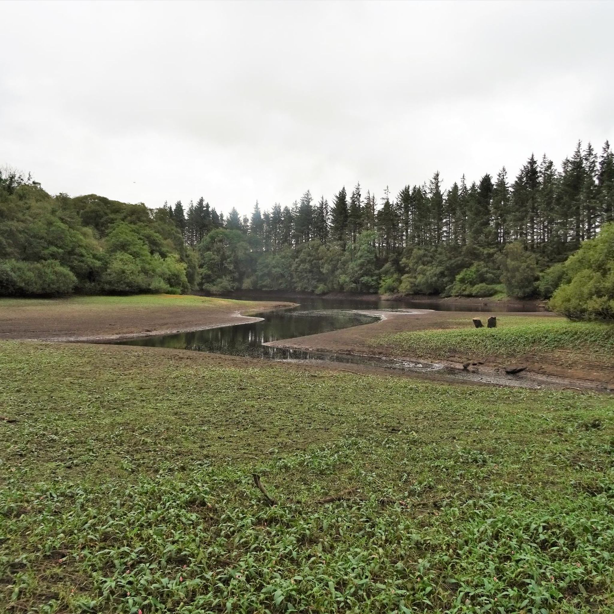
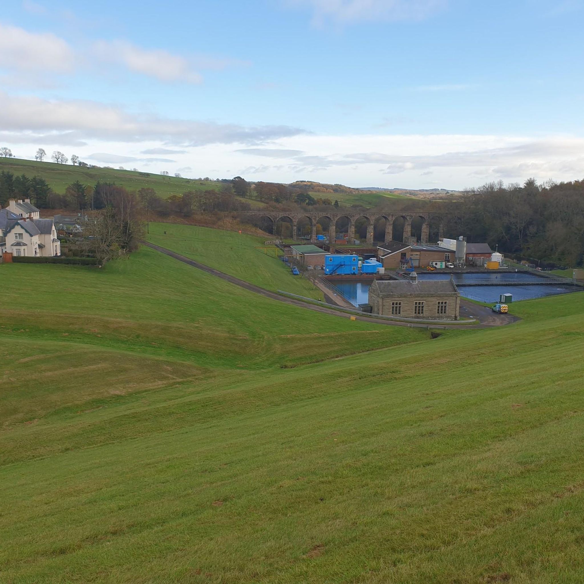
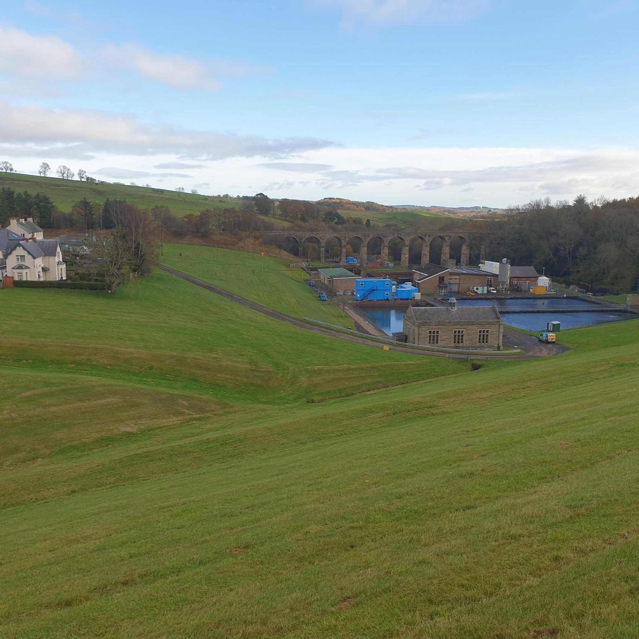
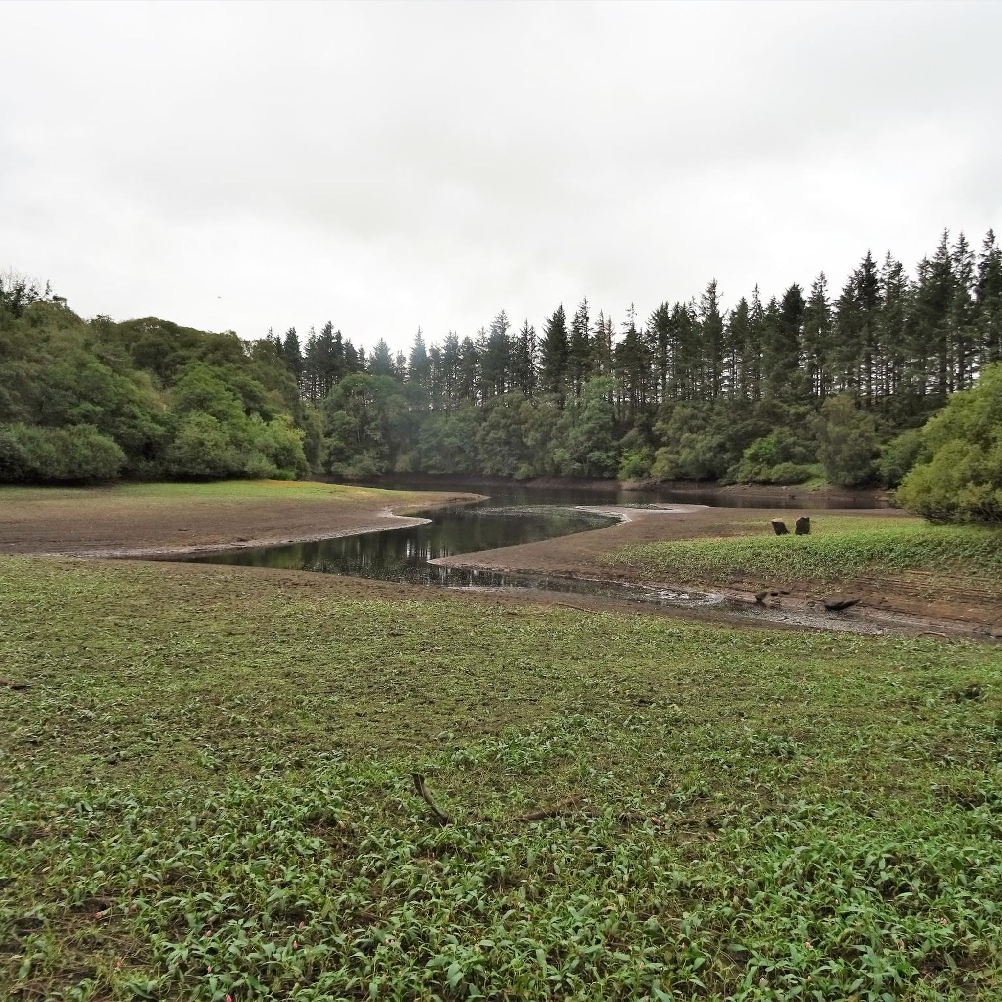
Mountain biking around Fontburn Reservoir offers routes through the rolling hills and forested landscapes of Northumberland. The area features a mix of open tracks, gravel paths, and trails that wind through woodlands and along the reservoir's perimeter. Riders can expect varied terrain, including gentle ascents and descents, with opportunities to explore the wider Simonside Hills region. The network provides options for different skill levels, from easy loops to more challenging moderate routes.
Best mountain bike trails around Fontburn Reservoir
- The…
Last updated: July 9, 2026
4.7
(6)
38
riders
Moderate mountain bike ride. Good fitness required. Suitable for all skill levels.
5.0
(1)
14
riders
35.2km
03:07
570m
570m
Moderate mountain bike ride. Good fitness required. Suitable for all skill levels.

Sign up for free
5.0
(1)
2
riders
15.9km
01:24
170m
170m
Easy mountain bike ride. Great for any fitness level. Suitable for all skill levels.
5.0
(2)
3
riders
24.8km
02:14
310m
310m
Moderate mountain bike ride. Good fitness required. Suitable for all skill levels.
4.6
(18)
67
riders
31.8km
02:52
560m
560m
Embark on a mountain biking adventure through the Simonside & Whitefield Hill loop from Rothbury, a moderate route that spans 19.7 miles (31.8 km) with an elevation gain of 1844…
Get access to more routes and recommendations from other explorers.
Sign up for free
Already have an account?
Our route recommendations are based on thousands of hikes, rides, and runs completed by other people on komoot.
Start today with a free account
Your next adventure awaits.
Login or Signup

Tips from the Community


Good trails to ride on, great views on a sunny day. Can either include as part of a Rothbury/Simonside ride, or head over to Harwood Forest
0
0
Top of the Whitefield Trail. Tremendous descent down to Hepple. Some pretty lumpy gravel in places, finishes on a meadow track. Doable on a gravel bike I guess but wider tyres would make for a better ride
0
0
Tremendous descent, would be a tough climb in places
0
0

Very rocky but a lot of fun.
0
0
Frequently Asked Questions
How many mountain bike trails are available around Fontburn Reservoir?
There are over a dozen mountain bike trails around Fontburn Reservoir, offering a variety of experiences. The komoot community has mapped 16 routes in total, ranging from easy to moderate difficulty.
Are there easy mountain bike trails suitable for beginners around Fontburn Reservoir?
Yes, there are 4 easy mountain bike routes in the Fontburn Reservoir area, perfect for beginners or those looking for a relaxed ride. An example is the Rough Gravel Track – Rough Dirt Road loop from Harwood, which is about 9.9 miles (15.9 km) long.
What is the general difficulty level of mountain bike trails in Fontburn Reservoir?
The trails around Fontburn Reservoir primarily feature easy and moderate difficulty levels. Out of 16 routes, 4 are easy, 11 are moderate, and there is 1 more challenging route, providing options for various skill sets.
What are the typical lengths of mountain bike trails in the Fontburn Reservoir area?
Trail lengths vary, with many routes falling between 10 to 20 miles. For instance, the Viewpoint on Simonside Hills – Whitefield Trail loop from Whitton and Tosson is 12.1 miles (19.5 km), while the Simonside Car Park – Viewpoint on Simonside Hills loop from Whitton and Tosson covers 14.9 miles (24.0 km).
Are there family-friendly mountain bike trails around Fontburn Reservoir?
Yes, the easy-rated trails are generally suitable for families. These routes often feature less technical terrain and gentler gradients, making them enjoyable for riders of different ages and abilities. Look for the easy-rated tours on komoot for suitable options.
When is the best time of year for mountain biking around Fontburn Reservoir?
The best time for mountain biking around Fontburn Reservoir is typically from spring through early autumn (April to October). During these months, the weather is generally milder and drier, offering better trail conditions and more pleasant riding experiences through the Northumberland landscape.
Are there circular mountain bike trails available in the Fontburn Reservoir area?
Yes, many of the mountain bike trails around Fontburn Reservoir are circular routes, allowing you to start and finish at the same point. An example is the View of Forest Tracks – View of Northumberland Forest loop from Harwood, which offers a scenic loop through the area.
What do other mountain bikers enjoy most about mountain biking in Fontburn Reservoir?
The area is highly rated by the komoot community, with an average score of 4.4 stars from over 50 reviews. Riders often praise the varied terrain, including reservoir-side paths, rolling hills, and forested tracks, as well as the expansive views of the Simonside Hills and Northumberland landscape.
Are there any viewpoints or scenic spots along the mountain bike trails?
Yes, many routes offer scenic viewpoints, particularly those that venture into the Simonside Hills. Trails like the Whitefield Trail – Viewpoint on Simonside Hills loop from Harwood are specifically named for their views, providing expansive vistas across the region's natural beauty.
What kind of terrain can I expect on the mountain bike trails?
You can expect varied terrain, including open tracks, gravel paths, and trails that wind through woodlands and along the reservoir's perimeter. The routes feature a mix of gentle ascents and descents, characteristic of the rolling hills and forested landscapes of Northumberland.
Is parking available for mountain bikers near the trails?
While specific parking facilities are often detailed on individual tour pages, areas like Simonside Car Park, mentioned in route names such as Simonside Car Park – Viewpoint on Simonside Hills loop from Whitton and Tosson, indicate designated parking spots are available at common starting points for trails in the wider Simonside Hills region.
Most popular routes around Fontburn Reservoir

Get inspired with the komoot mobile app


Explore more
Browse the best MTB trails in other regions.
