The best walks and hikes around Derwent Reservoir
4.6
(16049)
104,014
hikers
610
hikes
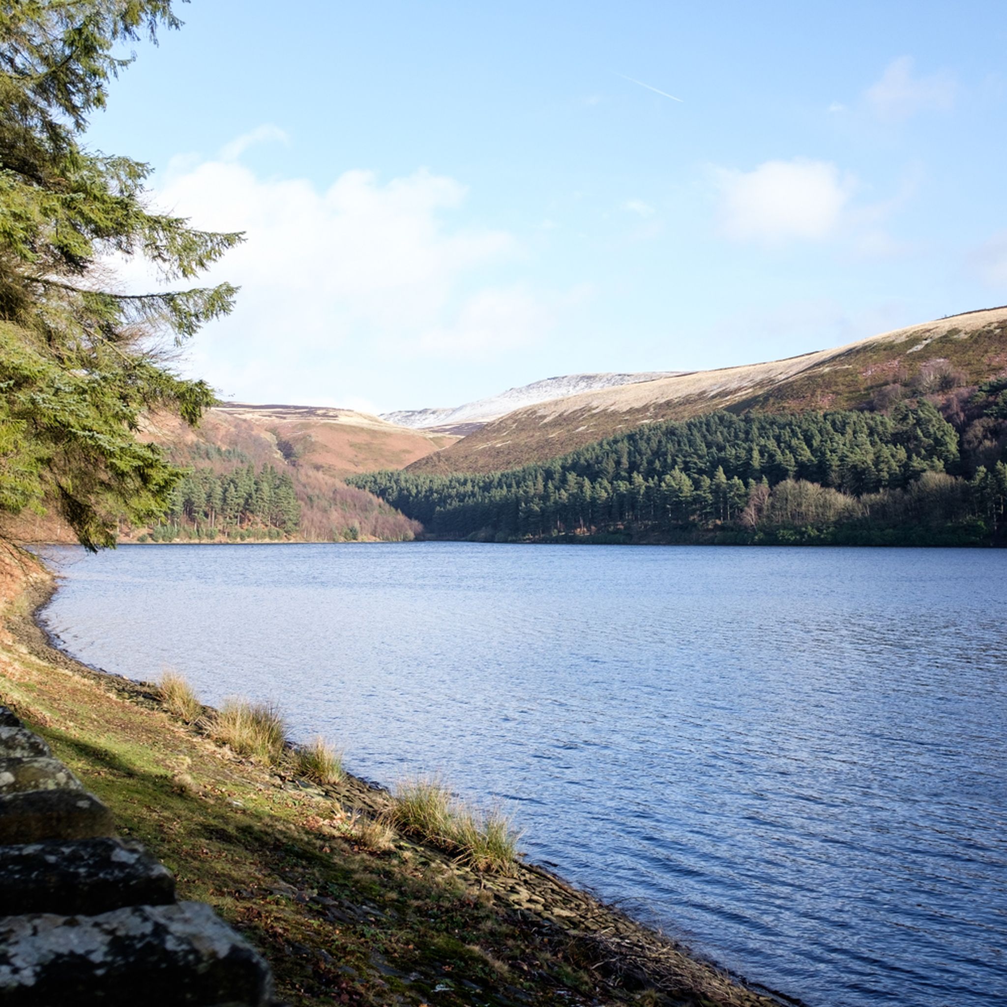
Hikes around Derwent Reservoir explore the landscape of the Upper Derwent Valley in the Peak District National Park. The region is characterized by the large bodies of water of the Derwent, Howden, and Ladybower reservoirs, which are surrounded by a mix of waterside paths, dense woodlands, and open, heather-covered moorlands. Many routes involve ascents to gritstone edges, providing expansive views across the valley.
Best hiking trails around Derwent Reservoir
- The most popular hiking route is the Derwent Edge loop — Peak District National Park, a 7.9 mile (12.8 km) trail that takes around 3 hours 45 minutes to complete. This moderate hike features a significant climb up to the well-known gritstone escarpment.
- Another top favourite among local hiking enthusiasts is the Ladybower & Derwent loop from Fairholmes — Peak District National Park, a moderate 4.4 mile (7.1 km) path. The route follows the reservoir shorelines, offering views of the historic Derwent Dam.
- Local hiking enthusiasts also love the Derwent Reservoir, Back Tor & Derwent Edge loop from Fairholmes — Peak District National Park, an 8.4 mile (13.5 km) trail leading through moorland and woodland, often completed in about 3 hours 55 minutes.
- Hiking around Derwent Reservoir is defined by expansive reservoirs, gritstone edges, and high moorlands. The network of paths offers a range of Derwent Reservoir circular walks suitable for different fitness levels, from gentle waterside strolls to more demanding hill hikes.
- The routes in Derwent Reservoir are highly rated by the komoot community with an average score of 4.6 stars from over 12,000 reviews. More than 83,000 hikers have used komoot to explore Derwent Reservoir's varied terrain.
Last updated: September 28, 2026
4.8
(185)
1,026
hikers
12.8km
03:46
340m
340m
Moderate hike. Good fitness required. Easily-accessible paths. Suitable for all skill levels.
4.9
(206)
995
hikers
Moderate hike. Good fitness required. Easily-accessible paths. Suitable for all skill levels.

4.8
(71)
243
hikers
24.9km
07:26
730m
730m
Hard hike. Very good fitness required. Easily-accessible paths. Suitable for all skill levels.
4.6
(41)
180
hikers
Hard hike. Very good fitness required. Easily-accessible paths. Suitable for all skill levels.
4.6
(30)
179
hikers
7.07km
02:08
210m
210m
Moderate hike. Good fitness required. Easily-accessible paths. Suitable for all skill levels.
Get access to more routes and recommendations from other explorers.
Already have an account?
Our route recommendations are based on thousands of hikes, rides, and runs completed by other people on komoot.
Start today with a free account
Your next adventure awaits.



Tips from the Community


The overflow is a great photo motif!
0
0

It's impressive, especially when the water level is high and it overflows into these openings.
0
0


Offers some nice views on a nice day, but can be very windy
0
0
Frequently Asked Questions
Are the hiking trails around Derwent Reservoir suitable for dogs?
Yes, dogs are welcome on most trails around Derwent Reservoir, making it a great place for a walk with your four-legged friend. However, you will be walking through areas with wildlife and potentially livestock, so it's important to keep your dog under close control, and on a lead where required by local signage.
Where can I park to start my hike?
The main starting point for many walks is the Fairholmes visitor centre, which has a large pay-and-display car park. This is the starting point for several popular routes, including trails to Derwent Dam and along the reservoir shores. Be aware that it can get very busy, especially on weekends and holidays, so arriving early is recommended.
Are there any easy, family-friendly walks available?
Yes, there are several options for families and those looking for a gentle stroll. The paths directly alongside the reservoirs are generally flat and well-maintained. Some sections, particularly around the Fairholmes visitor centre, are accessible for pushchairs and wheelchairs, offering lovely waterside views without any strenuous climbs.
Can I get to Derwent Reservoir using public transport?
Accessing the heart of the Upper Derwent Valley by public transport can be challenging as direct services are limited. The nearest train stations are in Bamford and Hathersage, but you would need to arrange a taxi or use a local bus service from there, which may not run directly to the main trailheads. It's best to check local bus timetables in advance as services can be infrequent.
What are some notable points of interest to see on a walk?
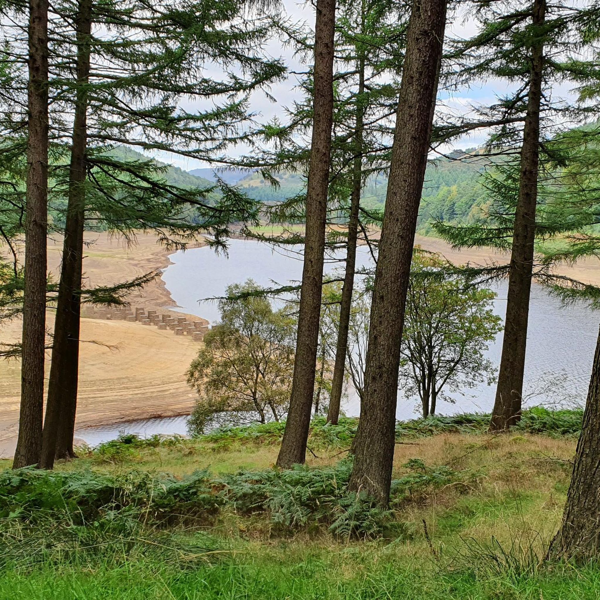
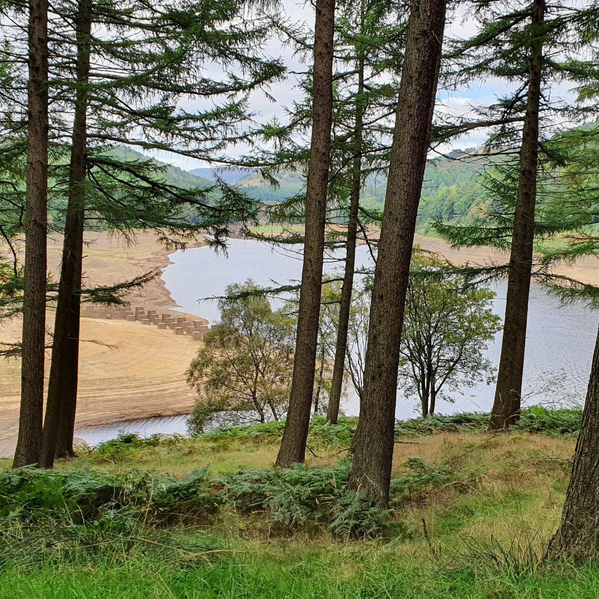
The most famous landmark is the historic Derwent Dam, known for its role in training the Dambusters squadron during WWII. A visit to the Derwent Dam Viewpoint is a must. On some routes, you might also see the unique gritstone formations of Derwent Edge or, when water levels are very low, the remains of the 'lost village' of Derwent.
Are there any pubs or cafes directly on the walking routes?
There is a cafe located at the Fairholmes visitor centre, which is a popular spot for refreshments before or after a hike. For pubs, you will generally need to travel to the nearby villages in the Hope Valley, such as Bamford or Hathersage, as there are no pubs situated directly on the main reservoir trails.
What is the best time of year to hike around Derwent Reservoir?
Hiking is possible year-round, but each season offers a different experience. Late summer is particularly beautiful when the heather on the surrounding moorlands blooms, covering the landscape in purple. Autumn brings stunning colours to the woodlands, while clear winter days can offer crisp, quiet walks. Spring sees the return of birdlife to the area.
Are there any challenging long-distance hikes in the area?
Yes, for experienced hikers seeking a challenge, the region offers demanding routes with significant elevation gain. The Ladybower, Derwent Edge & Win Hill loop is a difficult 15.5-mile (25 km) trek that rewards you with panoramic views from multiple summits.
What are the best spots for views in the Upper Derwent Valley?
For some of the most rewarding views, you'll need to climb away from the water. The hike up to Bamford Edge, a well-known rocky overhang, provides sweeping vistas across Ladybower Reservoir and the Hope Valley. The trails along Derwent Edge also offer fantastic panoramic views over the reservoirs and surrounding moorland.
How do the walks around Ladybower Reservoir compare to those at Derwent Reservoir?
Both offer stunning scenery, but they have different characteristics. The full loop around Ladybower is longer and often follows busier roads in sections. Derwent Reservoir's shoreline paths feel more secluded. For a route that combines both, the Ladybower & Derwent loop from Fairholmes offers a moderate 4.4-mile (7.1 km) hike along both shorelines.
What do other hikers enjoy most about the trails here?
The area is highly rated by the komoot community, with an average score of 4.6 stars. Reviewers often praise the dramatic scenery, particularly the combination of vast reservoirs and rugged moorlands. The well-maintained paths and the historical significance of Derwent Dam are also frequently mentioned as highlights.
How many hiking trails are there around Derwent Reservoir?
There is a vast network of trails to explore, with over 550 routes mapped on komoot in the region. These range from easy waterside paths suitable for all abilities to difficult full-day treks across the high moors, ensuring there's a walk for every type of hiker.
Most popular routes around Derwent Reservoir
Most popular attractions around Derwent Reservoir

Get inspired with the komoot mobile app


Explore more
Browse the best Hikes in other regions.
