The best running trails around Burnhope Reservoir
4.0
(1)
115
runners
18
runs
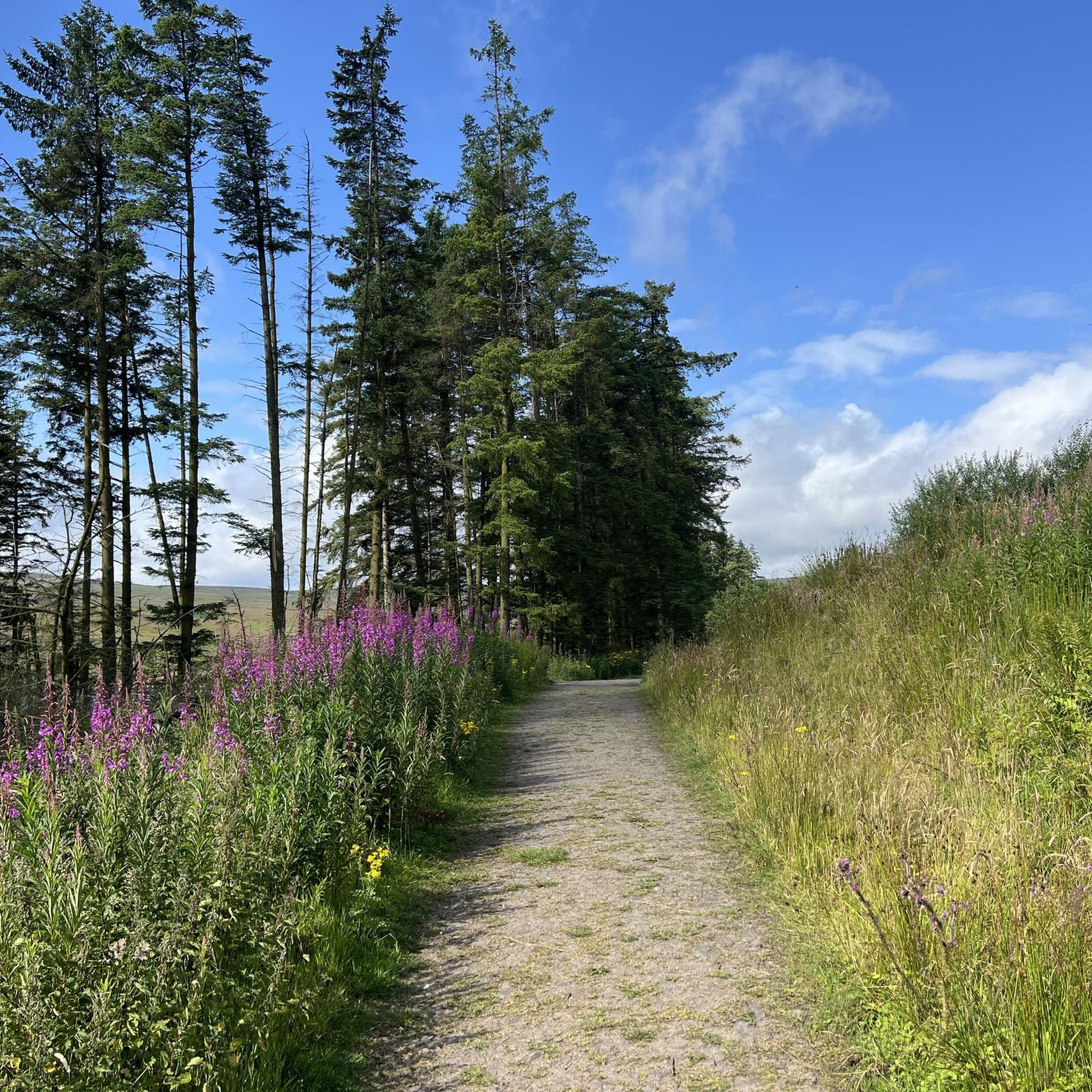
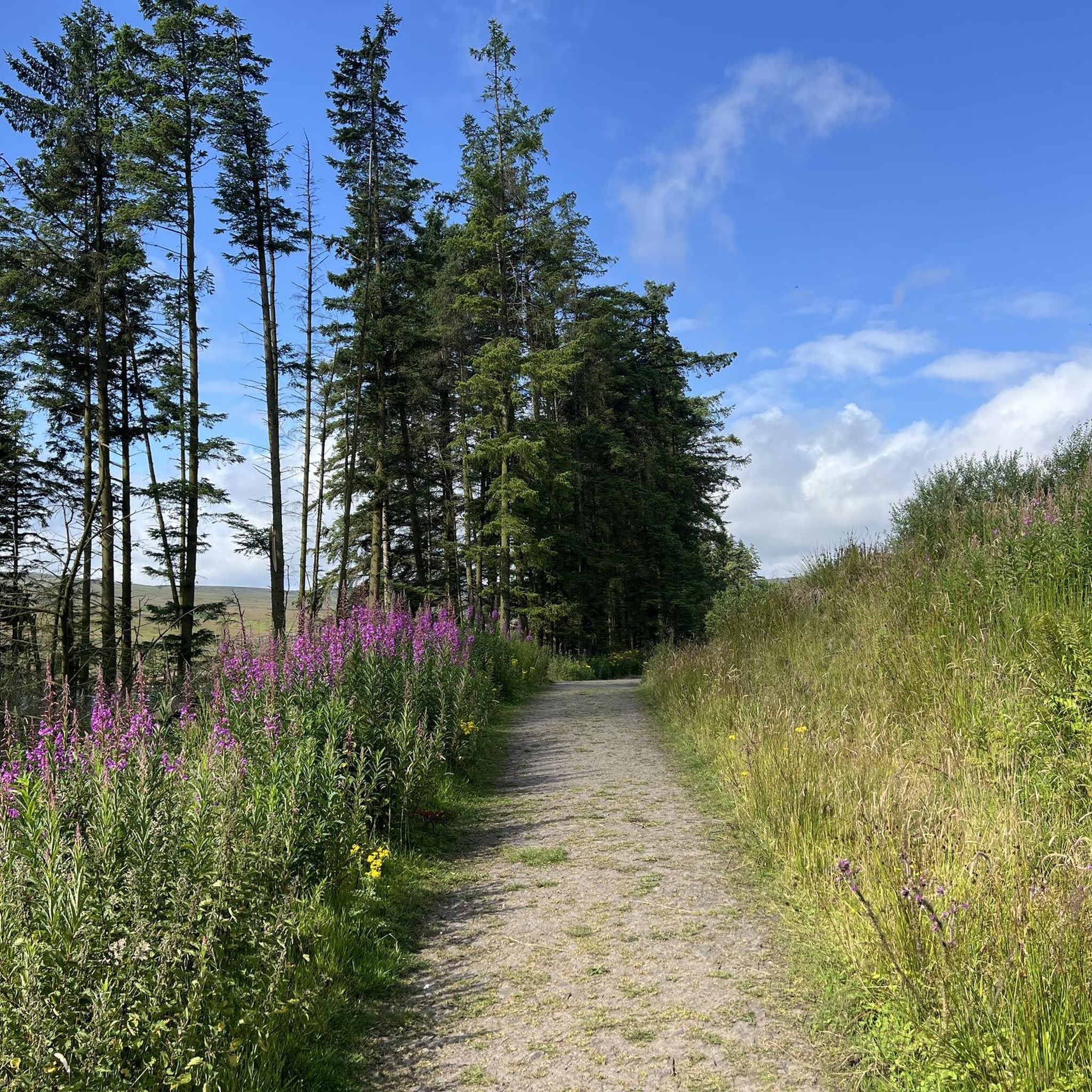
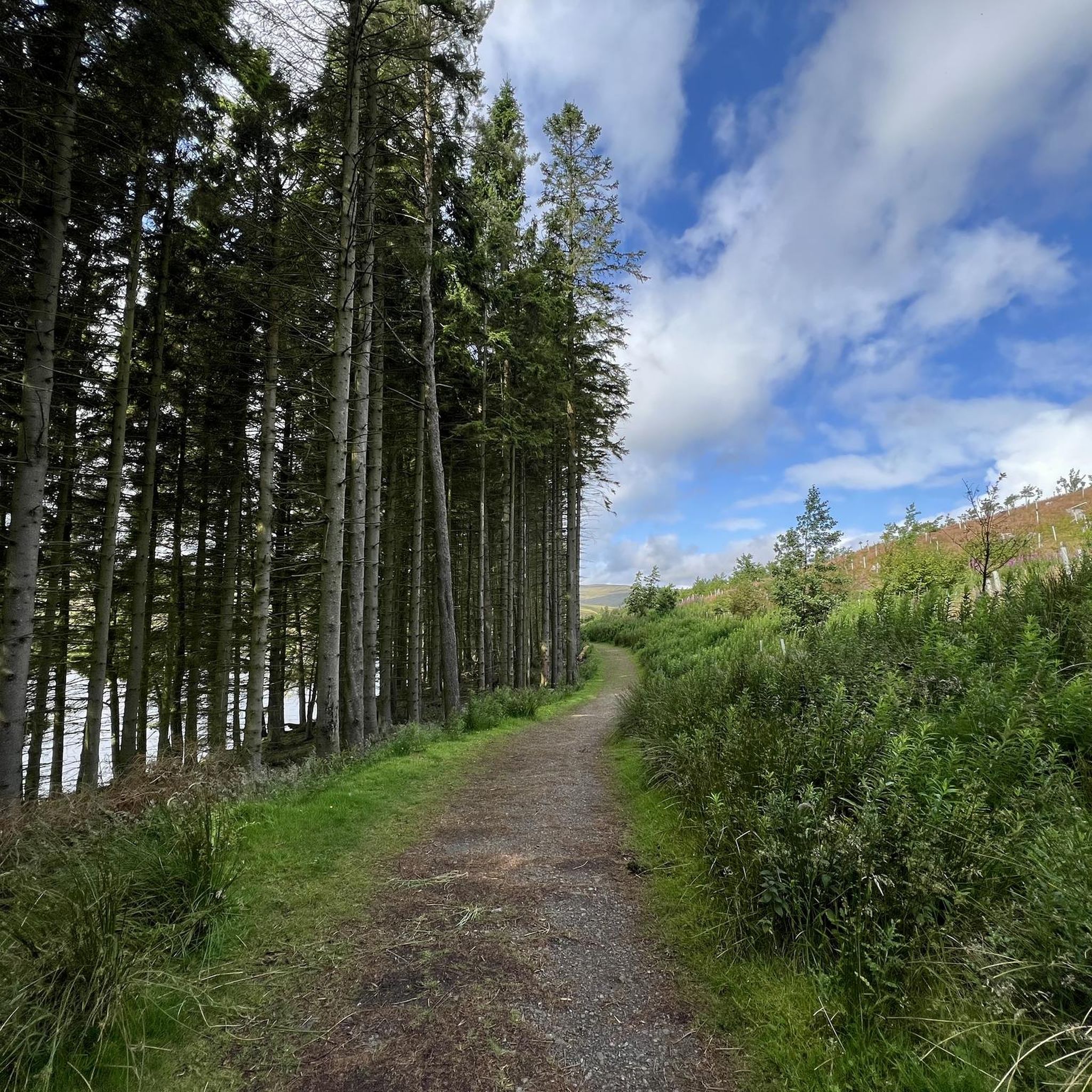
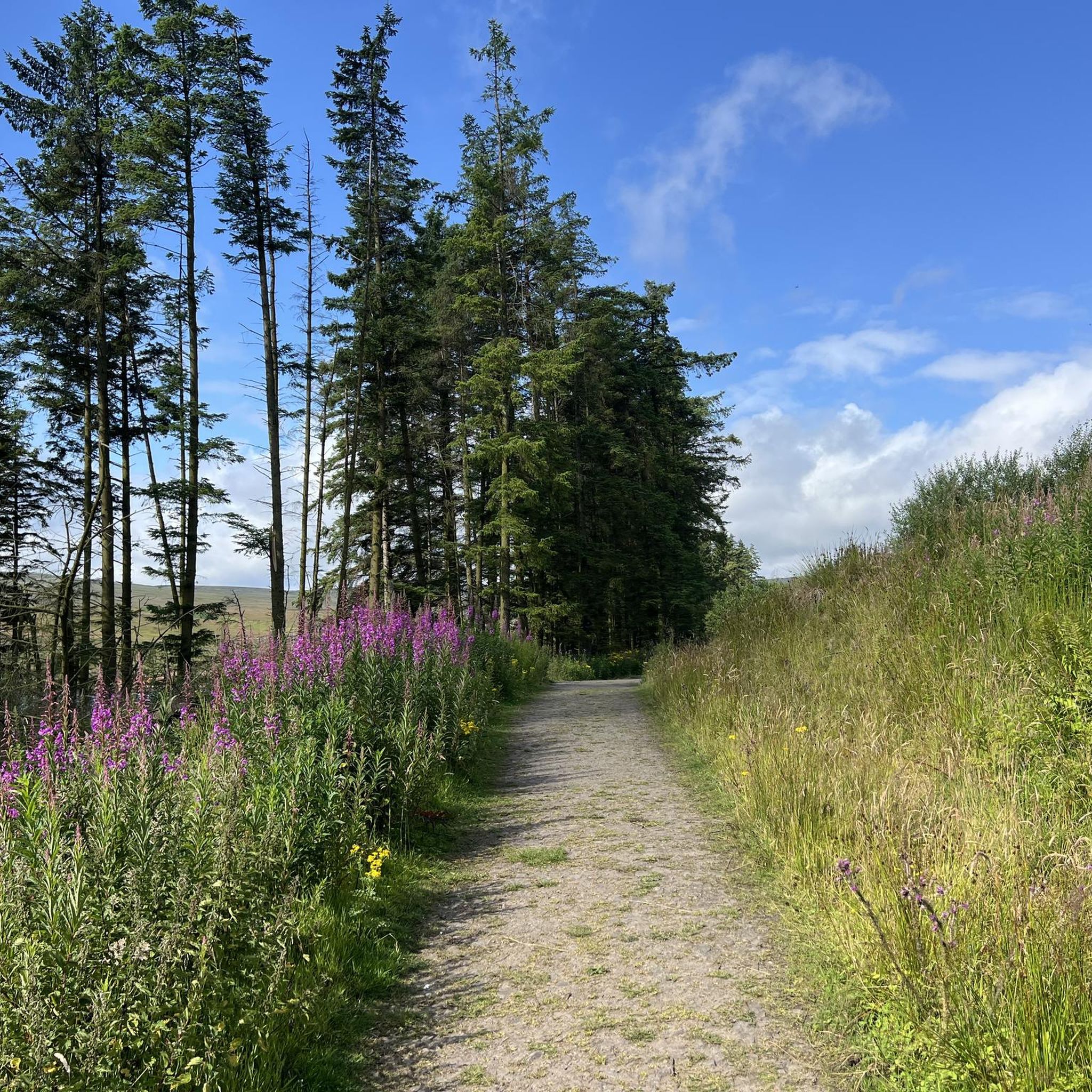
Jogging around Burnhope Reservoir offers a diverse experience through open moorland, tranquil lakeside paths, and varied woodland trails. The reservoir is situated in a bowl, providing expansive views of the surrounding natural landscape. Routes often combine sections along the water's edge with paths through the higher moorland, catering to different preferences. The terrain includes well-maintained paths, some stony sections, and occasional muddy stretches.
Best jogging routes around Burnhope Reservoir
- The most popular jogging route is Burnhope Reservoir – Burnhope Reservoir…
Last updated: May 17, 2026
2
runners
13.8km
01:47
380m
370m
Hard run. Very good fitness required. Mostly paved surfaces. Suitable for all skill levels.
5
runners
9.33km
01:03
100m
100m
Moderate run. Good fitness required. Mostly paved surfaces. Suitable for all skill levels.

Sign up for free
3
runners
10.8km
01:18
280m
280m
Moderate run. Good fitness required. Mostly paved surfaces. Suitable for all skill levels.
3
runners
8.77km
00:59
120m
110m
Moderate run. Good fitness required. Mostly paved surfaces. Suitable for all skill levels.
3
runners
17.8km
02:14
490m
490m
Hard run. Very good fitness required. Mostly paved surfaces. Suitable for all skill levels.
Get access to more routes and recommendations from other explorers.
Sign up for free
Already have an account?
Our route recommendations are based on thousands of hikes, rides, and runs completed by other people on komoot.
Start today with a free account
Your next adventure awaits.
Login or Signup
Tips from the Community


Nice section of the weardale way, lots of wild raspberries.
0
0


Burnhope Reservoir is a popular spot for hikers and dog walkers. It's a nice scenic spot with a variety of walks on either side of the reservoir, and there are parking spots at both ends of the dam. There are lovely rest spots with benches on the north side; I don't know regarding the southern side.
0
0

From this stone bridge with two arches, you can cross Killhope Burn in the village of Cowshill. If you look closely, very near the bridge, the burn forms a small and beautiful waterfall. Although if you observe it from the bridge, you see it from behind, there are several points around from which you can view the waterfall face-on.
1
0

High up in Weardale, Wearhead is where the Burnhope Burn and Killhope Burn merge to form the River Wear, one of the North East's great rivers. The surrounding countryside is sumptuous walking territory, right in the beating heart of the North Pennines Area of Outstanding Natural Beauty. To the west of the village is Burnhope Reservoir, which makes for a lovely loop. Meanwhile, some of the highest land in County Durham is within hiking distance, including county high point Burnhope Seat at 2,451 feet (747 m).
0
0
The construction of the dam was completed in 1937, and where the village of Burnhope once stood, it is now submerged under the water. You can enjoy a peaceful walk along the path that surrounds the reservoir, enjoying the tranquility and finding some spots where you can have a break or a snack.
2
0
Frequently Asked Questions
How many running routes are available around Burnhope Reservoir?
There are 19 running routes around Burnhope Reservoir, offering a variety of experiences for different fitness levels. These include easy loops, moderate paths, and more challenging runs with significant elevation gain.
What kind of terrain can I expect on the running trails at Burnhope Reservoir?
The terrain around Burnhope Reservoir is quite varied. You'll find paths along the tranquil lakeside, through open moorland offering expansive views, and within woodland trails. While many paths are well-maintained, some sections can be stony or a bit muddy, so appropriate footwear is recommended.
Are there easy or beginner-friendly running routes at Burnhope Reservoir?
Yes, Burnhope Reservoir offers several easy routes perfect for beginners or those looking for a gentle run. For example, the Burnhope Reservoir – Burnhope Reservoir loop from Wearhead is an easy 2.6-mile (4.3 km) trail that provides a pleasant circular path around the reservoir.
What are some notable natural features or landmarks to see while running?
While running, you can enjoy the expansive views of the open moorland and the peaceful lakeside scenery. Near the village of Cowshill, you might spot the beautiful Killhope Burn Waterfall. The area is also rich in wildlife, including lapwings, whooper swans, and barn owls, making it a great spot for nature observation.
Are the running routes at Burnhope Reservoir suitable for families or those with dogs?
Yes, Burnhope Reservoir is generally family-friendly, with easy circular routes suitable for all abilities. Many trails are also dog-friendly, but please ensure dogs are kept under control, especially in areas with wildlife or livestock. The varied terrain means there are options for different family needs.
Are there circular running routes available?
Absolutely. Many of the running routes around Burnhope Reservoir are circular, allowing you to start and end at the same point. A popular moderate option is the Burnhope Reservoir and Wearhead loop from Cowshill, which combines lakeside sections with moorland trails.
What is the best time of year to go running at Burnhope Reservoir?
Burnhope Reservoir offers a great running experience year-round. Spring and summer provide lush scenery and longer daylight hours. Autumn brings beautiful colours to the landscape. Even in winter, the trails can be enjoyed, though some sections might be muddy or stony, so checking conditions beforehand is advisable.
Is there parking available near the running trails?
Yes, there are parking facilities available, making it convenient to access the running routes. Specific parking areas are usually signposted near the reservoir, particularly on the north side where picnic spots are also located.
Are there any cafes or pubs nearby for refreshments after a run?
While Burnhope Reservoir itself is a tranquil, natural setting, you can find cafes and pubs in nearby villages such as Wearhead or Stanhope. These offer opportunities for refreshments and a bite to eat after your run.
What do other runners enjoy most about jogging in Burnhope Reservoir?
The running routes at Burnhope Reservoir are highly rated by the komoot community, with an average score of 4.0 stars. Runners often praise the peaceful and quiet setting, the diverse scenery ranging from open moorland to woodland, and the variety of routes suitable for different fitness levels.
Are there any challenging running routes with significant elevation gain?
Yes, for those seeking a more challenging run, Burnhope Reservoir offers routes with significant elevation gains. For instance, the Burnhope Reservoir loop from Wearhead is a difficult 8.5-mile (13.7 km) trail with over 370 meters of ascent, catering to runners with a very good fitness level.
Can I reach Burnhope Reservoir by public transport?
While the area is quite rural, some public transport options may serve nearby villages. However, direct access to the reservoir's trailheads via public transport might be limited. It's advisable to check local bus routes and schedules to plan your journey accordingly.
Most popular routes around Burnhope Reservoir

Get inspired with the komoot mobile app


Explore more
Browse the best Running Trails & Routes in other regions.
