The best cycling routes around Burnhope Reservoir
4.8
(16)
288
riders
31
rides
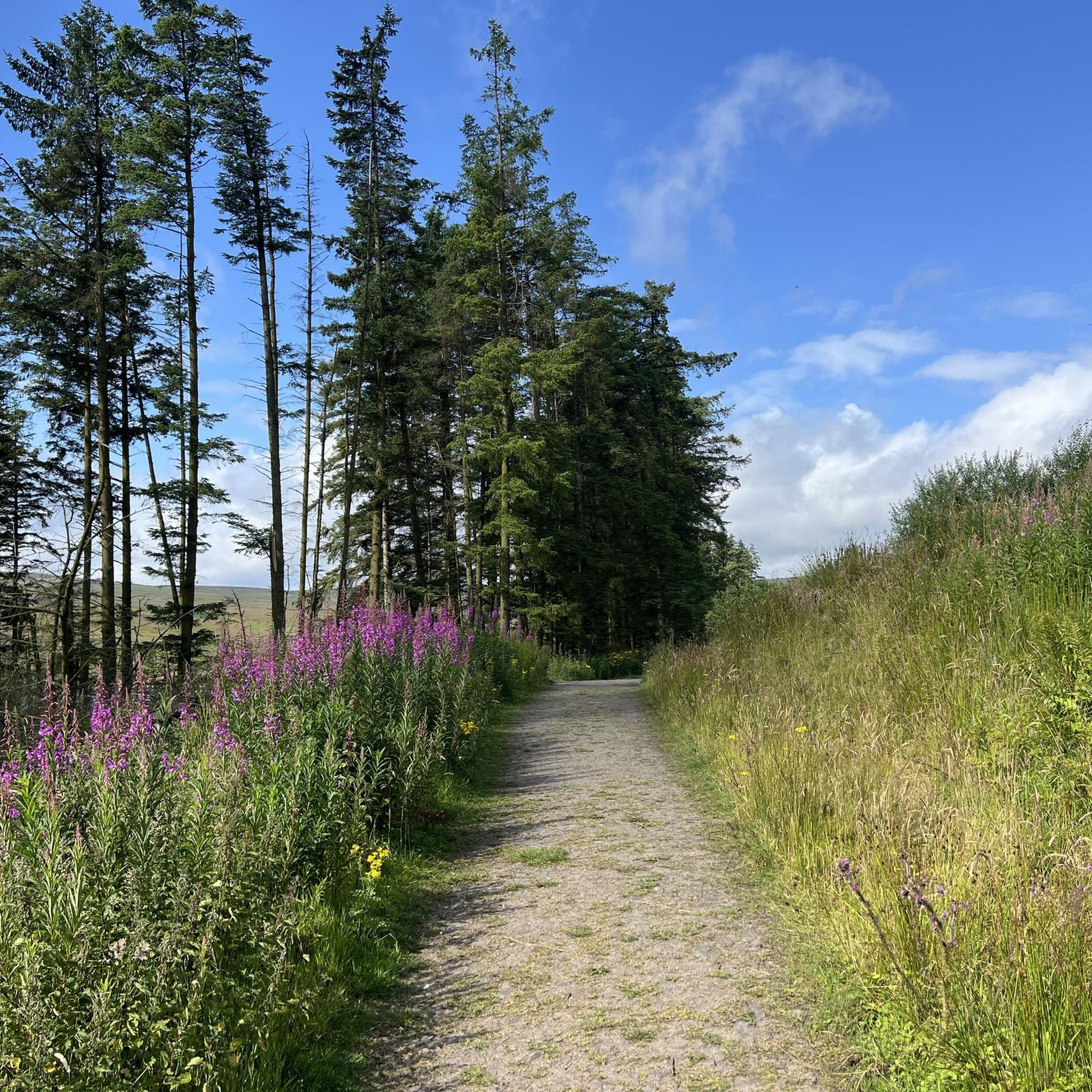
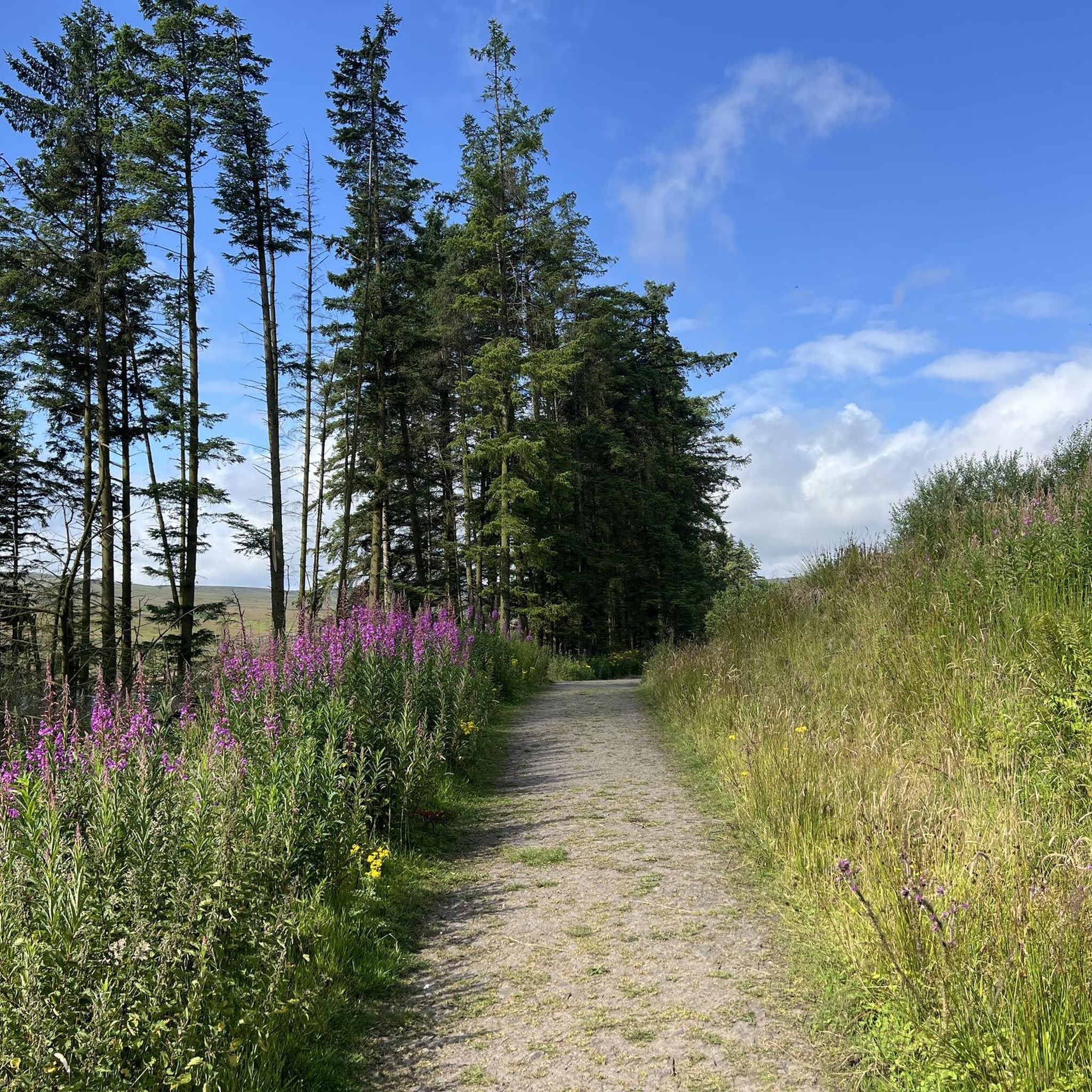
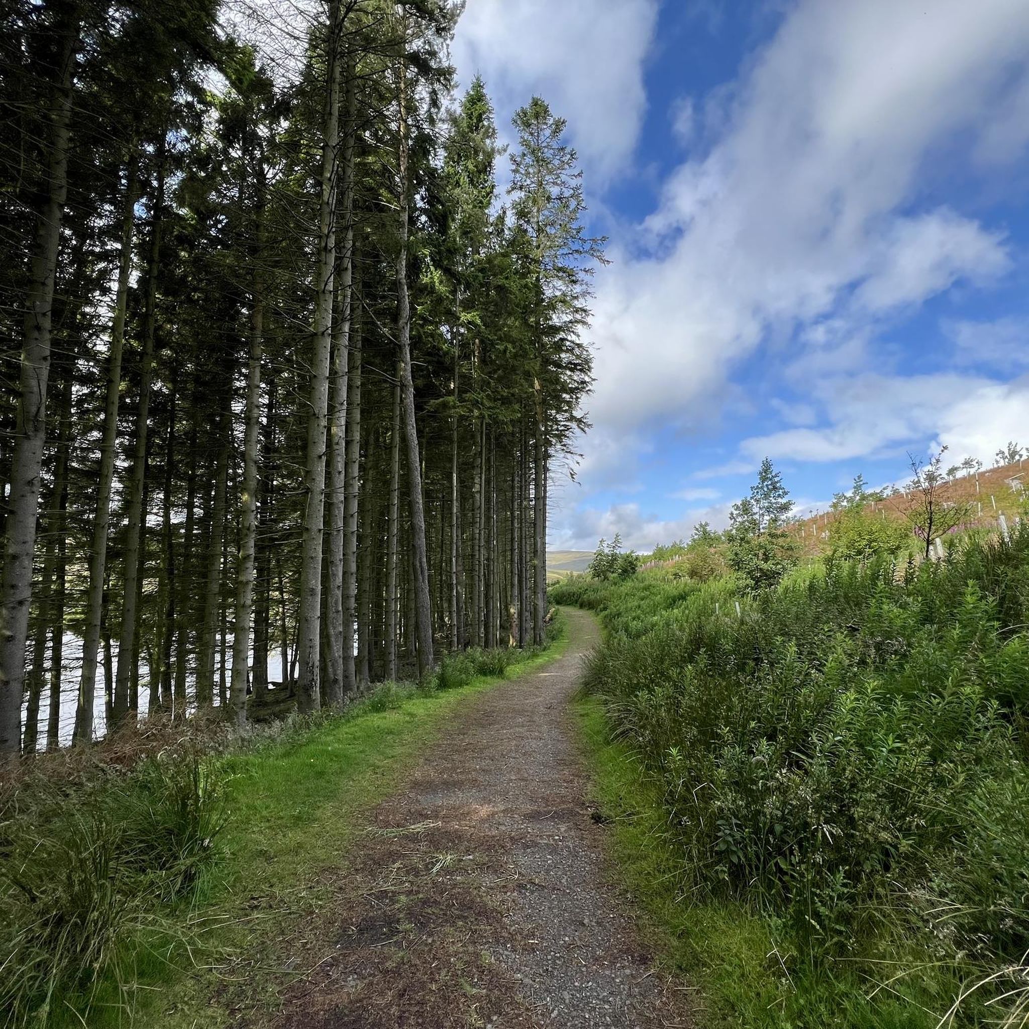
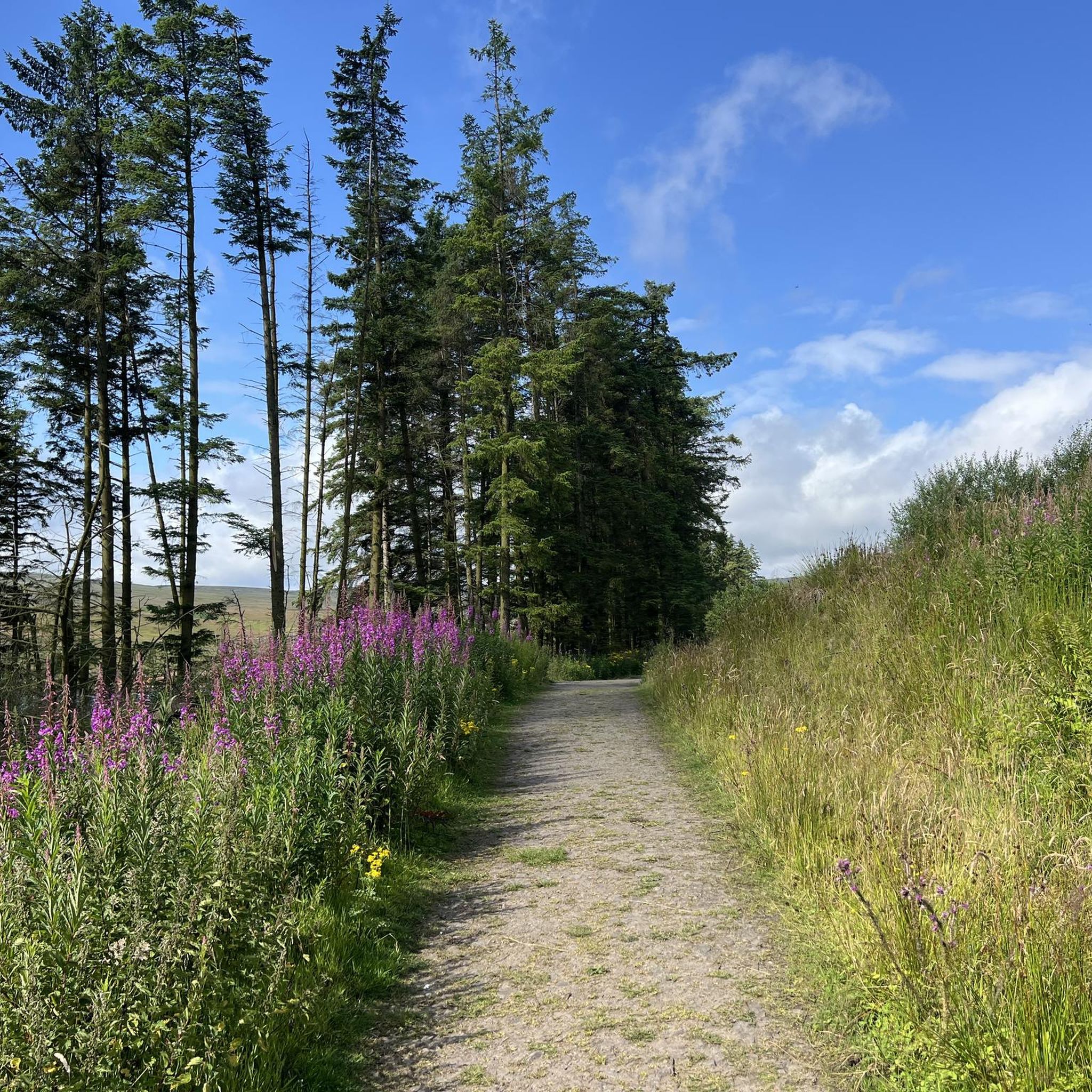
Touring cycling routes around Burnhope Reservoir are situated within the North Pennines National Landscape, characterized by open moorlands, peaceful woodlands, and upland rivers. The reservoir itself was formed by an earth embankment dam, contributing to a landscape with varied terrain. The area offers a mix of paved and unpaved segments, with routes featuring significant elevation gains.
Best touring cycling routes around Burnhope Reservoir
- The most popular touring cycling route is The Lord Crewe Arms & Gardens – Rookhope Arch loop…
Last updated: May 16, 2026
18
riders
73.4km
05:03
1,280m
1,280m
Hard bike ride. Very good fitness required. Mostly paved surfaces. Suitable for all skill levels.
14
riders
128km
08:32
1,950m
1,950m
Hard bike ride. Very good fitness required. Mostly paved surfaces. Suitable for all skill levels.

Sign up for free
11
riders
49.2km
03:27
970m
970m
Hard bike ride. Very good fitness required. Mostly paved surfaces. Suitable for all skill levels.
5.0
(1)
8
riders
66.4km
04:30
1,120m
1,120m
Hard bike ride. Very good fitness required. Mostly paved surfaces. Suitable for all skill levels.
6
riders
29.0km
02:16
800m
800m
Hard bike ride. Very good fitness required. Mostly paved surfaces. Suitable for all skill levels.
Get access to more routes and recommendations from other explorers.
Sign up for free
Already have an account?
Our route recommendations are based on thousands of hikes, rides, and runs completed by other people on komoot.
Start today with a free account
Your next adventure awaits.
Login or Signup
Tips from the Community


Hydraulic engine powered by water, the last existing one in the world
0
0
To Coalcleugh
0
0

Hartside Cross is the summit of the A686 between Penrith and Alston. It reaches 1,886 feet (575m) with great views because of the scrubby moorland.
0
0

Rookhope is really interesting- but slowly dying. The arch is almost emblematic of that.
0
0

There is little of the old mine itself, other than the narrow entrance to the mine shaft. Easy to confuse with a well, but the information board prevents that.
1
0

The Lord Crewe Arms is a medieval hotel dating back from 1165. It contains hidden stairways and stone flagged floors as it was used as a hiding hole by monks of nearby Blanchland Abbey. It's named after Lord Crewe, the Bishop of Durham and is said to be haunted by the ghost of his sister, Dorothy Foster. It's now both a pub and hotel, offering a historical experience in a remote setting.
1
0
Frequently Asked Questions
How many touring cycling routes are available around Burnhope Reservoir?
There are over 30 touring cycling routes around Burnhope Reservoir, offering a variety of experiences within the North Pennines National Landscape. The komoot community has contributed to and explored these routes extensively.
What kind of terrain can I expect on touring cycling routes around Burnhope Reservoir?
The terrain around Burnhope Reservoir is varied, featuring both paved and unpaved segments. You'll encounter open moorlands, peaceful woodlands, and upland rivers. Many routes include significant elevation gains, characteristic of the North Pennines landscape.
Are there any easy or family-friendly touring cycling routes in the area?
While most touring cycling routes around Burnhope Reservoir are considered difficult due to significant elevation, there are 5 moderate routes available. These might be more suitable for families or those seeking a less strenuous ride, though they still require a reasonable level of fitness.
What are some of the most challenging touring cycling routes around Burnhope Reservoir?
For experienced touring cyclists seeking a challenge, routes like the Hartside Summit – Hartside Summit Viewpoint loop from Wearhead stand out. This extensive 79.3-mile (127.7 km) path includes nearly 6,400 feet (1,949 m) of climbing, offering expansive views and a demanding ride.
What natural attractions or points of interest can I see along the touring cycling routes?
The routes offer stunning views of the North Pennines National Landscape, characterized by open moorlands and peaceful woodlands. You might spot diverse wildlife, including lapwings, whooper swans, and even deer. For a truly unique experience, Burnhope Reservoir is also a recognized Dark Sky Discovery Site, perfect for stargazing after your ride.
Are there any notable waterfalls or historical sites near the cycling routes?
Yes, for those interested in extending their trip, High Force Waterfall, one of England's most impressive waterfalls, is about 7 miles away. You can also explore the Nenthead Mining Heritage Centre a few miles northwest, which provides insight into the region's lead and zinc mining history.
What do other touring cyclists say about the routes around Burnhope Reservoir?
The touring cycling routes around Burnhope Reservoir are highly rated by the komoot community, with an average score of 4.8 stars from over 15 reviews. Cyclists often praise the peaceful and scenic environment, the challenging climbs, and the opportunity to immerse themselves in nature.
Are there any circular touring cycling routes available?
Yes, many of the routes are designed as loops, allowing you to start and finish at the same point. An example is the Lord Crewe Arms & Gardens – Rookhope Arch loop from Wearhead, a 45.6-mile (73.4 km) trail that takes you through the scenic landscape.
Is there parking available for cyclists at Burnhope Reservoir?
While specific parking areas for cyclists are not detailed, the area around Burnhope Reservoir is generally accessible. It's advisable to check local signage or online maps for designated parking spots near common starting points for routes, such as Wearhead or Lanehead.
Can I find cafes or pubs near the touring cycling routes?
The region around Burnhope Reservoir is rural, but there are options for refreshments. You may find cafes or pubs in nearby villages like Wearhead or Blanchland, which are often incorporated into longer cycling loops. It's recommended to plan your stops in advance.
What is the best time of year to go touring cycling around Burnhope Reservoir?
The area is beautiful year-round, but spring and summer offer the most favorable conditions with milder weather and longer daylight hours, making it ideal for enjoying the open moorlands and scenic views. Autumn also provides stunning landscapes with changing foliage.
What are the winter cycling conditions like around Burnhope Reservoir?
Winter cycling around Burnhope Reservoir can be challenging. The North Pennines can experience cold temperatures, snow, and ice, especially on higher elevations and exposed moorlands. Some unpaved segments may become muddy or impassable. Cyclists should be prepared for adverse weather and shorter daylight hours.
Are there any touring cycling routes that explore the historic mining landscape?
Yes, routes like the Gin Hill Mine Shaft – Allenheads Information Board loop from Wearhead take you through the historic mining landscape of the North Pennines, offering a glimpse into the region's industrial past alongside natural beauty.
Most popular routes around Burnhope Reservoir

Get inspired with the komoot mobile app


Explore more
Browse the best Cycling routes in other regions.
