The best road cycling routes around Wast Water
4.0
(2)
343
riders
24
rides
Road cycling routes around Wast Water traverse a landscape characterized by England's deepest lake, flanked by high mountains and dramatic screes. The region offers quiet roads with significant elevation changes, providing a challenging environment for road cyclists. This area features glacial valleys, imposing fells, and the unique geological formation of the Wastwater Screes, which plunge directly into the lake.
Best road cycling routes around Wast Water
- The most popular road cycling route is Wast Water – View of Wast Water…
Last updated: September 29, 2026
35
riders
60.9km
02:50
610m
610m
Moderate road ride. Good fitness required. Some segments of this route may be unpaved and difficult to ride.
27
riders
19.9km
00:56
240m
250m
Easy road ride. Great for any fitness level. Mostly well-paved surfaces and easy to ride.

37
riders
34.1km
01:52
700m
700m
Moderate road ride. Good fitness required. Mostly well-paved surfaces and easy to ride.
24
riders
76.1km
04:21
1,720m
1,720m
Hard road ride. Very good fitness required. Mostly well-paved surfaces and easy to ride.
29
riders
29.2km
01:22
380m
380m
Moderate road ride. Good fitness required. Mostly well-paved surfaces and easy to ride.
Get access to more routes and recommendations from other explorers.
Already have an account?
Our route recommendations are based on thousands of hikes, rides, and runs completed by other people on komoot.
Start today with a free account
Your next adventure awaits.

Tips from the Community

Blea Tarn, a small mountain lake in a valley between Little Langdale and Great Langdale, offers a wide variety of photographic opportunities.
7
0

It’s a hard ride up if you’re not used to it, but it’s worth it to THUNDER down the other side 👍🤣
0
0

If heading north along the coast towards Sellafield follow the track on the seaward side of the railway all the way up to the Calder, then it's a loop under the railway and over the River
0
0


Hardknott Pass from Beckfoot is one of the UK's toughest road climbs, with an average gradient of 13% and brutal ramps reaching 33%. The narrow, single-track road winds through stunning Lake District scenery, with rough tarmac, gravel patches, and drainage channels adding to the challenge.
0
0
Lovely quiet road, pretty good surface
0
0

Nice road with incredible views, although at times the road may be covered by small streams, go slower on those as they can be slippery
0
0
Frequently Asked Questions
What is the general difficulty level of road cycling routes around Wast Water?
Wast Water offers a diverse range of road cycling routes. You'll find 7 easy routes, 14 moderate routes, and 4 challenging routes, catering to various fitness levels. The region is known for its quiet roads and significant elevation changes, including some steep climbs.
What do other road cyclists say about the routes in Wast Water?
The road cycling routes around Wast Water are highly regarded by the komoot community, holding an average score of 4.5 stars from over 3 reviews. Cyclists often praise the dramatic mountain scenery, the unique geological features like the Wastwater Screes, and the rewarding challenges presented by the climbs.
Are there any challenging climbs for experienced road cyclists in the Wast Water area?
Yes, the Lake District, including the Wast Water area, is renowned for its steep and demanding climbs. Routes like the Hardknott Pass Climb – Hardknott Pass Hairpin Bends loop from St Michael and All Angels feature significant elevation. The region's terrain includes gradients reaching 25% or even 30%, with Red Bank being a notable steep and rewarding hill climb mentioned in regional research.
What natural features and viewpoints can I expect to see while road cycling around Wast Water?
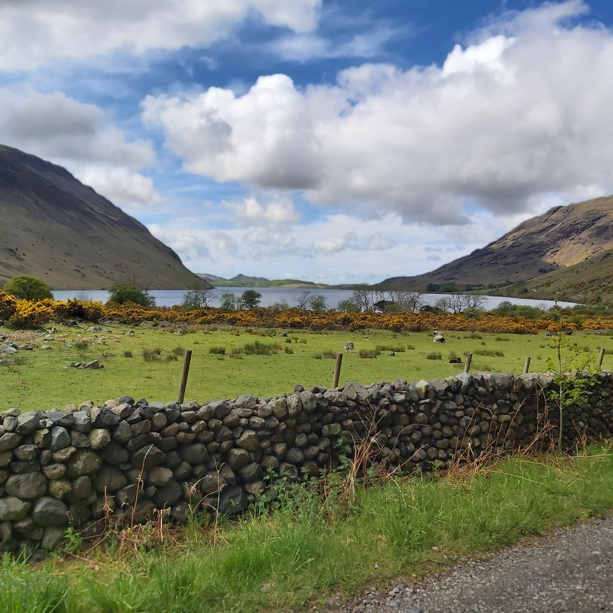
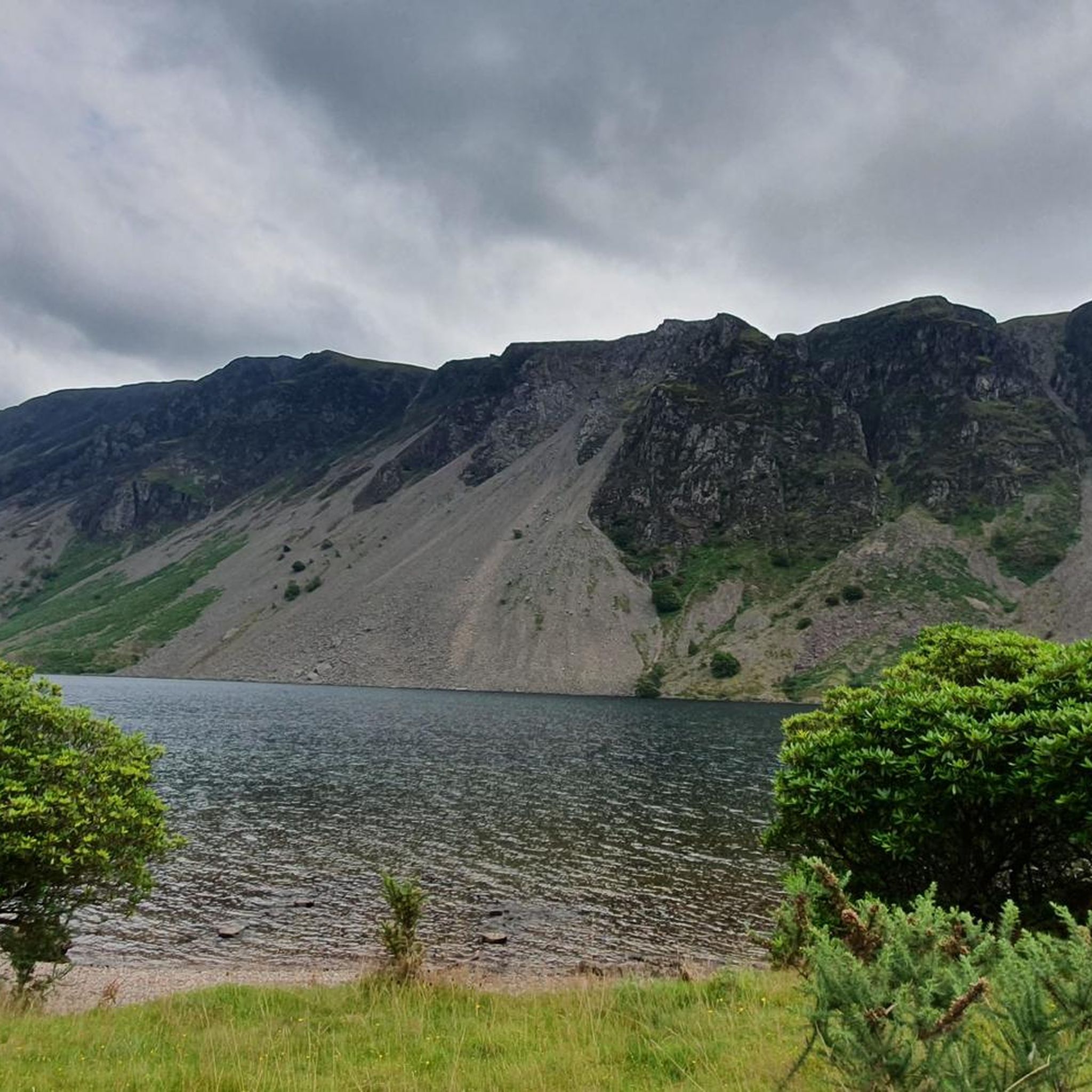
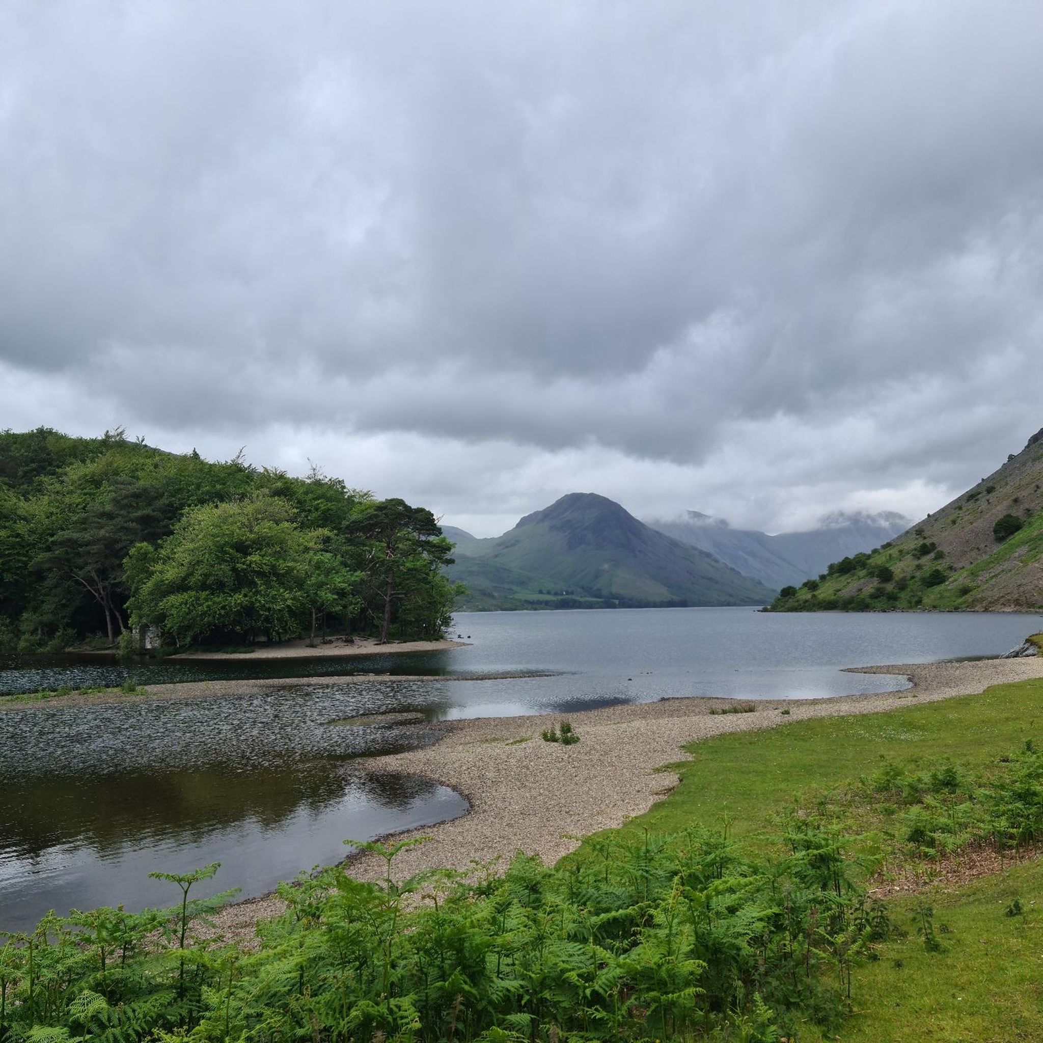
Road cycling around Wast Water offers breathtaking views of England's deepest lake, flanked by imposing mountains like Scafell Pike, Great Gable, and Yewbarrow. You'll encounter the dramatic Wastwater Screes, where millions of rock fragments plunge into the lake. The iconic vista from the southwestern end of Wast Water, framing Yewbarrow, Great Gable, and Scafell Pike, was even voted 'Britain's Favourite View'.
Are there any circular road cycling routes around Wast Water?
Yes, there are several circular routes that allow you to experience the beauty of Wast Water. For instance, the Wast Water – View of Wast Water loop from Wasdale is a longer option, while the The Mill Café – View of Wast Water loop from Wast Water offers an easier, waterside circular experience.
Where can I find places to eat or drink near the road cycling routes?
The Wast Water area has a few notable spots for refreshments. The legendary Wasdale Head Inn, often called the birthplace of British climbing, offers hearty meals and real ales. Additionally, The Sawmill Café, a 'hidden gem' near Wasdale, provides a perfect post-ride stop with good food in a unique riverside setting.
Is it possible to find family-friendly road cycling routes around Wast Water?
While many routes in Wast Water feature significant climbs, there are easier options suitable for families. The The Mill Café – View of Wast Water loop from Wast Water is an easy 12.3-mile path that provides a pleasant waterside cycling experience with views of the lake and its dramatic backdrop, making it a good choice for families.
What is the best season for road cycling around Wast Water?
The Lake District's weather can be unpredictable, but late spring to early autumn (May to September) generally offers the most favorable conditions for road cycling around Wast Water, with milder temperatures and longer daylight hours. However, the dramatic landscapes are stunning in any season, provided you are prepared for potential rain or cooler weather.
Are there specific regulations or permits required for road cycling in the Lake District National Park?
Generally, road cycling on public roads within the Lake District National Park, including around Wast Water, does not require specific permits. However, cyclists are expected to adhere to the Highway Code and respect the local environment. Always be mindful of other road users and the narrow, winding nature of some roads in the area.
How long does it typically take to cycle around Wast Water by road bike?
The time it takes to cycle around Wast Water varies depending on the specific route and your pace. An easier loop like the The Mill Café – View of Wast Water loop from Wast Water, which is about 12.3 miles (19.8 km), can be completed in approximately 1 hour. Longer routes, such as the Wast Water – View of Wast Water loop from Wasdale (37.9 miles or 60.9 km), typically take around 2 hours 50 minutes.
Is public transport available to reach the Wast Water cycling routes?
Wast Water is located in a remote part of the Lake District. While there are some bus services in the wider Lake District National Park, direct public transport options to the immediate vicinity of Wast Water are limited. It's advisable to check local bus timetables for the western Lake District or consider driving to a starting point with parking.
Where can I park my car when planning a road cycling trip to Wast Water?
Parking is available at various points around Wast Water, particularly near popular starting points for routes. The single-track road leading into Wasdale from the A595 at Gosforth offers access, and there are usually designated parking areas near Wasdale Head or other access points to the lake. Always check for official parking facilities and any associated fees.
Most popular routes around Wast Water
Most popular attractions around Wast Water

Get inspired with the komoot mobile app


Explore more
Browse the best Road cycling routes in other regions.
