The best running trails around Elter Water
4.4
(187)
20,474
runners
601
runs
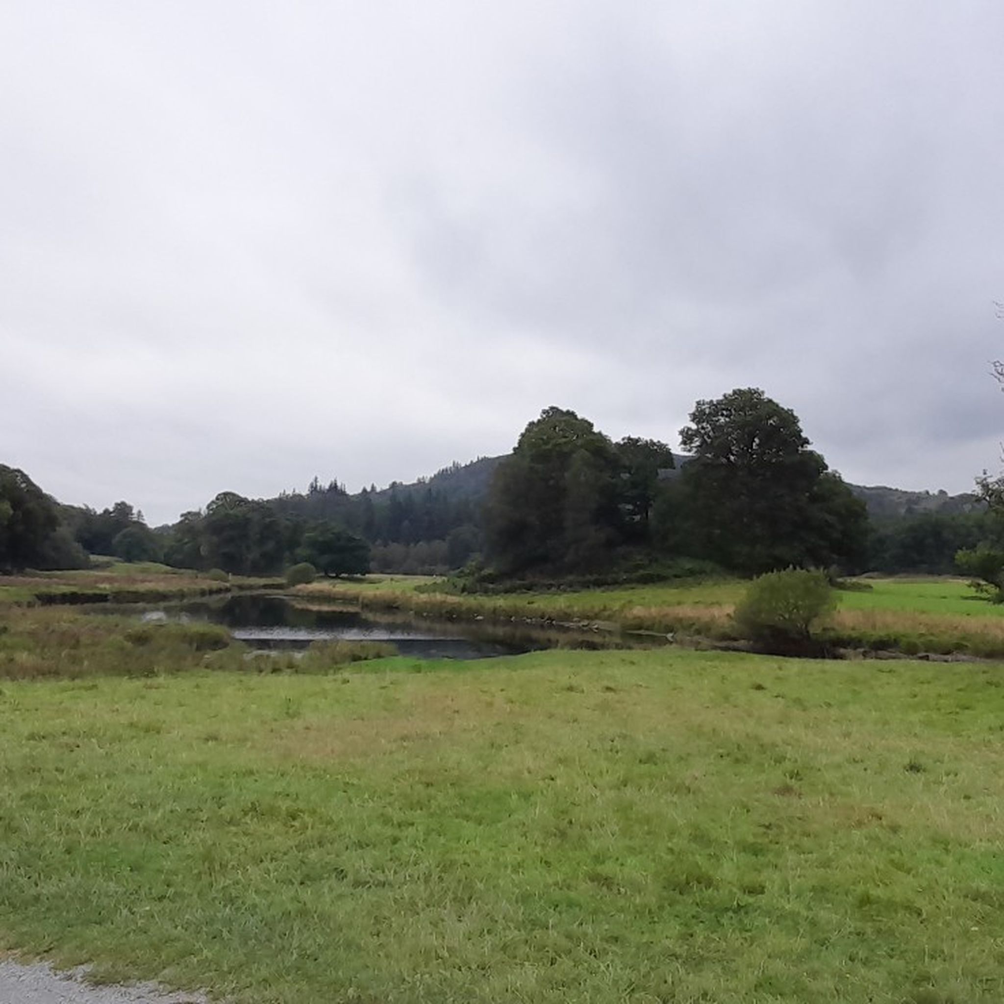
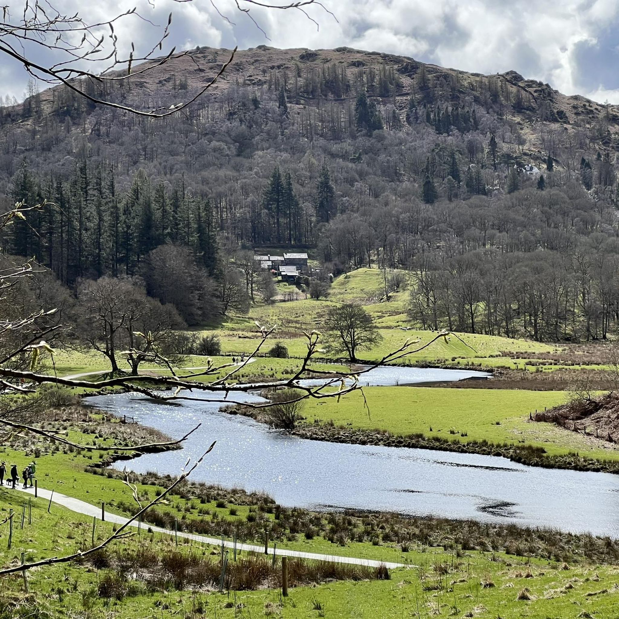
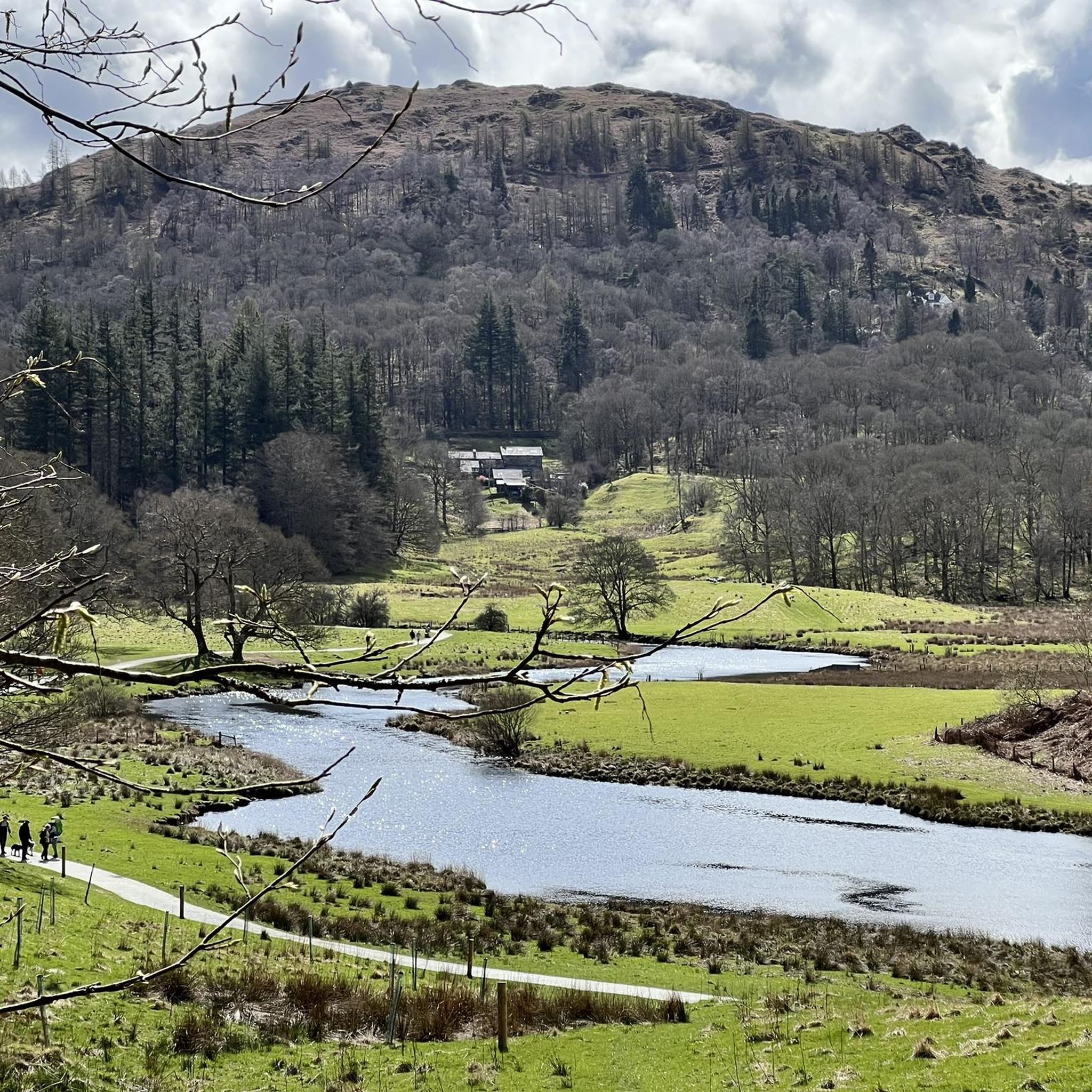
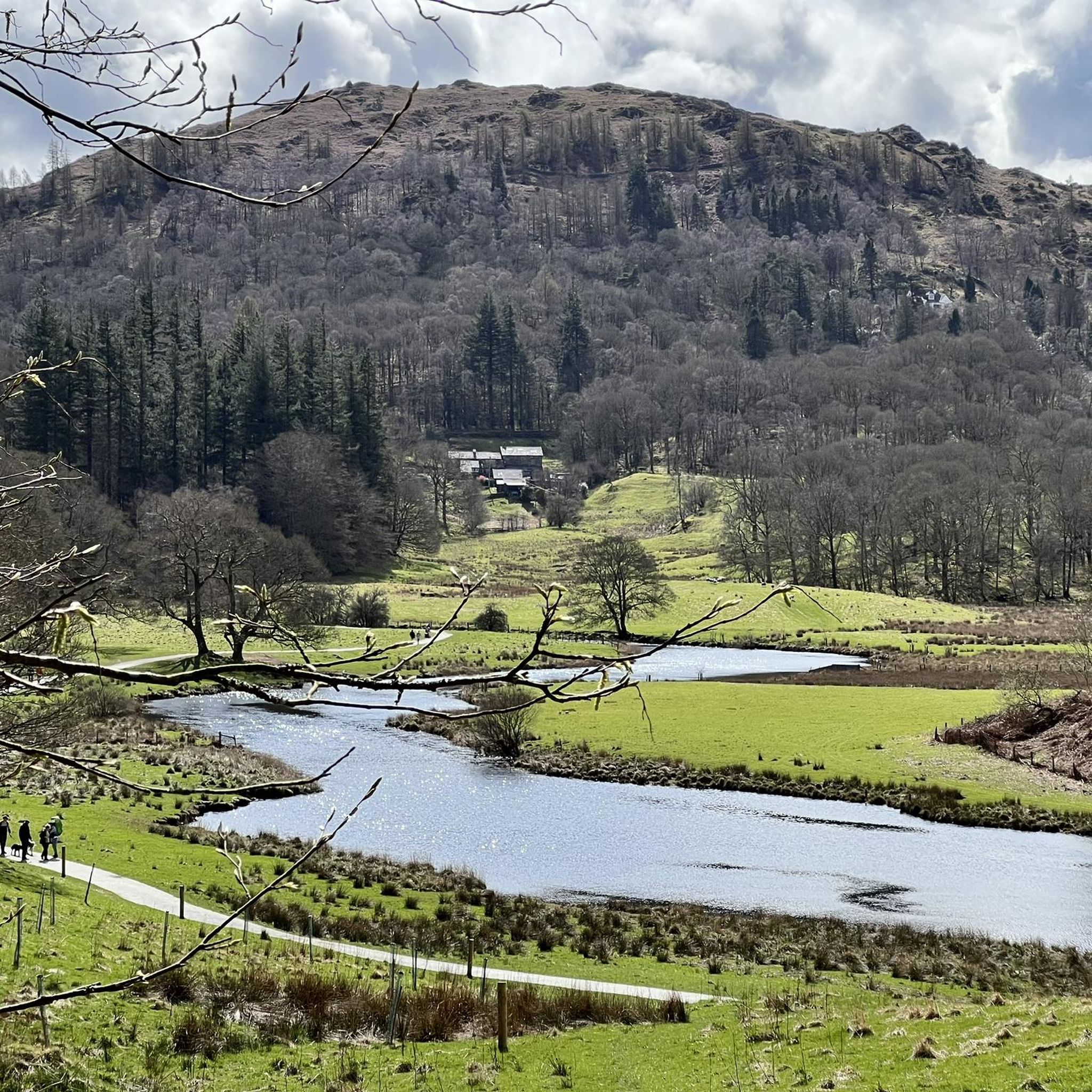
Jogging around Elter Water offers routes through the Great Langdale Valley, characterized by its calm lake waters, meandering rivers, and surrounding fells. The terrain varies from relatively flat paths along the River Brathay to more challenging ascents into the wooded fells. This region provides a diverse landscape for running, including views of the Langdale Pikes and tranquil woodlands.
Best jogging routes around Elter Water
- The most popular jogging route is Elterwater Lake – Elter Water loop from Skelwith, a…
Last updated: July 5, 2026
5.0
(1)
225
runners
10.9km
01:17
290m
290m
Moderate run. Good fitness required. Mostly paved surfaces. Suitable for all skill levels.
67
runners
20.7km
03:33
1,410m
1,410m
Hard run. Very good fitness required. Sure-footedness, sturdy shoes and alpine experience required.

Sign up for free
4.0
(1)
29
runners
9.29km
01:02
140m
140m
Moderate run. Good fitness required. Mostly paved surfaces. Suitable for all skill levels.
26
runners
5.21km
00:49
310m
310m
Hard run. Very good fitness required. Mostly paved surfaces. Suitable for all skill levels.
22
runners
5.96km
00:54
310m
310m
Hard run. Very good fitness required. Mostly paved surfaces. Suitable for all skill levels.
Get access to more routes and recommendations from other explorers.
Sign up for free
Already have an account?
Our route recommendations are based on thousands of hikes, rides, and runs completed by other people on komoot.
Start today with a free account
Your next adventure awaits.
Login or Signup


Tips from the Community

Little Langdale Tarn lies at the foot of the Wrynose Pass and although there is no public access, it is easily visible from the road or from the public bridleway along the southern shore. (Visit Cumbria)
8
0
A picturesque very old bridge over the river Brathay. This is one of the old footbridges of the Lake District, connecting the hamlet of Little Langdale with the many slate quarries in the Tilberthwaite area, including Cathedral Quarry and Hodge Close Quarry. (Visit Cumbria)
9
0

Pike of Blisco is a brilliant peak. It's got a craggy, rugged 705-metre summit and has commanding views down over the Langdale Valley. I came up from the Old Dungeon Ghyll Hotel, up the famous steps, but you can also get to it from Wrynose Pass. It has a little summit cairn on the craggy mounds at the top.
0
0
In Elterwater and its surroundings, it is good for cycling. There are cycle routes through the village, including to Ambleside and Coniston.
8
0
Very much one of the iconic mountains of the Lake District, Wetherlam is a rugged 763-metre (2,502 ft) mountain top, and getting here is pretty hard work from any direction. It has a rocky summit plateau, and the views across towards the Coniston group are super nice. Now for the big decent!
0
0
Coming to Swirl How from Great Carr is an easy affair; getting to it from Wetherlam is a different matter. If you come in from that direction, you are in for a good scramble on the 'Prison Band' section of the approach. To be honest, I would rather come up it than down it, as it looked like a fun scramble. There is a decent cairn on the top of Swirl How, and the views across to Wetherlam are great.
0
0
Silver How is a 395-metre (1,296 ft) Wainwright is easily accessed from Grasmere village. The hike up from there is particularly nice, and it's quite a steady ascent. There are great views of Grasmere and Rydal Water from its cairned summit. You can either do an up-and-back hike or continue round to do a loop up around Blea Rigg.
0
0

Slater's Bridge is a historic 17th-century packhorse bridge located in Little Langdale, within the Lake District National Park in Cumbria, England. It is renowned as one of the most picturesque pedestrian crossings in the region, built entirely from locally sourced
2
0
Frequently Asked Questions
How many running routes are available around Elter Water?
There are over 600 running routes in the Elter Water area, catering to various fitness levels. You'll find a wide selection, including approximately 40 easy routes, over 220 moderate trails, and more than 340 challenging runs, ensuring options for every runner.
Are there any circular jogging routes around Elter Water?
Yes, the area offers several excellent circular jogging routes. A popular choice is the Elterwater Lake – Elter Water loop from Skelwith, a moderate 3.2-mile (5.1 km) trail that provides scenic views around the lake. Another noted option is a 9 km circular route that starts in Elterwater, follows the Great Langdale Beck, and winds through woodlands and fields with stunning fell views.
What natural features or landmarks can I see while running near Elter Water?
Jogging routes around Elter Water offer a wealth of natural beauty and historical landmarks. You can expect to see the tranquil Elter Water lake itself, the dramatic Langdale Pikes in the background, and the meandering River Brathay. Notable waterfalls like Skelwith Force and the more substantial Colwith Force are often along routes. Historical points of interest include the unique Cathedral Quarry/Cavern and the picturesque Slater's Bridge, a historic stone crossing over the River Brathay.
Are there any family-friendly running trails in the Elter Water area?
Yes, Elter Water offers several paths suitable for families. Many routes are well-maintained and relatively flat, such as the gentle 2.5-mile circular route from Elterwater village to Skelwith Bridge, which follows the River Brathay. These paths are ideal for a relaxed jog or brisk walk, and some are accessible for strollers, making them perfect for a family outing.
What do other runners enjoy most about the trails around Elter Water?
The running trails around Elter Water are highly rated by the komoot community, with an average score of 4.5 stars from over 170 reviews. Runners frequently praise the diverse landscape, from calm lake waters and meandering rivers to wooded fells and stunning views of the Langdale Pikes. The variety of terrain, suitable for different ability levels, is also a key highlight.
Are dogs allowed on the running routes near Elter Water?
Many trails in the Lake District National Park, including those around Elter Water, are dog-friendly. However, it's always recommended to keep dogs on a lead, especially near livestock or during ground-nesting bird seasons, to protect wildlife and farm animals. Please ensure you follow the Countryside Code.
Are there any routes that pass by waterfalls?
Absolutely! The Skelwith Force – River Brathay loop from Lakes is a 5.7-mile (9.2 km) trail that leads through river valleys and directly past the impressive Skelwith Force waterfall. This 16-foot drop is particularly spectacular after heavy rainfall. The larger Colwith Force, cascading 55 feet, is also accessible in the wider area.
What is the best time of year to go running in Elter Water?
Elter Water offers beautiful running conditions year-round, but each season has its charm. Spring and autumn provide pleasant temperatures and vibrant scenery, with fewer crowds. Summer is popular, but trails can be busier. Winter running can be magical with snow-dusted fells, though some higher or less maintained paths might be challenging due to ice or mud. Always check local weather conditions before heading out.
Are there any cafes or amenities along the running routes?
Yes, some routes offer convenient stops. For example, along certain paths, you might find the charming self-service Muddy Boots Café, which provides a welcome break and refreshments. The villages of Elterwater and Skelwith Bridge also offer amenities such as pubs and small shops.
How challenging are the running routes in Elter Water?
The routes around Elter Water offer a good mix of challenges. You can find relatively flat paths along the River Brathay and around the lake, perfect for an easy jog. For more experienced runners, there are challenging ascents into the wooded fells and even opportunities to scale iconic peaks like the Langdale Pikes, offering significant elevation gain. The View of Rydal Water – Rydal Water Beach loop from Skelwith is a moderate 6.8-mile (10.9 km) path connecting Elter Water with Rydal Water, providing varied lake and riverside scenery.
Where can I park for the Elter Water running trails?
Parking is available in and around the villages of Elterwater and Skelwith Bridge, which serve as common starting points for many trails. Specific car parks are usually signposted. It's advisable to arrive early during peak seasons, as spaces can fill up quickly. Always check for any parking fees or restrictions.
Can I reach the running trails by public transport?
Yes, Elter Water is accessible by public transport, primarily bus services that connect the villages within the Great Langdale Valley to larger towns like Ambleside and Windermere. From these villages, many running trails are within easy walking distance. Checking local bus timetables is recommended for planning your journey.
Most popular routes around Elter Water

Get inspired with the komoot mobile app


Explore more
Browse the best Running Trails & Routes in other regions.
