The best walks and hikes around Lac de la Haute-Sûre
4.4
(4884)
20,583
hikers
378
hikes
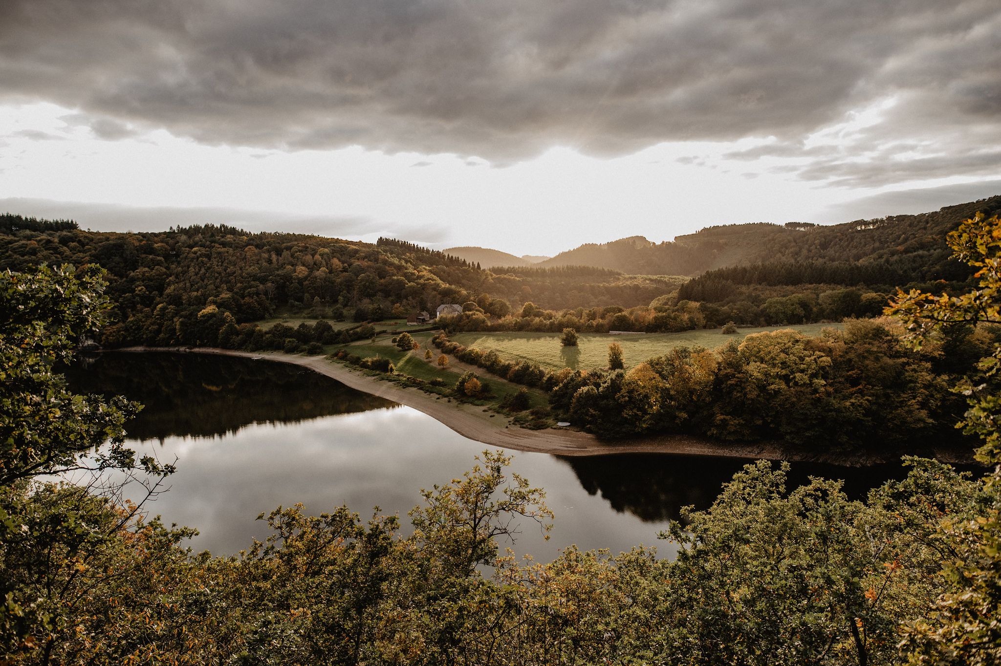
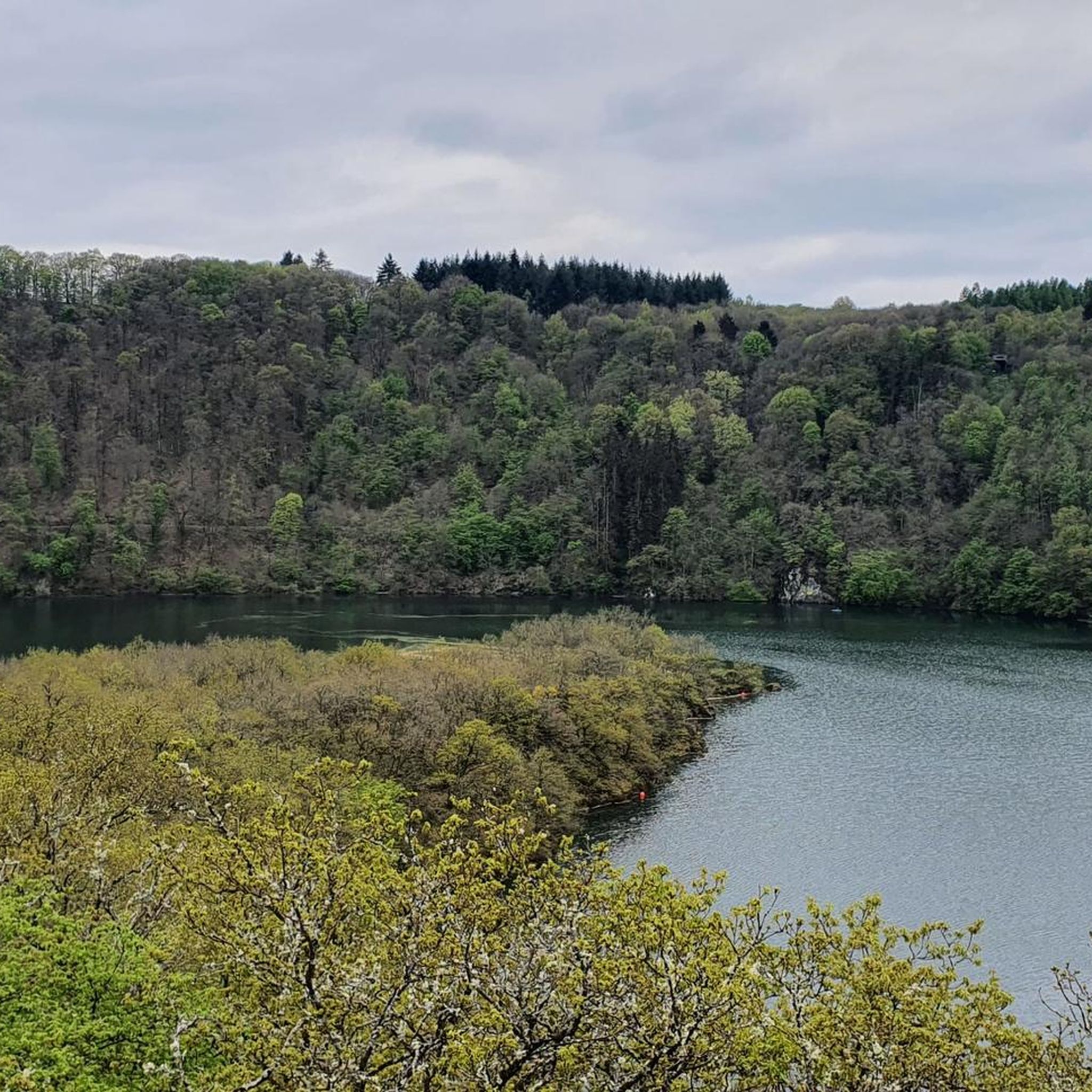
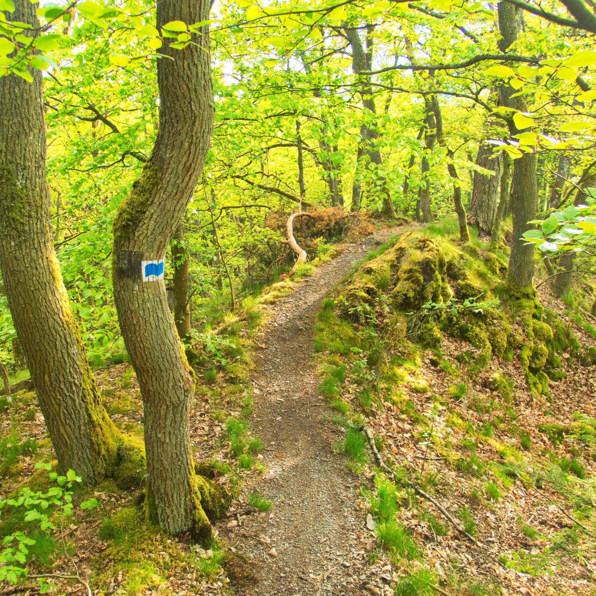
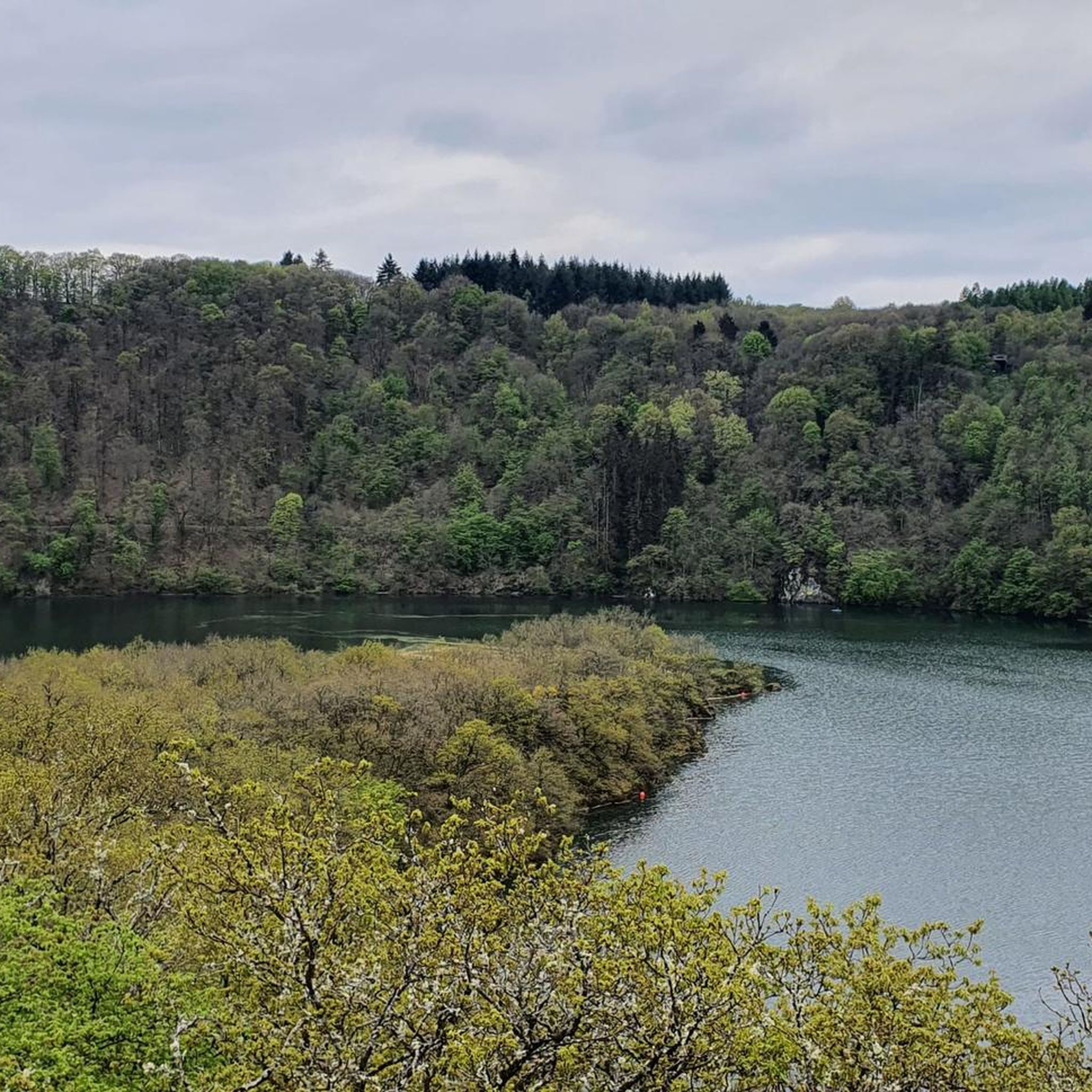
Hiking trails around Lac de la Haute-Sûre traverse a landscape defined by the Upper Sûre Natural Park, featuring steep, wooded slopes, narrow valleys, and the central artificial lake. The region's terrain offers diverse opportunities for outdoor activities, with many paths winding along the lake's shores and through lush forests. Hikers can explore varied ecosystems and encounter crystal-clear streams within this natural environment.
Best hiking trails around Lac de la Haute-Sûre
- The most popular hiking route is Éislek Pad Bavigne,…
Last updated: July 4, 2026
4.8
(399)
1,318
hikers
9.99km
02:45
160m
170m
Moderate hike. Good fitness required. Easily-accessible paths. Suitable for all skill levels.
4.7
(217)
853
hikers
10.3km
02:59
270m
270m
Moderate hike. Good fitness required. Easily-accessible paths. Suitable for all skill levels.

Sign up for free
4.8
(76)
370
hikers
27.6km
07:59
690m
700m
Hard hike. Very good fitness required. Easily-accessible paths. Suitable for all skill levels.
4.7
(68)
307
hikers
4.83km
01:28
160m
160m
Easy hike. Great for any fitness level. Easily-accessible paths. Suitable for all skill levels.
4.6
(14)
64
hikers
Hard hike. Very good fitness required. Easily-accessible paths. Suitable for all skill levels.
Get access to more routes and recommendations from other explorers.
Sign up for free
Already have an account?
Our route recommendations are based on thousands of hikes, rides, and runs completed by other people on komoot.
Start today with a free account
Your next adventure awaits.
Login or Signup
Popular around Lac de la Haute-Sûre

Other adventures around Lac de la Haute-Sûre

Tips from the Community

On my tour "Eisleck Pad Bavigne", this viewpoint was an absolute highlight.
0
0

Floating pedestrian bridge, connecting to several hiking trails The bridge is held stable by floats and wire ropes on dry land and in the water. Should the water level rise, the central section sinks.
0
0

Beautiful section of the circular hike
0
0
Magnificent view over the bends of the reservoir, particularly beautiful in spring with the blooming broom.
0
0
Cozy dam in the morning, a few motorcyclists on the road, a small parking lot next to it, a good starting point for a walk.
1
0

Nice to linger there for a while.
1
0
Beautiful view of the reservoir.
2
0

The Mysterious Stone, created by Georg AHRENS, is part of Lultzhausen's 4 km Sculpture Trail (1999). Along our route is Jaak Hillen's Sun sculpture.
0
0
Frequently Asked Questions
How many hiking trails are there in Lac de la Haute-Sûre?
There are over 370 hiking trails around Lac de la Haute-Sûre, catering to various skill levels. This includes approximately 150 easy routes, 190 moderate routes, and 40 more challenging treks.
What kind of natural environment defines the hiking experience around Lac de la Haute-Sûre?
The hiking experience is characterized by the Upper Sûre Natural Park's landscape, featuring steep, wooded slopes, narrow valleys, and the central artificial lake. Trails often wind along the lake's shores and through lush forests, offering diverse ecosystems and crystal-clear streams.
Are there easy hiking options suitable for beginners or families?
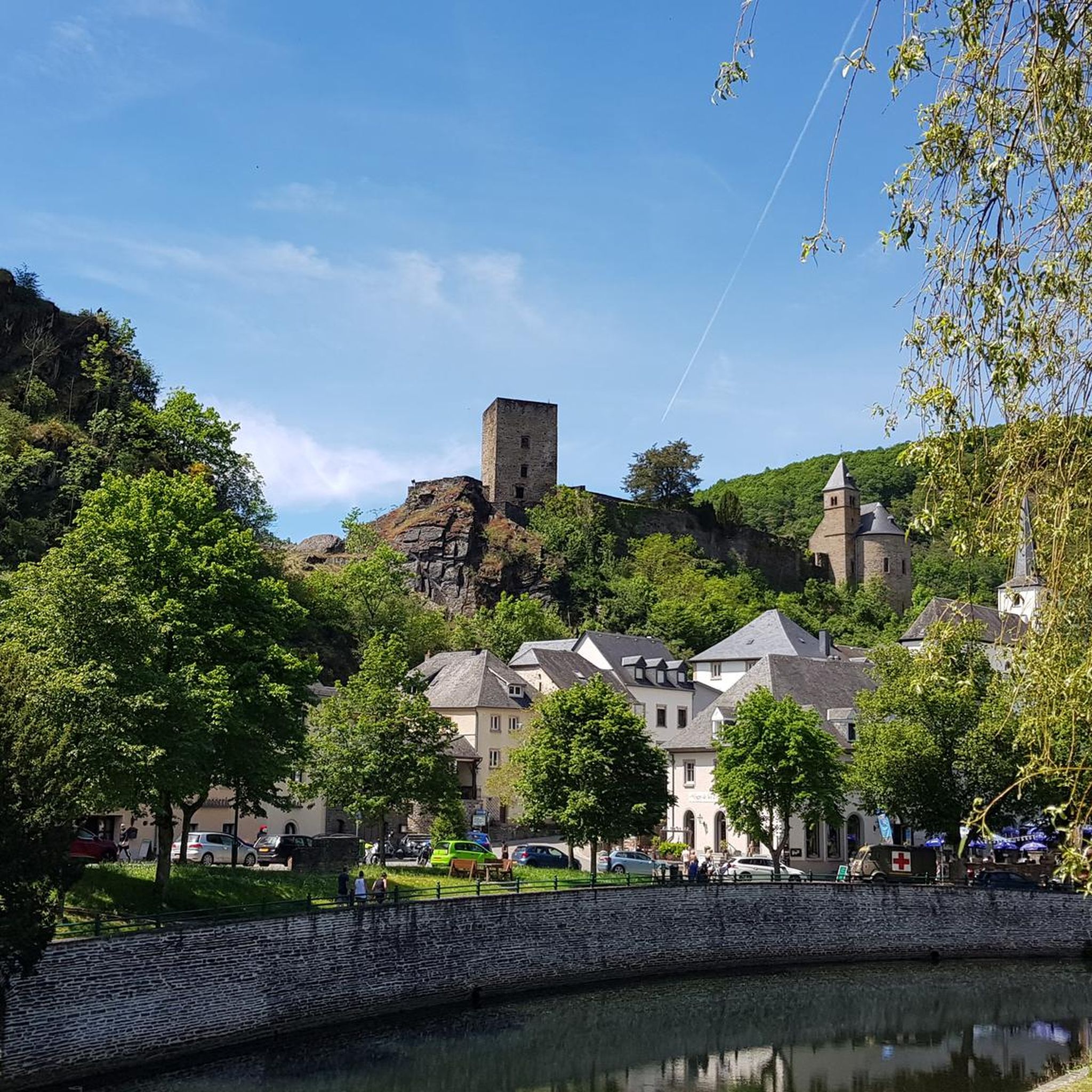
Yes, there are many easy hiking options perfect for beginners or families. For example, the ES 1: Burfeld route is an easy 4.8 km trail that offers a pleasant walk through the area.
What are some challenging hikes for experienced trekkers?
For experienced trekkers seeking a challenge, the Circuit du Lac (western part) is a demanding 27.4 km trail that leads through varied terrain along the reservoir. Another difficult option is the View of the Lake – Esch-sur-Sûre Dam loop, covering 18.3 km with significant elevation changes.
Can I bring my dog on the hiking trails?
Yes, many trails in the Lac de la Haute-Sûre region are dog-friendly. It's always recommended to keep your dog on a leash, especially in areas with wildlife or near water reservoirs, and to check specific trail regulations if available.
What natural features or landmarks can I expect to see while hiking?
Hikers can expect to see the impressive Esch-sur-Sûre Dam, the unique Lultzhausen Floating Footbridge, and the picturesque Misère Bridge (Misärsbréck). The Upper Sûre Lake near Bavigne is also a prominent natural feature.
Where can I find the best panoramic views of the lake?
Panoramic views of the Upper Sûre Lake and the surrounding landscape can be enjoyed from various vantage points. Notable spots include Belvédère Burfelt, which towers 70 meters above the reservoir, and viewpoints at Runtschelt and Schäsbierg in Bavigne.
Are there circular hiking routes available?
Yes, the region offers numerous circular hiking routes. Many of the Éislek Pad trails, such as Éislek Pad Bavigne, are designed as loops, allowing you to start and end at the same point.
Is parking readily available, and how accessible is the area by public transport?
Parking is generally available at popular trailheads and villages like Esch-sur-Sûre. The region is also accessible by public transport, with bus services connecting to various points around the lake, though schedules may vary.
When is the best time of year to go hiking in Lac de la Haute-Sûre?
The best time for hiking is typically from spring to autumn (April to October) when the weather is mild and the natural beauty is at its peak. Summer offers opportunities for water-based activities in addition to hiking, while autumn provides stunning foliage. Winter hiking is possible but requires appropriate gear due to colder temperatures and potential snow.
What do other hikers enjoy the most about hiking in Lac de la Haute-Sûre?
The area is highly rated by the komoot community, with an average score of 4.4 stars from over 4400 reviews. Reviewers often praise the serene lake views, the varied terrain through forests and valleys, and the well-marked trails that cater to all skill levels.
Most popular routes around Lac de la Haute-Sûre
Most popular attractions around Lac de la Haute-Sûre

Get inspired with the komoot mobile app


