The best road cycling routes around Loch Bó Finne
5.0
(9)
531
riders
16
rides
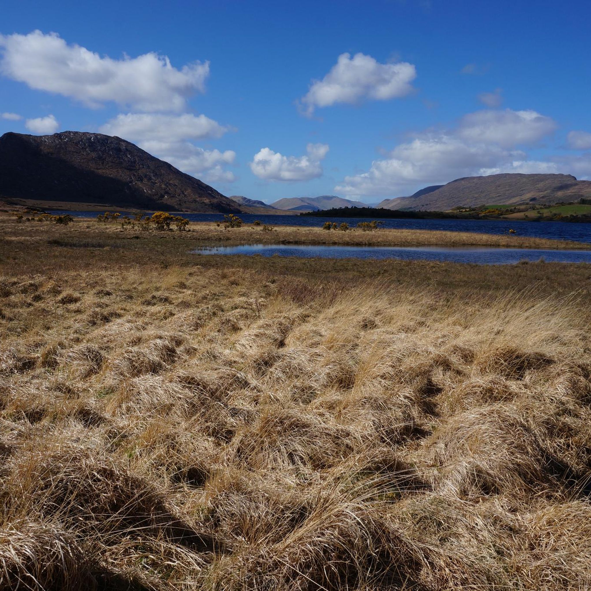
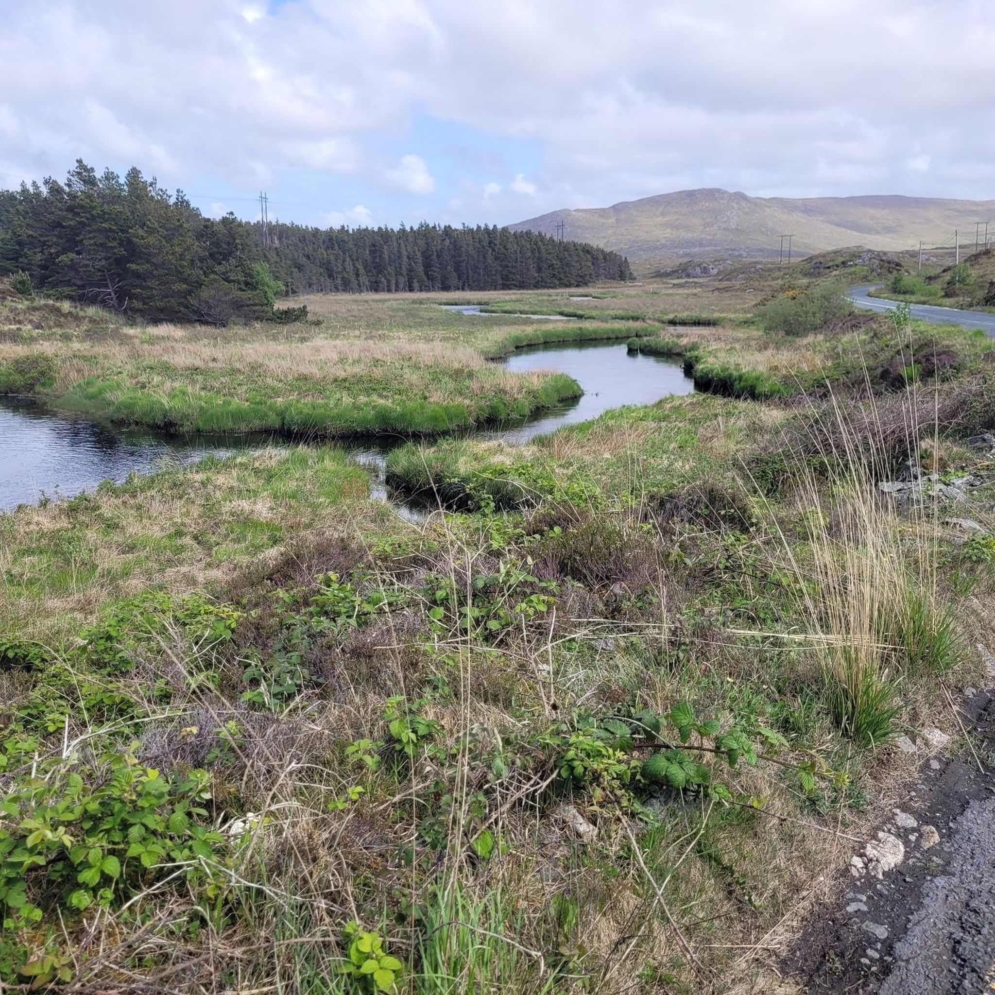
Road cycling routes around Loch Bó Finne, located in the Conamara Municipal District, traverse a rugged landscape characterized by freshwater lakes, silent hills, and coastal stretches. The region features a mix of paved roads winding through bogland and alongside the Twelve Bens mountain range. Road cycling routes here offer diverse terrain, from gentle lakeside paths to more challenging ascents through the Connemara countryside. The area's natural beauty includes panoramic views of the Atlantic and numerous loughs.
Best road cycling routes…
Last updated: August 31, 2026
13
riders
34.6km
01:36
340m
340m
Moderate road ride. Good fitness required. Mostly well-paved surfaces and easy to ride.
5
riders
49.8km
02:33
550m
550m
Moderate road ride. Good fitness required. Mostly well-paved surfaces and easy to ride.

Sign up for free
13
riders
130km
05:09
610m
610m
Hard road ride. Very good fitness required. Mostly well-paved surfaces and easy to ride.
7
riders
156km
06:57
1,060m
1,060m
Hard road ride. Very good fitness required. Mostly well-paved surfaces and easy to ride.
5.0
(6)
336
riders
Hard road ride. Very good fitness required. Mostly well-paved surfaces and easy to ride.
Get access to more routes and recommendations from other explorers.
Sign up for free
Already have an account?
Our route recommendations are based on thousands of hikes, rides, and runs completed by other people on komoot.
Start today with a free account
Your next adventure awaits.
Login or Signup
Popular around Loch Bó Finne

Tips from the Community

Incredible place! We passed by on 17/08/2026 and there was a sign that said the road was closed, but with bikes we managed to pass without problems. There is a small bridge that is dangerous for cars, but with bikes you can pass without problems. In any case, the height of the bridge is very low, even if you had to pass through the stream below, I don't think there would be any problems.
0
0

At this spot, the landscape opens up towards Killary Lough, Ireland's only true fjord. From the slight elevation, you see the long, narrow water between the Mweelrea mountains (Mayo) and the Twelve Bens/Maumturks (Galway). The view is broad and clear: a deep, straight fjord valley with steep flanks, tidal water, and often a strikingly silvery light. The road runs here along open peatland and low rocks, causing the fjord to suddenly come fully into view — a classic Connemara moment of space, water, and rugged mountains.
7
0
This is THE postcard moment of your tour through Connemara. From this elevated point along the N59, you have an unobstructed view over the deep blue fjord and the steep walls of the Mweelrea mountain on the other side. It's the perfect spot to get off your bike for a moment, breathe in the salty sea air, and take in the scale of this unique glacial landscape. Don't forget to wave to the dolphins that sometimes swim by in the depths below!
7
0
One of the most beautiful beaches in the world: secluded, serene, stunning and all yours, for the afternoon. Occasionally a curragh drifts in with the tide, laden with the finest treats the sea has to offer, and then it's quiet again. A tangible reminder of the power of the sea. This enormous rusty anchor belonged to the Norwegian ship the 'Varity', which ran aground here in 1890 during a severe storm. The ship was en route from Canada to Belfast with a cargo of timber when it was wrecked near Aughris Beach. For cyclists on the Lower Sky Road, this is an impressive stop just 4 metres above sea level. As you gaze out over the white sands of Aughris Beach, you realise how untameable the Connemara coast can be.
5
0
This historic stone arch bridge marks the spectacular entrance to Clifden. From the bridge, you look down on the wild rapids of the Owenglin River, which thunders down here via a series of small waterfalls into the bay. The contrast between the crashing water, the old grey stone, and the colourful facades of the town further on is magnificent.
6
0
The charming fishing village of Roundstone, with its colourful houses and active harbour, is the ideal place for a stop. You'll find excellent fresh fish here (try the chowder!) and a lively atmosphere. For cyclists, the road along the bay is relatively flat, but be aware of the wind that has free rein here from the Atlantic Ocean.
7
0

Relatively quiet roads, good tarmac, wild and dramatic scenery
1
0

Frequently Asked Questions
How many road cycling routes are available around Loch Bó Finne?
There are over 20 road cycling routes around Loch Bó Finne, offering diverse terrain from gentle lakeside spins to more challenging ascents through the Connemara countryside. The komoot community has explored these routes over 500 times.
What kind of terrain can I expect on road cycling routes in the Loch Bó Finne region?
The region offers a mix of paved roads winding through rugged landscapes, bogland, and alongside the Twelve Bens mountain range. You'll find routes traversing freshwater lakes, silent hills, and stunning coastal stretches, particularly around Inishbofin Island, County Galway, which is known for its dry terrain and white beaches.
Are there road cycling routes suitable for beginners or families around Loch Bó Finne?
Yes, there are 2 easy routes and 12 moderate routes available. Inishbofin Island, County Galway, is particularly well-suited for families and beginners due to its lack of serious hills and quiet byroads. The areas around Lough Ree, County Westmeath, also offer gentler, mostly paved routes with lake views.
What options are there for experienced road cyclists seeking a challenge?
For experienced cyclists, there are 6 difficult routes that offer significant elevation gain and longer distances. Routes like the Roundstone, Clifden, and Leenaun loop from Maam Cross cover over 155 km with more than 1000 meters of elevation, providing a substantial challenge.
Are there any circular road cycling routes in the area?
Yes, many routes are designed as loops. For example, the popular Views of Lough Corrib loop from Cornamona is a moderate 33.5 km circular trail offering scenic views. Another option is the View of Lough Nafooey – Lough Nafooey Beach loop from Drumsnauv, which winds along Lough Nafooey.
What are some notable viewpoints or attractions along the road cycling routes?
The routes offer panoramic views of the Atlantic, numerous loughs, and the Twelve Bens mountain range. On Inishbofin Island, County Galway, you can enjoy stunning coastal cliffs, coves, and historical sites like Cromwell's Barracks. The island also features a unique lagoon, Loch Bó Finne (Lake of the White Cow), separated from the Atlantic by sand dunes.
What do other road cyclists enjoy most about road cycling in Loch Bó Finne?
The area is highly rated by the komoot community, with an average score of 5.0 stars from over 6 reviews. Cyclists often praise the stunning natural beauty, the diverse terrain, and the sense of tranquility found on the routes through Connemara's rugged landscape and along the loughs.
Is it possible to rent bikes in the Loch Bó Finne region?
Yes, particularly on Inishbofin Island, County Galway, visitors can rent bikes to explore the island's byroads and pastureland. This makes it convenient for those who prefer not to bring their own equipment.
Are there cafes or places to stop for refreshments along the routes?
While specific cafes are not detailed for every route, the broader Connemara region and tourist-friendly areas like Inishbofin Island (Galway) have infrastructure to support visitors. It's advisable to check local amenities along your chosen route before setting out.
What is the best time of year for road cycling around Loch Bó Finne?
The region's weather can be variable. Generally, late spring to early autumn (May to September) offers the most favorable conditions with milder temperatures and longer daylight hours. However, always be prepared for changing weather, especially in coastal and mountainous areas.
How long do road cycling routes typically take around Loch Bó Finne?
Route durations vary significantly based on distance and difficulty. Shorter, moderate loops like the Views of Lough Corrib loop from Cornamona can take around 1 hour 30 minutes. Longer, more challenging routes, such as Lough Corrib, Maam Cross and Ballynahown from Galway, can take over 5 hours to complete.
Where can I find parking for road cycling routes?
Specific parking details vary by route start point. For routes originating from towns or villages like Cornamona or Maam Cross, public parking options are generally available. When planning your trip, check the starting point of your chosen route for local parking information.

Get inspired with the komoot mobile app


Explore more
Browse the best Road cycling routes in other regions.
