The best walks and hikes around Loch Bó Finne
4.3
(24)
153
hikers
15
hikes
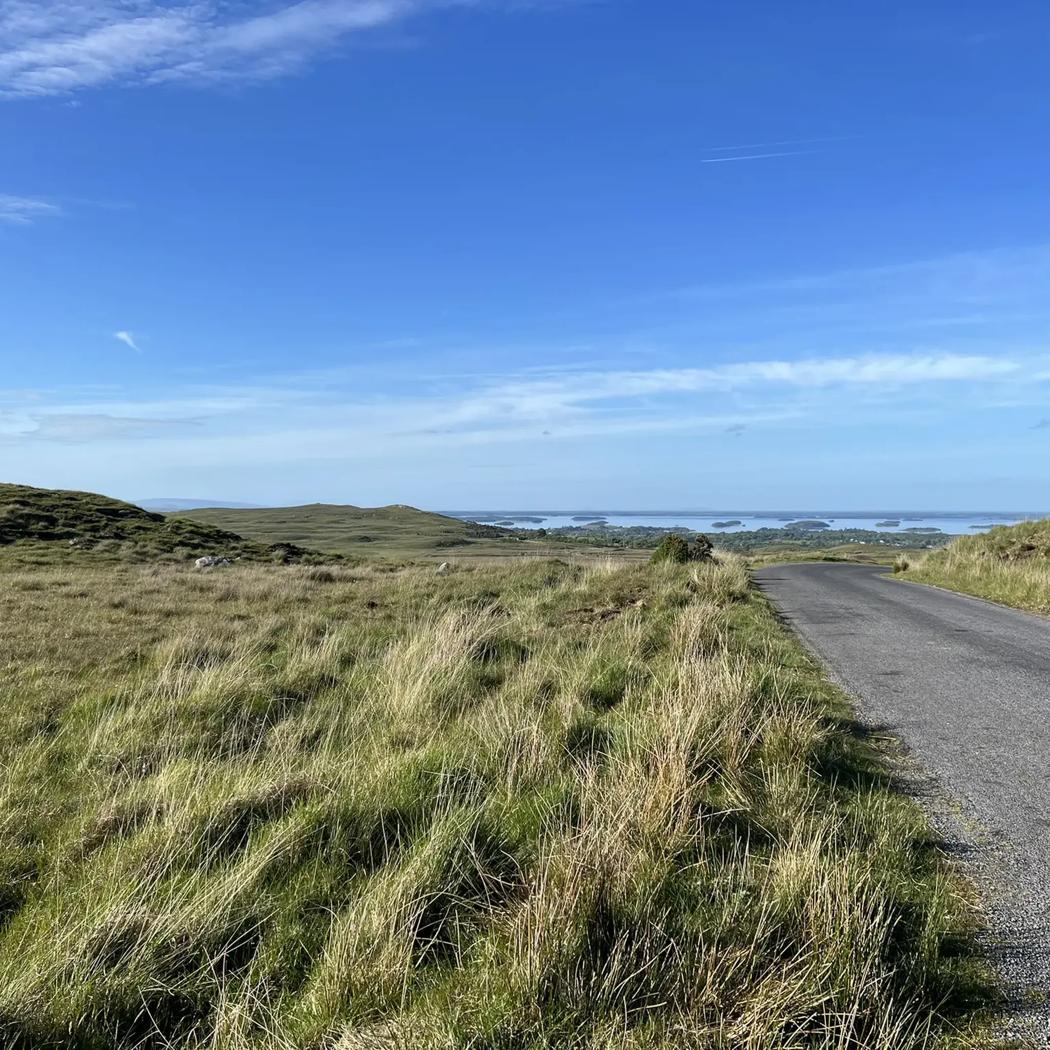
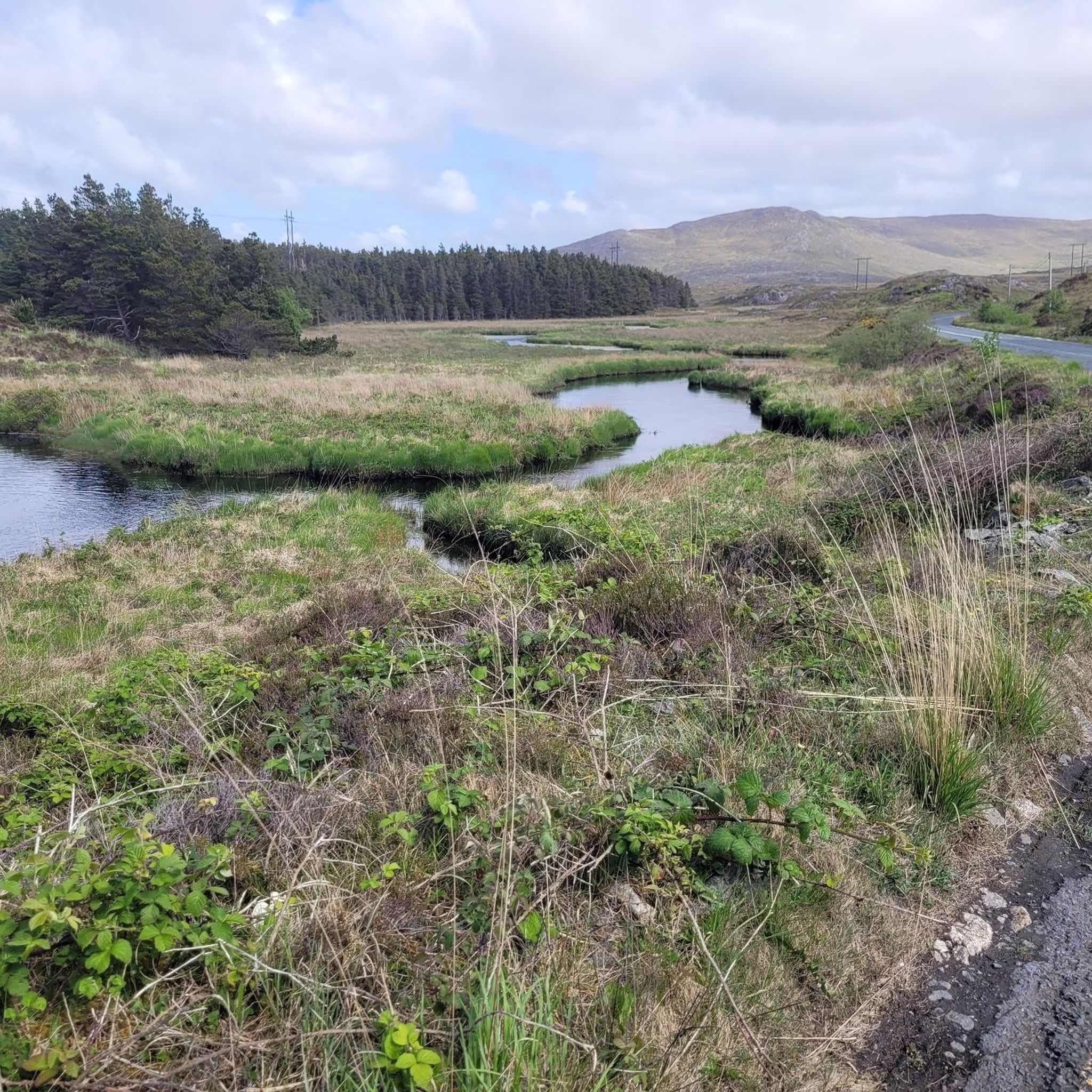
Hiking around Loch Bó Finne offers diverse landscapes in County Donegal, Ireland. The region is characterized by the scenic Lough Finn and the meandering River Finn through its valley. Hikers will encounter rugged terrain, stretches of bogland, forestry tracks, and various hills, providing a mix of ascents and descents.
Best hiking trails around Loch Bó Finne
- The most popular hiking route is Míle Órga circuit, an easy 1.3 miles (2.2 km) trail that takes about 35 minutes to complete.…
Last updated: July 7, 2026
5.0
(1)
2
hikers
2.17km
00:35
30m
30m
Easy hike. Great for any fitness level. Easily-accessible paths. Suitable for all skill levels.
5.0
(1)
17
hikers
15.5km
04:03
110m
110m
Moderate hike. Good fitness required. Easily-accessible paths. Suitable for all skill levels.

Sign up for free
3.5
(2)
22
hikers
10.2km
02:49
170m
170m
Moderate hike. Good fitness required. Easily-accessible paths. Suitable for all skill levels.
5.0
(1)
5
hikers
19.1km
05:14
310m
310m
Hard hike. Very good fitness required. Easily-accessible paths. Suitable for all skill levels.
5
hikers
5.89km
01:39
120m
120m
Easy hike. Great for any fitness level. Easily-accessible paths. Suitable for all skill levels.
Get access to more routes and recommendations from other explorers.
Sign up for free
Already have an account?
Our route recommendations are based on thousands of hikes, rides, and runs completed by other people on komoot.
Start today with a free account
Your next adventure awaits.
Login or Signup
Popular around Loch Bó Finne

Tips from the Community

The Galway to Clifden Railway Line Info Panel along your route allows you to experience this fascinating piece of local history. The panel shows one of the railway line's steam engines, which was vital for connecting the remote region of Connemara to the rest of Ireland from its opening in 1895 until its closure in 1935. It’s a great highlight showcasing how the trail you are walking was once a crucial transport link.
0
0

The path to the waterfall from the sign has been blocked. Too bad.
0
0

This part of the Western Way passes between the outlying peak of Lackavrea and Corcogemore, on the eastern end of the rugged Maumturks range. Here, nestles the little Maunwee Lough, a lovely spot. The end of the first stage, at Maum, is just a short hop from here.
1
0
NB: At the time of writing (July 2025), this section of the Western Way was impassable and closed until further notice. See: thewesternway.ie for trail updates. This is a beautiful section of the Western Way long-distance trail. Boardwalks take you along the bog beneath the Maumturks outlier of Lackavrea, an impressive, standalone peak. Expect pretty little waterfalls, grand views into the heart of Connemara and rich wildlife.
0
0

Cloosh Forest, nestled in the heart of County Galway features a variety of trails that wind through its diverse landscape of woodlands and lakes with views of the surrounding mountains and the nearby Atlantic coastline.
0
0

Cam you hear the sound of the waterfall ? If so ignore the official trail for a moment. There's a small trail on the right hand side of the sign. A really short walk will take you to this small waterfall. Well worth a visit.
0
0

The Western Way crosses Counties Galway and Mayo. The start is close to here, to the southeast in Oughterard. The first section is 15 miles (24 km) in length to Maum.
0
0
Take a short detour off the Western Way to this cute waterfall. There is even a bench to rest your weary legs and listen to the beautiful sound of water rushing over the rocks.
0
0
Frequently Asked Questions
What types of hiking trails can I find around Loch Bó Finne?
Loch Bó Finne offers a variety of hiking trails, from easy strolls to more challenging routes. You'll encounter diverse landscapes including country lanes, forestry tracks, and hills, often overlooking the scenic Lough Finn and the meandering River Finn. The area is characterized by its wild and rugged beauty, including significant stretches of bogland.
How many hiking routes are available in the Loch Bó Finne area?
There are over 15 hiking routes available around Loch Bó Finne, catering to various skill levels. This includes 8 easy routes, 6 moderate routes, and 1 difficult route, ensuring options for different preferences and abilities.
Are there any easy or beginner-friendly hikes in Loch Bó Finne?
Yes, Loch Bó Finne has several easy routes suitable for beginners or those looking for a gentle walk. An example is the Míle Órga circuit, an easy 2.2 km trail that takes about 35 minutes to complete, perfect for a quick outing near the lake.
What is the most challenging hike in the region?
For those seeking a challenge, the Galway Wind Way – Shannapheasteen Forest loop from Seecon is classified as difficult. This route spans approximately 19 km and involves a significant elevation gain, offering a rewarding experience for experienced hikers.
Are there any circular walks around Loch Bó Finne?
Yes, the region features several circular walks. The Galway Wind Way loop is a popular moderate option, covering about 10.2 km through forestry and open landscapes, typically completed in under 3 hours.
What kind of terrain should I expect on the trails?
Hikers should be prepared for varied terrain, including country lanes, forestry tracks, and hills. The area is known for its rugged beauty and significant stretches of bogland, which can be wet and challenging underfoot, even in summer. Gaiters are often advisable.
What do other hikers say about the trails in Loch Bó Finne?
The trails in Loch Bó Finne are highly rated by the komoot community, with an average score of 4.2 stars from over 20 reviews. Hikers often praise the wild and remote beauty of Donegal, the varied scenery, and the opportunity to experience authentic Irish landscapes.
Is there public transport available to reach the hiking areas?
Information regarding specific public transport routes directly to the trailheads around Loch Bó Finne is limited. It is generally recommended to check local bus services or consider driving, as the area is quite rural.
Where can I park when visiting the trails?
While specific parking areas for every trailhead are not detailed, many trail starting points in rural areas like Loch Bó Finne often have informal parking spaces or small car parks. It's advisable to check individual route descriptions for parking recommendations.
What should I bring for a hike in Loch Bó Finne?
Given the rugged and potentially boggy terrain, even in summer, it's recommended to bring appropriate waterproof footwear and gaiters. Layers of clothing, navigation tools, water, and snacks are also essential for a comfortable and safe hiking experience.
Are there any historical features to look out for on the trails?
Yes, a unique historical feature in the area is the visible remnants of the old Donegal railway line, which stretches for 5 km along Lough Finn. This adds an interesting historical dimension to the natural landscape.
Are the trails around Loch Bó Finne suitable for families with children?
While some routes are rugged, there are easy trails like the Moss-Covered Rock Display loop from Seecon, which is an easy 5.9 km path. These shorter, less strenuous options can be suitable for families, depending on the children's age and hiking experience.
What is the best time of year to hike in Loch Bó Finne?
The best time to hike in Loch Bó Finne is generally during the drier months, typically late spring to early autumn. However, be prepared for potentially wet and boggy conditions year-round due to the region's climate. Always check the local weather forecast before heading out.
Most popular routes around Loch Bó Finne

Get inspired with the komoot mobile app


Explore more
Browse the best Hikes in other regions.
