The best walks and hikes around Lough Nafooey
4.9
(6)
55
hikers
5
hikes
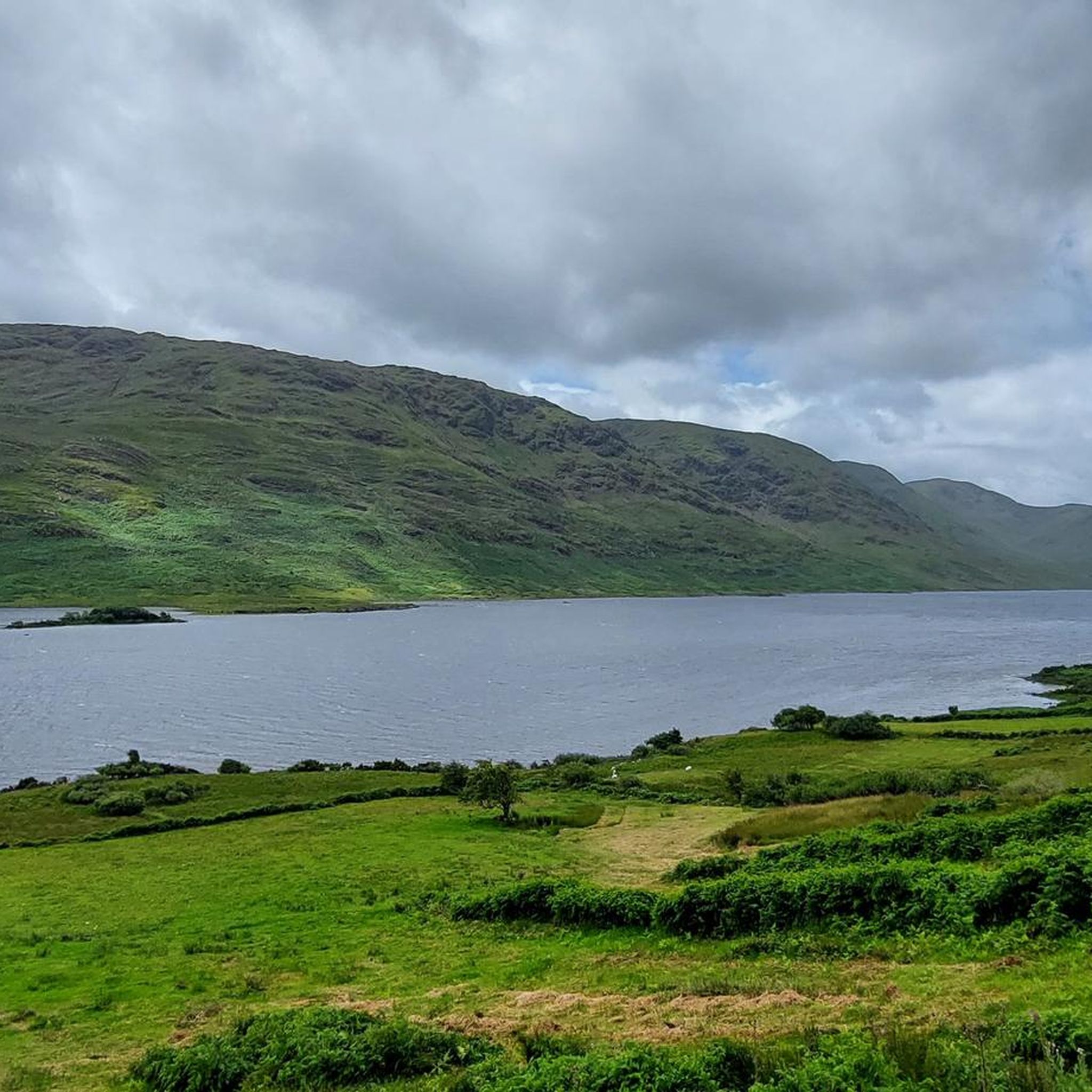
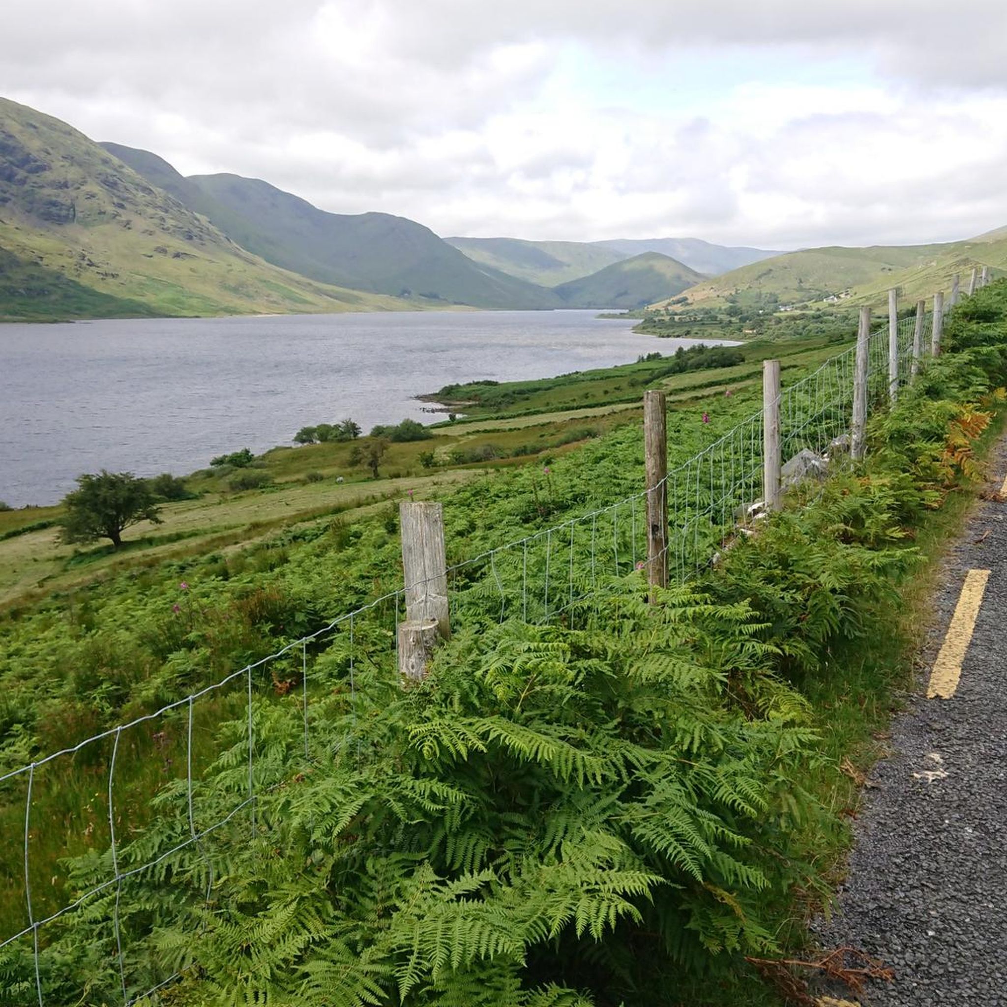
Hiking around Lough Nafooey offers diverse terrain within a glacial valley in County Galway, Ireland. The region is characterized by the rectangular Lough Nafooey itself, surrounded by the mountains of Galway and Mayo, including the rugged Maumturk Mountains. The landscape features ancient volcanic rocks, rivers, and streams, with trails winding through valleys, forests, and along the lake shores. This area provides a range of hiking experiences from gentle paths to more challenging routes up steep hillsides.
Best hiking trails around…
Last updated: May 15, 2026
5
hikers
14.0km
03:55
280m
280m
Hike the moderate 8.7-mile Lough Nadirkmore Trail in County Mayo, offering views of Lough Mask and challenging boggy terrain.
5.0
(1)
11
hikers
8.99km
03:05
280m
280m
Moderate hike. Good fitness required. Mostly accessible paths. Sure-footedness required.

Sign up for free
5.0
(2)
13
hikers
16.7km
05:09
380m
380m
Hard hike. Very good fitness required. Mostly accessible paths. Sure-footedness required.
4.7
(3)
17
hikers
28.9km
07:54
360m
360m
Hike the difficult 17.9-mile Killary Harbour loop on the Famine Road from Leenaun, offering fjord views and historical insights.
9
hikers
12.2km
03:20
190m
190m
Moderate hike. Good fitness required. Easily-accessible paths. Suitable for all skill levels.
Our route recommendations are based on thousands of hikes, rides, and runs completed by other people on komoot.
Start today with a free account
Your next adventure awaits.
Login or Signup
Popular around Lough Nafooey
Tips from the Community

While the sheep graze on the surrounding hillsides, you stand here on the threshold of Killary Fjord. From the quay, you have a wonderful widescreen perspective of where the salt water cuts deep into the land, flanked by the impressive peaks of Mayo. It is the ideal place to put your bike aside for a moment, breathe in the salty air, and observe the activity at the small pier with the mighty Ben Gorm as a backdrop.
5
0
One of the most characteristic Connemara roads: narrow asphalt, slightly undulating, and constantly accompanied by water and low green ridges. Lough Fee lies elongated and open in the landscape. The road runs close to the banks, giving you almost continuous views of water, bog, and the surrounding hills. It feels remote and serene, with broad west coast air and an almost timeless tranquility.
5
0

Lough Mask is a very large lake that spans the Counties of Mayo and Galway. It is actually the middle of the three lakes, which all empty into the Corrib River. And the view from up here is delighful.
0
0
Whether you're looking west toward Lough Nadirkmore, or east to the much bigger Lough Mask, you're surrounded by wonderful views of water. Lucky you!
0
0
A lough surrounded by peaks is a wonderful thing. Enjoy a rest by Lough Nadirkmore after the short but relatively steep climb. If the weather is with you, there aren't many better places in Ireland for a wild swim.
0
0

This stretch of the Western Way, on the approach to Leenaun, provides excellent views across Killary Fjord. The corrie-bitten throne of Mweelrea dominates the northern shores. At 2,671 feet (814 m), it's the highest peak in the western province of Connacht.
1
0
Situated on the Killary Fjord to the north of the Maumturks and with views towards shapely Mweelrea, Leenaun is wonderfully situated for hiking adventures. The name of the village derives from the Irish An Lionán, which means 'ravine' – a reference to the way the fjord cuts through the mountainous landscape. There are a few places to eat and drink, as well as several accommodation options.
0
0
Frequently Asked Questions
What kind of terrain can I expect on hikes around Lough Nafooey?
The trails around Lough Nafooey offer a diverse range of terrain. You'll find paths winding through valleys, ancient woodlands, and along the lake shores. The area is characterized by its glacial lake and mountainous surroundings, including the rugged Maumturk Mountains, providing both gentle paths and more challenging routes up steep hillsides.
Are there any family-friendly hiking options in the Lough Nafooey area?
Yes, Lough Nafooey caters to various levels of hikers. While specific 'easy' routes aren't highlighted, the region offers trails suitable for leisurely strolls through wildflower meadows. For families, consider routes that stick to the lake shores or less elevated paths, allowing for a pleasant outdoor experience without extreme difficulty.
Can I bring my dog on the hiking trails around Lough Nafooey?
Many trails in the Lough Nafooey area are suitable for dogs, provided they are kept under control, especially around livestock. It's always best to keep your dog on a lead to protect local wildlife and ensure the safety of other hikers and farm animals. Please remember to clean up after your pet.
Are there any circular hiking routes available near Lough Nafooey?
Yes, there are several circular routes. A notable option is the Stone Bridge – Maumeen Chapel loop from Cur ED, a moderate 5.6-mile (9.0 km) path. Another is the more challenging Stone Bridge – Maumeen Chapel loop from Maum Village, which is 10.4 miles (16.7 km) long and leads through the Maumturk Mountains. Additionally, the Killary Harbour loop on the Famine Road from Leenaun offers a longer, difficult option.
What natural features or viewpoints can I see while hiking in Lough Nafooey?
Lough Nafooey is rich in natural beauty. You can expect stunning views of the glacial lake itself, surrounded by the mountains of Galway and Mayo. The area features ancient volcanic rocks, numerous rivers, and streams. A notable attraction is the Lough Nafooey Waterfall, a 35-foot cascade. From higher points, you can often see the majestic Mweelrea mountain and Killary Fjord.
What is the best time of year to go hiking around Lough Nafooey?
The best time to hike around Lough Nafooey is generally during the spring, summer, and early autumn months (April to October) when the weather is milder and daylight hours are longer. During these periods, you'll experience the full beauty of the landscape, from wildflower meadows to clearer mountain views. Always be prepared for changeable weather, as is typical for the west of Ireland.
Are there places to eat or stay near the hiking trails?
Yes, Leenaun village, located at the head of Ireland's only fjord, serves as a charming hub for the area. It offers dining, drinking, and accommodation options, making it a convenient base for your hiking adventures around Lough Nafooey.
What do other hikers enjoy most about the trails in Lough Nafooey?
The trails in Lough Nafooey are highly rated by the komoot community, with an average score of 4.9 stars from over 6 reviews. Hikers often praise the area's 'haunting beauty,' the dramatic glacial landscapes, and the variety of routes that cater to different fitness levels, from moderate walks to more challenging climbs through the mountains.
Are there any opportunities for wild swimming in the Lough Nafooey area?
Yes, Lough Nadirkmore, which is visible from the Lough Nadirkmore Trail, is suggested as an ideal spot for wild swimming during favorable weather conditions. Always exercise caution and be aware of water safety guidelines when wild swimming.
What is the geological significance of the Lough Nafooey region?
The Lough Nafooey region has a fascinating geological history. It is known as the site of the ancient 'Finny volcano,' which was active approximately 490 million years ago. While the volcano's original landform is gone, some of its volcanic rocks, such as pillow lavas and breccia, are still preserved in the area, adding a unique dimension to the landscape you'll encounter on your hikes.
How long does it typically take to complete a hike around Lough Nafooey?
Hiking durations vary significantly depending on the route's length and difficulty. For example, the moderate Lough Nadirkmore Trail (8.7 miles / 14.0 km) typically takes around 3 hours and 55 minutes. More challenging routes, like the 10.4-mile (16.7 km) Stone Bridge – Maumeen Chapel loop from Maum Village, can take about 5 hours and 9 minutes.
Is there parking available at the trailheads around Lough Nafooey?
While specific parking details for every trailhead are not provided, it is generally possible to find parking near popular starting points for trails in rural areas like Lough Nafooey. Look for designated car parks in villages such as Leenaun or near common access points to ensure responsible parking.
Most popular routes around Lough Nafooey

Get inspired with the komoot mobile app


Explore more
Browse the best Hikes in other regions.
