The best road cycling routes around Dienheim
4.6
(281)
4,645
riders
11
rides
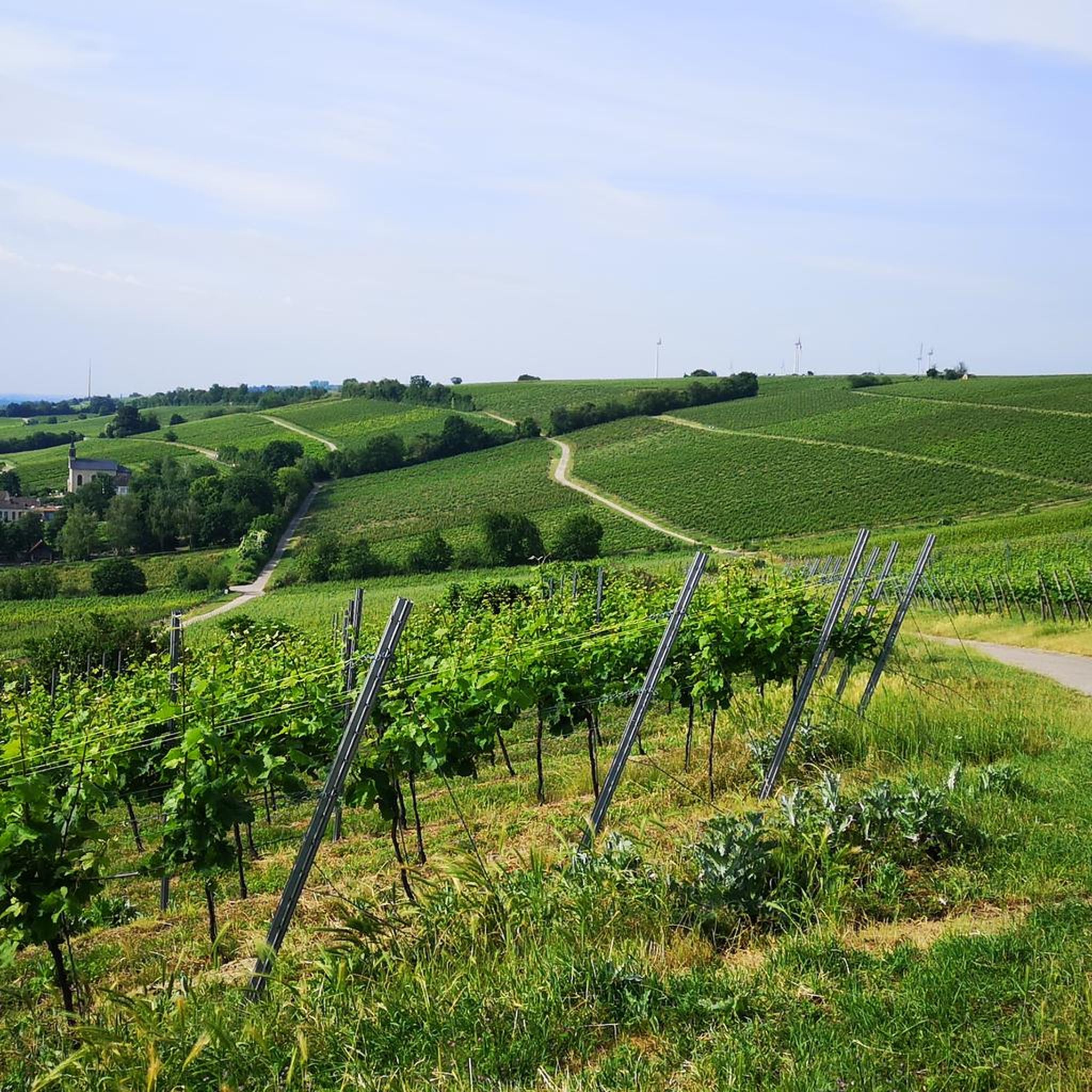
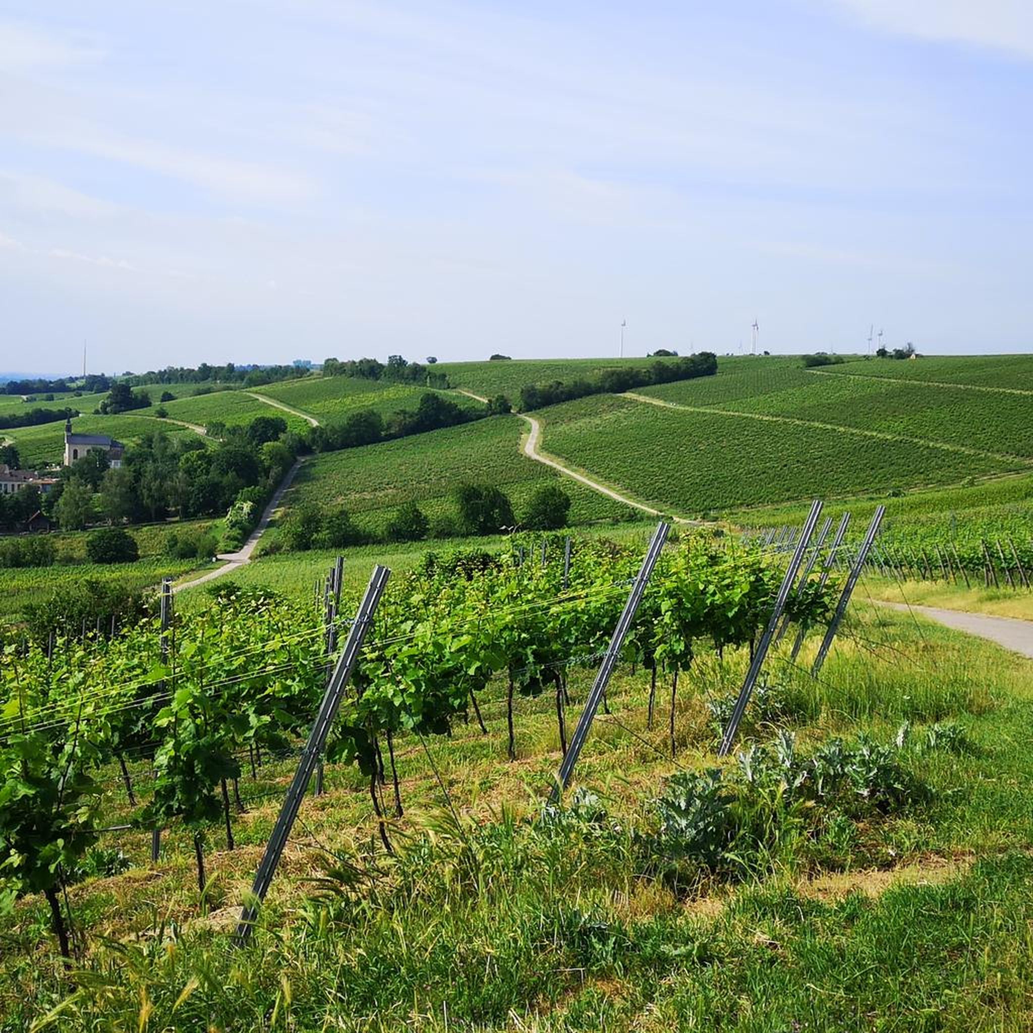
Road cycling routes around Dienheim are characterized by their location on the western bank of the Rhine, offering scenic riverside paths and routes through extensive vineyards. The region features well-maintained cycling paths and rolling hills adorned with vines, providing a varied terrain for road cyclists. The landscape is shaped by the Rhine floodplains and the picturesque Roter Hang vineyards.
Best road cycling routes around Dienheim
- The most popular road cycling route is Rhine Cycle Path at Fischsee – Rheindürkheim Rhine…
Last updated: May 20, 2026
4.9
(22)
364
riders
Moderate road ride. Good fitness required. Some segments of this route may be unpaved and difficult to ride.
39
riders
83.8km
03:46
830m
830m
Moderate road ride. Good fitness required. Mostly well-paved surfaces and easy to ride.

Sign up for free
4.5
(2)
15
riders
Moderate road ride. Good fitness required. Some segments of this route may be unpaved and difficult to ride.
13
riders
75.3km
03:19
570m
570m
Moderate road ride. Good fitness required. Mostly well-paved surfaces and easy to ride.
9
riders
109km
05:12
1,170m
1,170m
Hard road ride. Very good fitness required. Mostly well-paved surfaces and easy to ride.
Get access to more routes and recommendations from other explorers.
Sign up for free
Already have an account?
Our route recommendations are based on thousands of hikes, rides, and runs completed by other people on komoot.
Start today with a free account
Your next adventure awaits.
Login or Signup

Tips from the Community

great place to look at the Rhine
0
0
Ideal for a photo
0
0

The castle and the view of the river are beautiful, and the adjacent castle park is wild and romantic.
12
0

Away from traffic, beautiful through the vineyards
1
0
Beautiful route through the vineyards
0
0
Beautiful route through the vineyards
0
0
Very nice cycle path 🚴♂️
0
0
Very beautiful fountain in the middle of the old town
0
1
Frequently Asked Questions
What kind of terrain can I expect on road cycling routes around Dienheim?
Road cycling around Dienheim offers a diverse landscape. You'll find scenic riverside paths along the Rhine, routes winding through extensive and picturesque vineyards, and rolling hills. The region is known for its well-maintained cycling paths, many of which are asphalted and ideal for racing bikes, such as the Old Rhine Dike Cycle Path and sections of the Rhine Cycle Path at the Roter Hang vineyards.
How many road cycling routes are available in the Dienheim area?
There are over 10 distinct road cycling routes around Dienheim featured on komoot, catering to various skill levels. These include 1 easy route, 8 moderate routes, and 3 difficult routes, ensuring options for most road cyclists.
What is the best time of year for road cycling in Dienheim?
Dienheim benefits from a mild climate, making spring to autumn the ideal seasons for road cycling. During these months, you can best enjoy cycling through the vineyards and along the Rhine, with pleasant weather conditions.
Are there any challenging road cycling routes with significant elevation around Dienheim?
Yes, for those seeking more challenging rides, routes like the Amiche Railway Path – Alzey Castle loop from Dienheim offer substantial elevation gains, with over 1,100 meters of ascent. Another demanding option is the Zellertal Memorial – Flonheim loop from Dienheim, which features over 1,000 meters of climbing.
What interesting sights or landmarks can I explore along the road cycling routes in Dienheim?
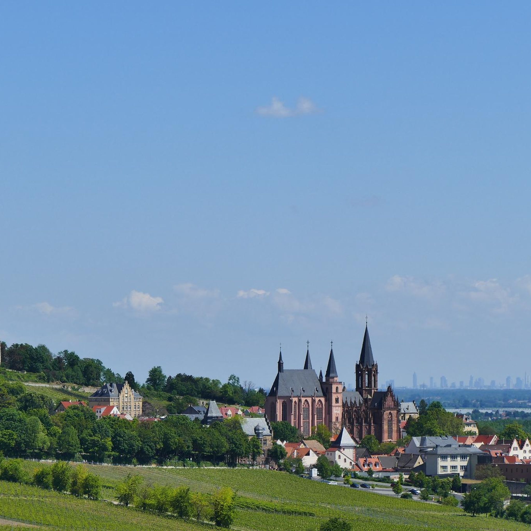
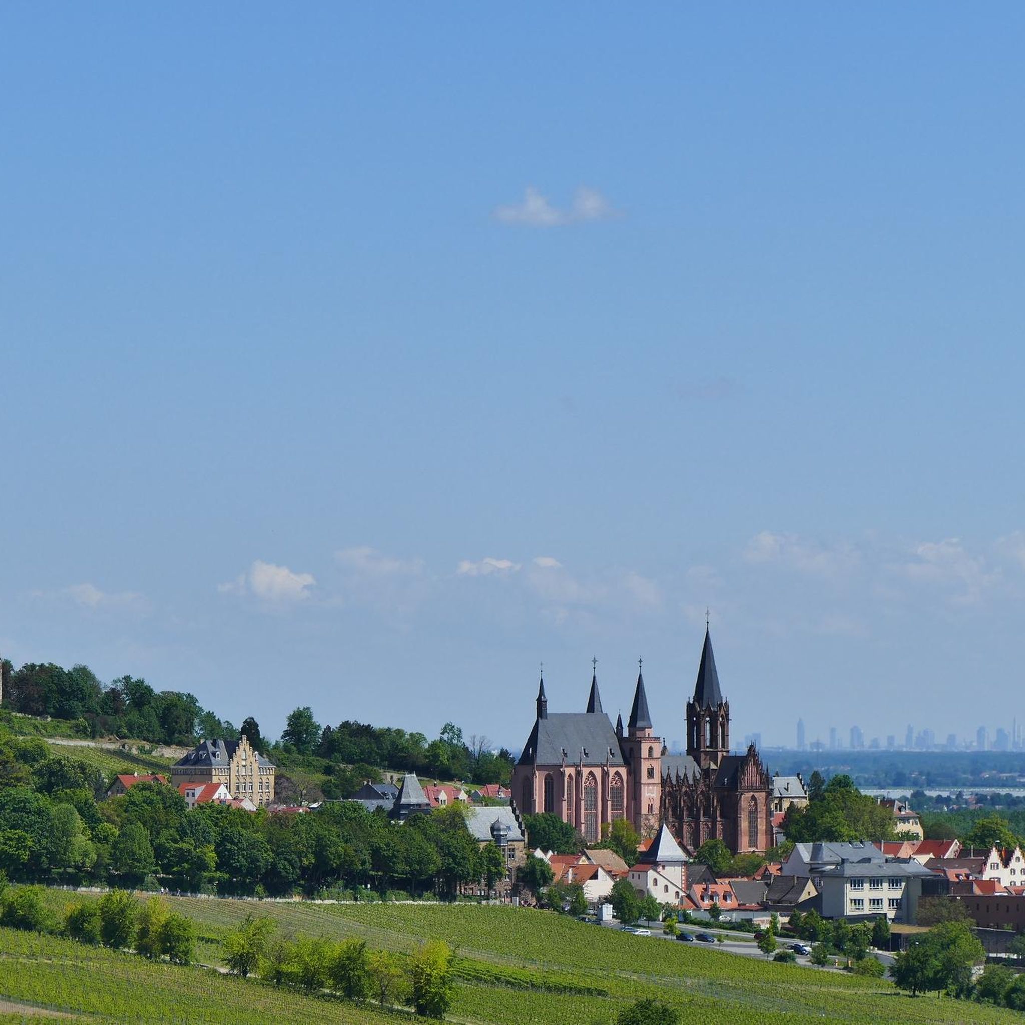
While cycling, you can discover various points of interest. The region offers stunning views of the Rhine and vineyards. You might also encounter historical buildings like St. Katharinen Church or the old water tower in Dienheim. For natural beauty, consider routes that pass near the Eich Old Rhine Lake or the Schlappeswörth Birdwatching Platform. Historic castles such as Landskron Castle Ruins are also within reach.
Are there any family-friendly road cycling options in Dienheim?
While specific 'family-friendly' road cycling routes aren't explicitly categorized, the extensive network of well-maintained and often asphalted cycle paths, particularly along the Rhine, can be suitable for families. These flatter sections offer a more relaxed riding experience away from heavy traffic.
What do other road cyclists say about the routes in Dienheim?
The road cycling routes in Dienheim are highly regarded by the komoot community, with an average rating of 4.8 stars from over 20 reviews. Cyclists often praise the varied terrain, from scenic riverside paths to challenging vineyard climbs, and the overall quality of the cycling infrastructure.
Where can I find parking for road cycling in Dienheim?
While specific parking locations are not detailed for each route, Dienheim, as a municipality, typically offers public parking options. It's advisable to look for designated parking areas within the town or near common starting points for cycle paths, ensuring you check local signage for any restrictions.
Can I access Dienheim's road cycling routes using public transport?
Dienheim is integrated into the regional public transport network. While specific bike transport options on buses or trains can vary, it's generally possible to reach Dienheim by public transport. We recommend checking the local transport provider's website for current information on bike carriage policies and schedules.
Are there opportunities to stop for refreshments or explore towns along the routes?
Absolutely. Many road cycling routes in Dienheim pass through or near charming towns and villages. The region is renowned for its winegrowing, offering opportunities to stop at local wineries for tastings. You'll also find cafes and pubs in the towns along the routes, perfect for a break and to experience local culture.
Are all the road cycling routes around Dienheim loop trails?
Yes, all the featured road cycling routes around Dienheim on komoot are designed as loop trails. This means you will start and finish at the same point, making planning your ride and logistics straightforward.
What is the longest road cycling route available in Dienheim?
The longest route featured is the Zellertal Memorial – Flonheim loop from Dienheim, covering a distance of approximately 123 kilometers (76 miles). This route offers an extensive exploration of the region's diverse landscapes.
Most popular attractions around Dienheim

Get inspired with the komoot mobile app


Explore more
Browse the best Road cycling routes in other regions.
