The best MTB trails around Spelga Reservoir
5.0
(12)
289
riders
7
rides
Spelga Reservoir mountain bike trails are set within the Mourne Mountains of Northern Ireland, offering a rugged landscape for cycling. The area features open moorland, granite outcrops, and challenging climbs, with the reservoir itself situated over 1,200 feet above sea level. Routes often involve significant elevation gains, providing demanding ascents and descents. The surrounding peaks, including Pigeon Rock Mountain and Slieve Muck, contribute to the varied terrain.
Best mountain bike trails around Spelga Reservoir
- The most popular mountain bike trail…
Last updated: June 29, 2026
7
riders
Hard mountain bike ride. Good fitness required. Advanced riding skills necessary. Some portions of the route may require you to push your bike.
48.5km
03:46
960m
960m
Hard mountain bike ride. Very good fitness required. Suitable for all skill levels.

Sign up for free
4.9
(10)
207
riders
Moderate mountain bike ride. Good fitness required. Suitable for all skill levels.
5
riders
Hard mountain bike ride. Good fitness required. Advanced riding skills necessary. Some portions of the route may require you to push your bike.
5.0
(2)
31
riders
32.7km
02:44
520m
510m
Moderate mountain bike ride. Good fitness required. Suitable for all skill levels.
Get access to more routes and recommendations from other explorers.
Sign up for free
Already have an account?
Our route recommendations are based on thousands of hikes, rides, and runs completed by other people on komoot.
Start today with a free account
Your next adventure awaits.
Login or Signup
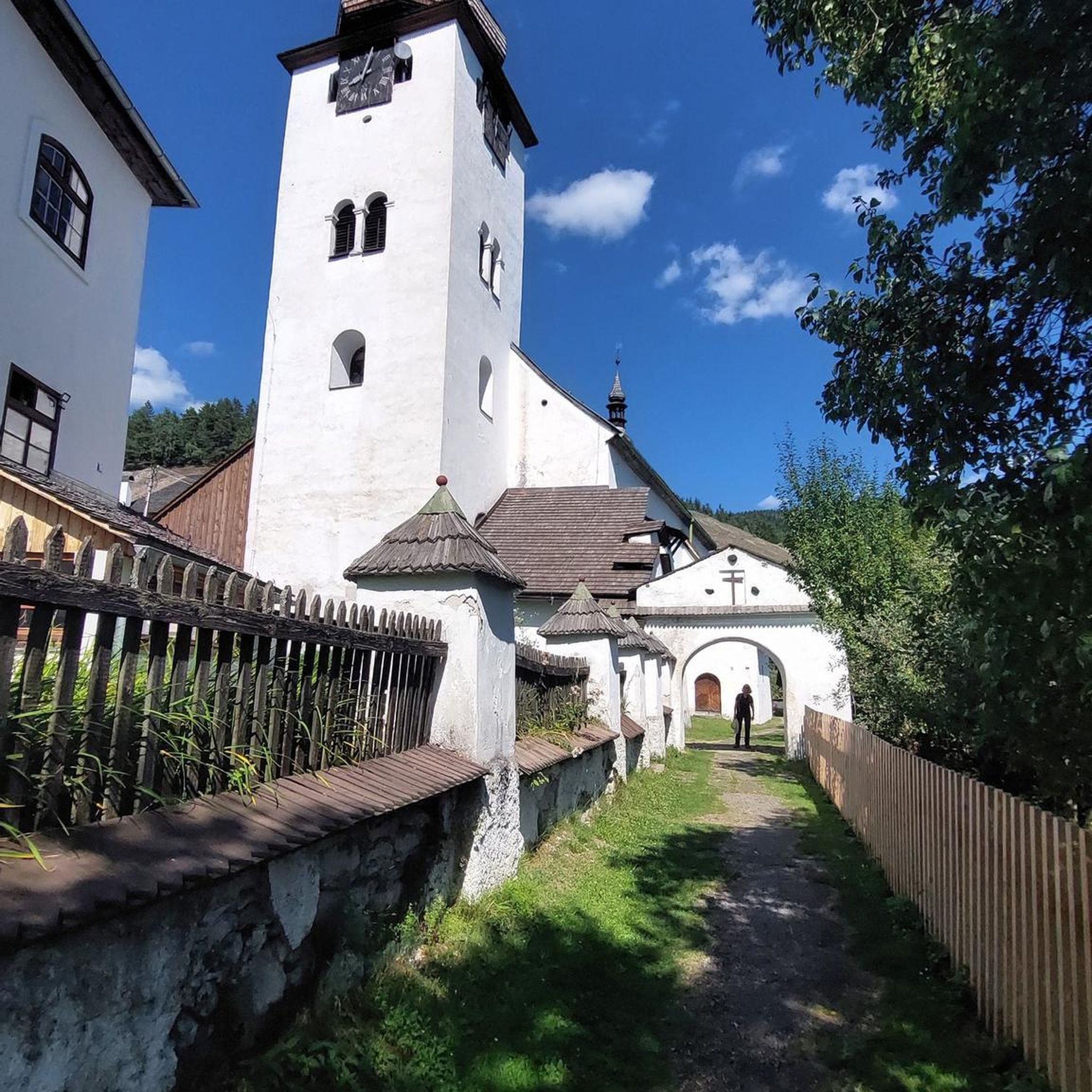
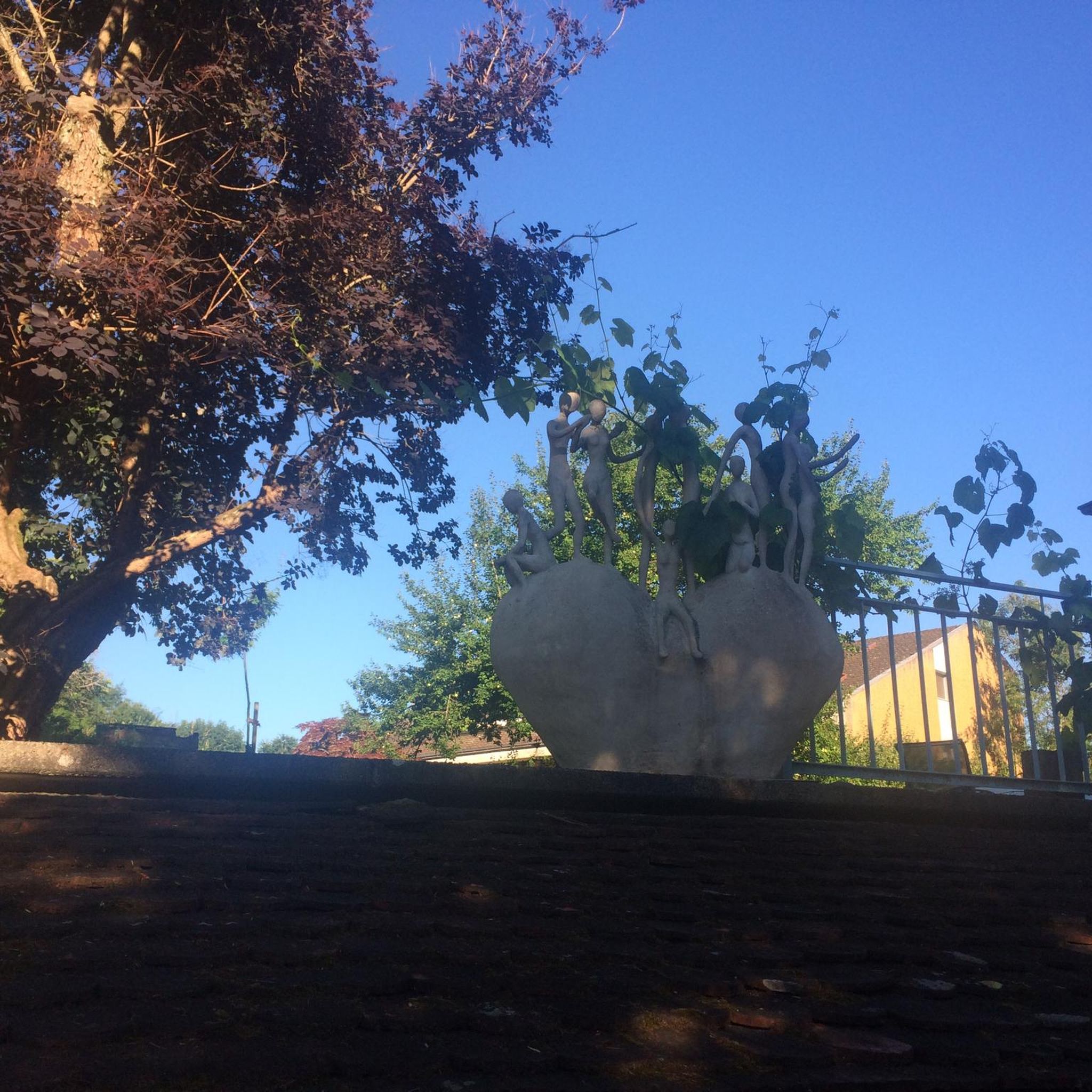
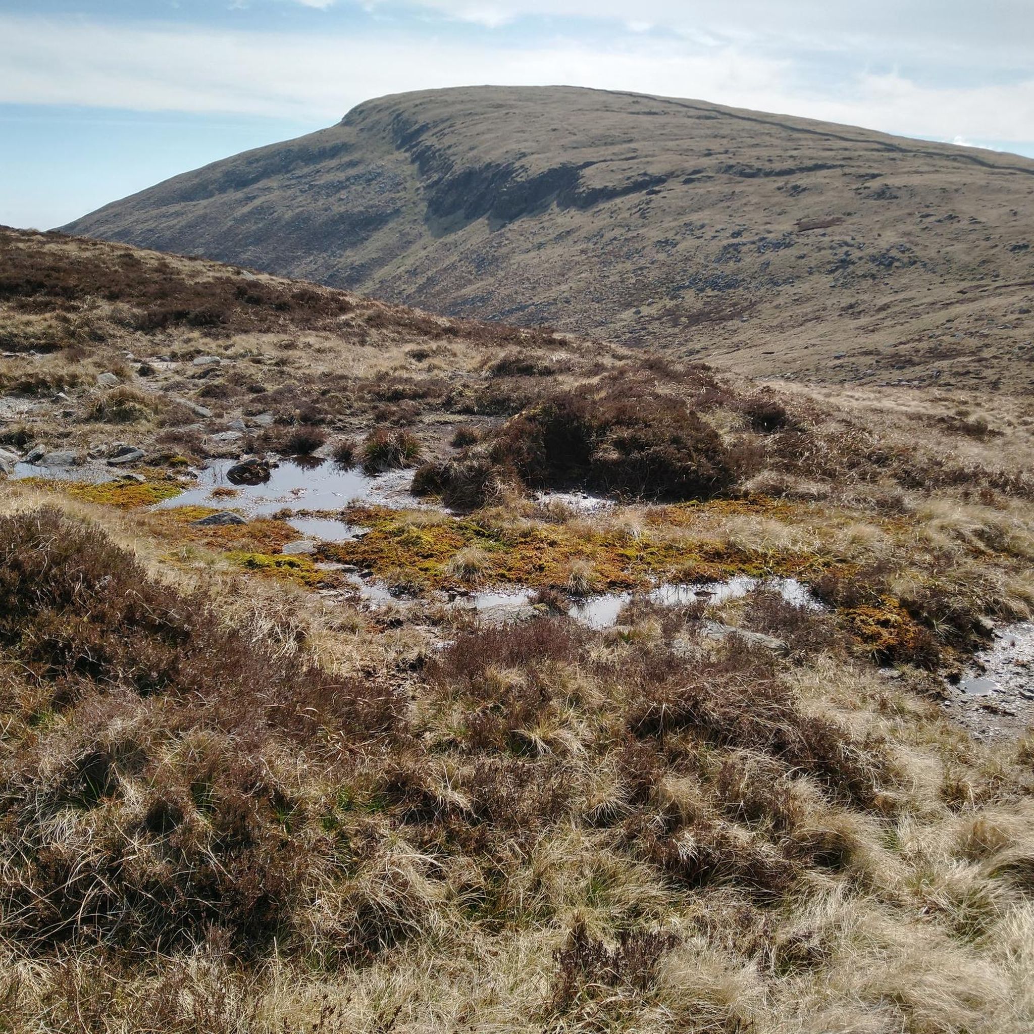
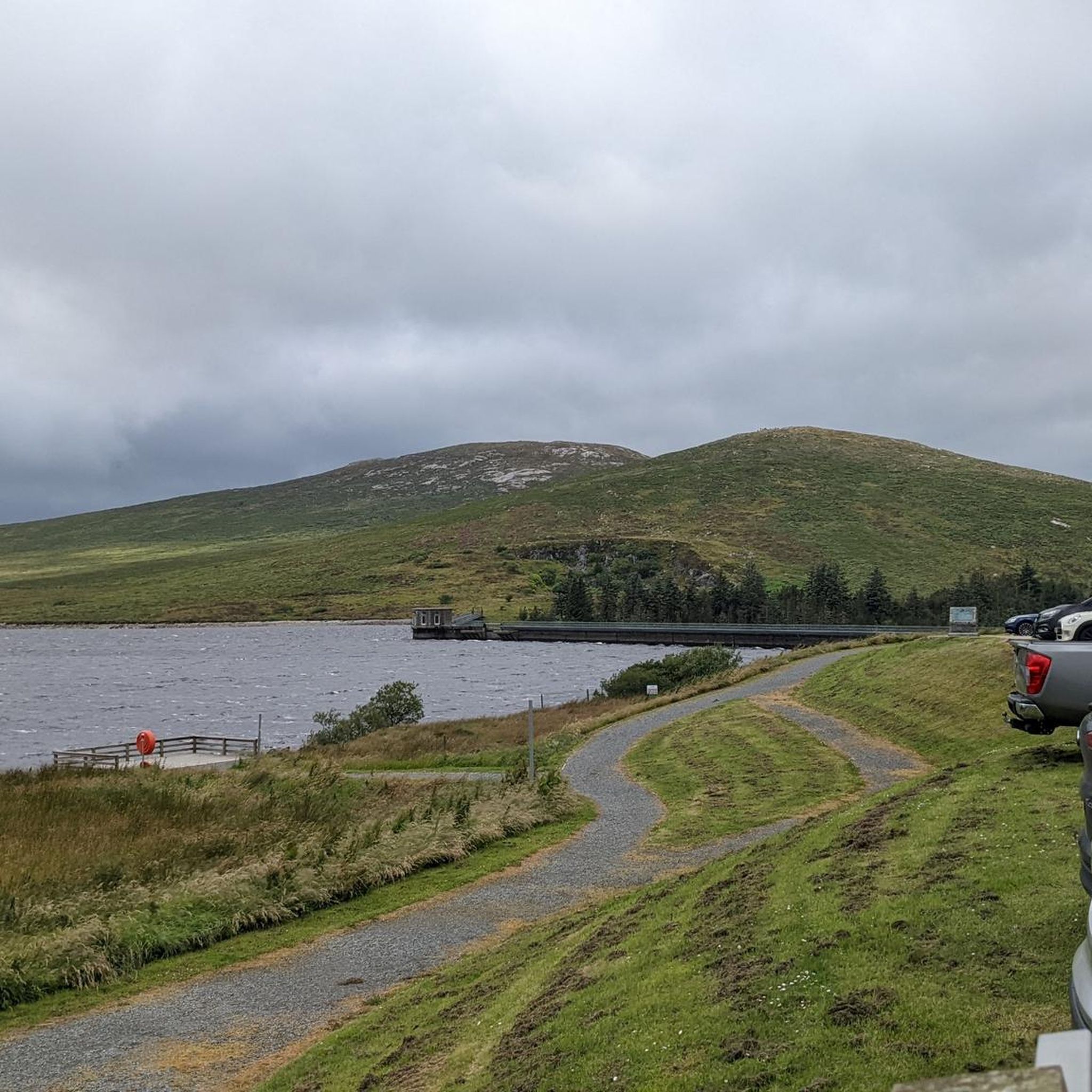
Tips from the Community

The park has no entry fee, you only have to pay 5 £ for parking.
1
0

Easy route no special gear required. Very scenic
0
0
This is a pretty peaceful and beautiful place I quite like it https://blossomword-game.com
0
0

Not appreciated when bathing there
0
0
Wonderful forest with an even more beautiful river
0
0

A wonderful path leads along the Schimna River through the Tollymore National Park. Nature literally overwhelms me with colors, green jungle and unusual plants. There is a relatively small infrastructure at the park entrance: a rest area, toilets and a small catering vehicle are available.
2
0
One of the many bridges that visitors will find - a great start.
1
0
Frequently Asked Questions
How many mountain bike trails are available around Spelga Reservoir?
There are 7 mountain bike trails documented on komoot around Spelga Reservoir. These routes offer a range of difficulties, from easy to difficult, catering to various skill levels.
What is the general difficulty level of mountain biking trails in the Spelga Reservoir area?
The mountain biking trails around Spelga Reservoir are generally challenging. Out of the 7 available routes, 3 are rated as difficult, 3 as moderate, and 1 as easy. The terrain often includes rugged mountain outcrops, open moorland, and significant elevation gains, providing demanding ascents and descents.
Are there any family-friendly mountain bike trails near Spelga Reservoir?
While many routes in the Spelga Reservoir area are challenging, there is at least one easy-rated mountain bike trail available. For families or beginners, it's advisable to check the specific route details on komoot to ensure it matches your group's ability and experience level.
What kind of terrain can I expect on mountain bike trails around Spelga Reservoir?
You can expect a rugged and varied terrain. The trails traverse open moorland, feature granite outcrops, and offer challenging climbs and descents. The area is set within the majestic Mourne Mountains, providing a dramatic backdrop of peaks like Pigeon Rock Mountain and Slieve Muck.
Are there any long-distance mountain bike loops in the Spelga Reservoir region?
Yes, there are several extensive loops. For example, the Mourne Hills loop from Hilltown is a difficult 48.5 km (30.1 miles) route, and the Red Trail Section, Mourne AONB – Kilbroney Caravan Park loop from Hilltown covers 41.7 km (25.9 miles) and is rated moderate.
What do other mountain bikers say about the trails around Spelga Reservoir?
The mountain bike trails around Spelga Reservoir are highly regarded by the komoot community, with an average rating of 4.95 stars from over 10 reviews. More than 280 mountain bikers have used komoot to explore the area, often praising the challenging climbs, varied terrain, and panoramic mountain views.
What are some of the more challenging mountain bike routes in the area?
For experienced riders seeking a challenge, routes like the Climb by Rostrevor Forest – Forest Trail in Mourne AONB loop from Crotlieve Mountain (11.5 km, difficult) or the Pierce's Castle Climb – Forest Trail in Mourne AONB loop from Yellow Water River (15.3 km, difficult) offer demanding ascents and technical sections.
Are there any moderate mountain bike trails suitable for intermediate riders?
Yes, intermediate riders can enjoy routes such as the Red Trail Section, Mourne AONB – Kilbroney Caravan Park loop from Hilltown, which is 41.7 km long, or the Bannanstown Road Climb – Tollymore Forest Park loop from Bryansford, covering 32.1 km. Both are rated as moderate and offer a good balance of challenge and enjoyment.
What is the best time of year for mountain biking around Spelga Reservoir?
Given the high-altitude setting and rugged nature of the Mourne Mountains, spring, summer, and early autumn generally offer the most favorable conditions for mountain biking. During these seasons, you'll likely encounter less rain and more stable trail conditions, though weather in the mountains can change rapidly.
What unique natural features or attractions can be found near the Spelga Reservoir mountain bike trails?
The Spelga Reservoir area is known for its dramatic landscapes, including vast expanses of heather, granite outcrops, and the surrounding peaks of the Mourne Mountains. The reservoir itself is a peaceful lookout point, and you might encounter sections of the historic Mourne Wall on some routes. There's also a local curiosity known as the 'magic road' near the dam, an optical illusion where cars appear to roll uphill.
What kind of elevation changes should I expect when mountain biking around Spelga Reservoir?
Expect significant elevation changes. The reservoir itself is over 1,200 feet above sea level, and routes often involve substantial climbs. For instance, a 4.8-mile bike climb to the top of Spelga Dam features an average gradient of 4% and a total elevation gain of 1,030 ft, with some sections reaching up to 10-15% grade.
Most popular routes around Spelga Reservoir

Get inspired with the komoot mobile app


Explore more
Browse the best MTB trails in other regions.
