The best walks and hikes around Spelga Reservoir
4.5
(805)
6,399
hikers
112
hikes
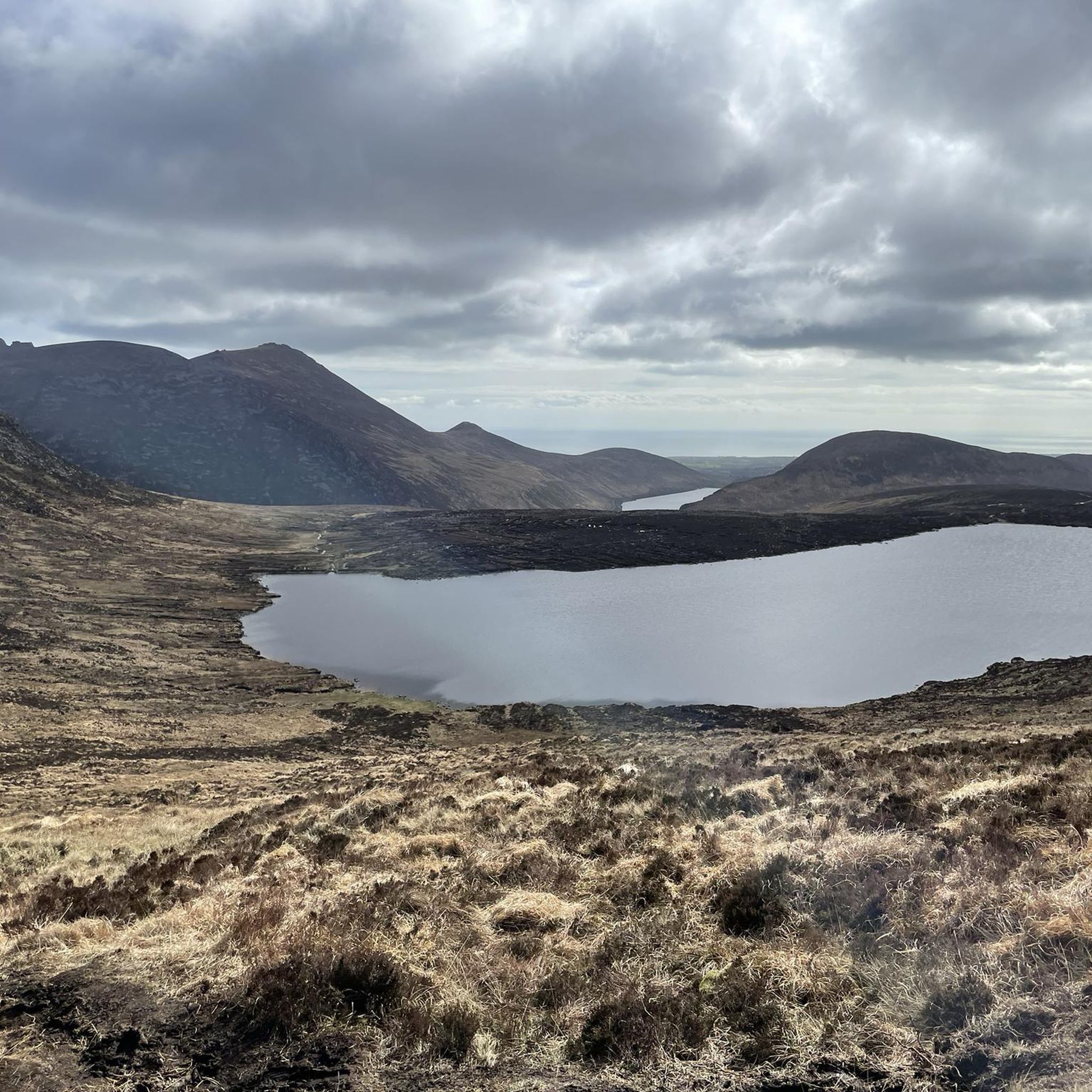
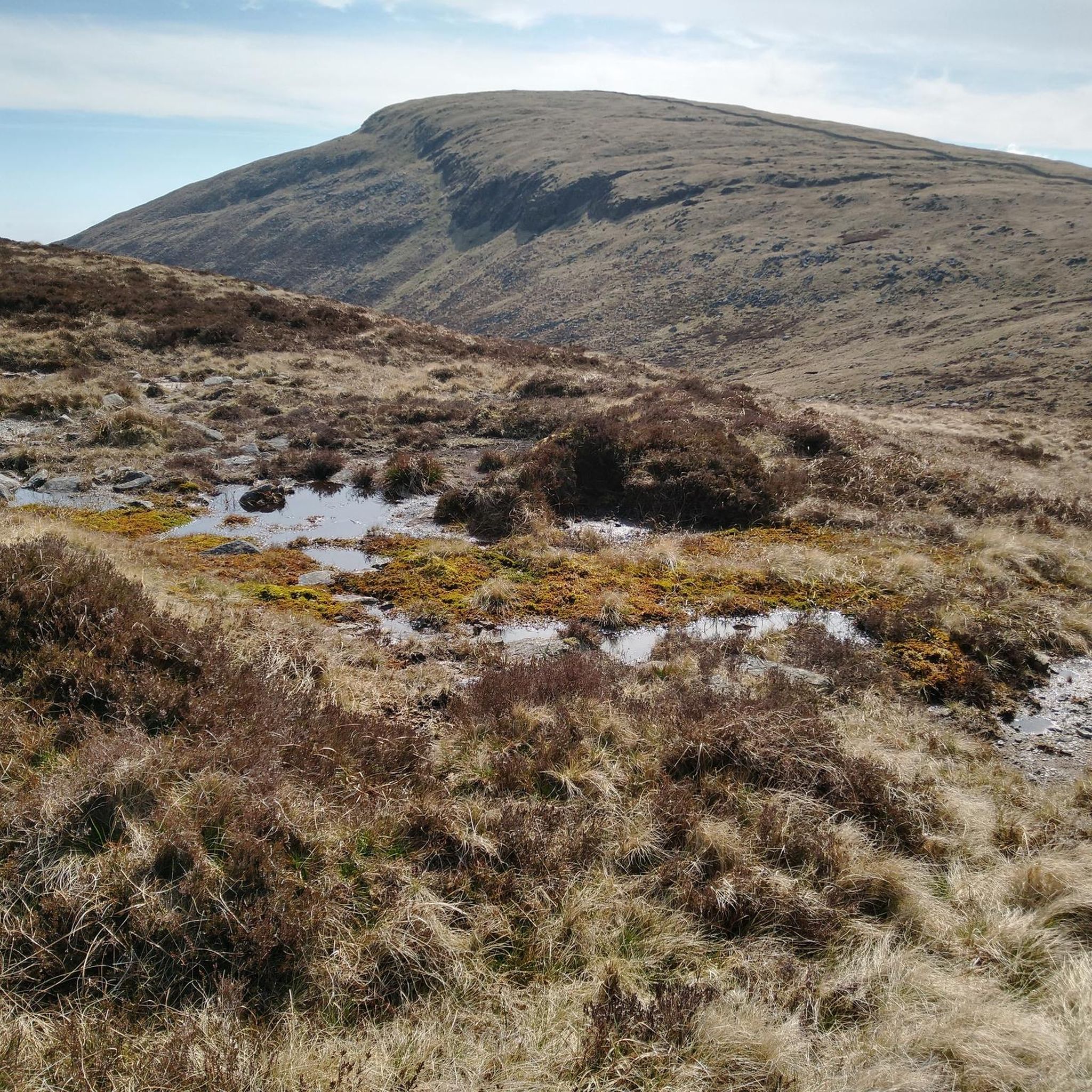
Hikes around Spelga Reservoir explore the landscape of the Mourne Mountains in County Down. The area is defined by the man-made reservoir, which sits at an elevation of over 365 meters (1,200 ft) and is surrounded by rolling hills and rugged mountain outcrops. The terrain consists of open moorland, bog, and pasture, with trails often incorporating sections of the historic Mourne Wall.
Best hiking trails around Spelga Reservoir
- The most popular hiking route is Hen Mountain – Cock Mountain loop from Upper Bann, a 7.8 mile (12.5 km) trail that takes about 4 hours 15 minutes to complete. This moderate hike involves ascents to the summits of both Hen Mountain and Cock Mountain.
- Another top favourite among local hiking enthusiasts is Slieve Doan – Mourne Wall loop from Upper Bann, a moderate 7.7 mile (12.4 km) path. The route features a climb to the summit of Slieve Doan and follows a section of the Mourne Wall.
- Local hiking enthusiasts also love the Slieve Muck from Moyad Road — Mourne, a 1.5 mile (2.4 km) trail leading through open moorland, often completed in about 1 hour 10 minutes.
- Hiking around Spelga Reservoir is defined by open moorland, rugged mountain outcrops, and paths alongside the historic Mourne Wall. The network of trails provides options for different ability levels, from short ascents to more demanding mountain loops.
- The routes in Spelga Reservoir are highly rated by the komoot community with an average score of 4.5 stars from over 750 reviews. More than 6,000 hikers have used komoot to explore Spelga Reservoir's varied terrain.
Last updated: June 25, 2026
8
hikers
12.5km
04:17
610m
610m
Moderate hike. Good fitness required. Easily-accessible paths. Suitable for all skill levels.
4.3
(3)
9
hikers
2.41km
01:10
280m
280m
Easy hike. Great for any fitness level. Easily-accessible paths. Suitable for all skill levels.

Sign up for free
4.0
(4)
16
hikers
12.8km
04:11
550m
560m
Moderate hike. Good fitness required. Easily-accessible paths. Suitable for all skill levels.
4.0
(3)
14
hikers
12.4km
04:17
660m
660m
Moderate hike. Good fitness required. Easily-accessible paths. Suitable for all skill levels.
5.0
(1)
4
hikers
8.46km
03:02
490m
490m
Moderate hike. Good fitness required. Easily-accessible paths. Suitable for all skill levels.
Get access to more routes and recommendations from other explorers.
Sign up for free
Already have an account?
Our route recommendations are based on thousands of hikes, rides, and runs completed by other people on komoot.
Start today with a free account
Your next adventure awaits.
Login or Signup
Tips from the Community

loads of stone walls The Mourne Wall is 22 miles long and consists of natural granite stone, It was built from 1904 to 1922
0
0

Slieve Loughshannagh is one of the quieter summits in the Mourne Mountains, but it rewards hikers with wide, open views over Silent Valley, Slieve Binnian, and the western Mournes. The climb isn’t too demanding, and the summit has a peaceful, windswept feel, making it a lovely spot to pause and take in the rugged beauty of the landscape.
4
0
The Mourne Wall is one of the most iconic landmarks of the Mourne Mountains, stretching for 35 kilometers across 15 summits. Built by hand in the early 20th century to enclose the Silent Valley Reservoir catchment area, it’s an impressive feat of craftsmanship and endurance. Today, hikers crossing its path are struck not only by its scale and history but also by the way it weaves naturally into the dramatic mountain landscape. Following the wall offers some of the best ridge walks in the Mournes, making it both a cultural treasure and a perfect guide for exploring these rugged peaks.
4
0
At the ruins near the summit of Carn Mountain, there’s a wooden step ladder to cross the wall
3
0
Two wooden ladders cross the wall on the way to the Silver Muck mountain peak
2
0
A wooden stile/ladder crossing the wall
3
0
Frequently Asked Questions
Are there any family-friendly walks around Spelga Reservoir?
Yes, the area offers several options suitable for families. For a very short and accessible walk, the trail to Slieve Muck from Moyad Road — Mourne is a great choice. It's a 1.5-mile (2.4 km) route through open moorland. Another popular family-friendly walk is the path around Slievenamuck, which is located right next to the main car park and offers lovely views without a strenuous climb.
Can I bring my dog on hikes near Spelga Reservoir?
Dogs are often welcome on the trails in the Mourne Mountains, but it's essential to keep them under control, especially since this is an active farming area with livestock. The open moorland terrain is great for dogs, but always be mindful of wildlife like ground-nesting birds and Irish hares. It's recommended to keep your dog on a lead.
Where can I park to start a hike at Spelga Dam?
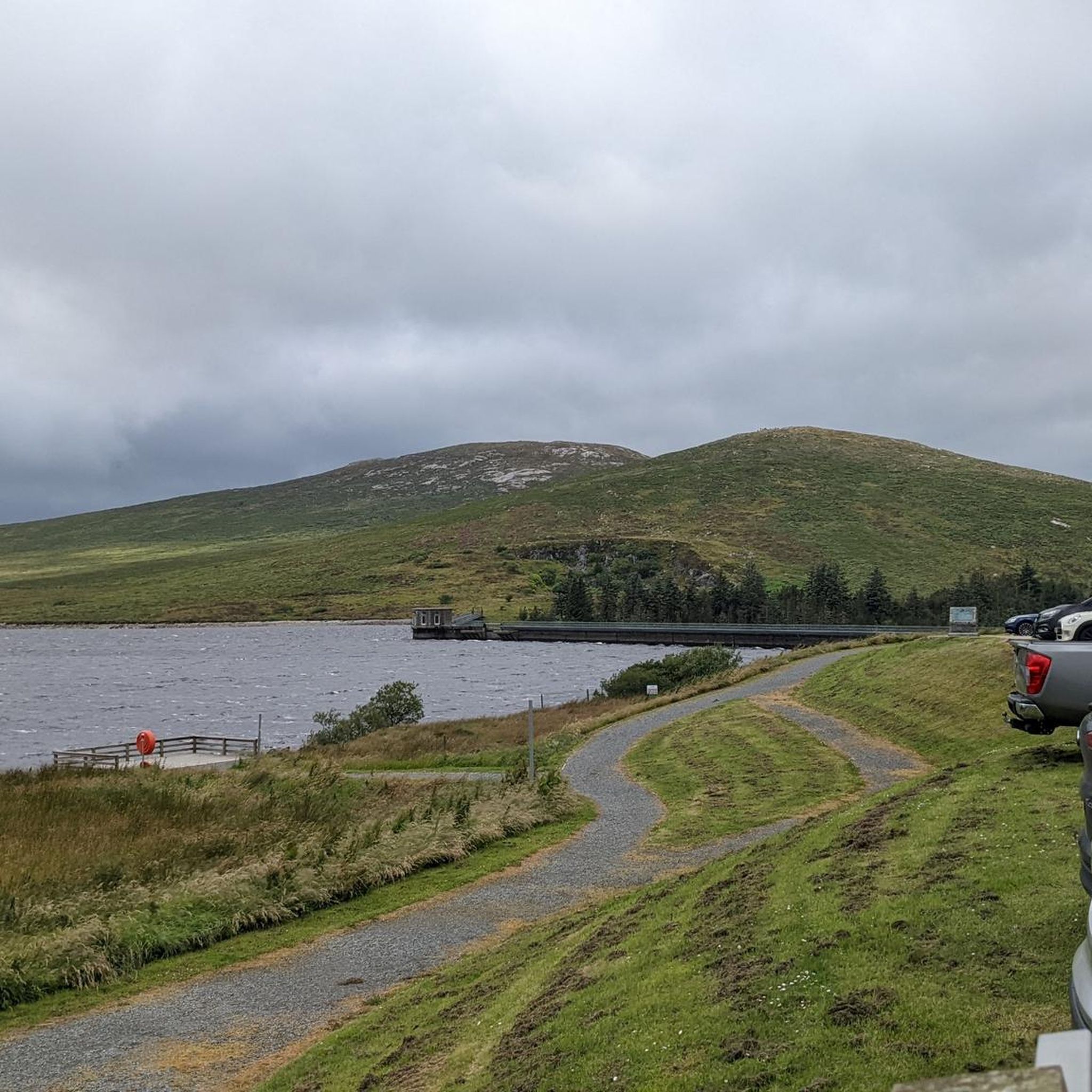
The main starting point for many hikes is the Spelga Dam Car Park, located right by the reservoir on the B27 road. This car park provides direct access to several trails and offers fantastic views across the water to the surrounding peaks. It can get busy, especially on weekends, so arriving early is a good idea.
What are the hiking conditions like in the Mournes?
The terrain around Spelga Reservoir is primarily open moorland, bog, and pasture, with trails on both clear paths and rugged, rocky ground. The weather in the Mourne Mountains can change very quickly, so it's crucial to be prepared with waterproof clothing, sturdy hiking boots, and navigation tools, even on a clear day. Many routes are exposed with little shelter.
Are there any challenging hikes for experienced trekkers?
Absolutely. For a demanding day out, the Eagle Mountain – Hen Mountain loop from Upper Bann is an excellent choice. This difficult 13.3-mile (21.3 km) route involves significant ascent and rewards hikers with panoramic views. The region has over 28 difficult-rated trails for those seeking a strenuous mountain adventure.
Can I walk along the Mourne Wall from Spelga Reservoir?
Yes, several routes incorporate sections of the historic Mourne Wall. For a long and challenging trek that follows this iconic stone wall, consider The Mourne Wall – Hare's Gap loop from Upper Bann. This 16-mile (25.6 km) hike is a serious undertaking but offers a memorable experience of the Mournes' most famous landmark.
What do other hikers think of the trails around Spelga Reservoir?
The area is highly regarded by the komoot community, with an average rating of 4.5 stars from over 750 reviews. Hikers frequently praise the stunning panoramic views of the reservoir and surrounding peaks, the sense of remoteness on the high moorlands, and the unique experience of walking alongside the historic Mourne Wall.
How many hiking trails are available near Spelga Reservoir?
There are over 115 hiking routes to explore around Spelga Reservoir. The trails range from short, easy walks suitable for families to strenuous, full-day mountain treks, with the majority being of moderate difficulty. This variety ensures there's a suitable hike for almost every fitness level and experience.
Are there any circular walks starting from the reservoir?
Yes, many of the best hikes in the area are circular routes that start and end near the reservoir. The Hen Mountain – Cock Mountain loop from Upper Bann is a popular moderate loop of about 7.8 miles (12.5 km). It takes you to the summits of two prominent peaks with rewarding views.
What are some interesting sights to see while hiking?
Besides the reservoir itself, the most famous man-made feature is the Mourne Wall, a 22-mile dry-stone wall that crosses over many of the peaks. Natural features include the rugged granite outcrops of the mountains, vast expanses of heather, and the source of the River Bann. From many summits, you can see the nearby Silent Valley Reservoir and the coastline.
Are there any cafes or facilities near the main hiking area?
Facilities at Spelga Dam itself are limited to the car park. However, a short drive away is the highly-rated Silent Valley Mountain Park, which has a large coffee shop and visitor centre explaining the history of the reservoirs. It's a great spot to visit for refreshments after a hike.
What is the 'Magic Hill' near Spelga Dam?
The 'Magic Hill' or 'Gravity Hill' is a famous local curiosity on the B27 road near the reservoir. It's a section of road where an optical illusion makes it seem as though your car is rolling uphill when you put it in neutral. It's a fun stop for visitors to the area.
Most popular routes around Spelga Reservoir

Get inspired with the komoot mobile app


Explore more
Browse the best Hikes in other regions.
