The best walks and hikes around Dielmissen
4.6
(5891)
17,135
hikers
722
hikes
Hiking around Dielmissen offers a diverse landscape characterized by rolling hills, dense woodlands, and river valleys within the Weser Uplands. The region features varied terrain, from gentle paths suitable for easy hikes Dielmissen to more challenging ascents. Many circular walks Dielmissen provide opportunities to explore natural features like cliffs and quarries.
Best hiking trails around Dielmissen
- The most popular hiking route is Königszinne Viewpoint (Bodenwerder) – Ridge Trail loop from Kirchbrak, a 11.0 miles (17.7 km) trail that takes…
Last updated: October 7, 2026
4.7
(20)
68
hikers
17.7km
05:14
510m
520m
Hard hike. Very good fitness required. Easily-accessible paths. Suitable for all skill levels.
4.7
(32)
100
hikers
15.6km
04:37
440m
440m
Moderate hike. Good fitness required. Easily-accessible paths. Suitable for all skill levels.

5.0
(7)
22
hikers
Easy hike. Great for any fitness level. Easily-accessible paths. Suitable for all skill levels.
5.0
(7)
19
hikers
Easy hike. Great for any fitness level. Easily-accessible paths. Suitable for all skill levels.
5.0
(2)
4
hikers
8.10km
02:29
290m
290m
Moderate hike. Good fitness required. Easily-accessible paths. Suitable for all skill levels.
Get access to more routes and recommendations from other explorers.
Already have an account?
Our route recommendations are based on thousands of hikes, rides, and runs completed by other people on komoot.
Start today with a free account
Your next adventure awaits.

Tips from the Community

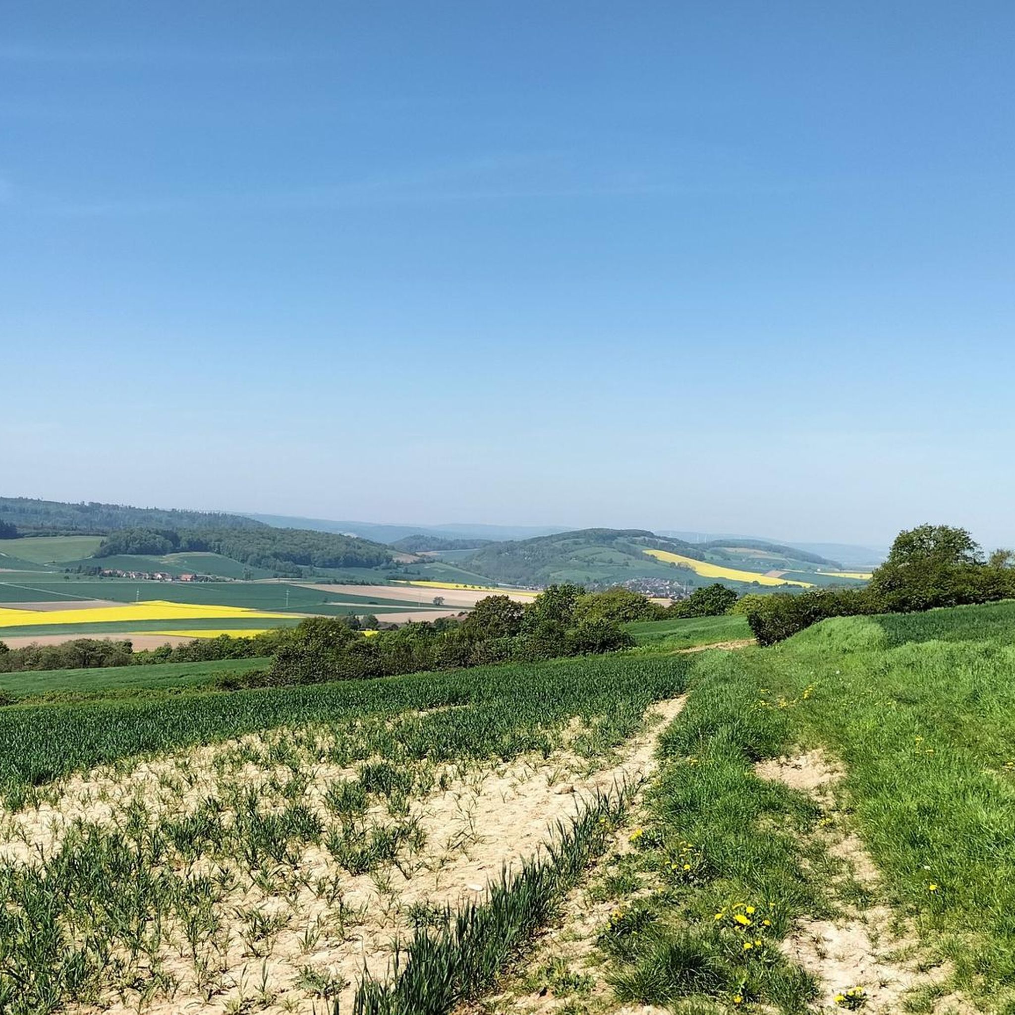
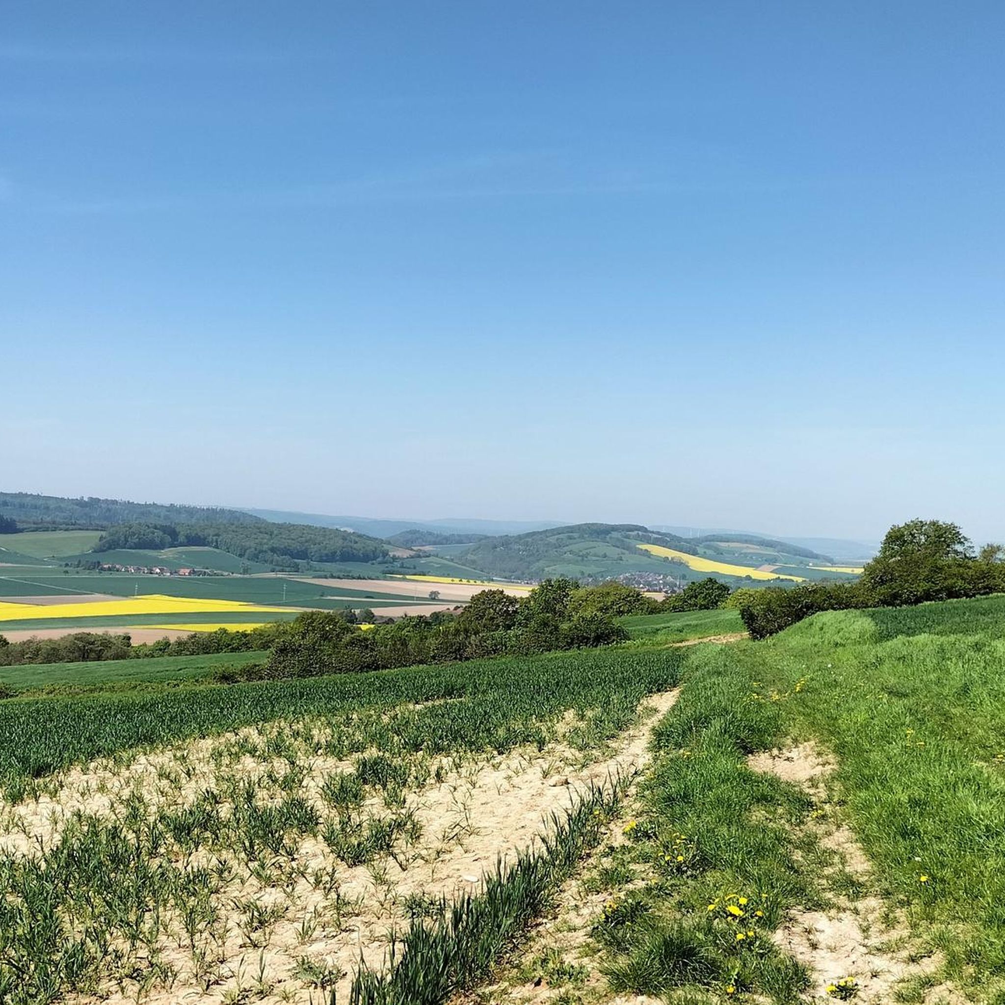
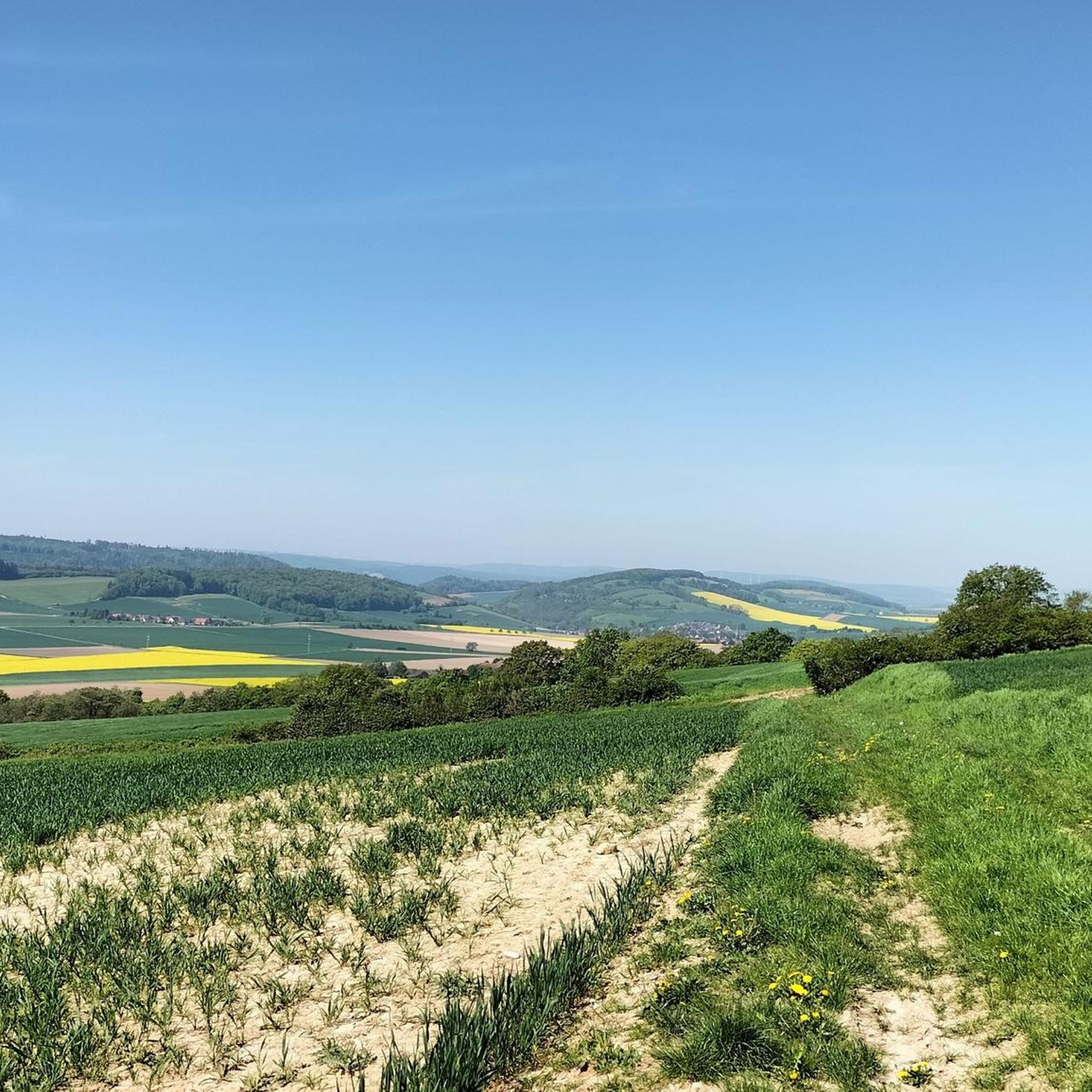
This view from here is always beautiful.
1
0

A fantastic building on the mountain with a magnificent view. The climb is well worth it.
0
0

The Ebersnacken Tower stands on the highest point of the Vogler Mountains and offers an impressive view over the Weser Uplands. From its platform, a wide panorama unfolds across forests, hills, and valleys – on a clear day, the view extends as far as the Solling, Ith, and even the Brocken in the Harz Mountains.
1
0

From the upper path, the rock head is easily accessible for hikers.
2
0

You can also enter the witches’ pulpit
1
0

The Lenne Leisure Trail is very well-maintained. The paths through the forest have been beautifully renovated, and there are several seating areas along the trail with stunning views of the river and the rock faces. The old train and the partially still-visible tracks are further highlights.
0
0

Gliders also take off from there.
0
0
Beautiful panorama, very beautiful.
0
0
Frequently Asked Questions
How many hiking trails are available around Dielmissen?
There are over 740 hiking trails around Dielmissen, offering a wide range of options for all skill levels. The region is known for its diverse landscape of rolling hills, dense woodlands, and river valleys within the Weser Uplands.
Are there easy hiking trails suitable for beginners in Dielmissen?
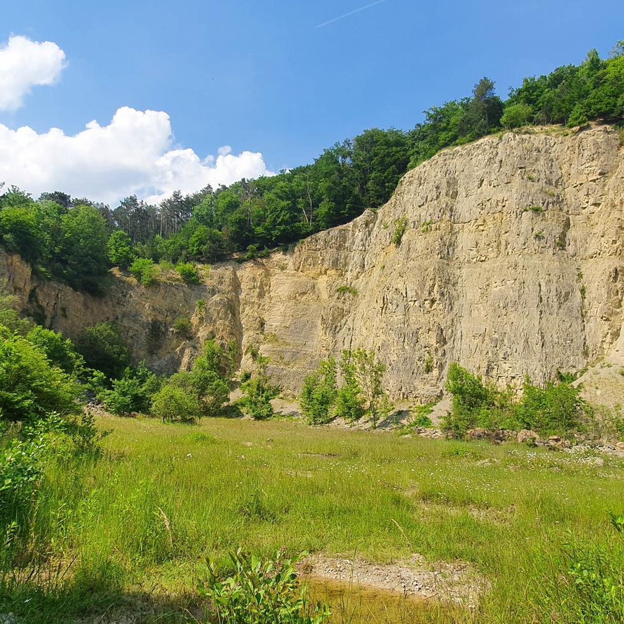
Yes, Dielmissen offers a good selection of easy hikes, with over 370 trails classified as easy. A great option for a relaxed walk is the Waterfall in the Weser Uplands – Tuchtberg Quarry loop from Dielmissen, which is 3.6 miles (5.8 km) long and takes about 1 hour 30 minutes.
Can I find circular walks in the Dielmissen area?
Absolutely. Many of the trails around Dielmissen are circular, allowing you to start and end at the same point. The region's varied terrain, including natural features like cliffs and quarries, is well-suited for loop routes.
What are some notable natural attractions or landmarks to see while hiking?
The Dielmissen area is rich in natural beauty and interesting landmarks. You can explore the distinctive rock formations of the Lüerdissen Cliffs, visit the Weser Cliffs at Steinmühle, or discover Lippold's Cave. For panoramic views, consider visiting the Ebersnacken Tower or the Löns Tower on Thüster Berg.
Are there any trails with good viewpoints in Dielmissen?
Yes, the region offers several trails with excellent viewpoints. The Königszinne Viewpoint (Bodenwerder) – Ridge Trail loop from Kirchbrak is a popular choice, providing expansive views from the ridge. The Ebersnacken Tower loop from NSG Tuchtberg also leads to a prominent viewpoint.
What is the general duration of hikes in Dielmissen?
Hike durations in Dielmissen vary widely. You can find short, easy walks like the Waterfall in the Weser Uplands loop, which takes about 1 hour 30 minutes. Longer, more challenging routes, such as the Königszinne Viewpoint Ridge Trail loop, can take over 5 hours to complete.
What do other hikers enjoy most about Dielmissen's trails?
The trails in Dielmissen are highly regarded by the komoot community, with an average rating of 4.6 stars from over 4,900 reviews. Hikers often praise the region's diverse scenery, including dense woodlands, river valleys, and distinctive rock formations, as well as the well-maintained paths suitable for various ability levels.
Are there any trails that pass by a waterfall?
Yes, the Waterfall in the Weser Uplands – Tuchtberg Quarry loop from Dielmissen is a specific trail that leads past a waterfall, offering a refreshing natural feature along the route.
Are there any specific trails that are good for families with children?
For families, the easier and shorter trails are generally recommended. The Tuchtberg Quarry – Waterfall in the Weser Uplands loop from Kirchbrak is an easy 3.4-mile (5.5 km) route that takes around 1 hour 25 minutes, making it suitable for a family outing.
What is the best time of year to go hiking in Dielmissen?
The Weser Uplands, including Dielmissen, are beautiful year-round. Spring brings blooming wildflowers, summer offers lush greenery, and autumn showcases vibrant fall foliage. Even in winter, the woodlands can be serene, though some paths might be muddy or icy. Always check local weather conditions before heading out.
Are there any hidden gems or less-known trails worth exploring?
While many trails are popular, the vast network of over 740 routes means there are always quieter paths to discover. Look for trails that venture deeper into the dense woodlands or explore the less frequented sections of the river valleys for a more secluded experience.
Most popular routes around Dielmissen
Most popular attractions around Dielmissen

Get inspired with the komoot mobile app


Explore more
Browse the best Hikes in other regions.
