The best road cycling routes around Schlabendorfer Lake
4.6
(93)
526
riders
65
rides
Road cycling around Schlabendorfer Lake offers a unique experience through a landscape transformed from a former opencast mine into a re-naturalized recreational area. The region, part of the Niederlausitzer Landrücken, features a blend of reclaimed industrial sites and burgeoning natural features. Predominantly paved paths make the area well-suited for road cycling, connecting small villages and offering routes through diverse terrain. This area provides a compelling destination for road cyclists seeking varied routes across a distinctive landscape.
Best road cycling routes…
Last updated: July 1, 2026
5
riders
Easy road ride. Great for any fitness level. Mostly well-paved surfaces and easy to ride.
30
riders
22.7km
01:17
110m
110m
Moderate road ride. Great for any fitness level. Some segments of this route may be unpaved and difficult to ride.

Sign up for free
4.0
(2)
22
riders
Moderate road ride. Great for any fitness level. Some segments of this route may be unpaved and difficult to ride.
4.7
(3)
26
riders
Easy road ride. Great for any fitness level. Mostly well-paved surfaces and easy to ride.
11
riders
85.5km
03:38
400m
400m
Moderate road ride. Good fitness required. Some segments of this route may be unpaved and difficult to ride.
Get access to more routes and recommendations from other explorers.
Sign up for free
Already have an account?
Our route recommendations are based on thousands of hikes, rides, and runs completed by other people on komoot.
Start today with a free account
Your next adventure awaits.
Login or Signup
Tips from the Community

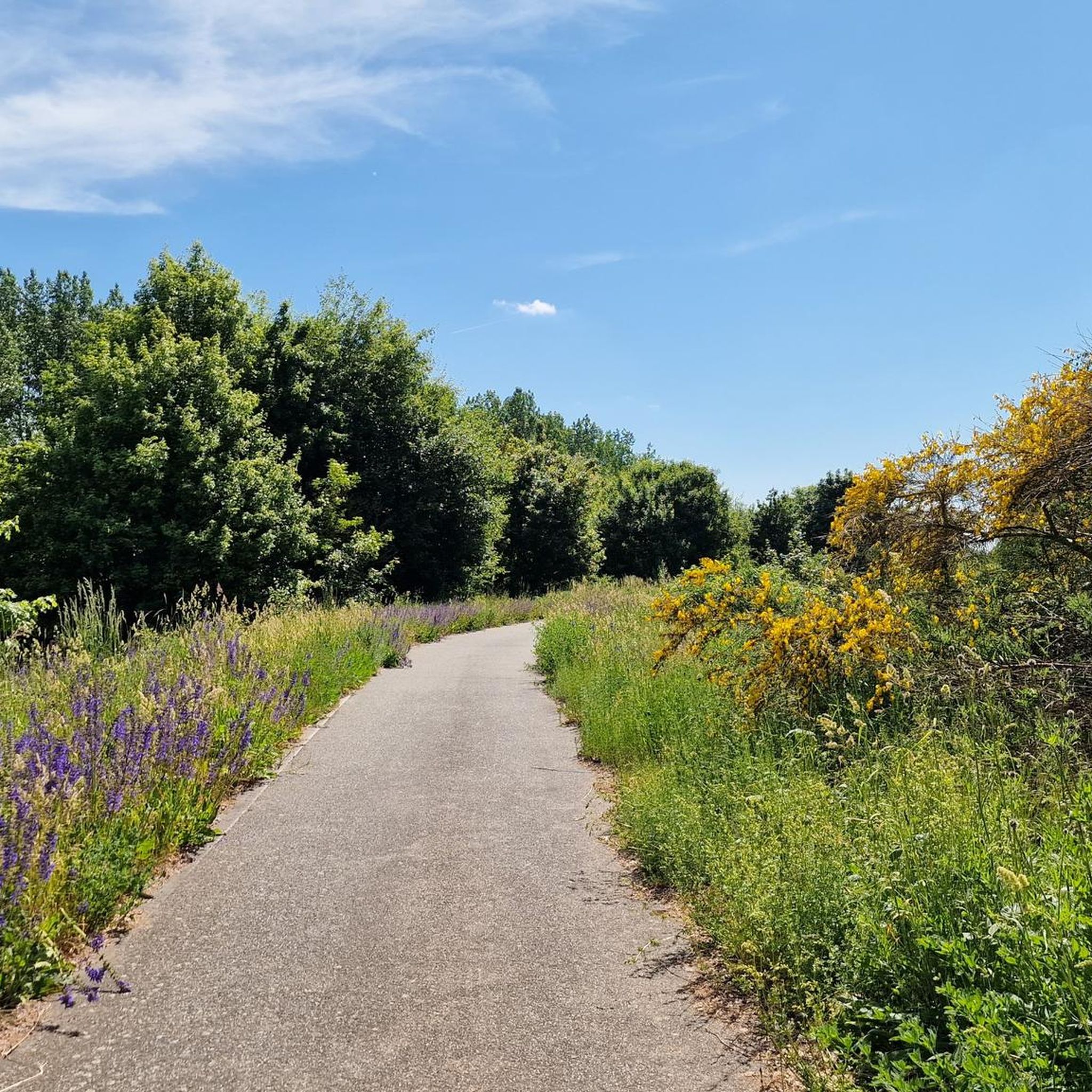
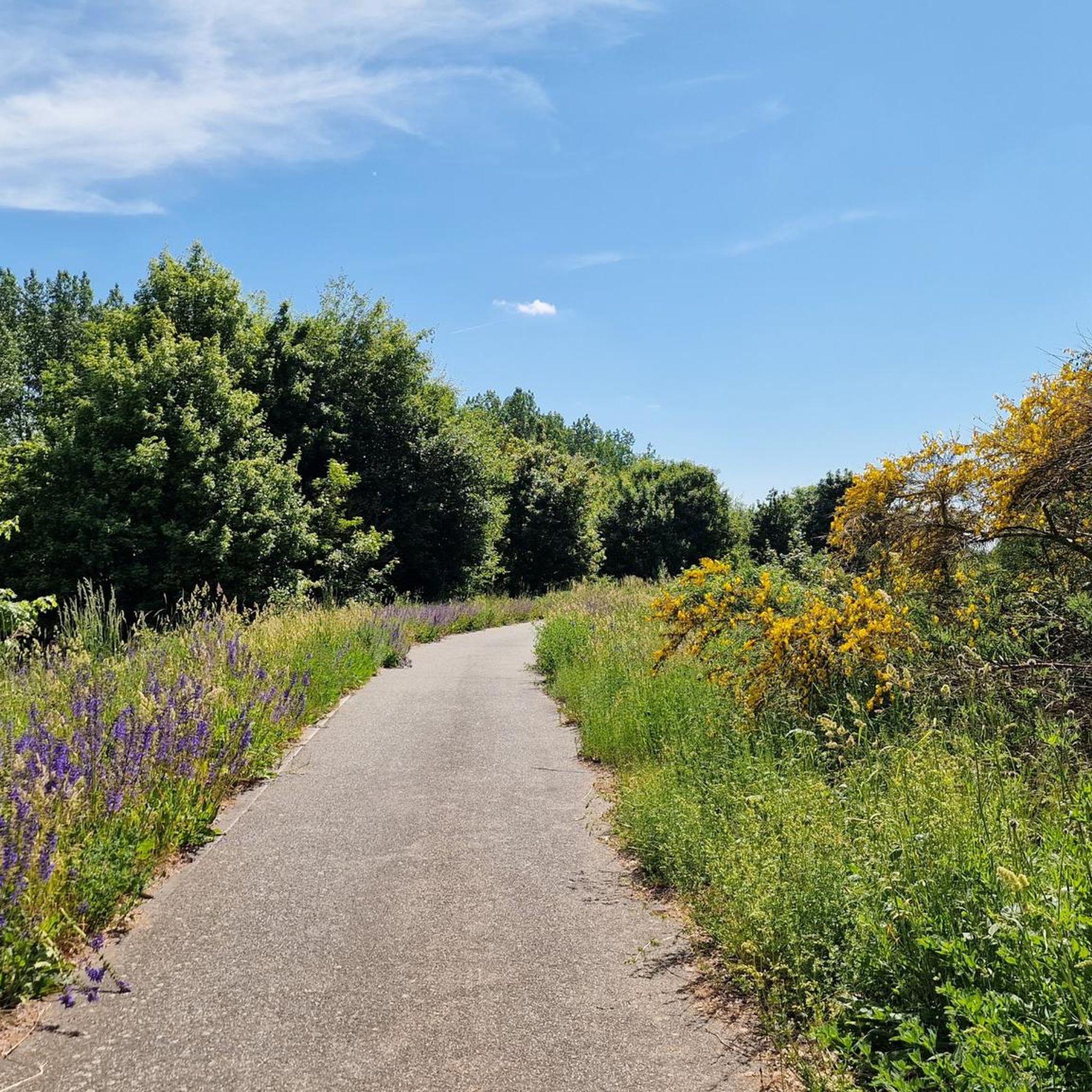
Little traffic and the best asphalt allow you to roll well on this section.
0
0

Privately owned since 2025. Cannot be visited. There is also no restaurant or cafe. But the castle park is open to visitors.
0
0


The Protestant village church of Beesdau is a fieldstone church in Beesdau, a district of the municipality of Heideblick in the Dahme-Spreewald district in the state of Brandenburg. The parish belongs to the Lower Lusatia church district of the Evangelical Church of Berlin-Brandenburg-Silesian Upper Lusatia.
1
0

Easy to drive road, traffic is limited.
0
0

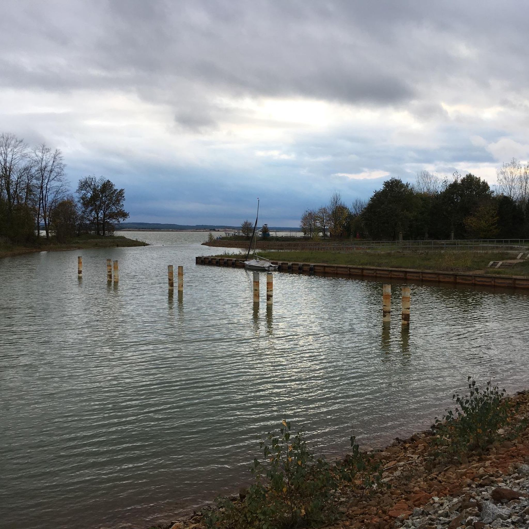
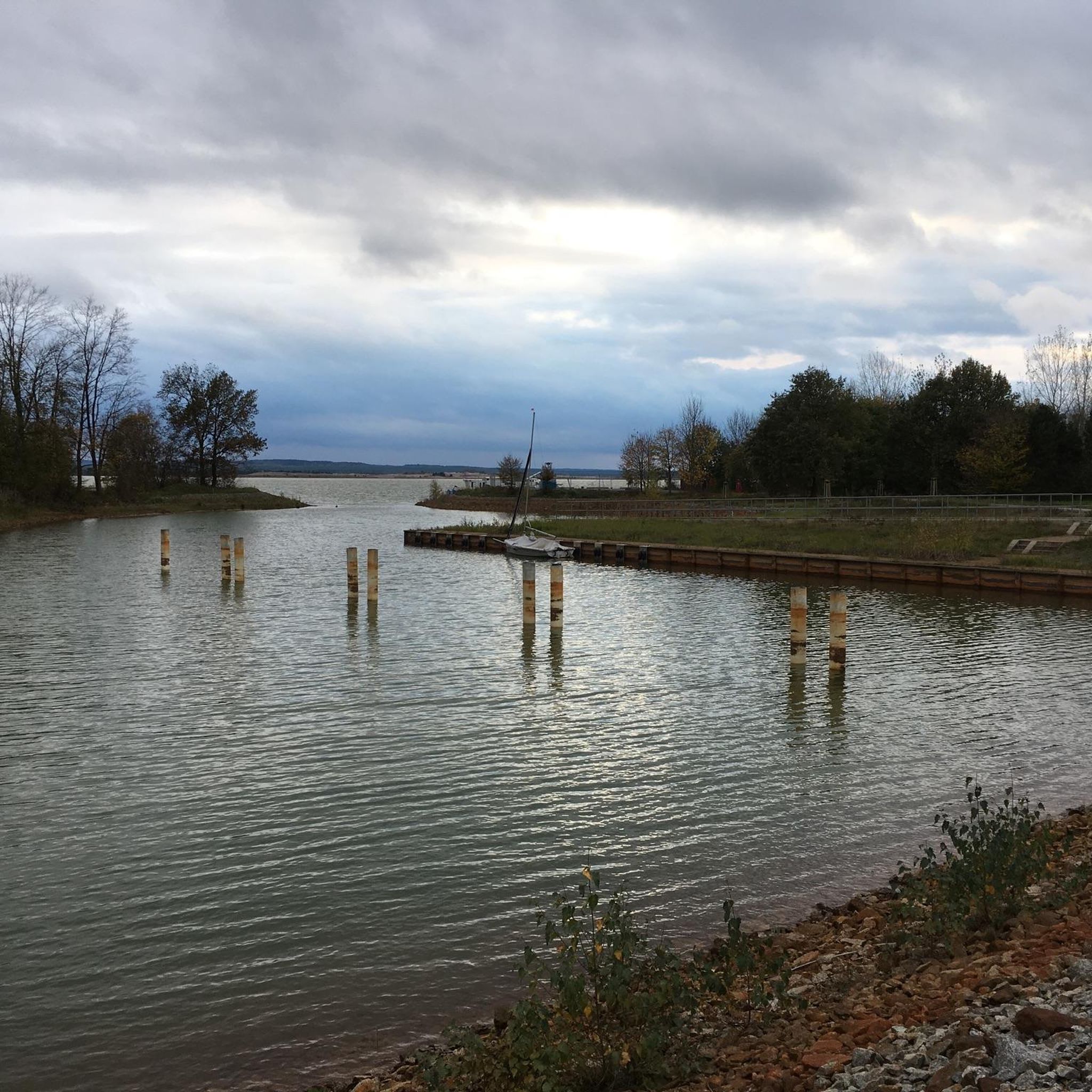
The bike ride to Körper Teich is worthwhile at any time of year. Unfortunately, there are no refreshment options anywhere.
1
0

Quiet road, easy to drive
1
0

Quiet county road between Breitenau and Gröbitz with good asphalt
1
0
Frequently Asked Questions
What kind of terrain can I expect on road cycling routes around Schlabendorfer Lake?
The road cycling routes around Schlabendorfer Lake primarily feature predominantly paved paths, making them ideal for road bikes. You'll experience a unique landscape transformed from a former opencast mine, now re-naturalized with a blend of reclaimed industrial sites and burgeoning natural features. Routes often connect small villages and traverse diverse terrain, including rural roads and areas showcasing the region's industrial past alongside its natural recovery.
Are there routes suitable for beginners or families with children?
Yes, the area around Schlabendorfer Lake offers routes for various fitness levels. While many routes require good basic fitness, there are options categorized as easy, making them suitable for beginners or families. For example, the Fürstlich Drehna Castle – Buckow Village Church loop from Fürstlich Drehna is an easy 18.6-mile route connecting historical sites through rural areas.
What are some interesting sights or landmarks to see along the road cycling routes?
The region offers a mix of natural beauty and historical points of interest. You can explore the unique landscape of Schlabendorfer Lake itself, which is a significant spot for birdwatching. Notable attractions that can be incorporated into your rides include Schloss Beesdau and the Drehnaer Weinberg. You might also encounter scenic viewpoints like the View of the Lake in Niederlausitzer Landrücken, offering pleasant stops during your ride. The Marina Schlabendorf am See also serves as a recreational center.
What is the best time of year for road cycling around Schlabendorfer Lake?
The area is generally pleasant for cycling during the warmer months, from spring through early autumn. This allows you to fully enjoy the diverse landscapes and observe migratory birds like cranes and geese, which use the lake as a popular roosting place. The paved paths are accessible in most conditions, but checking local weather forecasts is always recommended.
Are there any dog-friendly cycling routes around Schlabendorfer Lake?
While the routes themselves are generally open, it's important to consider local regulations regarding dogs, especially in nature protection areas. Many of the rural roads and paths are suitable for cycling with a well-behaved dog on a leash, but always ensure your dog is comfortable with the distance and terrain. Remember to carry water for your pet and clean up after them.
How long are the road cycling routes typically around Schlabendorfer Lake?
The routes vary in length to suit different preferences. For instance, the Bornsdorf Village Church – Village Church Beesdau loop from Bornsdorf is a moderate 14.3-mile path, while the Cycle Path by Stoßdorfer See – Bathow to Kittlitz Road loop from Mallenchen - Jazorce extends to 24.3 miles. You'll find a good range of options, from shorter loops to longer excursions, with the majority being between 14 and 25 miles.
What do other road cyclists enjoy most about cycling in this region?
The road cycling routes around Schlabendorfer Lake are highly rated by the komoot community, with an average score of 4.7 stars from over 70 reviews. Cyclists often praise the unique blend of re-naturalized industrial landscapes and natural features, the predominantly paved paths ideal for road bikes, and the opportunity to explore charming small villages and historical sites.
Are there any cafes or places to stop for refreshments along the routes?
While specific cafes are not listed for every route, the presence of small villages like Wilmersdorf and Stöbritz along the routes suggests opportunities for finding local establishments. The Marina Schlabendorf am See also serves as a recreational center, which may offer refreshment options. It's advisable to check ahead for opening times, especially in smaller communities.
Can I find circular road cycling routes around Schlabendorfer Lake?
Yes, many of the road cycling routes in the area are designed as loops, allowing you to start and end at the same point. Examples include the Fürstlich Drehna Castle – Buckow Village Church loop from Fürstlich Drehna and the Zinnitz Castle – Schlabendorfer Lake loop from Töpfermarkt Chrinitz. These circular routes are convenient for exploring the region without needing to retrace your steps.
What are the elevation changes like on the road cycling routes?
The region around Schlabendorfer Lake is generally characterized by gentle elevation changes, making it accessible for a wide range of cyclists. For example, routes like the Fürstlich Drehna Castle – Buckow Village Church loop from Fürstlich Drehna have an elevation gain of around 100 meters over nearly 30 kilometers, indicating a relatively flat to gently rolling terrain. This makes for enjoyable road cycling without overly strenuous climbs.
Are there any specific parking areas for cyclists near the routes?
While specific parking areas are not detailed for every starting point, many routes begin from villages or known attractions, where public parking is typically available. For instance, routes starting 'from Fürstlich Drehna' or 'from Bornsdorf' imply parking options in those locations. It's recommended to check the starting point of your chosen route on komoot for more precise parking information.
Is public transport available to reach the cycling routes, and can I bring my bike?
The region is part of the Niederlausitzer Landrücken, and while public transport options exist to reach some of the villages, specific information on bike transport availability on buses or trains would need to be checked with local transport providers. Generally, regional trains often allow bikes, but buses might have restrictions. Planning your journey in advance is advisable.
Most popular routes around Schlabendorfer Lake
Most popular attractions around Schlabendorfer Lake

Get inspired with the komoot mobile app


Explore more
Browse the best Road cycling routes in other regions.
