The best walks and hikes around Habermannsee
4.5
(10542)
52,759
hikers
1,963
hikes
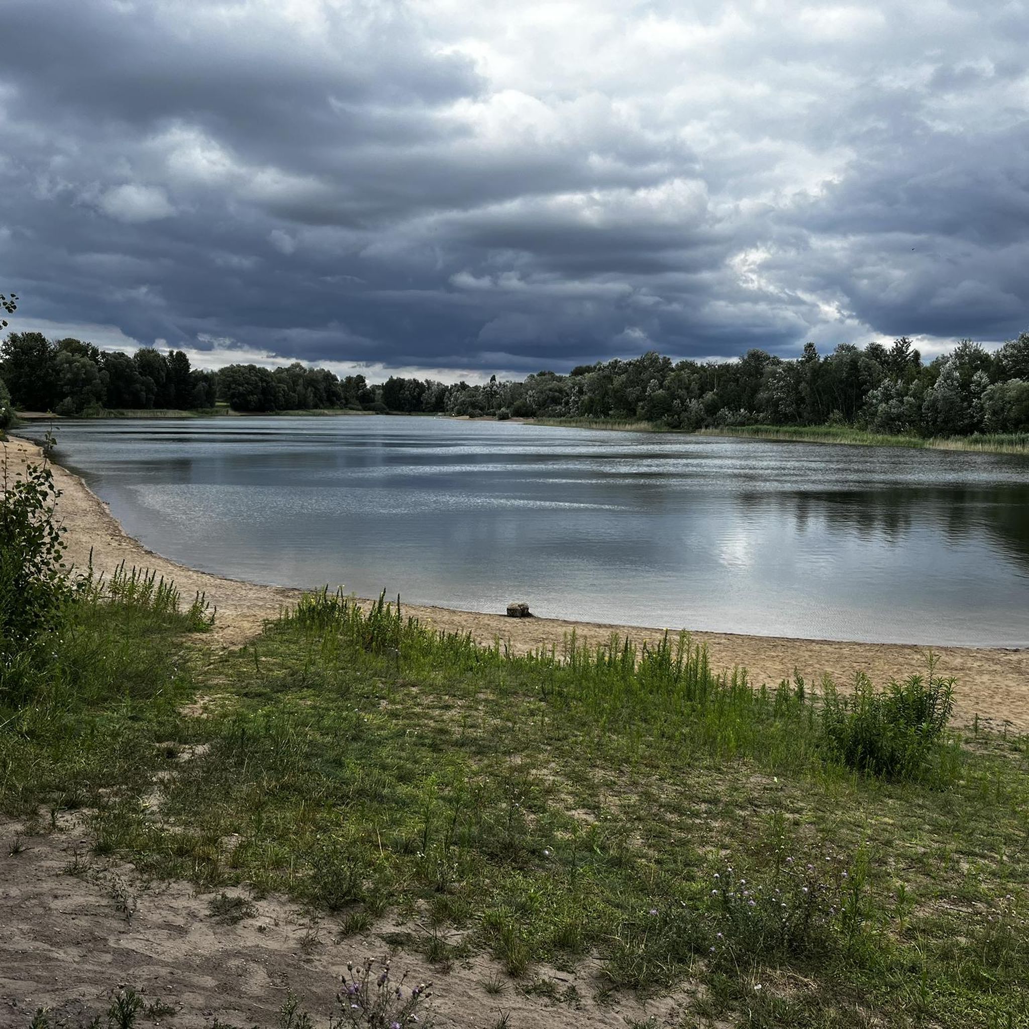
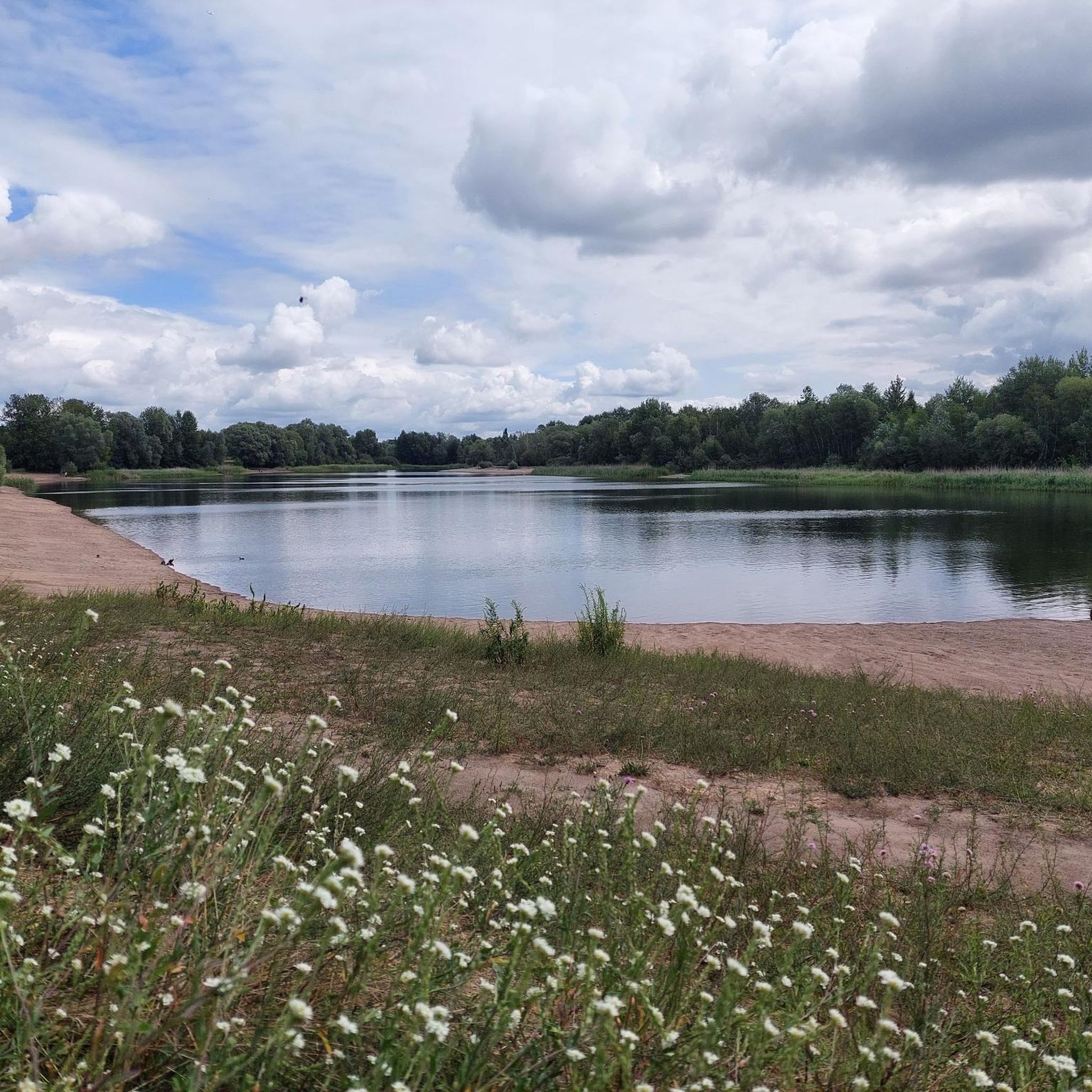
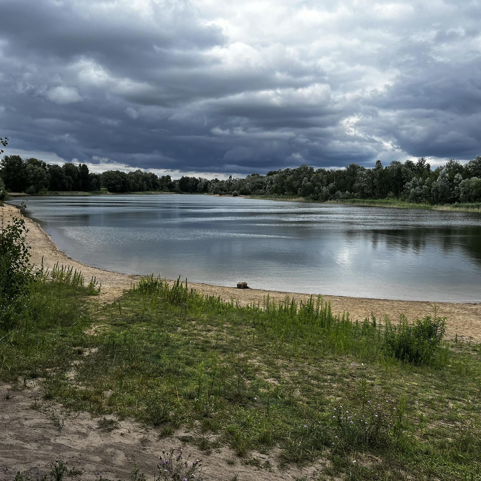
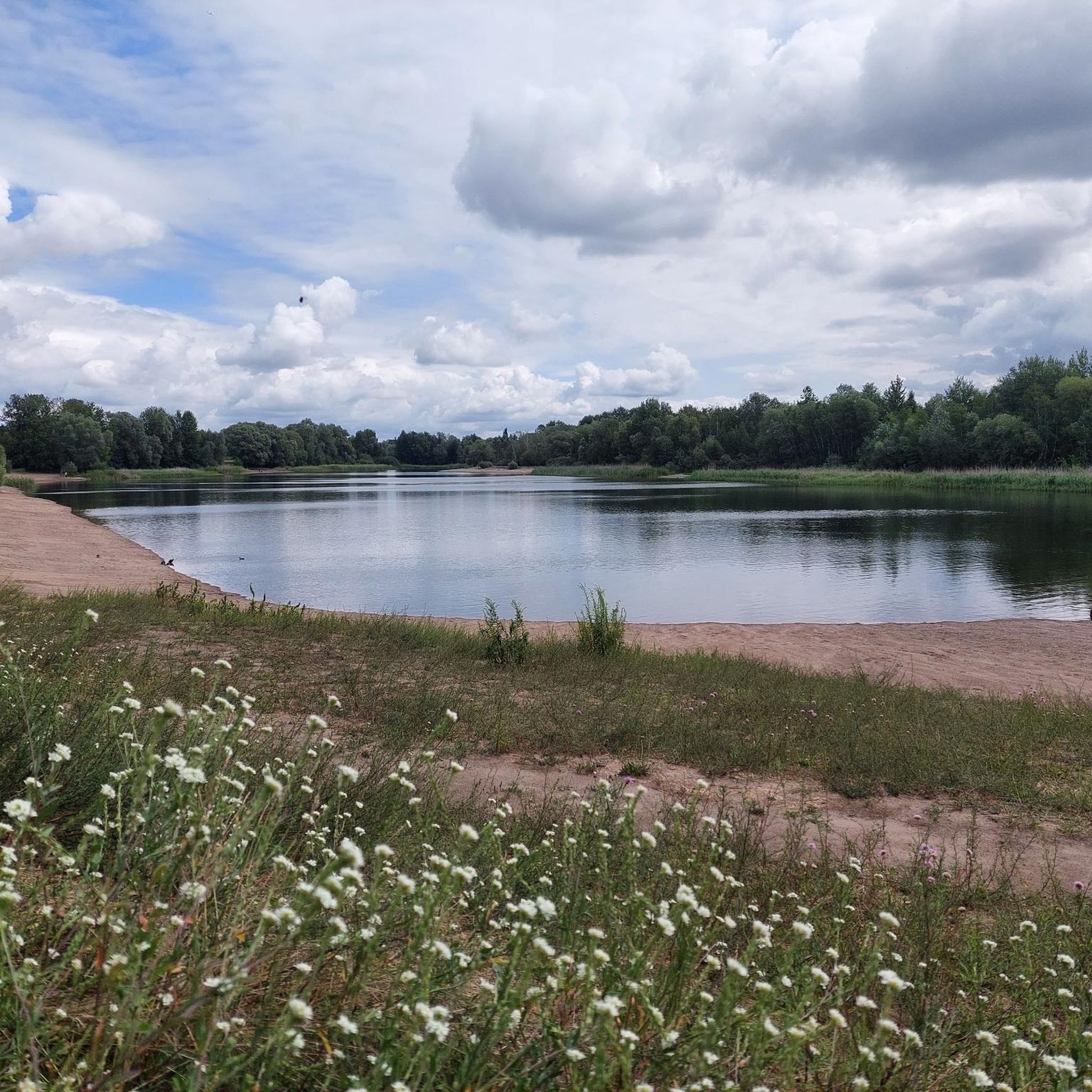
Hiking around Habermannsee offers varied landscapes within the urban periphery of Berlin. This area is characterized by its natural swimming lake, sandy beaches, and surrounding forests, forming part of the Kaulsdorf lakes nature reserve. The terrain features mostly flat paths around the lake and through adjacent wooded areas, providing accessible trails for various fitness levels.
Best hiking trails around Habermannsee
- The most popular hiking route is Habermannsee – Lake Habermann loop from LSG Kaulsdorfer Seen, a 1.8 miles (2.9…
Last updated: May 23, 2026
5.0
(3)
26
hikers
2.67km
00:41
10m
10m
Easy hike. Great for any fitness level. Easily-accessible paths. Suitable for all skill levels.
4.9
(80)
288
hikers
6.05km
01:32
20m
20m
Easy hike. Great for any fitness level. Easily-accessible paths. Suitable for all skill levels.

Sign up for free
4.5
(40)
117
hikers
6.14km
01:33
10m
10m
Easy hike. Great for any fitness level. Easily-accessible paths. Suitable for all skill levels.
4.3
(4)
41
hikers
Moderate hike. Good fitness required. Easily-accessible paths. Suitable for all skill levels.
4.7
(6)
28
hikers
Moderate hike. Good fitness required. Easily-accessible paths. Suitable for all skill levels.
Get access to more routes and recommendations from other explorers.
Sign up for free
Already have an account?
Our route recommendations are based on thousands of hikes, rides, and runs completed by other people on komoot.
Start today with a free account
Your next adventure awaits.
Login or Signup

Tips from the Community

The small bathing area is called Butzer See NORTH. Here you will also find some rescue equipment such as a lifebuoy and ladder (the latter for rescuing people from the ice) as well as a board with emergency numbers.
0
0

I'm sorry, heads of state, I deliberately let my dog run across the street again!!! I'll do my best to make sure it doesn't happen again! Oh, and I'm also sorry for all of you that I now HAVE to finally back down so that the professional community can continue working without disruptive people like me!!! I guess I'm a dog myself, oops!!!
0
0

"Lifebuoy" – marked as a highlight. Perfect if you accidentally sit in the water and want to test the feature live. Apparently, it's not how spectacular a place is that counts, but how you can become a pioneer with lots of likes.
0
0

Very nice during the week. It can get crowded on weekends.
0
0
Very nice but very crowded on weekends and lots of party
0
0

Be careful on the banks, danger of collapse!
0
0

On the right side, Lake Butzer is overgrown with reeds and fenced off at the top. Swimming areas are freely accessible at both the top and bottom. As of 2025.
0
0

Large shelter in the Erpetal with several benches and a table.
0
0
Frequently Asked Questions
What kind of terrain can I expect on hiking trails around Habermannsee?
The trails around Habermannsee are generally characterized by mostly flat paths. You'll find yourself walking around the natural swimming lake, along sandy beaches, and through surrounding forested areas. The region is part of the Kaulsdorf lakes nature reserve, offering accessible trails suitable for various fitness levels.
Are there many hiking options available in the Habermannsee area?
Yes, the Habermannsee area offers a wide variety of hiking options. There are over 200 routes available, catering to different preferences and skill levels. This includes many easy loops, as well as more challenging routes for experienced hikers.
Are there any circular walks around Habermannsee?
Yes, circular walks are a popular feature of the Habermannsee area. Many trails are designed as loops, allowing you to start and end at the same point. For example, the Habermannsee – Lake Habermann loop from LSG Kaulsdorfer Seen is an easy 1.8-mile (2.9 km) loop that offers great views of the lake.
Can I combine a hike around Habermannsee with other nearby lakes?
Absolutely. Many routes in the area connect Habermannsee with other natural features. You can explore trails that link to nearby lakes like Butzer See. A good option is the Lake Habermann – Small beach at Butzer See loop from Kaulsdorf, which is an easy 3.9-mile (6.2 km) path featuring diverse lakeside scenery.
What do other hikers say about the trails in Habermannsee?
The hiking trails in Habermannsee are highly regarded by the komoot community, with an average score of 4.5 stars from over 10,000 reviews. Hikers often praise the natural beauty of the lakes, the clear water, and the peaceful forested paths that make for a relaxing outdoor experience.
Are the hiking trails around Habermannsee suitable for families with children?
Yes, many of the trails around Habermannsee are well-suited for families. The predominantly flat terrain and numerous easy, shorter loops make them accessible for all ages. The natural setting with sandy beaches and clear water also provides opportunities for children to enjoy nature.
Is Habermannsee accessible by public transport, and are there parking options?
Habermannsee is easily accessible by public transport, with the Kaulsdorf S-Bahn station located nearby. For those arriving by car, there are also parking options available, making it convenient to reach the trailheads.
What are the best times of year to go hiking around Habermannsee?
Habermannsee offers a picturesque view throughout the year. In warmer months, the clear water and sandy beaches are inviting, while the surrounding forests provide shade. Even in winter, the lake and its vegetation offer a beautiful landscape for hiking. The area is generally enjoyable in all seasons, depending on your preference for weather and activities.
Are there any longer or more challenging hikes available in the Habermannsee region?
While many trails are easy, the region also offers more challenging options. For instance, the The Erpe at Heidemühle – View over the Erpetal loop from Kaulsdorf Süd is a difficult 24.3-kilometer (15.1 miles) route that takes over six hours to complete, extending into the Erpetal for a more demanding experience.
Can I bring my dog on the hiking trails around Habermannsee?
The Habermannsee area is generally dog-friendly, offering natural paths through forests and around the lake that are suitable for walks with your canine companion. As part of a nature reserve, it's always recommended to keep dogs on a leash and respect local regulations to protect wildlife and other visitors.
What natural features or landmarks can I expect to see while hiking around Habermannsee?
While hiking around Habermannsee, you'll encounter a beautiful natural swimming lake with clear water and sandy beaches. The area is part of the 95-hectare Kaulsdorf lakes nature reserve, which also includes Elsensee and Butzer See. You'll see natural elements like reeds, bushes, and surrounding forests, providing a serene natural retreat.
How long do hikes around Habermannsee typically take?
Hikes around Habermannsee vary in length and duration. Many easy, short loops can be completed in about 45 to 90 minutes, covering 3 to 7 kilometers. Longer routes, such as the The Erpe at Heidemühle – View over the Erpetal loop from Mahlsdorf, can extend up to 11.9 kilometers (7.4 miles) and take several hours, offering options for different time commitments.
Most popular routes around Habermannsee

Get inspired with the komoot mobile app


Explore more
Browse the best Hikes in other regions.
