The best running trails around North Grosvenor Dale
28
runners
10
runs
Jogging routes around North Grosvenor Dale traverse a landscape characterized by gently sloping valleys, wooded hills, and rural settings. The French River and North Grosvenor Dale Pond are central natural features, contributing to the area's riverine ecosystems. This region, part of the Last Green Valley National Heritage Corridor, offers a mix of deciduous woodlands and open spaces, providing a scenic and accessible environment for running. The terrain is generally less strenuous, making it suitable for a variety of jogging experiences.
…Last updated: June 27, 2026
1
runners
11.1km
01:21
100m
100m
Moderate run. Good fitness required. Mostly paved surfaces. Suitable for all skill levels.
10
runners
5.41km
00:34
30m
30m
Moderate run. Good fitness required. Mostly paved surfaces. Suitable for all skill levels.

Sign up for free
5
runners
7.74km
00:56
50m
50m
Moderate run. Good fitness required. Mostly paved surfaces. Suitable for all skill levels.
5
runners
5.04km
00:36
30m
30m
Moderate run. Good fitness required. Mostly paved surfaces. Suitable for all skill levels.
3
runners
8.07km
00:50
60m
60m
Moderate run. Good fitness required. Mostly paved surfaces. Suitable for all skill levels.
Get access to more routes and recommendations from other explorers.
Sign up for free
Already have an account?
Our route recommendations are based on thousands of hikes, rides, and runs completed by other people on komoot.
Start today with a free account
Your next adventure awaits.
Login or Signup
Popular around North Grosvenor Dale

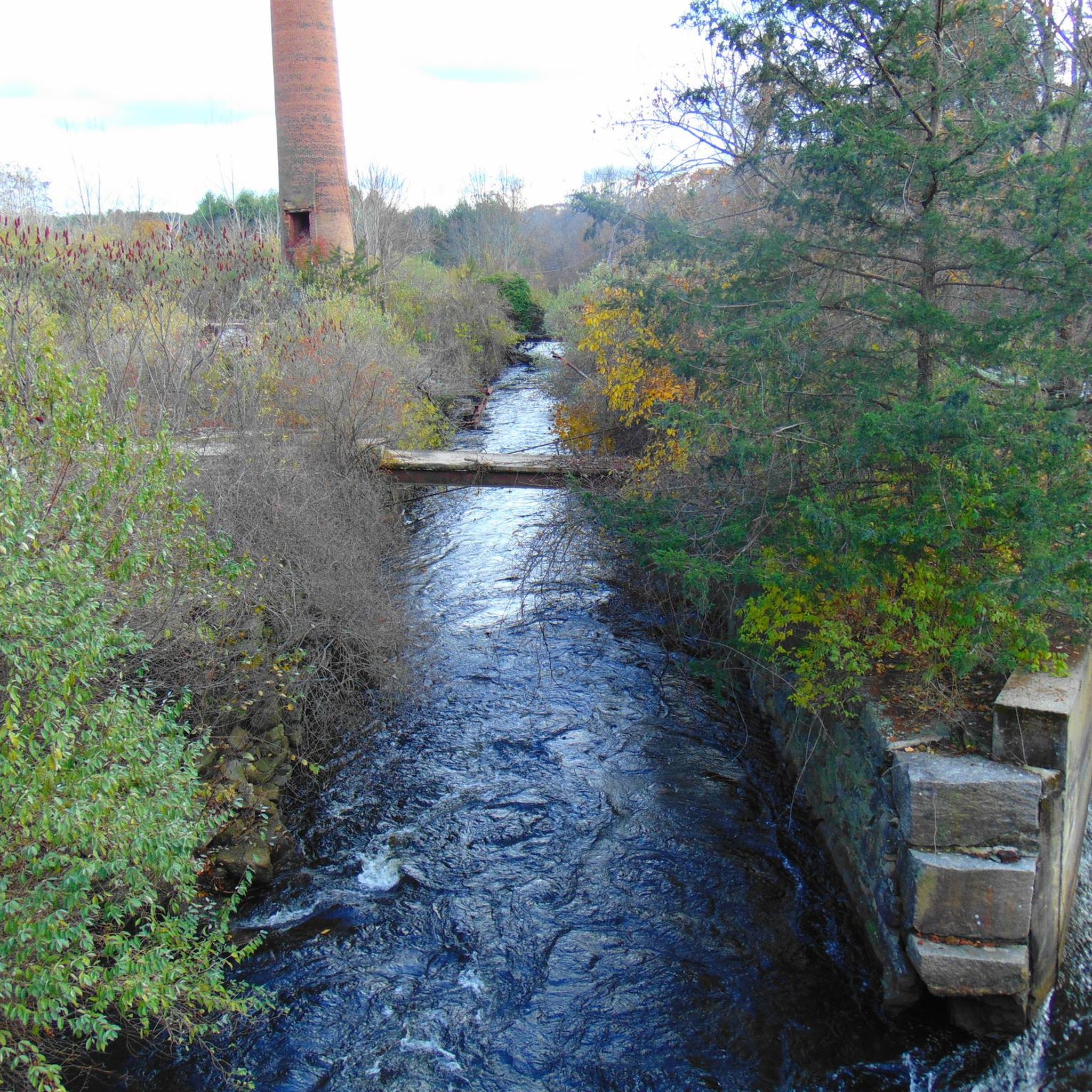
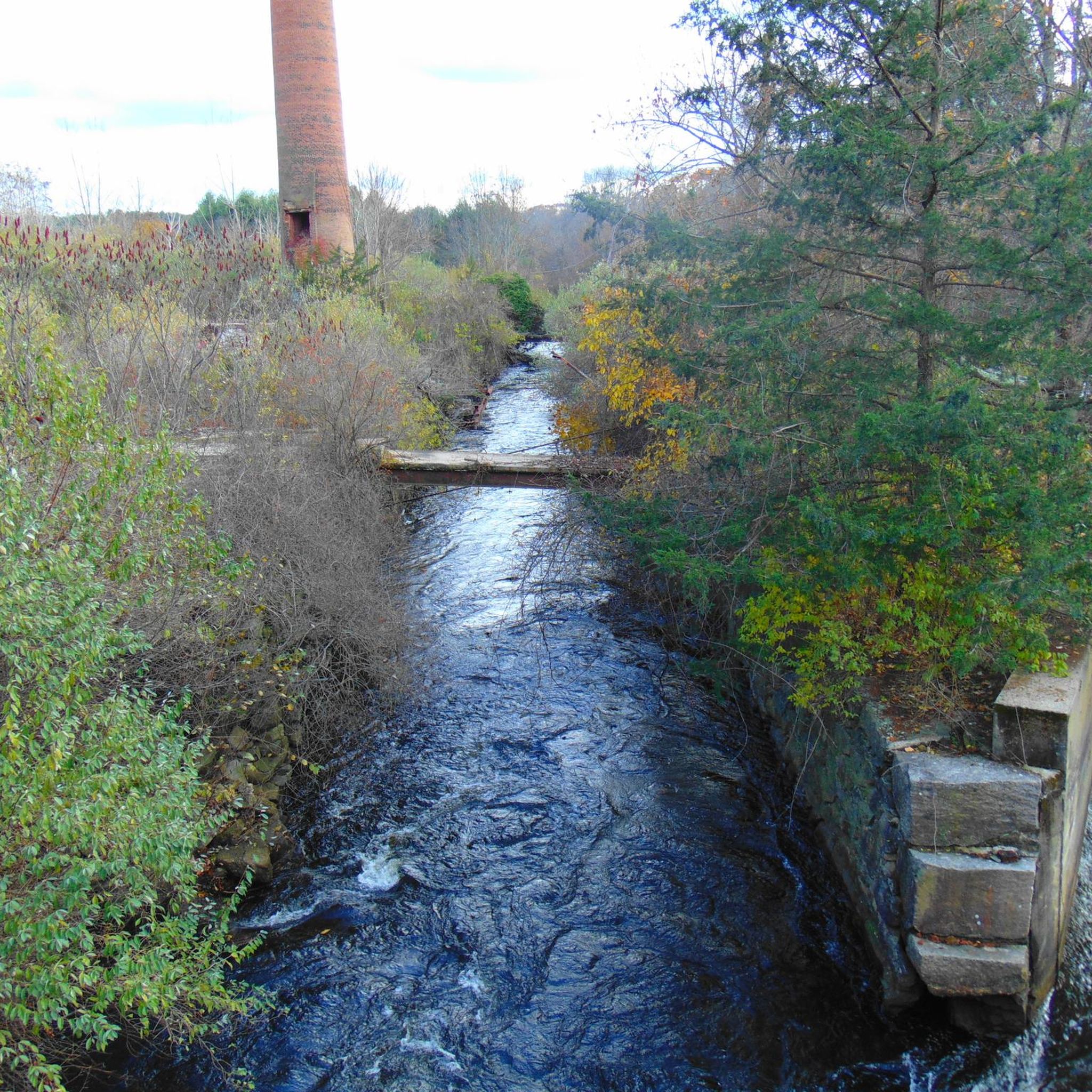
Tips from the Community

Depending on the route you take last part of the trail can be considered a moderate hike.
1
0

The northern section of the Air Line Trail is particularly captivating, featuring an old bridge and the intriguing "Hermit Cave," and culminating at the tri-point marker where Connecticut, Massachusetts, and Rhode Island meet. This boundary is identified by a 4-foot granite monument (with an additional 5 feet underground) situated in a small hilltop clearing. The marker, 14 inches square with a 6-inch pyramidal top, is inscribed with "MASS 1883" on the north side, "R.I. 1883" on the south, and "CONN" on the west—Connecticut's side lacks a date due to disagreements over the boundary. This monument was installed by a commission from Massachusetts and Rhode Island in late 1883.
0
0

Explore a 200-acre lake with 24 campsites, a boat launch, picnic shelters, a disc golf course, and plenty of trails. Join the Rangers for a guided nature walk during Walktober and take in the start of fall foliage while learning some cool trail facts!
1
0

This granite monument marks the border of Connecticut, Massachusetts and Rhode Island. It was set over 130 years ago. The mountain bike trails in the area are great too.
1
0
Spanning 239 acres, this lake is great for paddling and fishing. The dam was built by the US Army Corps of Engineers in 1965, its capacity stands at 342 million gallons of flood water.
1
0
Explore a 200-acre lake with 24 campsites, a boat launch, picnic shelters, a disc golf course, and plenty of trails. Join the Rangers for a guided nature walk during Walktober and take in the start of fall foliage while learning some cool trail facts!
0
0

No matter which path you take to the marker, its a pretty rough uphill climb. Most likely you will need to carry your bike or leave your bike at the bottom of the climb.
0
0
This granite monument marks the border of Connecticut, Massachusetts and Rhode Island. It was set over 130 years ago. The mountain bike trails in the area great too.
1
0
Frequently Asked Questions
How many running routes are available in North Grosvenor Dale?
Komoot features 7 distinct running routes around North Grosvenor Dale. These trails offer a variety of experiences, from moderate loops to more challenging long-distance runs, all set within the region's scenic natural landscapes.
Are there any easy jogging routes suitable for beginners or casual runners?
While most routes are classified as moderate, the gently sloping valleys and riverine areas of North Grosvenor Dale make many trails accessible for casual runners. For example, the West Thompson Lake loop from Mechanicsville is a moderate 3.1-mile path that can be completed in under an hour, offering a pleasant experience without significant elevation gain.
Can I find circular jogging routes in the area?
Yes, North Grosvenor Dale offers several excellent circular running routes. Popular options include the West Thompson Dam – West Thompson Dam loop from Mechanicsville, which provides scenic views, and the West Thompson Lake loop from Mechanicsville, perfect for a shorter run.
Are the jogging trails in North Grosvenor Dale dog-friendly?
Many of the natural trails and open spaces in North Grosvenor Dale, particularly within areas like the West Thompson Dam Recreation Area and the Last Green Valley National Heritage Corridor, are generally dog-friendly. Always ensure your dog is on a leash and check specific trail regulations before heading out.
What kind of scenic views can I expect on these running paths?
Jogging routes in North Grosvenor Dale offer diverse scenic views, characterized by the French River, North Grosvenor Dale Pond, and surrounding wooded hills. You'll experience picturesque riparian corridors, deciduous woodlands, and open rural landscapes, especially along trails near the West Thompson Dam and the developing Heritage Way Community Park.
Are there any family-friendly running options in North Grosvenor Dale?
The gently sloping terrain and dedicated paths in areas like the planned Heritage Way Community Park make North Grosvenor Dale suitable for family outings. The West Thompson Lake loop from Mechanicsville is a moderate 3.1-mile route that could be a good option for families looking for a manageable distance.
Where can I find parking for the running routes?
Many trailheads and recreation areas in and around North Grosvenor Dale offer dedicated parking. For instance, the West Thompson Dam Recreation Area has extensive parking facilities. The developing Heritage Way Community Park also plans to include a parking lot, making access convenient for runners.
What can I see along the jogging routes in terms of landmarks or attractions?
Along the running routes, you can encounter several natural and man-made landmarks. The West Thompson Dam is a prominent feature, and you might also pass by bodies of water like Richardson Pond or the Cargill Falls Reservoir. The Putnam River Trail, though not a specific route in this guide, is also a notable nearby trail.
What is the best time of year for running in North Grosvenor Dale?
North Grosvenor Dale offers enjoyable running conditions throughout much of the year. Spring and fall provide pleasant temperatures and vibrant foliage, while summer is great for early morning or late afternoon runs. The area's commitment to maintaining open spaces means trails are often accessible, even in winter, though conditions may vary.
Are there any longer or more challenging running trails for experienced runners?
Yes, for those seeking a greater challenge, the Picnic Area at Wallum Lake – Passing Douglas Cedar Swamp loop from Mount Daniels is a difficult 18.3-mile (29.5 km) route with significant elevation gain, offering a more strenuous and rewarding experience. The Buck Hill Running Trail – Buck Hill Management Area is another moderate option at 6.9 miles (11.1 km).
What do other runners enjoy most about jogging in North Grosvenor Dale?
Runners often appreciate the serene and natural environment of North Grosvenor Dale. The blend of riverine ecosystems, wooded hills, and rural landscapes within the Last Green Valley National Heritage Corridor provides a peaceful backdrop. The variety of moderate trails, like the Running loop from Woodstock, are frequently praised for their accessibility and scenic beauty.
Most popular routes around North Grosvenor Dale
Most popular attractions around North Grosvenor Dale

Get inspired with the komoot mobile app


Explore more
Browse the best Running Trails & Routes in other regions.
