The best road cycling routes around St. Ann Highlands
125
riders
7
rides
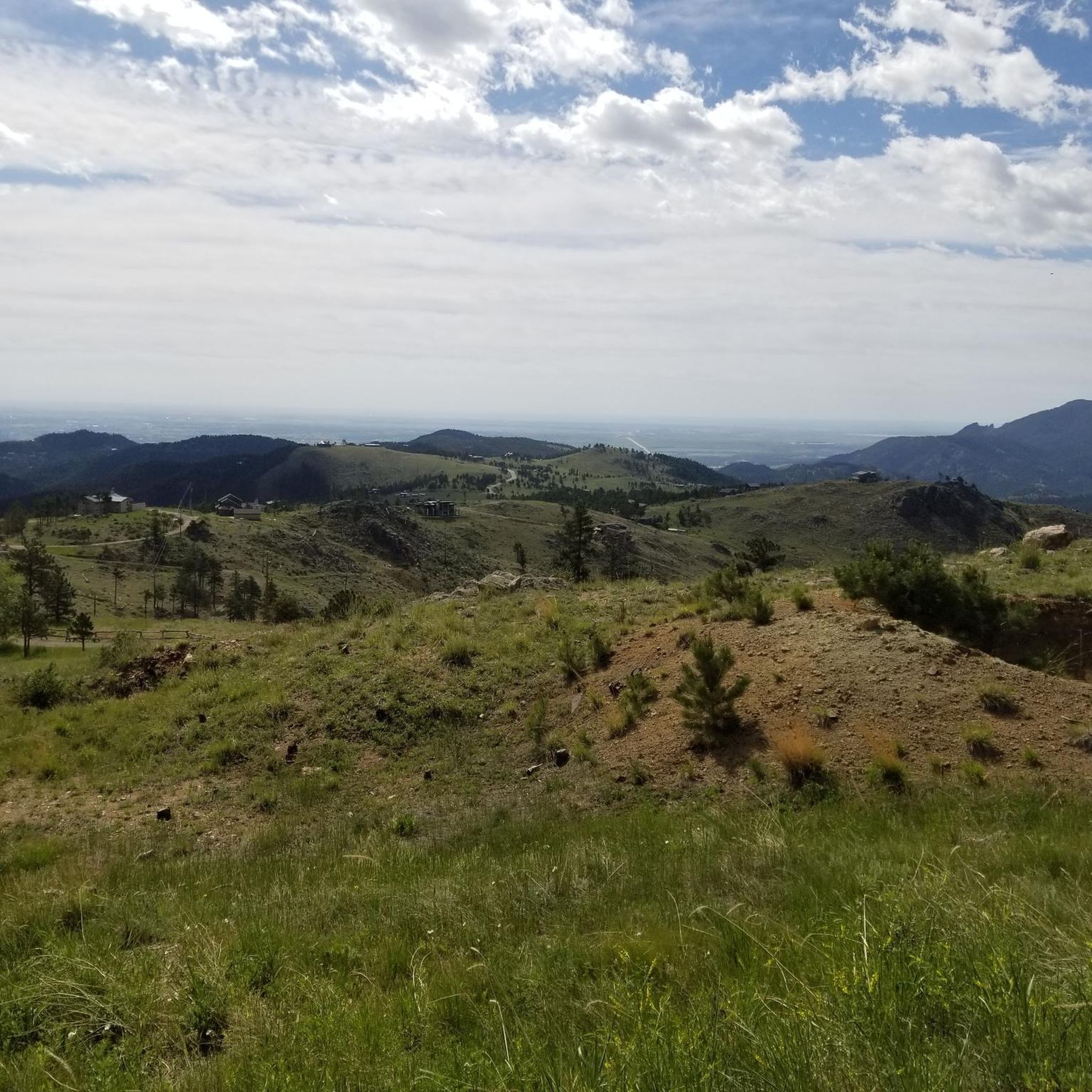
Road cycling routes around St. Ann Highlands are situated in Boulder County, Colorado, offering diverse terrain. The region features high elevations, with St. Ann Highlands itself at approximately 8,285 feet (2,525 meters), providing challenging climbs. Cyclists can explore routes through prominent canyons such as Sunshine, Lefthand, and Fourmile, which are characterized by significant elevation changes and mountainous landscapes. The area also offers views of the Indian Peaks as elevation increases.
Best road cycling routes around St. Ann Highlands
- The most…
Last updated: October 9, 2026
34
riders
53.4km
02:52
1,040m
1,040m
Cycle 33.2 miles (53.4 km) with 3410 feet (1039 metres) of elevation gain to Brainard Lake for stunning Rocky Mountain views.
2
riders
12.5km
00:43
260m
260m
Easy 7.8-mile road cycling route from Nederland to Los Lagos Reservoirs in Roosevelt National Forest, offering scenic mountain lake views.

35
riders
55.2km
02:58
1,060m
1,060m
Hard road ride. Very good fitness required. Some segments of this route may be unpaved and difficult to ride.
34
riders
113km
05:56
2,130m
2,130m
Hard road ride. Very good fitness required. Mostly well-paved surfaces and easy to ride.
8
riders
55.6km
04:13
1,180m
1,180m
Hard road ride. Very good fitness required. Some segments of this route may be unpaved and difficult to ride.
Get access to more routes and recommendations from other explorers.
Already have an account?
Our route recommendations are based on thousands of hikes, rides, and runs completed by other people on komoot.
Start today with a free account
Your next adventure awaits.


Tips from the Community


Lily Lake is just south of Estes Park, Colorado and is located within the boundaries of Rocky Mountain National Park. You get great views of the high mountains of the park, like Longs Peak and Mount Meeker, reflected in the water, making it a popular spot to stop for photographs. This is a great spot to pause on your ride, eat a snack and enjoy the views.
0
0

Panorama Point is a pull-off on Gab Road that provides great views of Rocky Mountain National Park's peak and the forests surrounding it.
0
0

Just south of Estes Park, on the edge of South Saint Vrain Avenue, you find this small lake and this very easy to do loop, all at the foot of Lily Mountain.
0
0
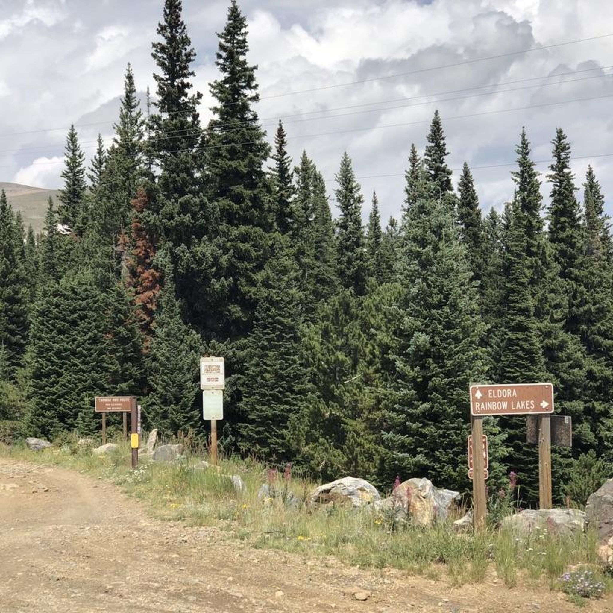
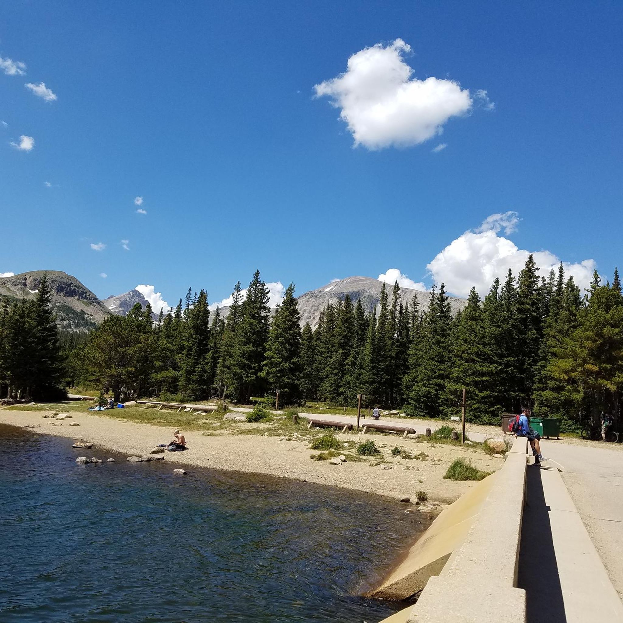
Brainard Lake is a beautiful alpine lake in the Indian Peaks Wilderness below the Continental Divide surrounded by subalpine forest. It is in the Brainard Lake Recreation Area, which during the summer season usually requires a reservation and a fee, but if you are on your bike you do not need to pay or reserve a time slot. Because of the area's high elevation, snow typically remains until late spring, even on the paved road to the lake.
0
0

If you're looking for a picturesque spot off the beaten path, you should definitely check out Red Rock Lake. At an elevation of around 10,500 feet, this hidden gem is often overshadowed by Brainard Lake, but it's worth a visit. The lake offers stunning reflections and vibrant colors, making it a photographer's paradise, especially during sunrise or after sunset. Red Rock Lake is located inside the Brainard Lake Recreational Area off the Peak to Peak Highway (Hwy 72) near Ward, CO. You can visit the area throughout the summer and into October without a fee if you are on your bike.
0
0
Magnificent view of the "Rocky Mountain National Park" and other remarkable mountains. Taking this easy loop trail will give you great satisfaction.
0
0
Frequently Asked Questions
How many road cycling routes are available around St. Ann Highlands?
There are over 6 road cycling routes around St. Ann Highlands, offering a diverse range of options for cyclists. These routes vary in difficulty, from easy paths to challenging climbs through mountainous terrain.
What kind of terrain can I expect on road cycling routes in St. Ann Highlands?
Road cycling around St. Ann Highlands is characterized by mountainous terrain, significant elevation changes, and deep canyons. You'll encounter 'quad-burning climbs' through areas like Sunshine, Lefthand, and Fourmile Canyons, with routes reaching high elevations up to 8,285 feet (2,525 meters).
Are there any easy road cycling routes for beginners or those seeking a less strenuous ride?
Yes, while many routes are challenging, there is an easy option available. The Los Lagos Reservoirs from Nederland — Roosevelt National Forest is an easy 7.8 miles (12.5 km) path, offering a less strenuous ride with scenic views of the reservoirs.
Which routes offer the most challenging climbs and significant elevation gain?
For experienced cyclists seeking a challenge, routes like Brainard Lake from Nederland — Roosevelt National Forest and the Ward General Store – Lily Lake loop from Gold Run Subdivision are excellent choices. These routes feature substantial elevation gain and lead through varied mountain landscapes, providing rewarding and demanding experiences.
What natural features or views can I expect to see along the road cycling routes?
As you gain elevation on routes like those through Lefthand Canyon, you'll be treated to increasingly impressive views of the majestic Indian Peaks. The region also features dramatic canyon landscapes, including Sunshine Canyon and Fourmile Canyon.
Are there any cyclist-friendly stops or cafes along the routes?
Yes, the tiny mountain town of Ward, accessible via Lefthand Canyon, is home to the Ward General Store, which is known to be cyclist-friendly and provides a convenient stop for riders. Another option is the Gold Hill General Store.
Can I find circular road cycling routes in the St. Ann Highlands area?
Yes, several routes in the area are designed as loops, allowing you to start and end in the same location. Examples include the Ward General Store – Lily Lake loop from Gold Run Subdivision, the Los Lagos Reservoirs – Nederland loop from Nederland, and the Nederland – Los Lagos Reservoirs loop from Nederland.
What are some notable attractions or points of interest near the cycling routes?
Beyond the cycling itself, the area offers several points of interest. You can find beautiful lakes such as Gross Reservoir and Mud Lake. The region also provides access to hiking areas like Mount Sanitas and Lions Lair, particularly near Sunshine Canyon.
What is the best time of year to go road cycling in St. Ann Highlands?
Given the high elevations and potential for snow, the best time for road cycling in St. Ann Highlands is typically during the warmer months, from late spring through early autumn. This period offers more predictable weather and clear roads, allowing for optimal enjoyment of the challenging mountain routes and scenic views.
Is St. Ann Highlands a good base for exploring other cycling opportunities in Boulder County?
Absolutely. St. Ann Highlands is only about 12 miles (19 km) from Boulder, a city renowned for its strong cycling culture. This proximity allows easy access to Boulder's broader cycling community, numerous bike shops, and an extensive network of dedicated bike paths and challenging climbs throughout Boulder County.
What do other road cyclists enjoy most about road cycling in St. Ann Highlands?
Road cyclists frequently praise the diverse terrain, from the 'quad-burning climbs' in the canyons to the rewarding views of the Indian Peaks. The variety of routes, catering to both easy and difficult preferences, is also a highlight, with many appreciating the well-maintained paths and the overall challenging yet scenic experience.
Most popular attractions around St. Ann Highlands

Get inspired with the komoot mobile app


Explore more
Browse the best Road cycling routes in other regions.
