The best cycling routes around Rollinsville
5.0
(1)
92
riders
15
rides
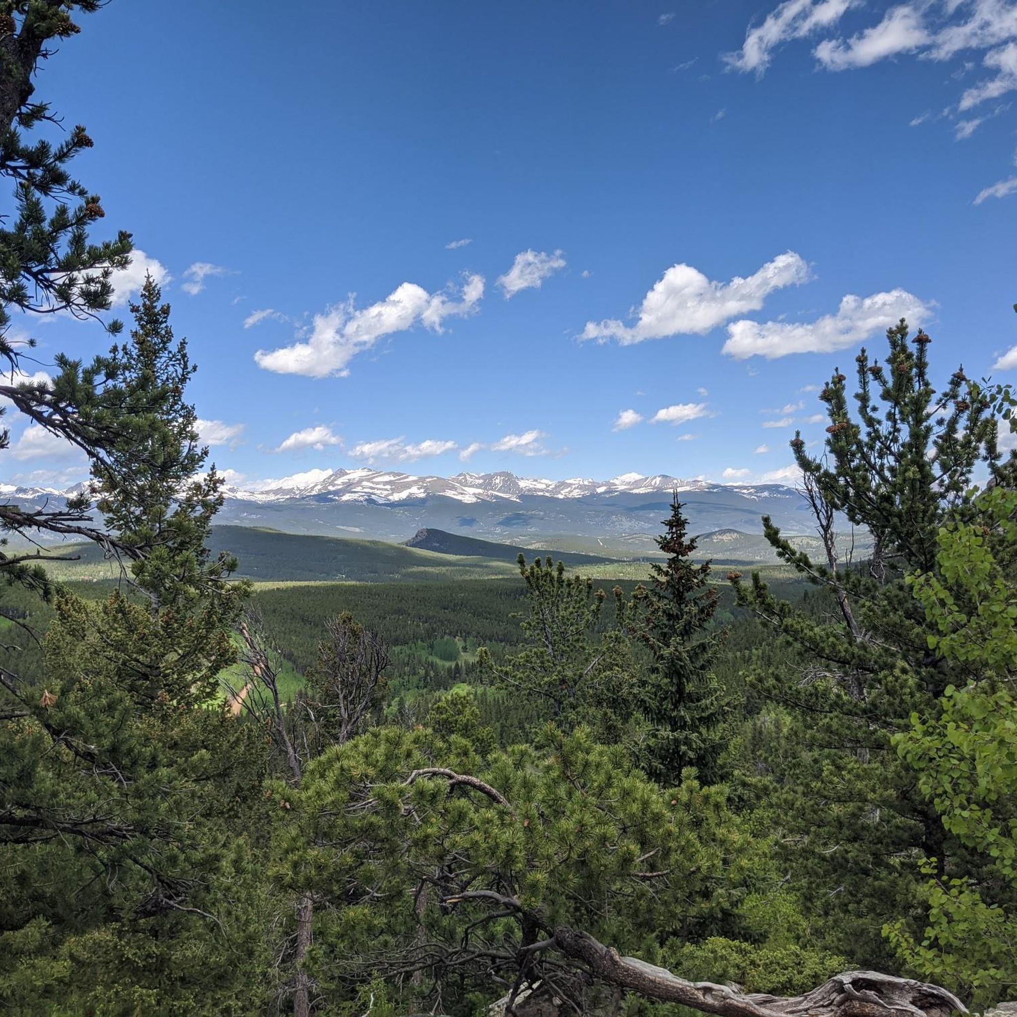
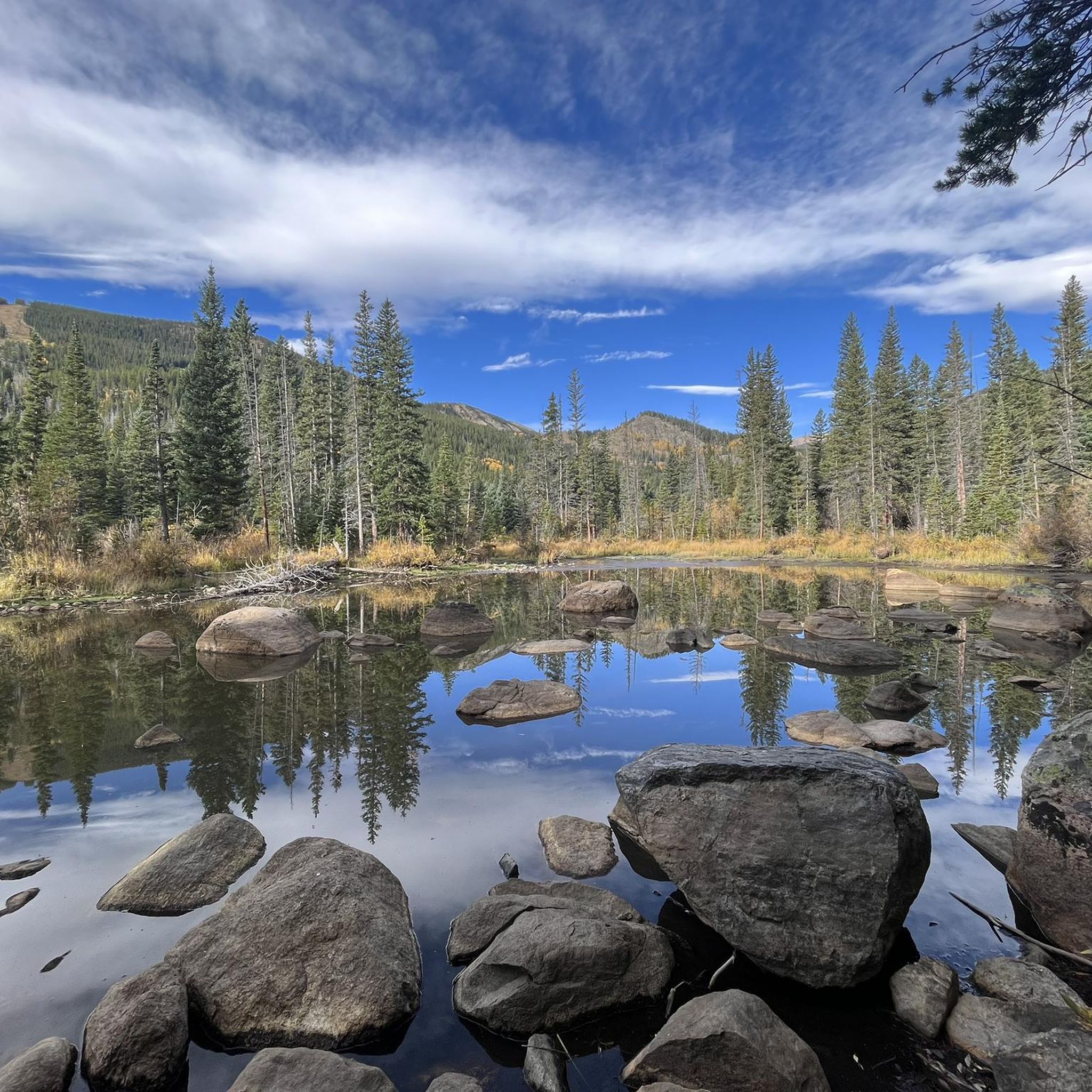
Touring cycling routes around Rollinsville are situated in the Colorado Rockies at an elevation of 8,474 feet, offering expansive mountain vistas and an alpine environment. The region is characterized by high-altitude forests, including aspens and pine trees, and features like South Boulder Creek. Historic passes such as Rollins Pass and the Switzerland Trail provide unique cycling experiences through varied terrain. The area is surrounded by Arapaho and Roosevelt National Forests, contributing to its diverse natural features.
Best touring cycling routes…
Last updated: June 28, 2026
4
riders
48.5km
04:06
1,090m
1,090m
Hard bike ride. Very good fitness required. Mostly paved surfaces. Suitable for all skill levels.
40.1km
03:43
980m
980m
Hard bike ride. Very good fitness required. You may need to push your bike for some segments of this route.

Sign up for free
19
riders
91.3km
08:05
2,120m
2,120m
Hard bike ride. Very good fitness required. You may need to push your bike for some segments of this route.
17
riders
28.6km
02:32
590m
590m
Hard bike ride. Very good fitness required. You may need to push your bike for some segments of this route.
12
riders
55.3km
03:59
1,100m
1,100m
Hard bike ride. Very good fitness required. Mostly paved surfaces. Suitable for all skill levels.
Get access to more routes and recommendations from other explorers.
Sign up for free
Already have an account?
Our route recommendations are based on thousands of hikes, rides, and runs completed by other people on komoot.
Start today with a free account
Your next adventure awaits.
Login or Signup
Tips from the Community


A very unexpected tall brick/stone tower in the middle of the forest.
0
0
The Assay Office Museum contains many tools and implements used in the assaying process, as well as furniture and artwork owned by the Bailey family. The museum is open the third Saturday of the month May through October. https://bouldercounty.gov/open-space/education/museums/assay-office/
0
0

If you often shop at Publix Super Markets, you may enter a drawing to win a $1000 gift card by sharing your shopping experience on Publixsurvey.com Visit Here - https://publexsurveycom.store/
0
2

Country Road 126 is a dirt-packed road that serves as a roadway for cars, a double track for bikers, and a trail for walkers. The road goes through pine trees, birch trees, and under power lines.
0
0

Brainard Lake is a beautiful alpine lake in the Indian Peaks Wilderness below the Continental Divide surrounded by subalpine forest. It is in the Brainard Lake Recreation Area, which during the summer season usually requires a reservation and a fee, but if you are on your bike you do not need to pay or reserve a time slot. Because of the area's high elevation, snow typically remains until late spring, even on the paved road to the lake.
0
0

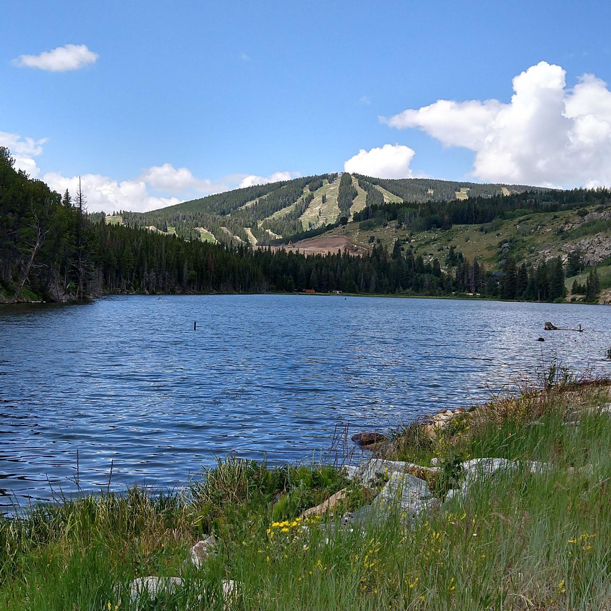
Barker Reservoir or Barker Meadow Reservoir is a water supply lake in Colorado. It provides water to Boulder and also powers the hydroelectric power plant located just down stream. The dam which holds back the lake was completed in 1910.
0
0
Frequently Asked Questions
How many touring cycling routes are available around Rollinsville?
Rollinsville offers a diverse selection of over 15 touring cycling routes. These routes are situated in the Colorado Rockies, providing expansive mountain vistas and an alpine environment.
What kind of terrain can I expect on Rollinsville's touring cycling routes, and what bike is best suited?
The terrain around Rollinsville is varied, often featuring both paved and unpaved surfaces, including rocky and bumpy sections, especially on historic routes like Rollins Pass. Many paths follow old railway beds, making them ideal for touring or gravel bikes. The high-altitude environment means you'll encounter significant elevation changes.
Are there touring cycling routes for all skill levels in Rollinsville?
While Rollinsville's touring cycling routes are predominantly challenging, with 14 out of 17 routes rated as difficult, there are also 3 moderate options available. The region's high-altitude setting and significant elevation gains mean most routes require a good level of fitness.
When is the best time of year for touring cycling in Rollinsville?
The best time for touring cycling in Rollinsville is typically during the warmer months, avoiding heavy snow. The area is particularly beautiful in the fall when aspens and pine trees at this 'crossover altitude' display stunning foliage. Always check local conditions and weather forecasts due to the high-altitude environment.
What scenic viewpoints or historical landmarks can I discover along Rollinsville's touring cycling routes?
You can explore a wealth of scenic and historical sites. Routes often traverse areas with breathtaking views of the Continental Divide and remnants of abandoned railroad infrastructure, such as those found on Rollins Pass. You can also visit historical sites like John Frazer's Cabin and the DeLonde Homestead, offering glimpses into the region's mining and pioneer past. The Switzerland Trail, an old railway, also offers a pleasant path with historical significance.
Are there any circular touring cycling routes in Rollinsville?
Yes, Rollinsville offers several excellent circular touring cycling routes. A popular option is the Rollinsville & Barker Reservoir loop from Nederland, which covers 30.2 miles (48.5 km) and features significant elevation gain. Another favorite is the Jumbo Mountain loop from West Magnolia Trail Head, a difficult 24.9-mile (40.1 km) path winding through alpine forests.
Are there any routes that pass by lakes or water features?
Yes, several routes offer views of or pass near water features. South Boulder Creek flows through the southern part of Rollinsville and is often accessible from cycling paths. Additionally, the Rollinsville & Barker Reservoir loop from Nederland will take you past Barker Reservoir. Other nearby lakes include Lost Lake and Mud Lake.
What do other touring cyclists enjoy the most about touring cycling in Rollinsville?
The touring cycling routes in Rollinsville are highly rated by the komoot community, with an average score of 5.0 stars from reviewers. Cyclists often praise the breathtaking mountain vistas, the unique experience of riding historic passes like Rollins Pass, and the diverse alpine environments found within the Arapaho and Roosevelt National Forests.
Are there any longer touring cycling routes for experienced riders?
Experienced riders seeking longer challenges will find several options. The Nederland – Gold Hill General Store loop from Nederland is a substantial 56.7-mile (91.3 km) trail that leads through mountain passes and historic areas, typically taking over 8 hours to complete. Another demanding option is the Ward General Store – Brainard Lake loop from Nederland, covering 55.1 miles (88.7 km).
Can I combine touring cycling with exploring national forests in Rollinsville?
Absolutely. Rollinsville is surrounded by the vast Arapaho and Roosevelt National Forests, providing a stunning backdrop for your rides. Many touring cycling routes, such as the Jumbo Mountain loop from West Magnolia Trail Head, wind through these alpine forests, allowing you to immerse yourself in the natural beauty and diverse ecosystems of the region.
Are there any routes that offer views of the Continental Divide?
Yes, many routes in the Rollinsville area provide impressive views of the Continental Divide. The region's high elevation at 8,474 feet ensures expansive mountain scenery. For instance, the Jumbo Mountain loop from West Magnolia Trail Head offers clear views of this iconic mountain range.
Most popular attractions around Rollinsville

Get inspired with the komoot mobile app


Explore more
Browse the best Cycling routes in other regions.
