The best cycling routes around Castle Pines Village
5.0
(15)
572
riders
50
rides
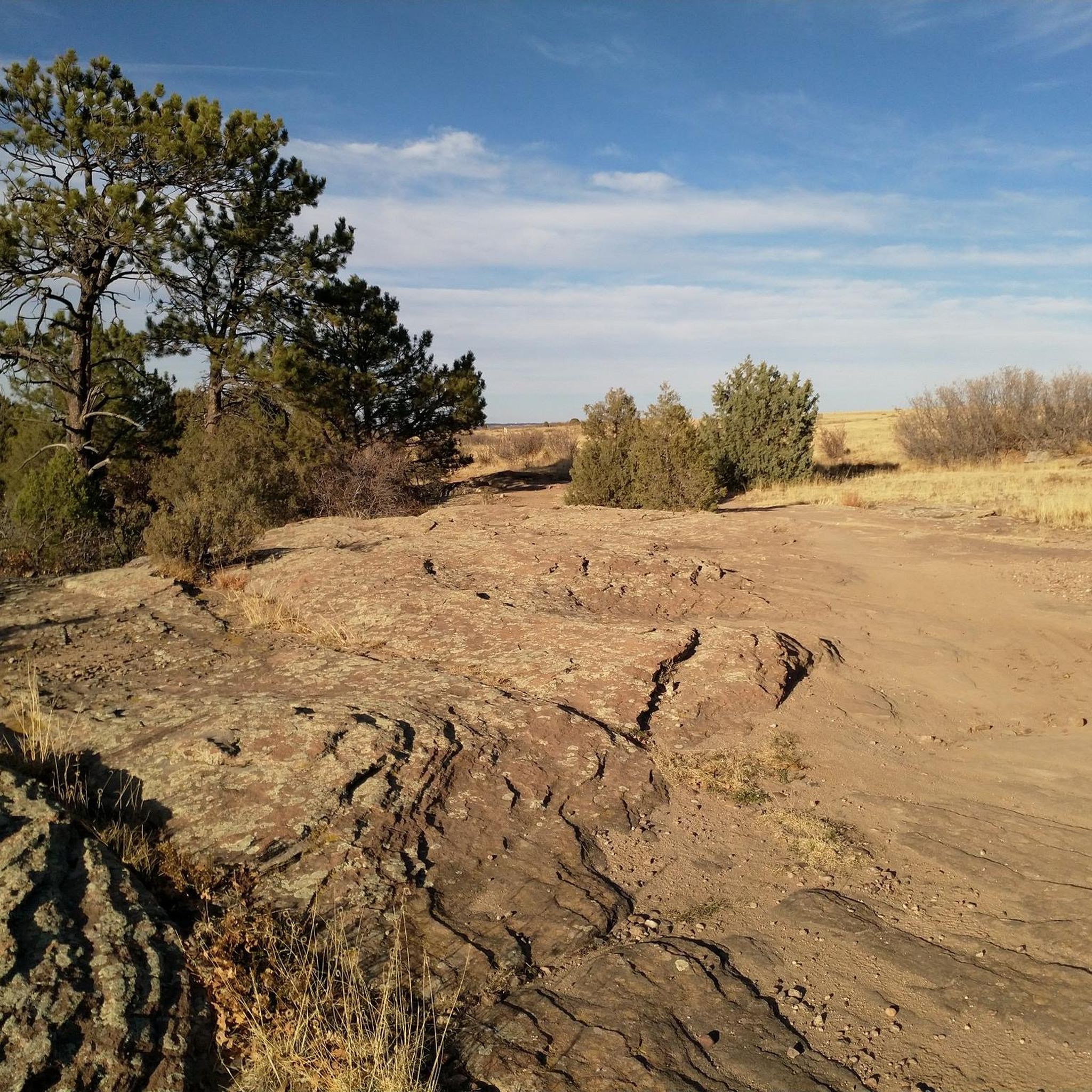
Touring cycling routes around Castle Pines Village traverse rolling foothills and dense Ponderosa Pine forests, offering varied terrain for cyclists. The region features panoramic views of the Rocky Mountains, with elevations typically ranging from 6,000 to 6,500 feet. Distinctive sandstone cliffs and open spaces characterize the natural landscape, while some routes follow riparian areas along rivers like the East Plum Creek.
Best touring cycling routes around Castle Pines Village
- The most popular touring cycling route is Native Legend Trail & Ridgeline Open Space Trails loop, a 12.2 miles (19.6 km) trail that takes 1 hour 41 minutes to complete. This moderate route combines paved sections with open space views and varied terrain.
- Another top favourite among local touring cyclists is East Plum Creek Trail, Tomah Road, & South Perry Park Road loop, a difficult 35.2 miles (56.6 km) path. This route follows riparian areas along East Plum Creek and incorporates road sections through the surrounding landscape.
- Local touring cyclists also love the Philip S. Miller Park loop from Castle Rock, a 15.5 miles (25.0 km) trail leading through parkland and surrounding areas, often completed in about 2 hours 21 minutes.
- Touring cycling around Castle Pines Village is defined by rolling foothills, Ponderosa Pine forests, and expansive open spaces. The network offers options for various ability levels, from easy paths to more challenging ascents.
- The routes in Castle Pines Village are highly rated by the komoot community with an average score of 4.9 stars from over 15 reviews. More than 480 touring cyclists have used komoot to explore Castle Pines Village's varied terrain.
Last updated: August 22, 2026
8
riders
19.6km
01:41
270m
280m
Moderate bike ride. Good fitness required. Mostly paved surfaces. Suitable for all skill levels.
2
riders
56.6km
03:31
590m
590m
Hard bike ride. Very good fitness required. Mostly paved surfaces. Suitable for all skill levels.

Sign up for free
28
riders
28.3km
02:45
400m
400m
Moderate bike ride. Good fitness required. Mostly paved surfaces. Suitable for all skill levels.
21
riders
14.3km
01:19
170m
170m
Moderate bike ride. Good fitness required. Mostly paved surfaces. Suitable for all skill levels.
5.0
(1)
26
riders
Easy bike ride. Great for any fitness level. Mostly paved surfaces. Suitable for all skill levels.
Get access to more routes and recommendations from other explorers.
Sign up for free
Already have an account?
Our route recommendations are based on thousands of hikes, rides, and runs completed by other people on komoot.
Start today with a free account
Your next adventure awaits.
Login or Signup



Tips from the Community


The Native Legend Trail is a 4.5-mile paved path passing through Native Legend Open Space. There are open views along most of the trail, and there are a handful of parks, benches, and picnic areas that you'll pass as you bike.
0
0
Even though this section of the East/West Regional Trail runs parallel to Monarch Boulevard, you still spend a lot of time riding through open fields and next to some trees. The path crosses under the road a couple of times via some tunnels. The trail is packed dirt and gravel and is perfect for creating loops and different routes since it's so long.
0
0
The Native Legend Trail is a 4.5-mile paved path passing through Native Legend Open Space. There are open views along most of the trail, and there are a handful of parks, benches, and picnic areas that you'll pass as you bike.
0
0

East Plum Creek Trail follows the river of the same name in the north of Castle Rock. Starting from the parking lot at Meadows Parkway, the northern section of the trail leads through cottonwoods and between two historic railways.
0
0
Ridgeline Open Space is a public park in the west of Castle Rock. It features an enormous amount of multi-use trails, mostly named after colors. It's your choice if you want to stay on one trail or change the trails in between. Beside views of Castle Rock and the Rocky Mountains in the distance, it hosts a lot of wildlife and if you are lucky, you can spot foxes, mule deer or rattlesnakes.
0
0
Even though this section of the East/West Regional Trail runs parallel to Monarch Boulevard, you still spend a lot of time running through open fields and next to some trees. The path crosses under the road a couple of times via some tunnels. The trail is packed dirt and gravel and is perfect for creating loops and different routes since it's so long.
0
0
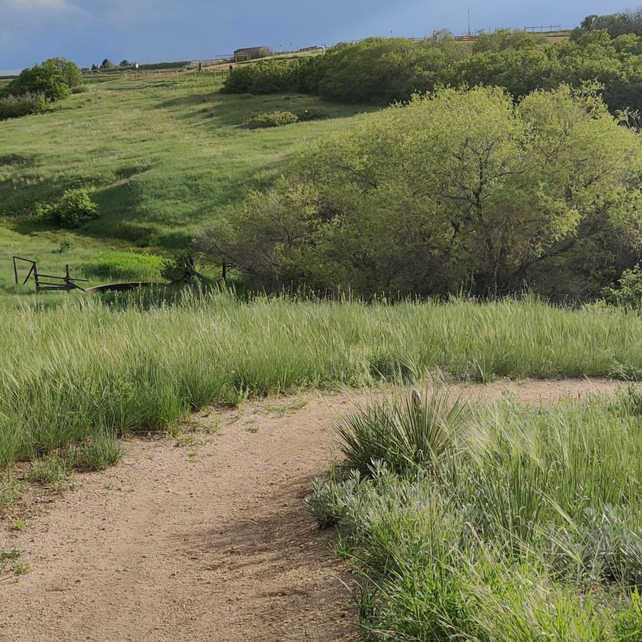
The Waterin' Hole Loop Trail is one of a few trails on the property. There aren't a ton of hills, and there are lots of views since you spend the majority of your time on grassy singletrack trails out in the open. These trails are on Highlands Ranch Community Association (HRCA) Backcountry Wilderness Area property and are subject to closure by the owners.
0
0
Frequently Asked Questions
What types of landscapes can I expect to see while touring cycling in Castle Pines Village?
Touring cycling routes in Castle Pines Village traverse diverse landscapes, including rolling foothills, dense Ponderosa Pine forests, and expansive green pastures. You'll also encounter distinctive sandstone cliffs, open spaces, and riparian areas along rivers like the East Plum Creek. Many routes offer panoramic views of the Rocky Mountains, with elevations typically ranging from 6,000 to 6,500 feet.
Are there touring cycling routes suitable for beginners in Castle Pines Village?
Yes, Castle Pines Village offers several easy touring cycling routes. For example, the East Plum Street Creek Trail – East Plum Creek Trail loop from Castle View High School is an easy 10.5-mile (16.9 km) path with minimal elevation gain, perfect for a relaxed ride.
What kind of challenges can I expect on more advanced touring cycling routes?
For experienced touring cyclists seeking a challenge, routes like the East Plum Creek Trail, Tomah Road, & South Perry Park Road loop offer a difficult 35.2-mile (56.6 km) journey. These routes feature significant elevation changes, with climbs around 1,940 feet (592 meters), and combine riparian trails with road sections through varied terrain.
Are there any circular touring cycling routes available?
Yes, many touring cycling routes in the area are circular. Popular loop options include the Native Legend Trail & Ridgeline Open Space Trails loop, a moderate 12.2-mile (19.6 km) route, and the Philip S. Miller Park loop from Castle Rock, which is 15.5 miles (25.0 km) long.
What are some notable attractions or points of interest along the touring cycling routes?
While touring cycling, you can explore various natural and recreational highlights. The East/West Regional Trail and Cherry Creek Trail offer extensive paths. You might also encounter the scenic Hidden Mesa Open Space or enjoy views from Rock Park. The region's trails often pass through parks and open spaces, providing opportunities to enjoy the natural surroundings.
What is the best time of year for touring cycling in Castle Pines Village?
The best time for touring cycling in Castle Pines Village is generally during the spring, summer, and fall months when the weather is mild and trails are clear. While some trails may be accessible in winter, conditions can vary, and it's advisable to check local weather forecasts and trail conditions, especially at higher elevations.
Are there family-friendly touring cycling options in the area?
Yes, the extensive trail networks in and around Castle Pines Village include many paved and well-maintained paths suitable for families. The Native Legend Trail, for instance, is a 4.5-mile paved path through open space with parks, benches, and picnic areas, offering a pleasant experience for all ages. Many local parks also feature multi-use trails perfect for family rides.
What do other touring cyclists enjoy most about cycling in Castle Pines Village?
The touring cycling routes in Castle Pines Village are highly rated by the komoot community, with an average score of 4.9 stars from over 15 reviews. Cyclists often praise the varied terrain, from rolling foothills to Ponderosa Pine forests, and the panoramic views of the Rocky Mountains. The well-developed trail infrastructure and options for all skill levels are also frequently highlighted.
Is parking available near the touring cycling routes?
Yes, parking is generally available near many of the touring cycling routes and trailheads in Castle Pines Village and the surrounding Douglas County. Numerous parks, such as Daniels Gate Park, Elk Ridge Park, and Coyote Ridge Park, serve as convenient access points with parking facilities for cyclists.
How extensive is the trail network for touring cyclists in the region?
Castle Pines Village itself features approximately 13 miles of diverse trails, including hard-surface asphalt, concrete, gravel, and rustic native paths, all open to cyclists. Beyond the village, Douglas County offers a vast network of paved trails and roads with wide shoulders. Major systems like the C-470 Bike Trail and its connections to the Cherry Creek Trail provide extensive touring possibilities, allowing for rides of nearly 40 miles or more.
Can I connect to wider regional trail systems from Castle Pines Village?
Absolutely. Castle Pines Village offers excellent connectivity to broader regional trail systems. The C-470 Bike Trail, easily accessible from the area, links to major networks like the Cherry Creek Trail, Highline Canal Trail, and the South Platte River Trail. Additionally, the Castle Rock portion of the Colorado Front Range Trail allows for long-distance riding opportunities, connecting towards Denver in the north and Colorado Springs in the south.
Most popular attractions around Castle Pines Village

Get inspired with the komoot mobile app


Explore more
Browse the best Cycling routes in other regions.
