The best road cycling routes around Castle Pines Village
4.8
(6)
522
riders
39
rides
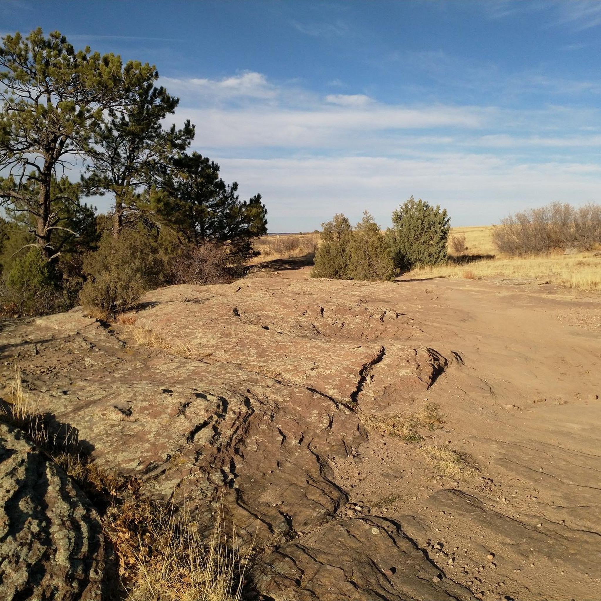
Road cycling routes around Castle Pines Village traverse rolling foothills, Ponderosa Pine forests, and green pastures. The area features a network of paved trails and roads with wide shoulders, designed to accommodate cyclists. Elevations reach over 6,300 feet, providing varied terrain from gentle slopes to more challenging ascents. Sandstone cliffs and open spaces characterize the natural landscape, creating a distinct environment for road cycling.
Best road cycling routes around Castle Pines Village
- The most popular road cycling route is Rueter-Hess…
Last updated: August 20, 2026
4.0
(2)
14
riders
48.3km
02:29
480m
480m
Cycle the moderate 30.0-mile Rueter-Hess Reservoir loop from Castle Rock, featuring scenic views and a challenging climb.
20
riders
39.5km
02:04
360m
360m
The East Plum Creek Trail Loop is a moderate 24.5-mile road cycling route with 1181 feet of gain, offering scenic views of Castle Rock and P

Sign up for free
27
riders
31.7km
01:54
390m
390m
Moderate road ride. Good fitness required. Some segments of this route may be unpaved and difficult to ride.
22
riders
Moderate road ride. Good fitness required. Mostly well-paved surfaces and easy to ride.
13
riders
Moderate road ride. Good fitness required. Mostly well-paved surfaces and easy to ride.
Get access to more routes and recommendations from other explorers.
Sign up for free
Already have an account?
Our route recommendations are based on thousands of hikes, rides, and runs completed by other people on komoot.
Start today with a free account
Your next adventure awaits.
Login or Signup




Tips from the Community


At 6,610 feet, Wildcat Point serves as a great overlook of the city and surrounding foothills. You can easily access this overlook from Daniels Park.
0
0
This short section of the Cherry Creek Trail starts to break away from the busier roads and passes through the Bayou Gulch Open Space. There's always a chance to see some wildlife off the side of the path when biking through here.
0
0

East Plum Creek Trail follows the river of the same name in the north of Castle Rock. Starting from the parking lot at Meadows Parkway, the northern section of the trail leads through cottonwoods and between two historic railways.
0
0
The Native Legend Trail is a 4.5-mile paved path passing through Native Legend Open Space. There are open views along most of the trail, and there are a handful of parks, benches, and picnic areas that you'll pass as you bike.
0
0
At 6,610 feet, Wildcat Point serves as a great overlook of the city and surrounding foothills. You can easily access this overlook from Daniels Park.
0
0
There is a cool view of the Rueter-Hess Reservoir Spillway from here on East Hess Road. There is a nice-sized shoulder on both sides of the roadway.
0
0
The Native Legend Trail is a 4.5-mile paved path passing through Native Legend Open Space. There are open views along most of the trail, and there are a handful of parks, benches, and picnic areas that you'll pass as you bike.
0
0
Frequently Asked Questions
How many road cycling routes are available around Castle Pines Village?
There are over 30 road cycling routes around Castle Pines Village, offering a variety of experiences for different skill levels. These routes are highly rated by the komoot community, with an average score of 4.6 stars.
What are the difficulty levels of road cycling routes in Castle Pines Village?
The routes around Castle Pines Village cater to all abilities. You'll find 6 easy routes perfect for beginners, 25 moderate routes for those seeking a bit more challenge, and 3 difficult routes for experienced cyclists looking for a demanding ride.
What kind of terrain can I expect on road cycling routes in Castle Pines Village?
Road cycling routes in Castle Pines Village feature rolling hills, Ponderosa Pine forests, and green pastures. The area's elevation, reaching over 6,300 feet, provides varied terrain from gentle slopes to more challenging ascents, often with panoramic views of the Rocky Mountains and dramatic sandstone cliffs.
Are there any family-friendly road cycling routes in Castle Pines Village?
Yes, there are several family-friendly options. Routes like the Wildcat Point via Monarch Boulevard & Buffalo Trail — Daniels Park are classified as easy and feature rolling hills and scenic vistas, making them suitable for various fitness levels. The community also has nearly 12 miles of trails with varying surfaces.
What natural features or landmarks can I see along the road cycling routes?
Many routes offer stunning views and pass by notable natural features. You might encounter the expansive views and resident bison herds at Daniel's Park, or enjoy the elevated observation deck at Elk Ridge Park for stunning Rockies views. The Hidden Mesa Open Space also offers routes with views of the Cherry Creek Valley and sandstone cliffs.
Are there any circular road cycling routes in the area?
Yes, many of the popular road cycling routes are loops. For example, the Rueter-Hess Reservoir loop from Castle Rock and the Native Legend Trail & East Plum Creek Trail loop — Centennial are both popular circular routes.
What is the best time of year for road cycling in Castle Pines Village?
Castle Pines Village boasts approximately 300 days of sunshine annually, making it suitable for year-round outdoor pursuits. Spring, summer, and fall offer ideal conditions, with picturesque landscapes. Even in winter, many days are clear enough for cycling, though conditions can vary.
Are there options for longer road cycling tours from Castle Pines Village?
Absolutely. The C-470 Bike Trail System is readily accessible from Castle Pines and connects to extensive regional trail systems like the Cherry Creek Trail (nearly 40 miles paved) and the South Platte River Trail, allowing for much longer rides beyond the immediate village.
What are some popular road cycling routes that offer a good challenge?
For a moderate challenge, consider the Rueter-Hess Reservoir loop from Castle Rock, which spans about 48.3 km with approximately 480m of elevation gain. Another moderate option is the Founders Parkway, Santa Fe Drive, North Perry Park Drive, & Sellars Gulch Trail loop — Douglas County, covering 41.1 km with around 460m of elevation gain.
What do other road cyclists enjoy most about cycling in Castle Pines Village?
The area is highly rated by the komoot community, with an average score of 4.6 stars. Reviewers often praise the stunning natural beauty, the extensive network of paved trails and roads with wide shoulders, and the panoramic views of the Rocky Mountains that accompany many rides.
Are there dedicated bike lanes or wide shoulders on roads in Castle Pines Village?
Yes, many local roads in and around Castle Pines Village feature wide shoulders or dedicated bike lanes, enhancing safety and enjoyment for road cyclists. Monarch Boulevard, for instance, is known for its good bike lane and rolling hills.
Most popular attractions around Castle Pines Village

Get inspired with the komoot mobile app


Explore more
Browse the best Road cycling routes in other regions.
