The best cycling routes around Englewood
4.6
(459)
4,373
riders
211
rides
Touring cycling around Englewood is characterized by its proximity to the Front Range foothills, offering varied elevations and scenic backdrops. The region features extensive riverfront paths along the South Platte River and local greenways, providing flat and accessible routes. The High Line Canal Trail adds gravel sections, often feeling rural despite its suburban surroundings.
Best touring cycling routes around Englewood
- The most popular touring cycling route is Mary Carter Greenway Trail, a 14.7 miles (23.7 km) trail that takes 1 hour 21 minutes to complete. This route follows riverfront greenways.
- Another top favourite among local touring cyclists is Bridge over South Platte River – Bear Creek Lake loop from Englewood, a moderate 24.1 miles (38.9 km) path. This route combines riverfront cycling with sections around Bear Creek Lake.
- Local touring cyclists also love the High Line Canal and Lee Gulch Trail Loop, a 14.7 miles (23.7 km) trail leading through greenways and along the High Line Canal, often completed in about 1 hour 49 minutes.
- Touring cycling around Englewood is defined by riverfront greenways, the Front Range foothills, and extensive trail networks like the High Line Canal Trail. The area offers routes suitable for various ability levels, from easy, flat paths to more challenging rides with moderate elevation changes.
- The routes in Englewood are highly rated by the komoot community with an average score of 4.6 stars from over 400 reviews. More than 4000 touring cyclists have used komoot to explore Englewood's varied terrain.
Last updated: June 1, 2026
4.8
(6)
81
riders
23.7km
01:21
40m
40m
Easy bike ride. Great for any fitness level. Mostly paved surfaces. Suitable for all skill levels.
2.0
(2)
24
riders
23.7km
01:49
80m
80m
Easy bike ride. Great for any fitness level. Mostly paved surfaces. Suitable for all skill levels.

Sign up for free
4.5
(2)
62
riders
Easy bike ride. Great for any fitness level. Mostly paved surfaces. Suitable for all skill levels.
4.8
(4)
62
riders
53.9km
03:14
230m
230m
Moderate bike ride. Good fitness required. Mostly paved surfaces. Suitable for all skill levels.
5.0
(5)
70
riders
Moderate bike ride. Good fitness required. Mostly paved surfaces. Suitable for all skill levels.
Get access to more routes and recommendations from other explorers.
Sign up for free
Already have an account?
Our route recommendations are based on thousands of hikes, rides, and runs completed by other people on komoot.
Start today with a free account
Your next adventure awaits.
Login or Signup
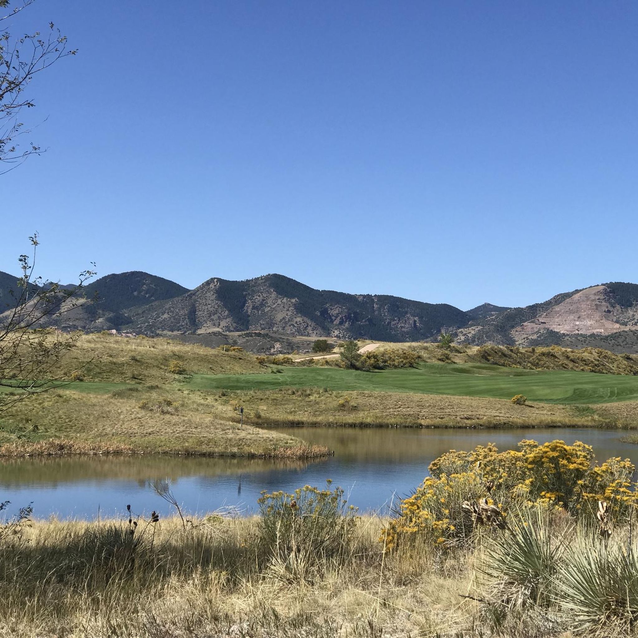
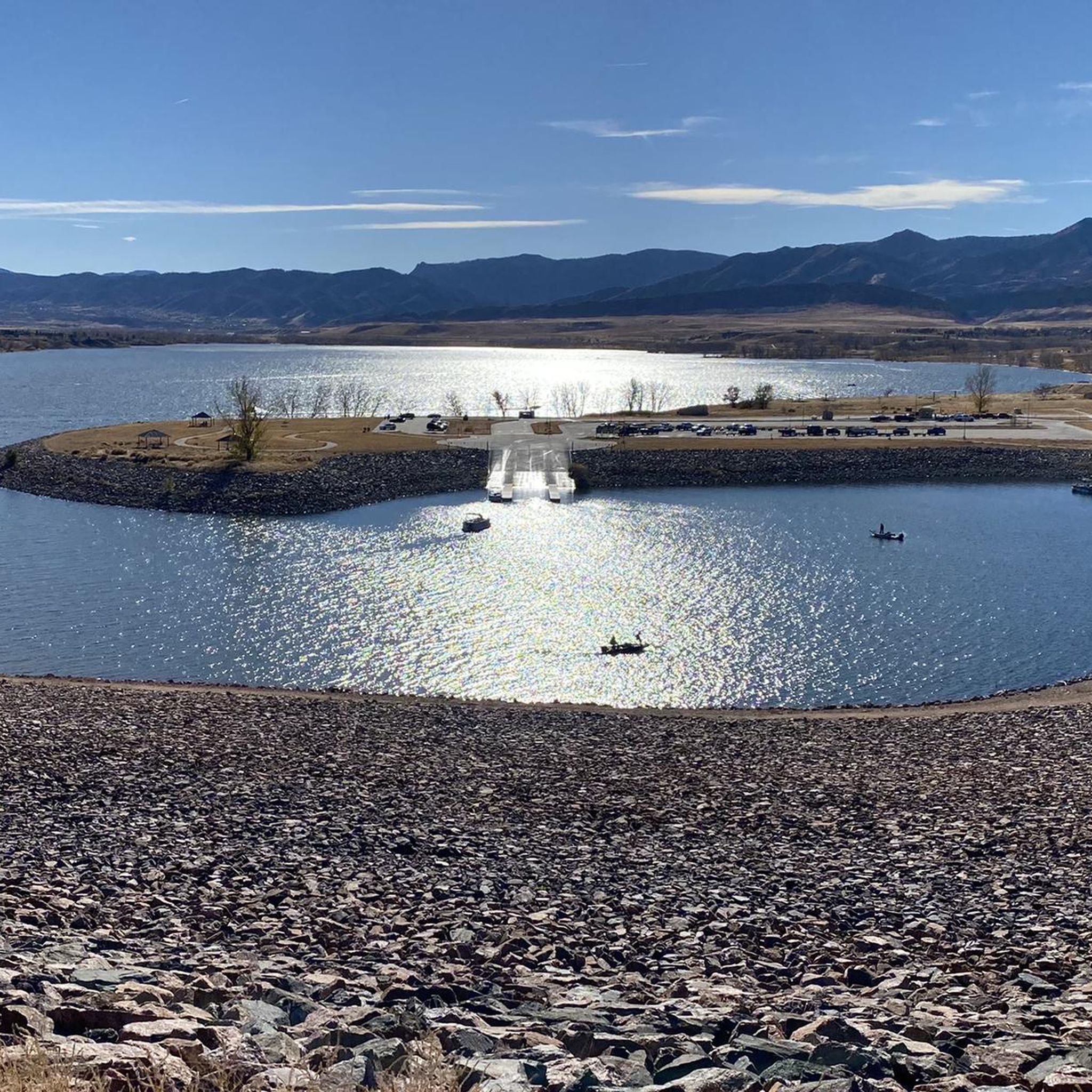
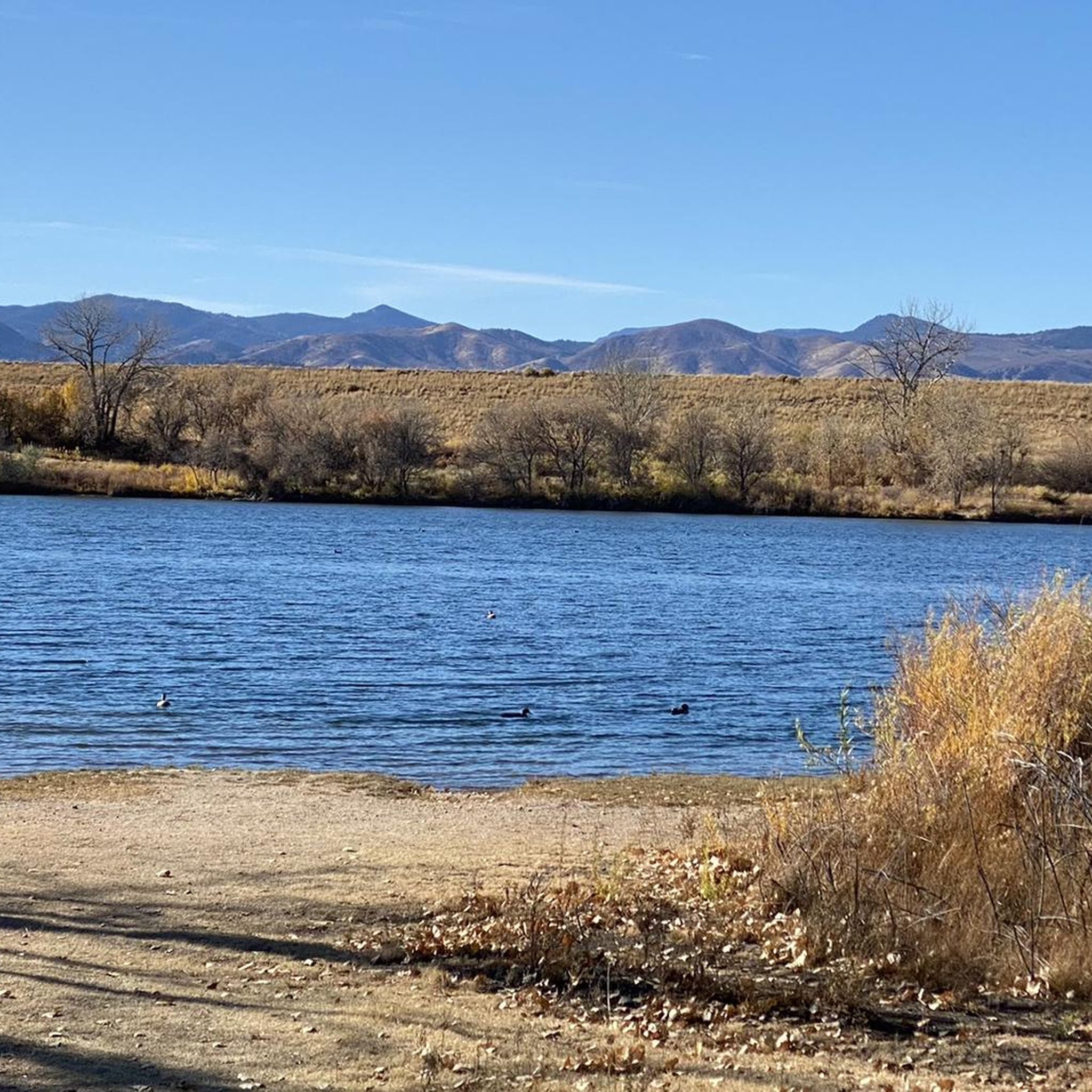

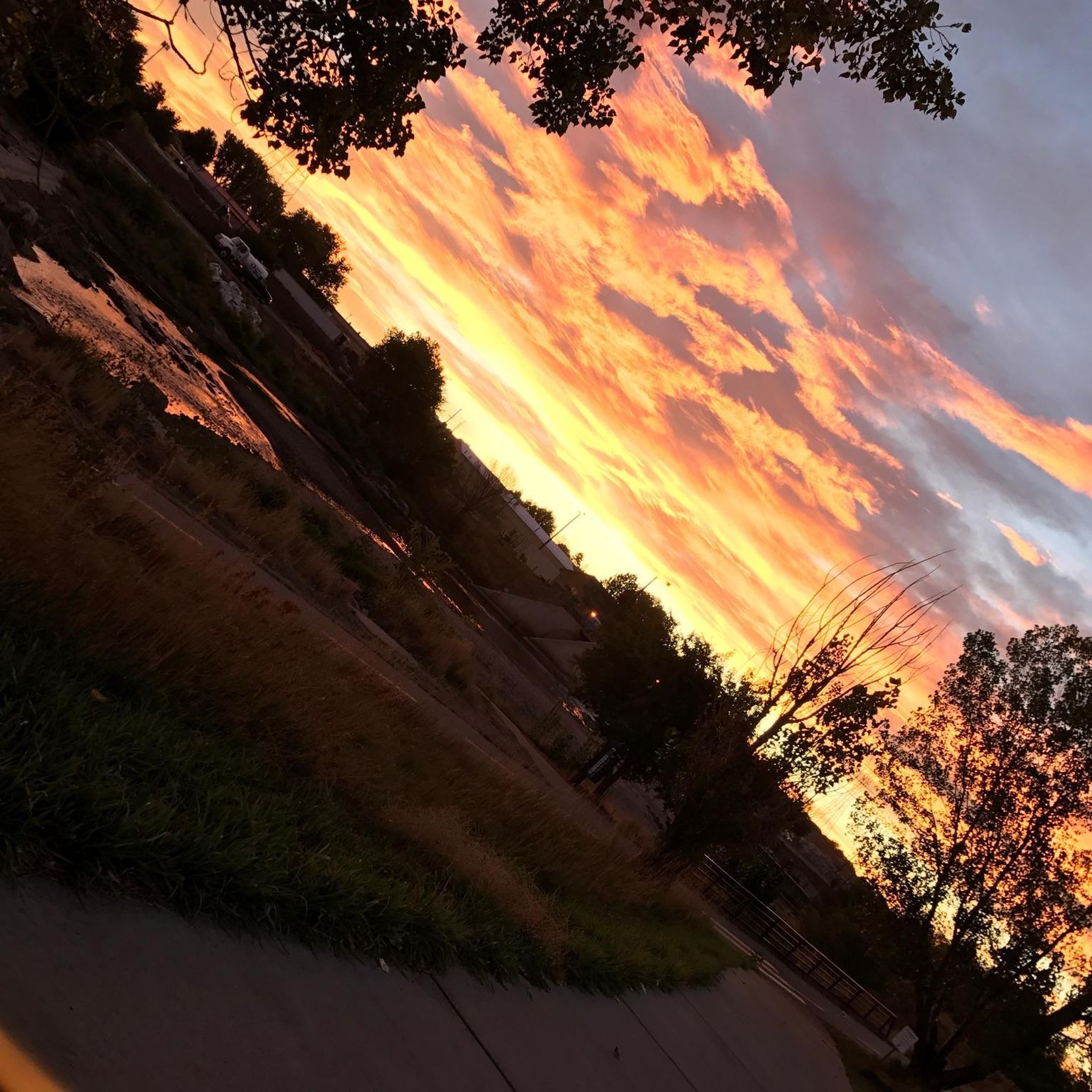
Tips from the Community

Don’t miss the chance to see a SpaceX rocket booster up close. It’s mounted just above the Mary Carter Greenway in Littleton, inside a fenced lot by DISH Network. You can’t go inside, but the view from the bike path is more than enough for a quick, geeky photo stop. The site is open daily from 9 AM to 5 PM.
2
0
This is a nice overlook near Mt. Carbon, with expansive views of the Denver skyline, Bear Lake Park, and Mount Falcon Park in the background. Bear Creek Trail ends here, making it a great spot to pause, sit for a bit, and enjoy the views.
0
0

This is the closest most people will ever get to a rocket booster. It is located right next to the bike path. It is in a fenced area with locked gate. I don't know what the opening hours are. Maybe someone else can post those hours to this highlight when they visit it. https://en.m.wikipedia.org/wiki/List_of_Falcon_9_first-stage_boosters#Booster_1021
0
0

Great stop on the Platte River Trail, good coffer, place to sit and relx
1
0

This point marks the intersection and trailhead for the Lee Gulch Trail and the Mary Carter Trail. This major trail junction is along the shores of the South Platte River and is a great resting spot or a spot to visit with the family.
0
0

The South Platte River is one of the two main tributaries of the Platte River. The river starts in South Park and ends when it joins the North Platte River south of Ogallala, Nebraska.
0
0

scenic high point above Bear Creek Reservoir, between the Denver skyline and the foothills - a bike path all the way http://www.cyclepass.com/t_p_Bear_Creek_Res.html
0
0

Mount Carbon dominates Bear Creek Lake State Park, near the eastern entrance to the park, rising to an elevation of 6,000 feet (1759 meters). It offers a great vantage point from which to view the early ranges of the Rocky Mountains.
0
0
Frequently Asked Questions
How many touring cycling routes are available in Englewood?
Englewood offers a wide variety of touring cycling routes, with over 220 options available. These routes cater to different preferences, including 115 easy, 79 moderate, and 26 difficult trails.
What kind of terrain can I expect on touring cycling routes around Englewood?
You'll find diverse terrain, from flat, scenic riverfront paths along the South Platte River to routes with varying elevations in the Front Range foothills. Surfaces include asphalt, concrete, crushed stone, and gravel, particularly on sections of the High Line Canal Trail, which can offer a surprisingly rural feel despite being near suburban areas.
Are there family-friendly touring cycling routes in Englewood?
Yes, Englewood is well-suited for family cycling with many easy routes. The local greenways and riverfront paths, such as the Platte River Trail from South Englewood to Littleton, are generally flat and offer a calm, safe environment for riders of all ages. Englewood City Parks also provide accessible starting points for leisurely rides.
What do other cyclists say about touring in Englewood?
The touring cycling routes around Englewood are highly regarded by the komoot community, boasting an average rating of 4.6 stars from over 400 reviews. Cyclists often praise the extensive trail network, scenic views of the Front Range, and the variety of routes available for different skill levels.
Are there any circular touring cycling routes in the area?
Yes, there are several excellent circular routes for touring cyclists. For example, the Bridge over South Platte River – Bear Creek Lake loop from Englewood offers a moderate 24.15-mile ride, combining riverfront cycling with sections around Bear Creek Lake. Another popular option is the Bridge over South Platte River – Mary Carter Greenway Trail loop from Englewood, a 25.44-mile trail through riverfront greenways.
What interesting places can I explore near the touring cycling routes?
Englewood's routes offer access to various points of interest. You can find natural beauty at the Marjorie Perry Nature Preserve or explore the South Platte Reservoir. For urban attractions, Denver's Union Station and the 16th Street Mall are also accessible from the wider trail network.
Are there routes with varied terrain or more challenging options?
Absolutely. While many routes are easy, Englewood's proximity to the Front Range foothills means you can find rides with moderate elevation changes. The Bridge over South Platte River – Bear Creek Lake loop from Englewood, for instance, features varied terrain and moderate climbs, providing a more engaging experience for those seeking a challenge.
Where can I find parking for touring cycling routes in Englewood?
Englewood offers several convenient parking options. Many city parks, such as those maintained by the City of Englewood, provide access points and parking. The River Run Trailhead is a notable starting point, and various suburban open spaces along trails like the High Line Canal Trail may also offer parking facilities.
Can I find cafes or places to stop along the routes?
Englewood's blend of urban amenities and natural landscapes means you're often close to town services. Many riverfront paths and greenways connect to or pass through areas where you can find cafes, restaurants, and other amenities, making it easy to take a break and refuel during your ride.
When is the best time of year for touring cycling in Englewood?
Englewood offers enjoyable touring cycling for much of the year. Spring and fall generally provide pleasant temperatures and beautiful scenery. Summer can be warm, so early morning or late afternoon rides are often preferred. Winter cycling is possible, but be mindful of colder temperatures and potential snow or ice on trails, especially in shaded areas.
Are there any routes that offer views of the Rocky Mountains?
Yes, many routes in and around Englewood provide expansive views of the Rocky Mountain foothills. Trails like the 6th Avenue Trail, and sections of the High Line Canal Trail, offer majestic backdrops, allowing you to enjoy stunning mountain vistas as you cycle.
Do any routes connect to broader regional trail networks?
Englewood's trails are well-connected to the broader regional network. For example, the Baldwin Gulch Trail links to the 40-mile Cherry Creek Regional Trail, and the Big Dry Creek Trail connects the High Line Canal Trail and the Mary Carter Greenway. These connections allow for longer, more extensive touring itineraries beyond Englewood itself.
Most popular attractions around Englewood

Get inspired with the komoot mobile app


Explore more
Browse the best Cycling routes in other regions.
