The best walks and hikes around Englewood
4.4
(20)
1,945
hikers
151
hikes
Hiking around Englewood, Colorado, offers a mix of urban park trails and accessible nature paths within the South Platte River Valley. Situated just south of Denver at an elevation of 5,371 feet, the area provides views of the nearby Rocky Mountain foothills. The terrain features relatively flat paths along river corridors and through numerous parks with lakes and open spaces, including Blackmer Lake, Ketring Lake, and Eaglewatch Lake. These routes provide straightforward walking opportunities suitable for various fitness levels.
Best hiking trails in Englewood
- The most popular hiking route is Highline Canal Trail and Centennial Link Trail Loop, a 6.5 miles (10.4 km) trail that takes about 2 hours 40 minutes to complete. This moderate route features minimal elevation gain along the Highline Canal.
- Another top favourite among local hikers is High Line Canal Trail, a moderate 8.7 miles (14.0 km) path. This trail follows the historic High Line Canal, offering a long, relatively flat walking experience.
- Local hikers also love the Englewood Centennial Park, a 1.5 miles (2.4 km) trail leading through 50.9 acres of greenery and well-maintained paths, often completed in about 35 minutes.
- Hiking around Englewood is defined by paved park paths, lakeside loops, and trails along the South Platte River. The network provides many easy hikes near Englewood CO suitable for all ability levels.
- The routes in Englewood are highly rated by the komoot community with an average score of 4.4 stars from over 20 reviews. More than 1,800 hikers have used komoot to explore Englewood's varied terrain.
Last updated: July 8, 2026
8
hikers
10.4km
02:40
40m
50m
The Highline Canal Trail and Centennial Link Trail Loop offers a unique blend of urban convenience and natural escape, often feeling like an "emerald strand of natural beauty" right in the city. You'll traverse a mix of paved, gravel, and dirt surfaces, winding past the historic canal, through green spaces, and offering glimpses of houses, fields, and pastures. The route's generally flat profile, with only 126 feet (39 metres) of elevation gain over 6.5 miles (10.4 km), makes it an accessible and enjoyable experience for a variety of users.
Planning your visit is straightforward, as this moderate loop is open and well-maintained year-round, taking approximately 2 hours and 40 minutes to complete. Many sections are shaded by mature cottonwood trees, providing comfort during warmer months. This trail is a fantastic option if you're looking for a longer, consistent walk or run without needing to leave the city, and it's popular with hikers, runners, and cyclists.
This loop is notable for its historical significance as part of the National Landmark High Line Canal, originally an irrigation waterway from the late 1800s. It functions as a vital linear greenway, supporting diverse wildlife despite its urban setting, and connects to numerous other trails and open spaces. The Centennial Link Trail specifically enhances this connectivity, linking the High Line Canal to local parks and schools in Littleton and Centennial.
2
hikers
14.0km
03:34
40m
40m
The High Line Canal Trail offers a delightful journey through varied urban and natural landscapes, often shaded by mature cottonwood trees. You'll experience a mix of soft gravel and paved surfaces, making it a comfortable walk for most. This moderate 8.7-mile (14.0 km) hike with a gentle 123 feet (38 metres) of elevation gain takes around 3 hours and 33 minutes, providing a pleasant escape into nature without demanding too much effort. Keep an eye out for the Marjorie Perry Nature Preserve along the way, a lovely spot to pause and enjoy the surroundings.
Accessing the High Line Canal Trail is generally easy, with numerous entry points across the Denver metro area. The trail is open year-round, making it a reliable option for a walk in any season. Since the terrain varies from soft to hard surfaces, comfortable sneakers are your best bet. It's a popular route for families and dog walkers, so you'll find it well-used, especially on pleasant days.
This trail is more than just a path; it's a significant historical and ecological corridor. Originally an irrigation canal built in 1883, it's now one of the longest urban trails in the United States, stretching 71 miles and connecting to 72 open spaces. It serves as a vital greenway, larger than Central Park, providing a habitat for over 190 bird species and numerous mammals, offering a unique blend of history and nature within the city.

Sign up for free
1
hikers
2.42km
00:37
10m
10m
Englewood Centennial Park offers a refreshing urban escape with its easy 1.5-mile (2.4 km) hiking loop. You'll find yourself on well-maintained, flat paths winding through lush greenery, often alongside the tranquil Centennial Lake. The ambiance is peaceful, especially as you pass the Centennial Pond Sunset View, making it an ideal spot for a relaxing walk. This route is perfect for anyone looking for a gentle outdoor experience, taking about 37 minutes with only 26 feet (8 metres) of elevation gain.
Planning your visit is straightforward, as the park provides multiple parking lots and restrooms, making it convenient for families. While you can enjoy the park year-round, spring and fall offer the most comfortable weather for your hike. It's a great place to combine a walk with other activities, given the picnic areas, playgrounds, and sports facilities available.
This park stands out as a family-friendly destination within Englewood, Colorado, offering more than just hiking trails. The Centennial Lake is stocked for fishing, and an ADA fishing pier is available on the south side. It's a versatile spot for outdoor recreation, providing a natural oasis for local residents and visitors alike.
3.43km
00:53
10m
10m
Embark on an easy hiking experience along the Mary Carter Greenway Trail, a 2.1-mile (3.4 km) route that follows the South Platte River. You'll find yourself on a mostly flat, warm-tone concrete path, often with a parallel crushed stone option, making for a comfortable walk. This trail offers continuous river views and access to the natural oasis of South Platte Park, where you might spot local wildlife like deer or elk, especially near the Bridge over South Platte River. With only 44 feet (13 metres) of elevation gain, you can complete this pleasant journey in about 52 minutes.
Planning your visit is straightforward, as general parking and trailheads are readily available for the Mary Carter Greenway Trail. The paved nature of the path makes it a good choice for hiking even during winter and early spring, when other natural surface trails might be muddy or icy. You will also discover rest areas and interpretive sites along the way, providing opportunities to pause and learn more about the surroundings. No specific permits or fees are required to access this trail.
The Mary Carter Greenway Trail stands out as a serene escape, offering a blend of natural beauty and accessibility within the region. As you hike, you'll encounter lush green meadows and shimmering lakes, adding to the diverse natural features of the area. The trail provides stunning Rocky Mountain viewpoints, particularly from certain vantage points, making it a notable spot for scenic appreciation. This route is a perfect option for a quick outdoor escape, connecting you with the river's ecosystem and local wildlife.
32.7km
08:16
60m
70m
The Mary Carter Greenway Trail offers a unique long-distance hiking experience right in the Denver metropolitan area, following the South Platte River. You'll find a mostly flat, multi-use path, with a crushed stone section specifically for pedestrians, winding past scenic spots like Eaglewatch Lake and the South Platte Reservoir. It's a great way to immerse yourself in nature without leaving the city, though some northern sections do pass through more industrial areas.
This is a serious commitment in terms of time, rated as difficult due to its length of 20.3 miles (32.7 km), which typically takes around 8 hours and 15 minutes to complete. However, with only 186 feet (57 metres) of elevation gain, the terrain is very gentle, making it more about endurance than steep climbs. Parking is available at various access points, such as the "Park and Rafters" highlight, and the trail is well-connected to public transport options throughout Littleton.
The Mary Carter Greenway Trail is a testament to urban greenway development, having received national awards for its restoration efforts along the South Platte River. It serves as a vital artery in Denver's extensive trail network, linking to other major paths like the C-470 bikeway. Beyond hiking, you can find amenities like interpretive sites and even whitewater boating facilities, making it a versatile outdoor destination.
Get access to more routes and recommendations from other explorers.
Sign up for free
Already have an account?
Our route recommendations are based on thousands of hikes, rides, and runs completed by other people on komoot.
Start today with a free account
Your next adventure awaits.
Login or Signup
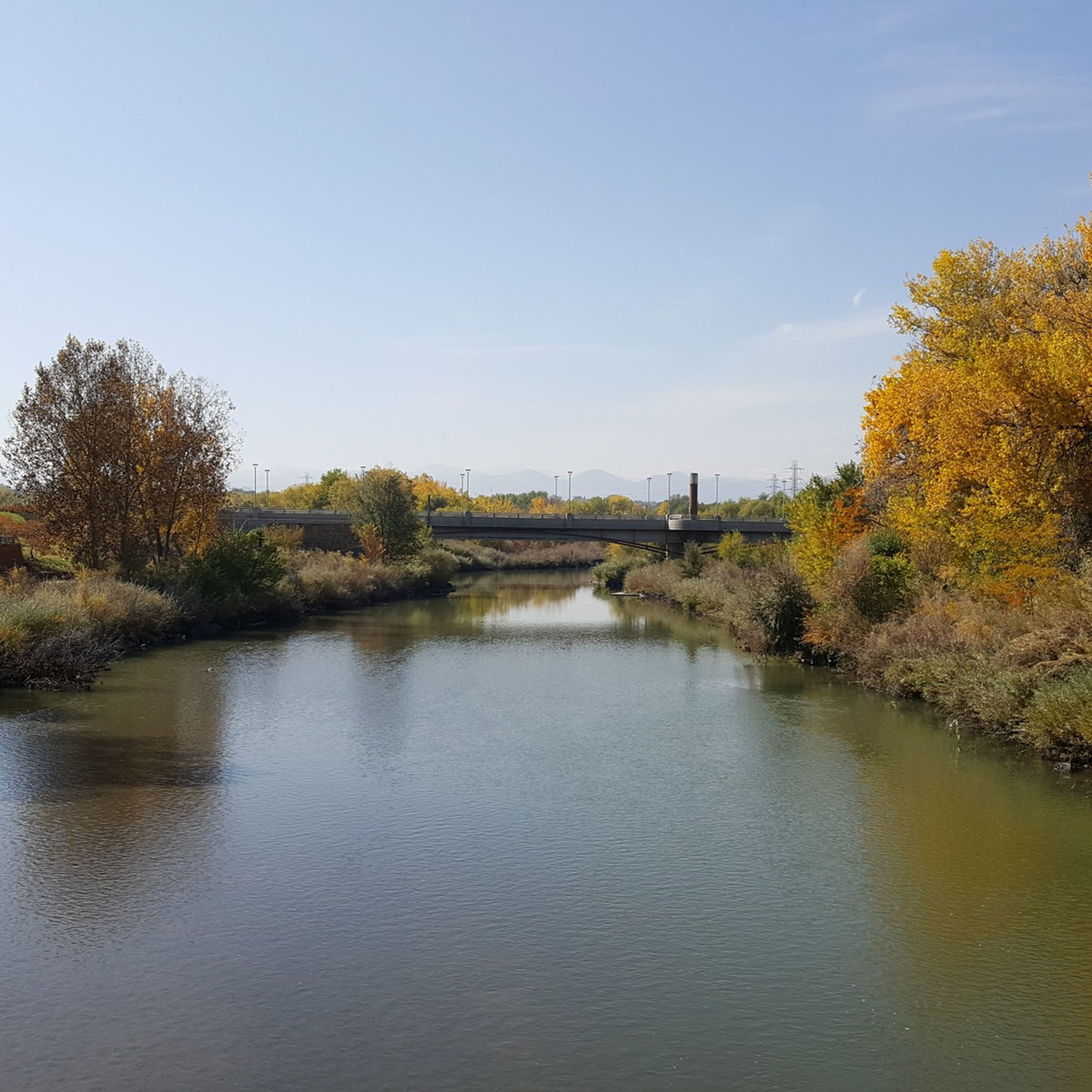
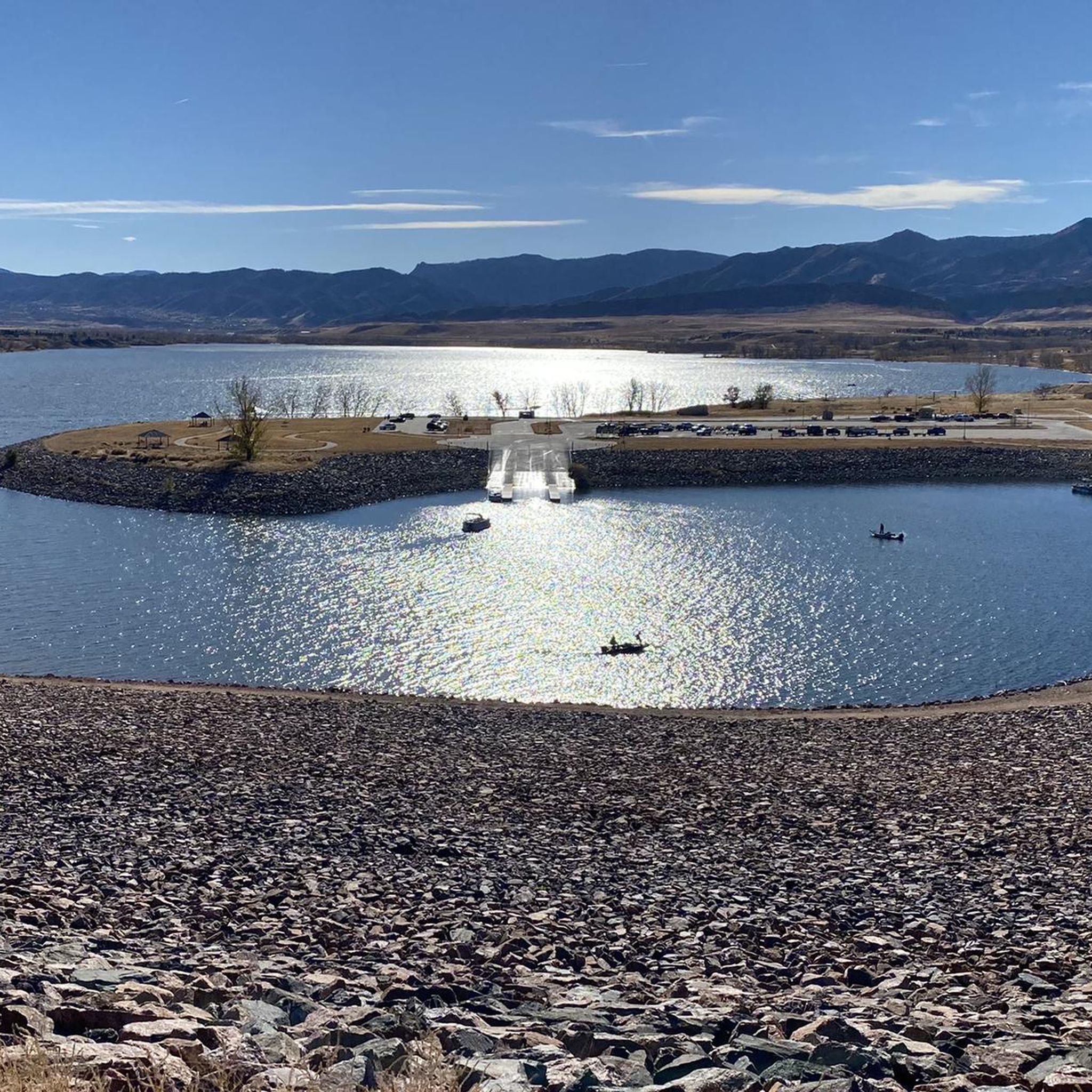
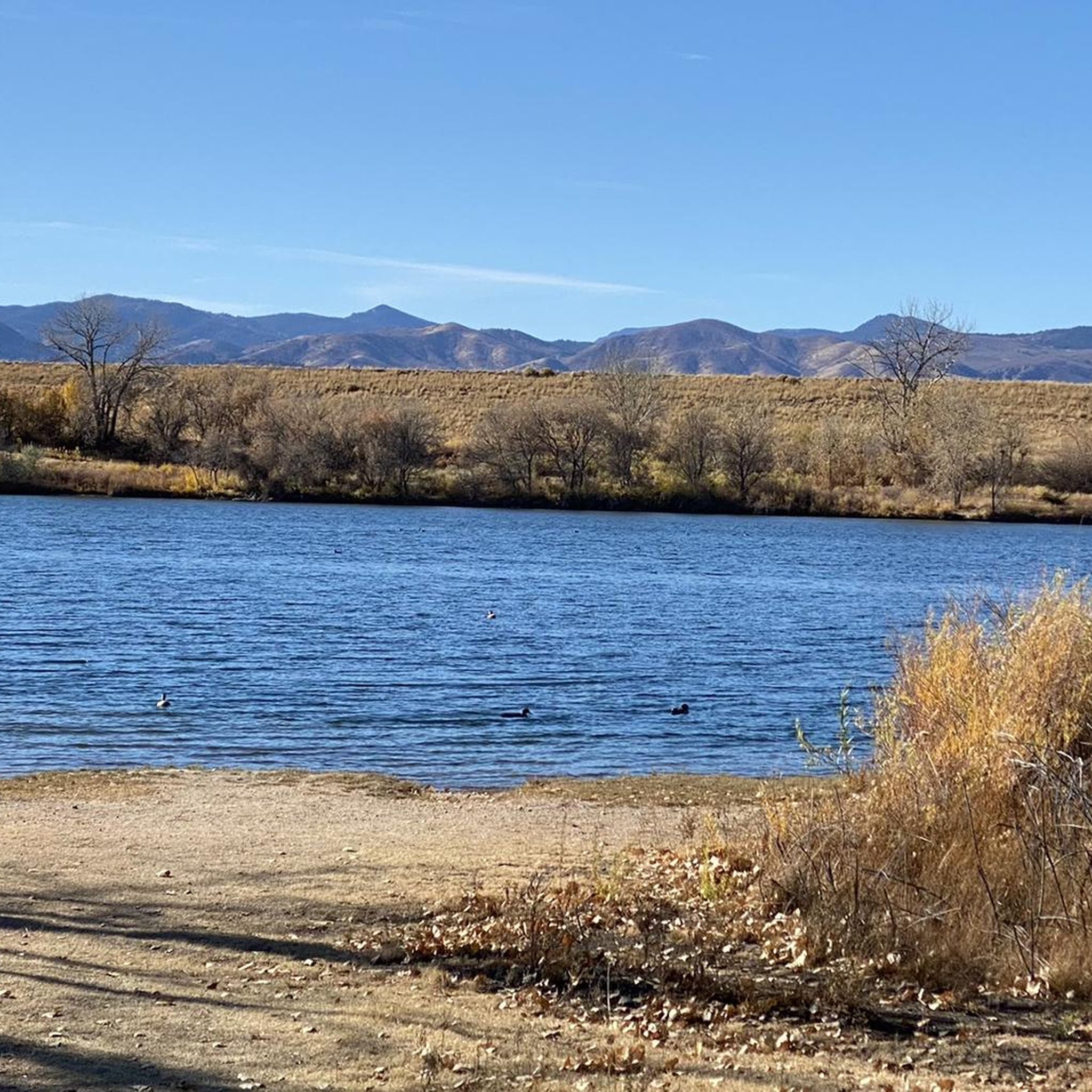

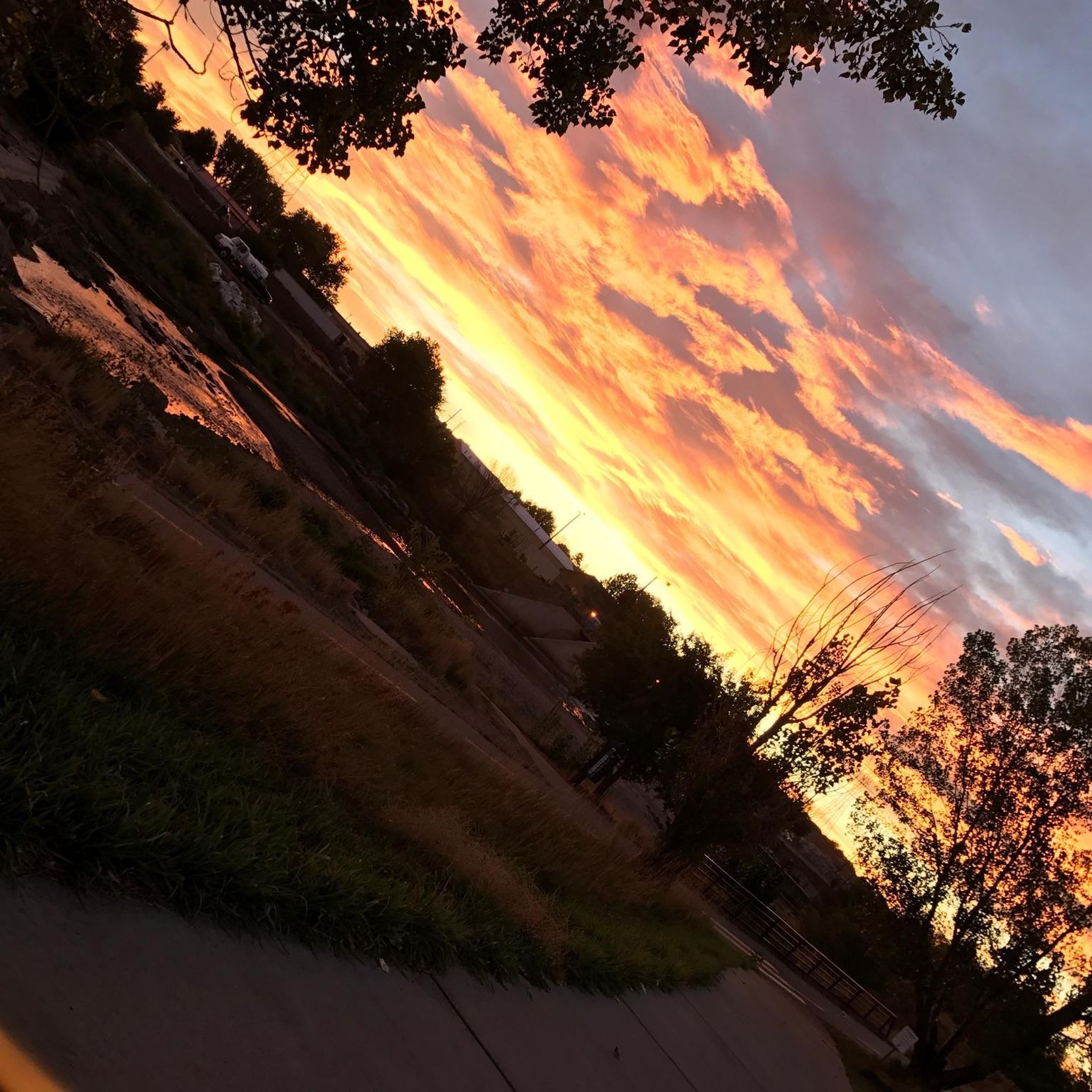
Tips from the Community

Don’t miss the chance to see a SpaceX rocket booster up close. It’s mounted just above the Mary Carter Greenway in Littleton, inside a fenced lot by DISH Network. You can’t go inside, but the view from the bike path is more than enough for a quick, geeky photo stop. The site is open daily from 9 AM to 5 PM.
2
0
This is a strategic point along the High Line Canal Trail with a view over Sumac Hill Farm. You can see the Big Dry Creek basin, the surrounding vegetation, and some of the birdlife that lives here.
0
0

Explore the beauty of the Marjorie Perry Nature Preserve, with soft-surface trails winding through diverse habitats like grasslands, wetlands, and wooded areas. The preserve has views of the Rocky Mountains and opportunities for birdwatching and other wildlife viewing. To protect the ecosystem, visitors must stay on designated trails.
2
0

This is the closest most people will ever get to a rocket booster. It is located right next to the bike path. It is in a fenced area with locked gate. I don't know what the opening hours are. Maybe someone else can post those hours to this highlight when they visit it. https://en.m.wikipedia.org/wiki/List_of_Falcon_9_first-stage_boosters#Booster_1021
0
0

This 59-acre preserve located along the High Line Canal is a great place for bird and wildlife watching and a scenic setting to run in.
0
0

This point marks the intersection and trailhead for the Lee Gulch Trail and the Mary Carter Trail. This major trail junction is along the shores of the South Platte River and is a great resting spot or a spot to visit with the family.
0
0

Redtail Lake is surrounded by a network of trails that offer views of the water, wildlife, and mountains. You can access the lake from the Mary Carter Greenway Trail, which runs along the South Platte River and connects to other trails in the park. Redtail Lake is a great place to enjoy nature and get some exercise in a peaceful setting.
2
0

This lake is best known for its fishing, but it also fronts on the paved Mary Carter Greenway Trail (to the east side of the lake). You can also run a complete loop around the lake, but the rest of the loop will be on dirt and gravel.
0
0
Frequently Asked Questions
Are there many easy, family-friendly hikes in Englewood?
Yes, Englewood is particularly well-suited for families and casual walkers. The majority of the trails are rated as easy, often featuring paved paths and gentle terrain. A great option is the Ketring Lake loop — Ketring Park, which is a very short and flat walk around a lake, perfect for all ages.
Can I bring my dog on the hiking trails?
Many trails in and around Englewood's parks are dog-friendly, provided your dog is kept on a leash. The paths along the South Platte River and within parks like Washington Park are popular spots for dog walkers. Always check the specific regulations for the park you are visiting before you go.
How many hiking trails are available around Englewood?
There are over 60 hiking routes to explore in the Englewood area. The selection is dominated by easy walks and park loops, with a smaller number of moderately challenging options available for those seeking a bit more distance.
Are there any circular walks or loop trails?
Absolutely. Most of the popular routes in the area are loops, which makes planning your walk very convenient. For a straightforward loop around a reservoir, consider the Johnson Reservoir loop from Columbine. It's a pleasant and easy walk that brings you right back to your starting point.
What is the terrain like on Englewood's hiking trails?
The hiking around Englewood is primarily characterized by flat, often paved, paths within city parks and along the South Platte River. You'll find many lakeside loops and trails through open green spaces. While you get views of the distant Rocky Mountain foothills, the local trails themselves do not involve significant elevation gain.
Are there any challenging or difficult hikes in the immediate Englewood area?
No, the trails directly in and around Englewood are rated as easy or moderate. The local terrain is mostly flat. For more difficult mountain hikes, you will need to travel a short distance west into the foothills of the Rocky Mountains, with destinations like Rocky Mountain National Park accessible for day trips.
What do other hikers think of the trails in Englewood?
The trails are highly regarded by the komoot community, which has given the area an average rating of 4.5 out of 5 stars. Hikers often praise the accessibility of the trails and the pleasant scenery within the numerous parks.
Are there any trails with shade?
Yes, many of the park-based trails, such as the Lilly Pond loop from Washington Park, feature sections with large, mature trees like cottonwoods that provide good shade, especially during the summer months. Trails along the South Platte River also offer intermittent tree cover.
What is the best time of year to hike in Englewood?
You can hike in Englewood year-round. Spring, summer, and fall offer pleasant weather for exploring the park systems. Winter hikes are also possible as many paths are paved and maintained, but be prepared for cold temperatures and potentially icy conditions.
Are there any state parks with hiking trails near Englewood?
Yes, several popular state parks are just a short drive away. Cherry Creek State Park and Chatfield State Park are two nearby options that offer extensive trail networks for hiking, biking, and wildlife viewing around large reservoirs.
Can I access the trails using public transport?
Many of the trails within Englewood's city parks are accessible via local bus routes. For trails that are part of the larger regional network, like the South Platte River Trail, you can often find access points near RTD Light Rail stations in the metro area.
Most popular attractions around Englewood

Get inspired with the komoot mobile app


Explore more
Browse the best Hikes in other regions.
