The best MTB trails around Desselbrunn
4.6
(2099)
8,928
riders
324
rides
Mountain biking around Desselbrunn offers varied terrain across glacial gravel terraces situated between the Ager, Aurach, and Traun rivers. The landscape, largely flat between 410 and 455 meters above sea level, features steep drops of approximately 30 meters down to these rivers, creating interesting elevation changes for mountain bike trails. Approximately 22% of the area is forested, providing natural settings for routes. This combination of riverine landscapes, elevation shifts, and woodlands makes Desselbrunn a suitable destination for mountain biking.
Best…
Last updated: October 4, 2026
4.8
(30)
104
riders
42.0km
03:27
800m
800m
Moderate mountain bike ride. Good fitness required. Advanced riding skills necessary.
5.0
(9)
42
riders
49.9km
03:02
290m
290m
Moderate mountain bike ride. Good fitness required. Suitable for all skill levels.

4.6
(13)
61
riders
Hard mountain bike ride. Good fitness required. Advanced riding skills necessary. Some portions of the route may require you to push your bike.
4.0
(4)
20
riders
35.7km
02:56
660m
660m
Moderate mountain bike ride. Good fitness required. Suitable for all skill levels.
11
riders
38.6km
03:17
730m
730m
Moderate mountain bike ride. Good fitness required. Advanced riding skills necessary.
Get access to more routes and recommendations from other explorers.
Already have an account?
Our route recommendations are based on thousands of hikes, rides, and runs completed by other people on komoot.
Start today with a free account
Your next adventure awaits.

Tips from the Community

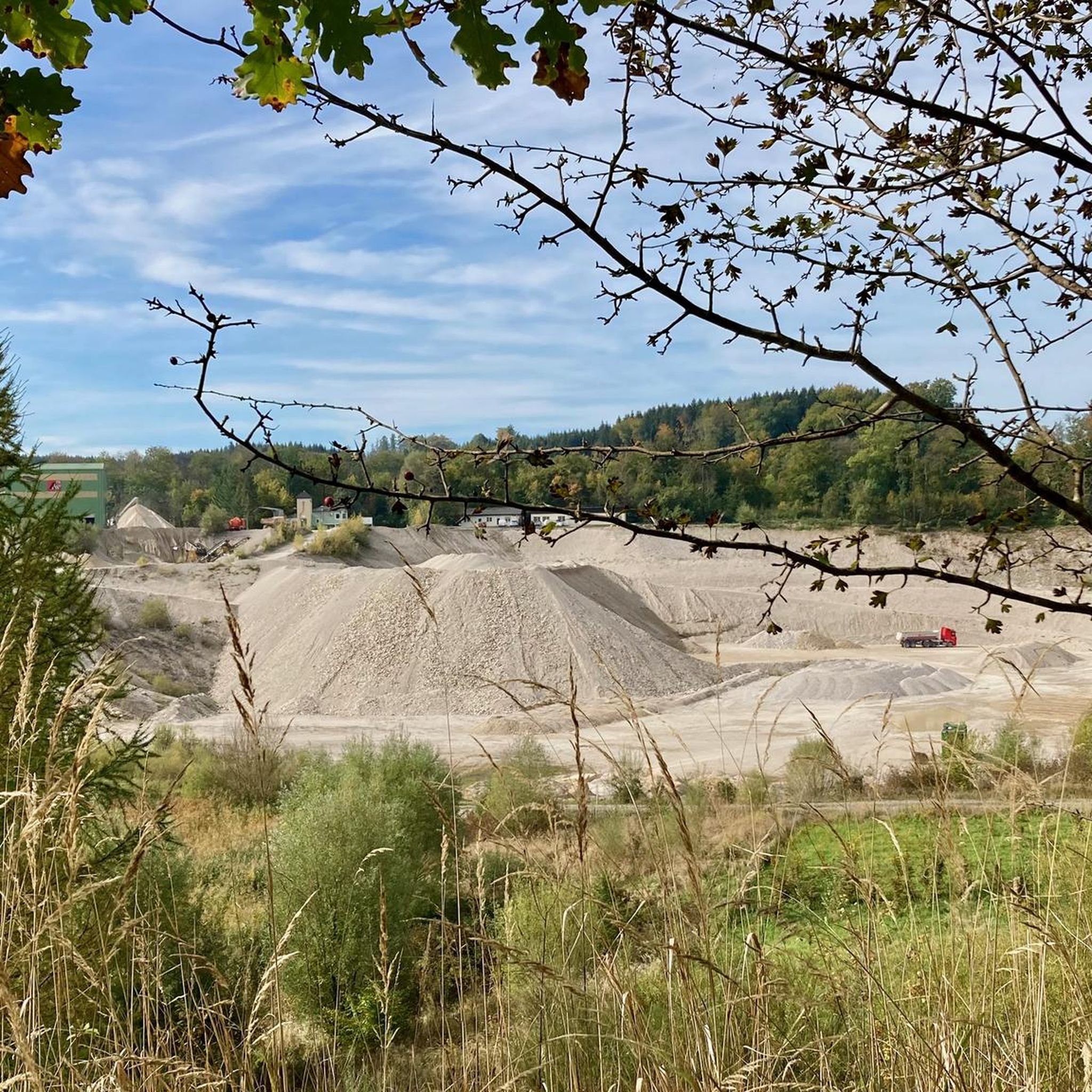
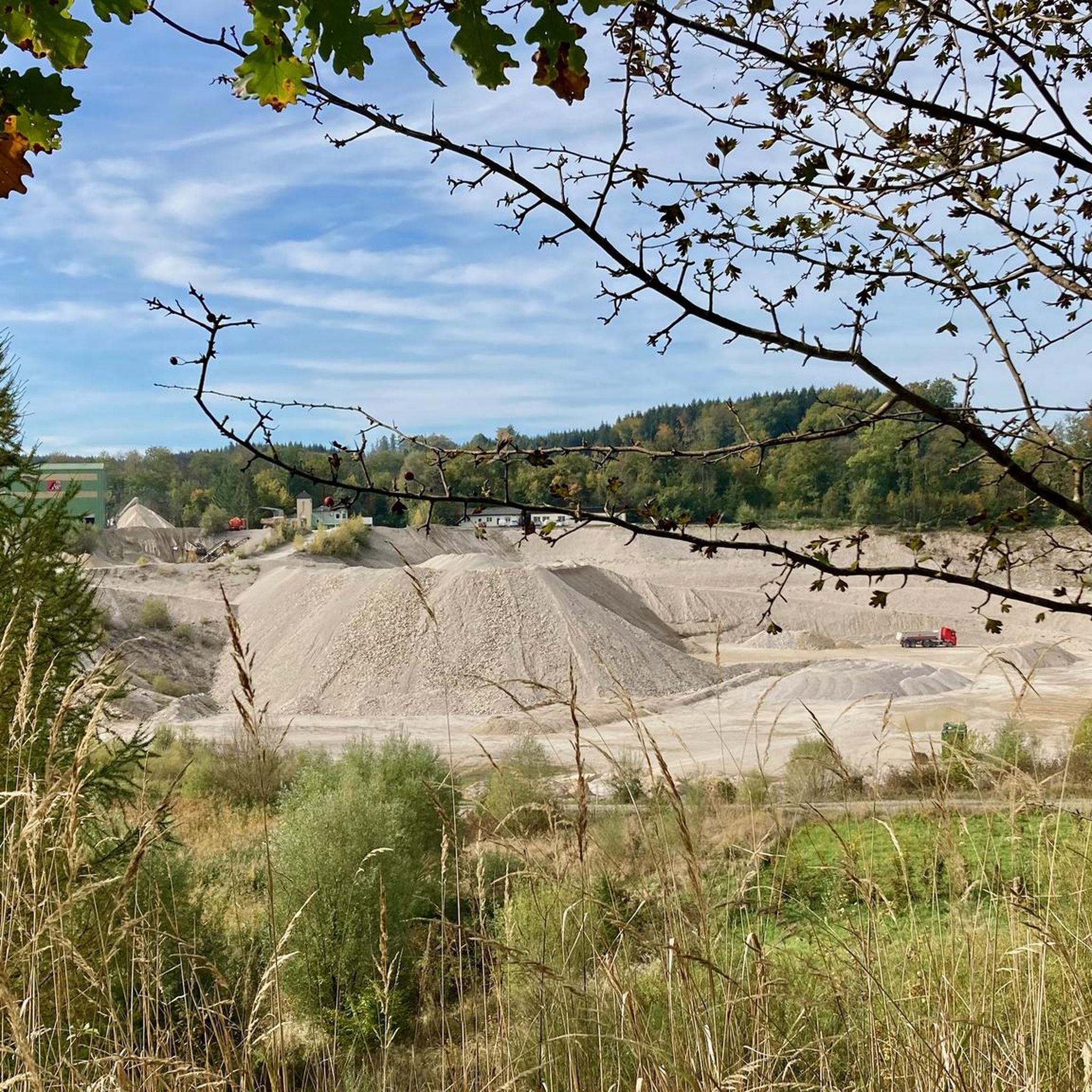
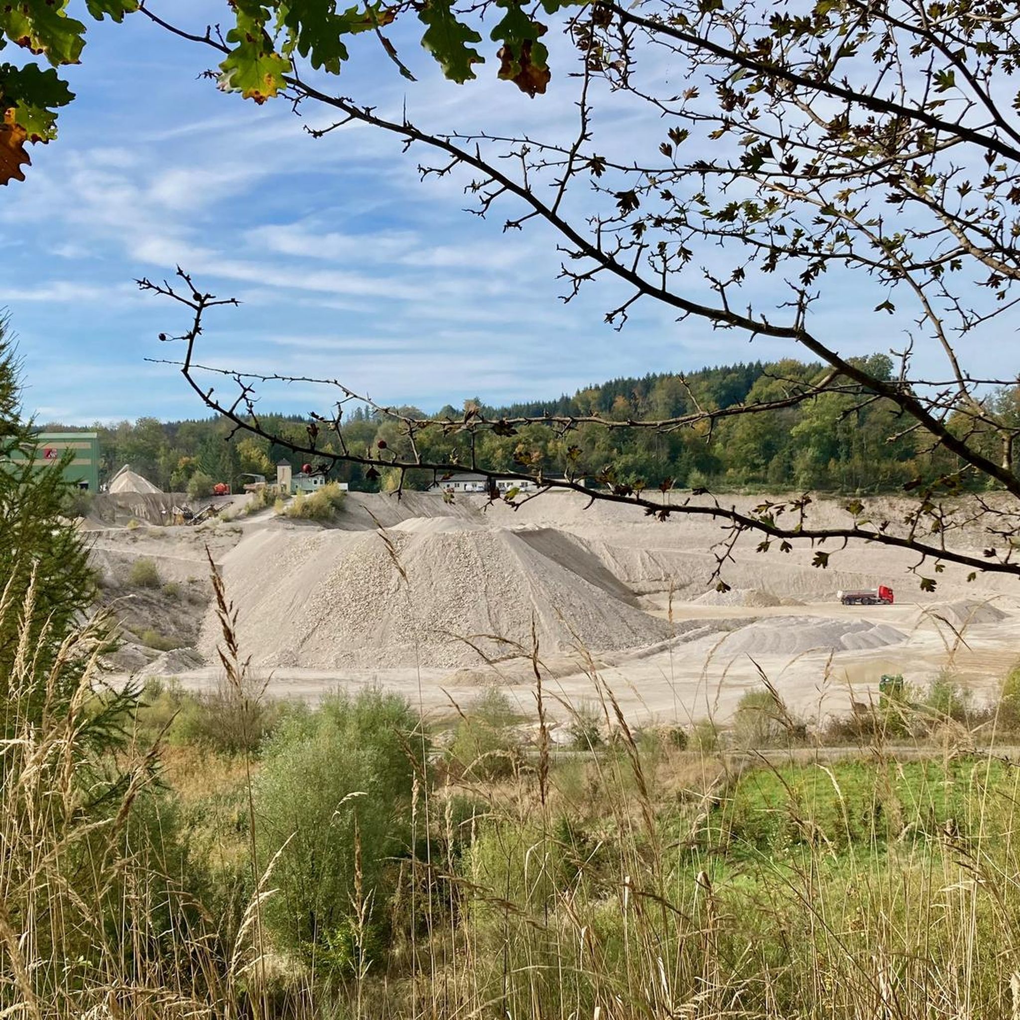
Very nice spot at an MTB trail junction with a rest area and information boards. Unfortunately, the MTB route from Aurach via Gstötten & Halbmoos up here is not marked on Komoot 🧐 - it is then visible on the map up here (green dots)
0
0

From there you have a beautiful first view of the Attersee
0
0
Gustav Klimt left many traces on the Attersee, which are now fully utilized for tourism 😜. The cafe/restaurant offers a relatively quiet spot for a rest and refreshment 😋
0
0

Always beautiful on the Esplanade.
0
0

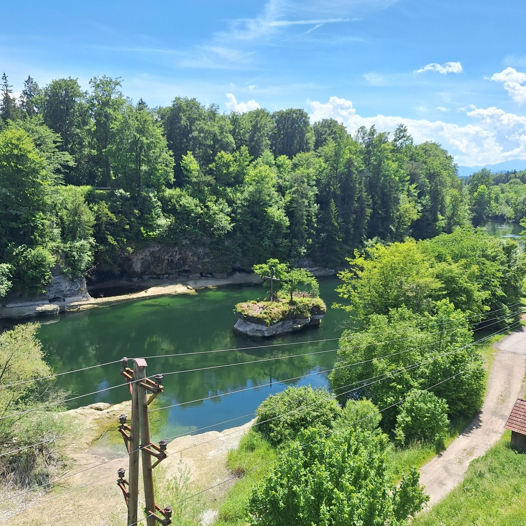
Below there are often fishermen. Very beautiful view.
0
0
Great destination for an outing, I also recommend swimming (but swim relatively quickly here, as it is very muddy).
0
0

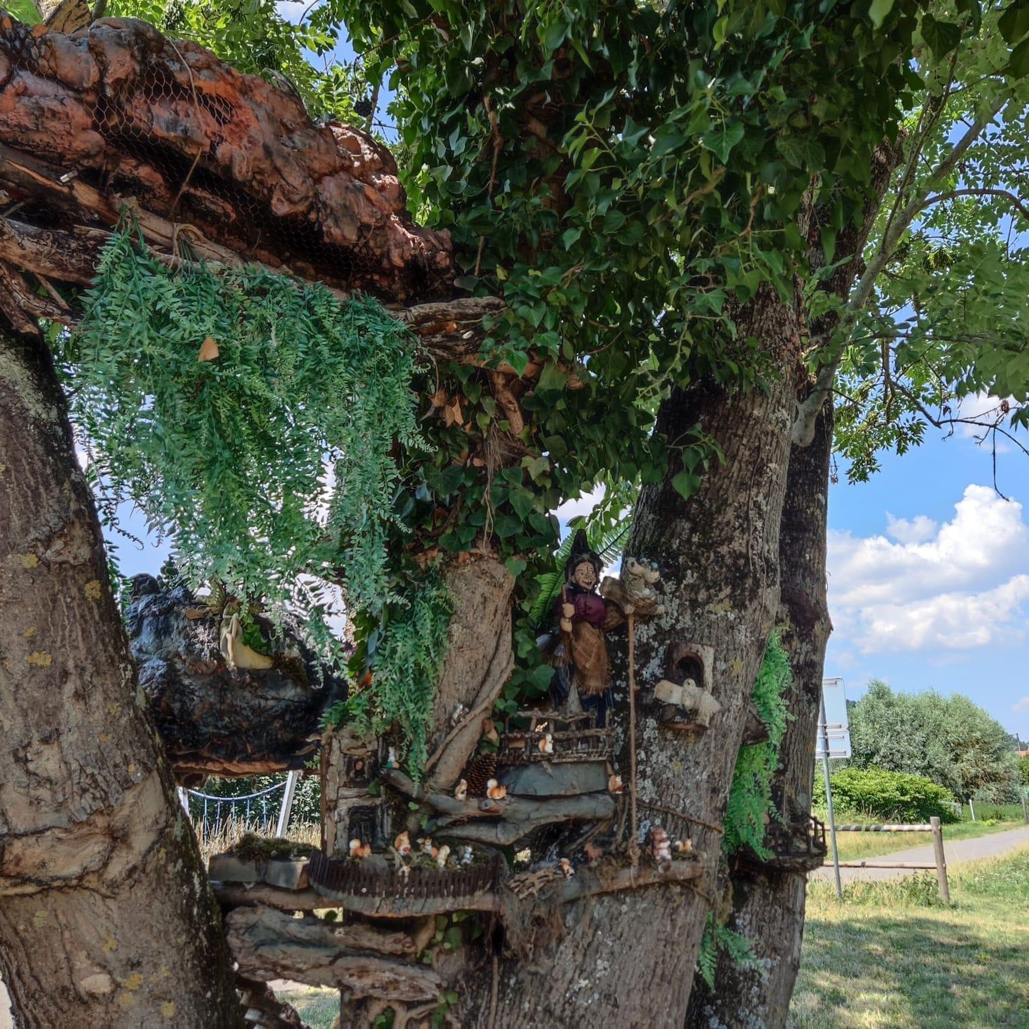
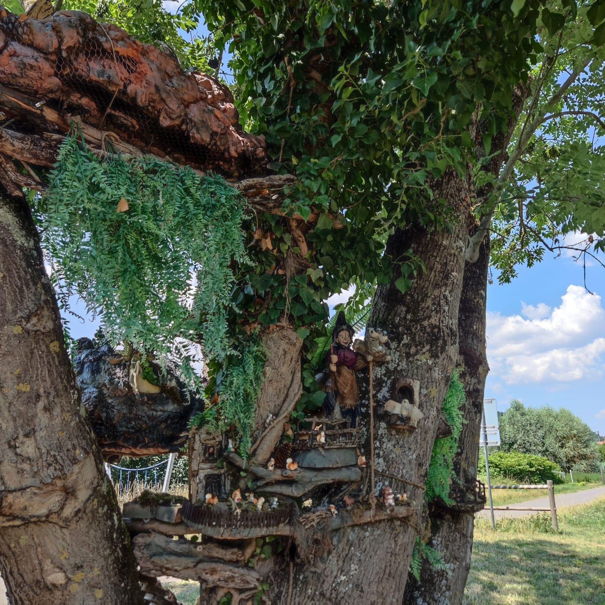
Along the path, wooden sculptures about the legend of the giant's and the nixie's love. The Siebenbrünnlein also tells a legend about the witch Kranawitha.
0
0
Frequently Asked Questions
How many mountain bike trails are available around Desselbrunn?
There are over 340 mountain bike trails around Desselbrunn, offering a wide variety of options for different preferences and skill levels.
What kind of terrain can I expect on mountain bike trails in Desselbrunn?
The terrain around Desselbrunn is quite varied. You'll find routes across glacial gravel terraces, with interesting elevation changes due to steep drops down to the Ager, Aurach, and Traun rivers. Approximately 22% of the area is forested, providing natural settings for trails.
Are there mountain bike trails for all skill levels in Desselbrunn?
Yes, Desselbrunn offers mountain bike trails suitable for various abilities. You can find 88 easy routes, 218 moderate routes, and 35 difficult routes, ensuring there's something for everyone.
Are there any waterfalls to see while mountain biking near Desselbrunn?
Yes, the impressive Traunfall Waterfall is a notable natural attraction in the vicinity. It's approximately 200 meters wide and 12 meters deep, offering a spectacular sight.
What historical or cultural sights can I explore near the mountain bike routes?
Beyond the trails, you can visit cultural and historical sites such as Lambach Abbey, a Benedictine abbey on the Way of St. James, or Schloss Windern, a historic castle with four towers. You might also encounter other castles like Ort Castle or Cumberland Castle.
What are some scenic viewpoints or natural features along the trails?
Many routes offer scenic views of the surrounding riverine landscapes and forested areas. For example, the View of Laudachsee – Lake Laudach loop from Laakirchen provides views of Laudachsee, while the View of Lake Attersee – St. Vitus Church in Oberegau loop from Wankham offers vistas of Lake Attersee.
Are there mountain bike loop trails around Desselbrunn?
Yes, many of the mountain bike routes in the Desselbrunn area are designed as loops. For instance, the Peace Bridge over the River Traun – Gmunden - Town Hall Square loop from Desselbrunn is a popular circular route.
What do other mountain bikers enjoy the most about mountain biking in Desselbrunn?
The area is highly rated by the komoot community, with an average score of 4.6 stars from over 1,700 reviews. Mountain bikers often praise the varied terrain, the scenic riverine landscapes, and the well-maintained trails that cater to different skill levels.
Are there any trails that offer views of the Hongar Summit?
Yes, there are routes that provide views of the Hongar Summit. The Hongar Summit and Viewpoint – View from the Hongar loop from Wankham is one such trail, offering great vistas.
What is the best time of year for mountain biking in Desselbrunn?
Desselbrunn's varied landscape makes it suitable for mountain biking throughout much of the year, though spring and autumn often provide the most pleasant temperatures and vibrant scenery. Always check local weather conditions before heading out.
Are there any specific regulations or permits required for mountain biking in Desselbrunn?
While general access to trails is common, it's always advisable to check for any specific local regulations or permits, especially when riding through protected areas or private land. Information on trail usage can often be found through local tourism offices or official cycling associations.
Most popular routes around Desselbrunn
Most popular attractions around Desselbrunn

Get inspired with the komoot mobile app


Explore more
Browse the best MTB trails in other regions.
