The best road cycling routes around Strawberry
4.5
(261)
10,698
riders
89
rides
Road cycling routes around Strawberry, California, are primarily found in the Marin County area, characterized by its proximity to the San Francisco Bay and the Pacific coast. The region features diverse terrain, including coastal roads, rolling hills, and routes offering views of the Bay Area and significant natural landmarks. Cyclists navigate through areas with varied elevation changes, from sea-level paths to climbs into the hills. The landscape is defined by its coastal proximity, offering a mix of open vistas and…
Last updated: May 27, 2026
4.5
(2)
246
riders
93.5km
04:40
1,130m
1,130m
Hard road ride. Very good fitness required. Mostly well-paved surfaces and easy to ride.
5.0
(2)
128
riders
31.0km
01:52
710m
710m
Moderate road ride. Good fitness required. Mostly well-paved surfaces and easy to ride.

Sign up for free
86
riders
67.1km
03:12
700m
700m
Moderate road ride. Good fitness required. Mostly well-paved surfaces and easy to ride.
32
riders
111km
05:10
1,140m
1,140m
Hard road ride. Very good fitness required. Mostly well-paved surfaces and easy to ride.
5.0
(3)
78
riders
Easy road ride. Great for any fitness level. Mostly well-paved surfaces and easy to ride.
Get access to more routes and recommendations from other explorers.
Sign up for free
Already have an account?
Our route recommendations are based on thousands of hikes, rides, and runs completed by other people on komoot.
Start today with a free account
Your next adventure awaits.
Login or Signup

Tips from the Community


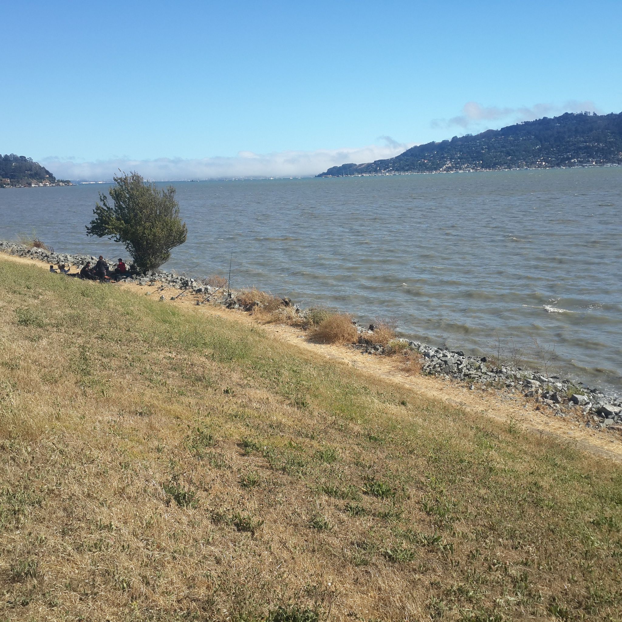
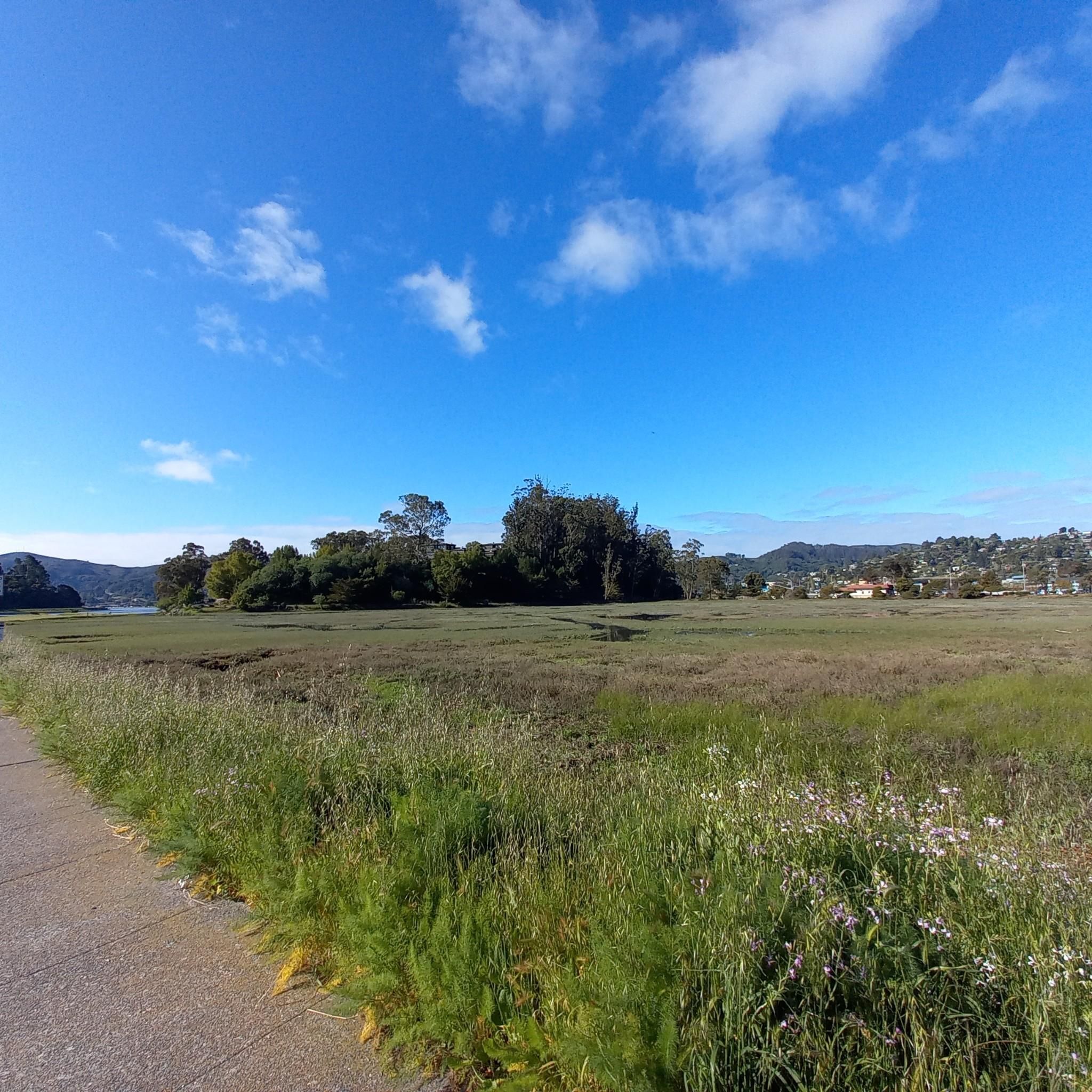
The Old Tiburon Rail Trail is a scenic 2.6-mile path along the San Francisco Bay, with breathtaking water views and Mt. Tamalpais. Starting at Blackie's Pasture, it winds past coastal mudflats full of wildlife before transitioning into an on-street bike lane leading to downtown Tiburon. It's a fantastic, smooth ride with historical markers, parks, and a ferry terminal at the trail's end, making it an ideal place to enjoy nature and local history for a day away from the big city.
0
1

The Pantoll Campground is a First-come/first-serve site in Mt. Tamalpais State Park. Each site has a barbeque grill, a fire ring, and a picnic table. You need to pay for the site at the Ranger Station as you enter the park.
1
0

Now open for more than a hundred years, this inn welcomes visitors high on the flanks of Mount Tamalpais. The guestrooms mostly face east, but the grounds include great vantages to the west over the Bay. There's also a restaurant, and this has been voted one of the most romantic spots in the Bay Area several times over.
0
0


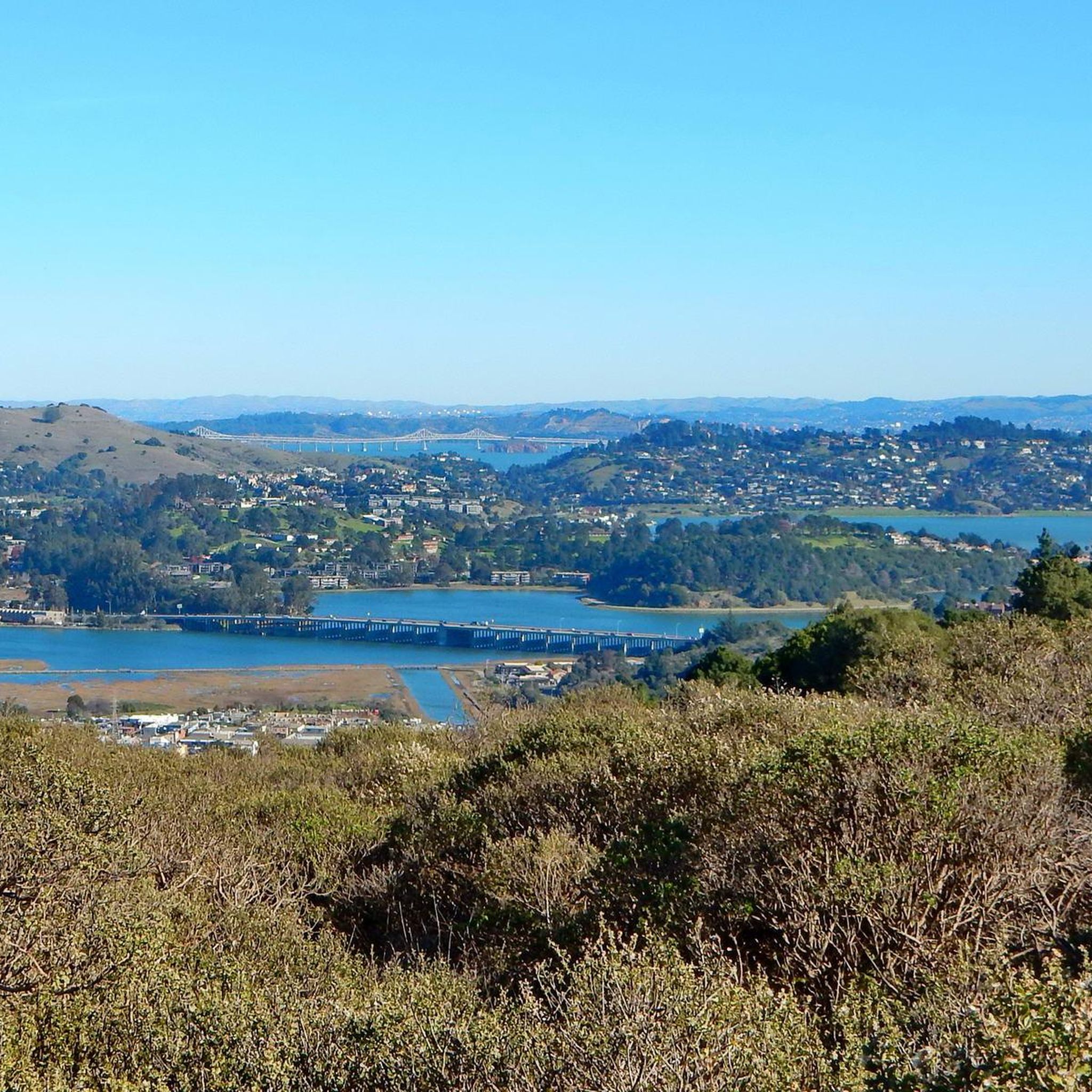
This being the lowest point to cross the San Rafael ridge it's great the recent revamp of this bottleneck included improving the dedicated wide bike trail, paved and lighted with several tunnels and sound protection parallel to the widened Hwy 101 freeway and the partially tunnelled SMART railway.
1
0
This trail, part of the Pacific Coast Bike Trail (PCB), is a fantastic, mostly paved two-lane bike route that follows Lagunitas Creek under towering redwood forests and runs parallel to Sir Francis Drake Boulevard on the other side of the valley. It continues south from the campground all the way to the southern exit of the Park.
0
0
Frequently Asked Questions
How many road cycling routes are available around Strawberry?
There are over 80 road cycling routes around Strawberry, primarily concentrated in the Marin County area. These routes offer a diverse range of experiences, from coastal paths to challenging climbs through forested hills.
Are there road cycling routes suitable for beginners or families in Strawberry?
Yes, Strawberry offers routes suitable for various skill levels. There are nearly 40 easy routes and over 30 moderate routes, providing options for beginners and families. While specific family-friendly routes aren't detailed, areas like the Sausalito Path or sections of the San Francisco Bay Trail in Marin County are generally known for being accessible.
What kind of terrain can I expect on road cycling routes near Strawberry?
The terrain around Strawberry, particularly in Marin County, is quite varied. You can expect coastal roads with stunning Bay Area views, rolling hills, and routes with significant elevation changes as you climb into forested sections. The region offers a mix of open vistas and shaded paths.
What are some challenging road cycling routes for experienced riders?
For experienced riders seeking a challenge, routes like the Shoreline Highway loop from Sausalito offer significant elevation gain and coastal views over 58 miles. Another demanding option is the Pan Toll Road via Panoramic Highway, which features sustained climbing through scenic mountain terrain.
What can I see along the road cycling routes in the Strawberry area?
Many routes offer scenic viewpoints and access to notable landmarks. You can cycle past the iconic Golden Gate Bridge, explore the historic Fort Point, or enjoy the natural beauty of Muir Woods National Monument. Coastal routes often provide views of the Pacific Ocean and the San Francisco Bay.
Are there any loop road cycling trails in Strawberry, California?
Yes, several loop routes are available. For instance, the Shoreline Highway loop from Sausalito and the Sir Francis Drake and Cross Marin Trail Loop are popular options that allow you to start and end in the same location, offering diverse scenery along the way.
What is the best time of year for road biking in Strawberry?
The Marin County area, where most of these routes are located, is popular for cycling during June and August due to favorable weather. However, the mild California climate often allows for enjoyable road cycling throughout much of the year, though conditions can vary with elevation and proximity to the coast.
What do other road cyclists enjoy most about road cycling in Strawberry?
The area is highly rated by the komoot community, with an average score of 4.7 stars from over 200 reviews. Reviewers often praise the diverse terrain, stunning coastal and Bay Area views, and the challenging climbs through scenic forested hills.
Are there options for parking at trailheads for road cycling routes?
While specific parking details for every trailhead are not provided, many popular cycling areas in Marin County, such as Sausalito, Mill Valley, and Tiburon, offer public parking facilities. It's advisable to check local parking regulations and availability for your chosen starting point.
Can I reach road cycling trails near Strawberry using public transport?
Given Strawberry's proximity to the San Francisco Bay Area, public transport options like ferries to Sausalito or buses within Marin County can provide access to various starting points for road cycling routes. Cyclists often combine public transport with their rides to explore different sections of the region.
Are there any specific natural features or attractions to look out for?
Beyond the cycling routes themselves, the region boasts significant natural beauty. You can find highlights like Phoenix Lake, the serene Bothin Marsh Preserve, and various viewpoints such as Remillard Park, offering picturesque stops along your ride.
Are there any easy, flat road cycling routes in the Strawberry area?
While many routes involve elevation changes, you can find flatter sections, particularly along coastal paths and designated cycleways. The Sausalito Path and parts of the San Francisco Bay Trail offer more gentle gradients, suitable for a relaxed ride.
Most popular attractions around Strawberry

Get inspired with the komoot mobile app


Explore more
Browse the best Road cycling routes in other regions.
