The best walks and hikes around Strawberry
4.8
(592)
11,330
hikers
332
hikes
Hiking around Strawberry, an unincorporated community in Tuolumne County, California, offers access to diverse natural landscapes within or near the Stanislaus National Forest. The region is characterized by granite formations, alpine lakes, and extensive forests of pine and sequoia. Situated at an elevation of 5,325 feet (1,623 m), it provides a variety of trails suitable for different skill levels.
Best hiking trails around Strawberry
- The most popular hiking route is Old Rail Trail, a 2.0 miles (3.2 km) trail…
Last updated: June 24, 2026
21
hikers
3.24km
00:50
20m
10m
Easy hike. Great for any fitness level. Easily-accessible paths. Suitable for all skill levels.
6
hikers
16.6km
04:13
50m
50m
Moderate hike. Good fitness required. Easily-accessible paths. Suitable for all skill levels.

Sign up for free
5
hikers
5.45km
01:22
10m
10m
Easy hike. Great for any fitness level. Easily-accessible paths. Suitable for all skill levels.
5
hikers
2.25km
00:34
10m
0m
Easy hike. Great for any fitness level. Easily-accessible paths. Suitable for all skill levels.
23.0km
06:06
250m
200m
Hard hike. Very good fitness required. Easily-accessible paths. Suitable for all skill levels.
Get access to more routes and recommendations from other explorers.
Sign up for free
Already have an account?
Our route recommendations are based on thousands of hikes, rides, and runs completed by other people on komoot.
Start today with a free account
Your next adventure awaits.
Login or Signup

Tips from the Community

Directly on the Golden Gate Bridge
0
0

Information Center for the Golden Gate National Recreation Area, San Francisco city, and a plaza with Memorial to Joseph Strauss (chief designer of the Golden Gate Bridge, Artist: Frederick William Schweigardt 1885–1948), restrooms, and drinking water fountains as well as maps.
0
0

Joseph Strauss (chief designer of the Golden Gate Bridge) Memorial, San Francisco, California. Artist: Frederick William Schweigardt (1885–1948)
5
0

Viewpoint on SF
0
0

Really nice spot to view the Golden Gate Bridge!
2
0

Once the bulwark to defend the entrance to the bay
0
0

This Fort Point is located at the southern beginning/end of the Golden Gate Bridge. The red brick fort was built between 1853 and 1861 to protect access to San Francisco Bay. So it is one of the first military buildings in the American West. Up to 500 soldiers and a total of 126 cannons were housed here and protected the entrance to the bay from there.
0
0

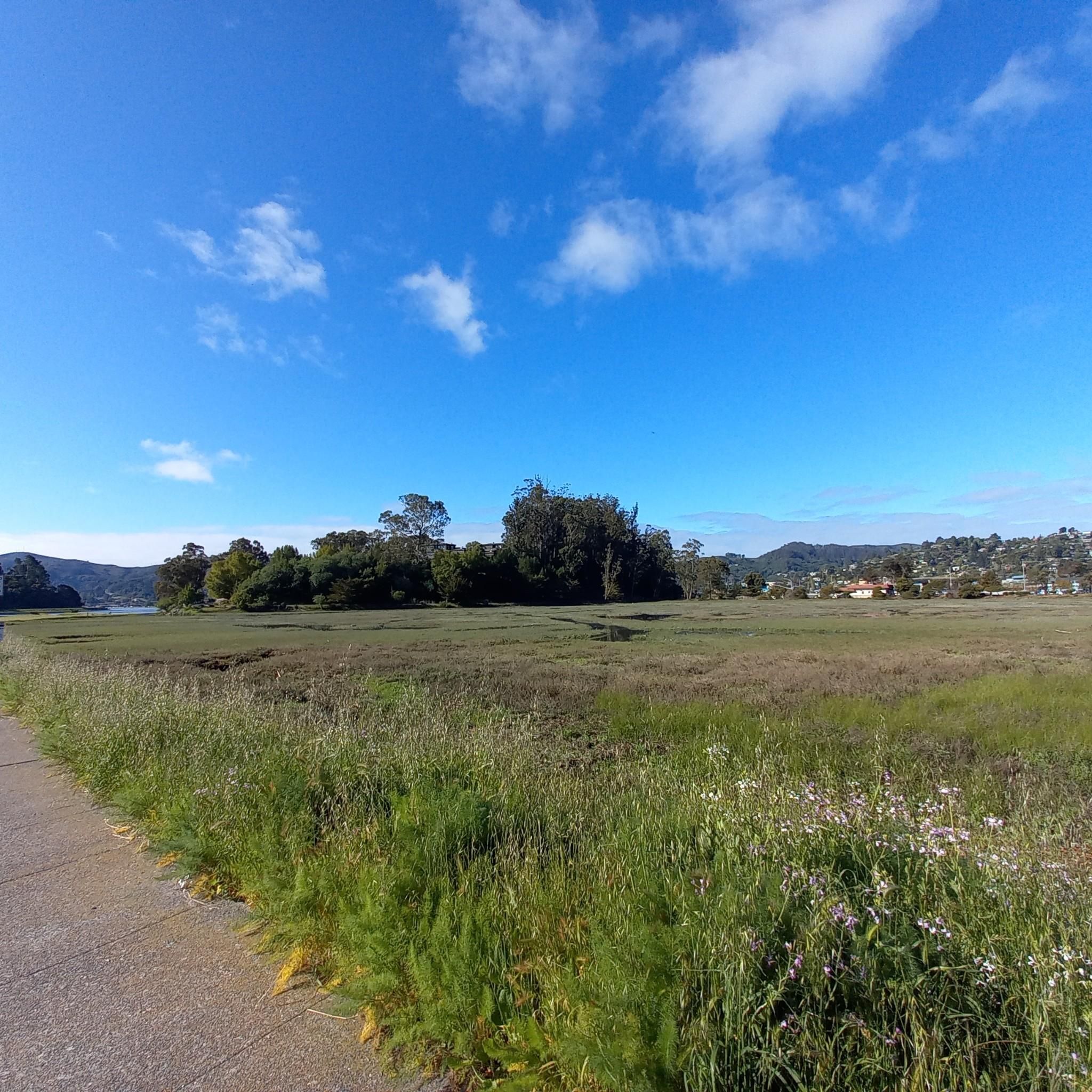
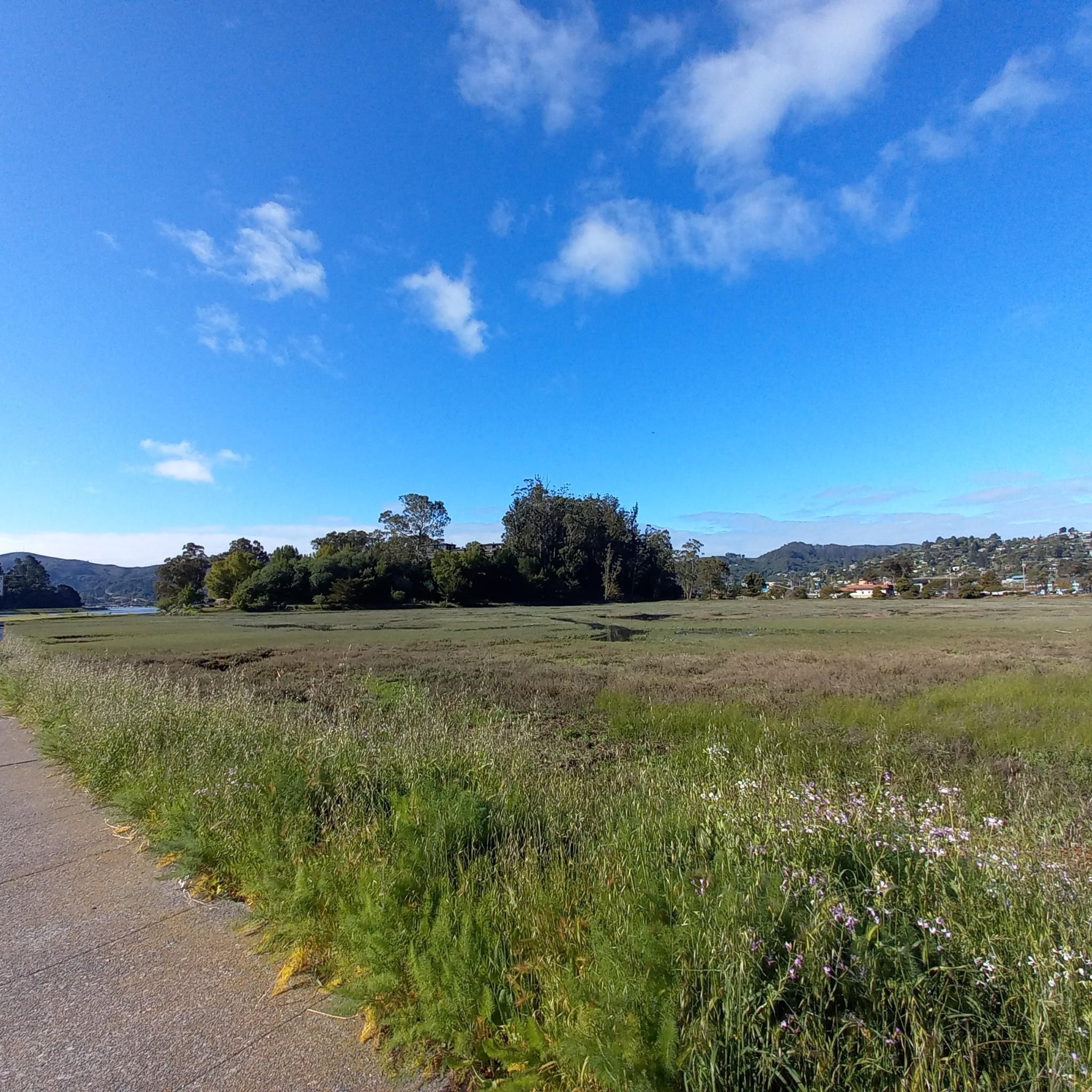
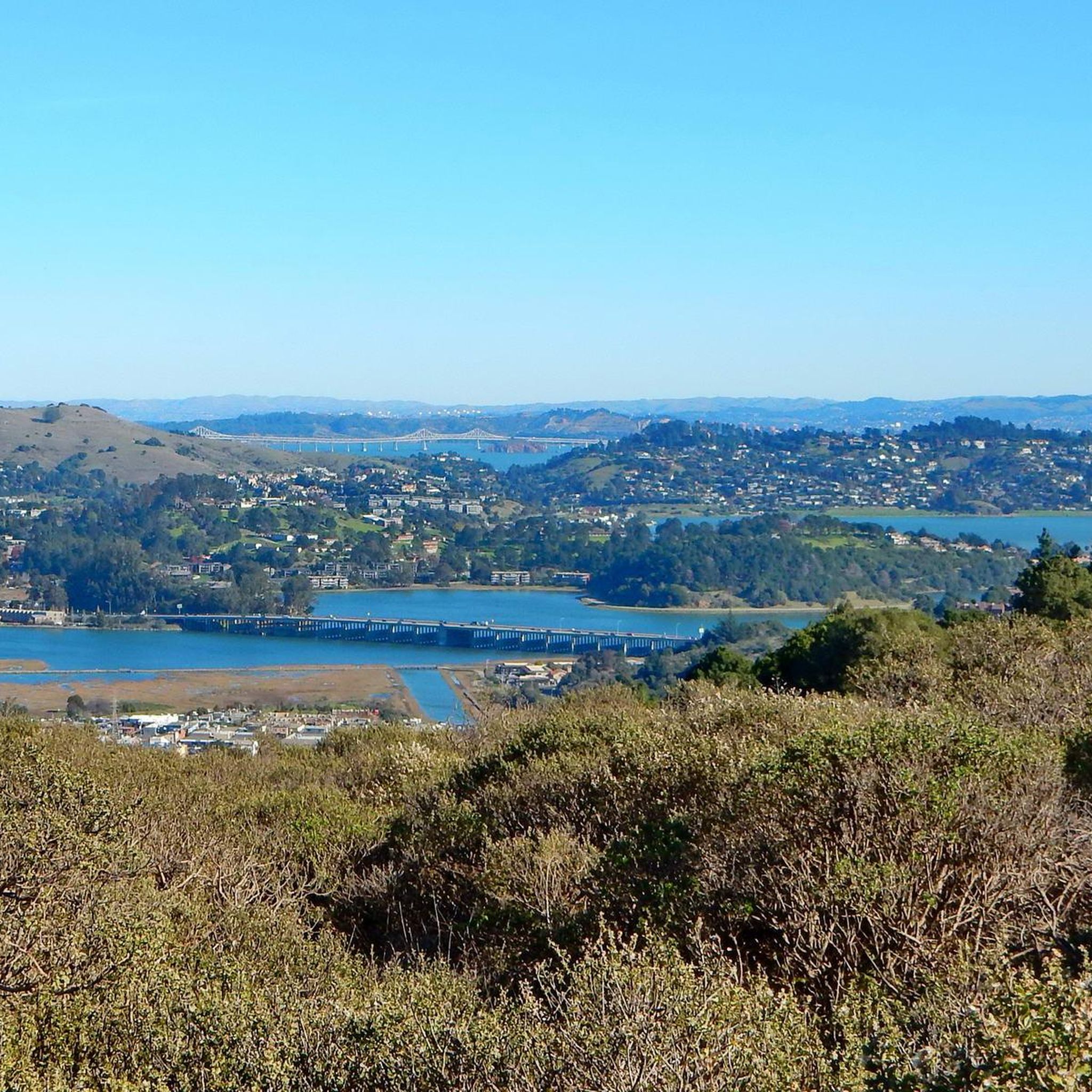
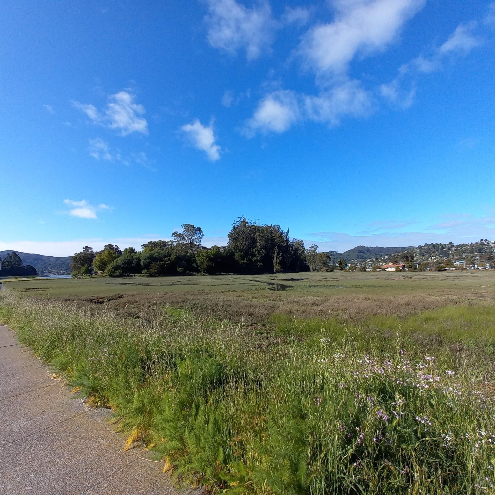
This tidal sanctuary runs along the Mill Valley-Sausalito Pathway and the Charles F. McGlashan Pathway. More than 400 species of migratory birds rest here after their long flights, and if you pass through in the early morning or late evening, the sunrises and sunsets reflect beautifully on the surface of this 106-acre marsh.
0
0
Frequently Asked Questions
How many hiking trails are available around Strawberry?
Strawberry offers a wide variety of hiking opportunities, with over 290 routes recorded on komoot. These trails cater to all skill levels, from easy strolls to more challenging mountain excursions within the Stanislaus National Forest.
What kind of terrain can I expect on hikes near Strawberry?
The terrain around Strawberry is diverse, characterized by impressive granite formations, serene alpine lakes, and extensive forests of pine and sequoia. You'll find trails that parallel rivers, wind through open hillsides, and ascend into rugged mountain landscapes.
Are there easy, family-friendly hiking options in Strawberry?
Yes, Strawberry has many easy trails suitable for families. For instance, the Ring Mountain to Loop Trail via Phyllis Ellman Trail is an easy route featuring varied terrain. The historic Sugar Pine Railway Trail, though not listed in the guide data, is also known for its gentle, scenic path along the South Fork of the Stanislaus River, making it a great choice for a leisurely outing.
Are there any circular hiking routes in the area?
Yes, several circular routes are available. A popular option is the Ring Mountain & Turtle Rock loop, which offers scenic views and passes by notable rock formations. Another excellent choice is the Bob Middagh & Horse Hill Trail loop, leading through open hillsides.
What are the best times of year to go hiking in Strawberry?
Strawberry, situated at 5,325 feet (1,623 m) elevation, offers distinct seasonal experiences. Spring and fall generally provide pleasant temperatures for hiking. Summer is also popular, especially for higher elevation trails. Winter brings snow, transforming the landscape and offering opportunities for snowshoeing or cross-country skiing, though many hiking trails may be inaccessible.
What kind of landmarks or natural features can I see on hikes around Strawberry?
Hikers can explore diverse natural features, including granite formations, alpine lakes, and extensive forests. The South Fork of the Stanislaus River is a prominent natural feature, providing beautiful backdrops. Nearby attractions include Phoenix Lake and various viewpoints like Sunrise Site.
Are there dog-friendly trails in Strawberry?
Many trails within the Stanislaus National Forest are dog-friendly, though leash regulations and specific area restrictions may apply. It's always best to check local signage or the Stanislaus National Forest website for the most current rules regarding pets on trails.
What is the general difficulty level of hikes in Strawberry?
The hiking trails around Strawberry cater to a wide range of abilities. Approximately 131 routes are rated as easy, 135 as moderate, and 31 as difficult. This means you can find everything from gentle walks to challenging mountain excursions.
What do other hikers say about the trails in Strawberry?
The hiking routes in Strawberry are highly rated by the komoot community, with an average score of 4.8 stars from over 570 reviews. Hikers often praise the diverse natural landscapes, including granite formations, alpine lakes, and serene forests, as well as the variety of trails suitable for different skill levels.
Where can I find parking for hiking trails in Strawberry?
Access to trails like the Sugar Pine Railway Trail is available from Old Strawberry Road or the bridge at Fraser Flat Campground, where parking is typically available. For other trails within the Stanislaus National Forest, designated trailheads usually offer parking facilities. Always check specific trailhead information for parking availability and any required permits.
Are there any longer, more challenging hikes available?
Yes, for those seeking a greater challenge, there are 31 routes rated as difficult. An example of a moderate route that offers a longer experience is the Richardson Bay & Alta Trail loop, which covers over 15 kilometers and involves significant elevation changes.
Most popular attractions around Strawberry

Get inspired with the komoot mobile app


Explore more
Browse the best Hikes in other regions.
