The best road cycling routes around Santa Rosa Valley
4.3
(14)
663
riders
62
rides
Road cycling around Santa Rosa Valley features a landscape characterized by rolling hills and agricultural lands, providing a scenic backdrop for rides. The region offers diverse terrain, from valley roads to routes with significant elevation gains. Distant views of the Santa Ynez Mountains are visible from many routes. This area provides varied road cycling experiences across its rural and natural settings.
Best road cycling routes around Santa Rosa Valley
- The most popular road cycling route is Ojai & Ventura loop, a 94.3 miles (151.8 km) trail that takes 6 hours 51 minutes to complete. This difficult route features significant elevation gain through varied terrain.
- Another top favourite among local road cyclists is Point Mugu State Park loop, a difficult 63.0 miles (101.4 km) path. This route offers coastal views and challenging climbs.
- Local road cyclists also love the Great Views – View of Lake Eleanor Ridge loop from Wildwood Park, a 43.4 miles (69.8 km) trail leading through scenic hills, often completed in about 3 hours 35 minutes.
- Road cycling around Santa Rosa Valley is defined by rolling hills, agricultural lands, and distant mountain views. The network offers options for different ability levels, from easy valley rides to challenging climbs.
- The routes in Santa Rosa Valley are highly rated by the komoot community with an average score of 4.7 stars from over 20 reviews. More than 1000 road cyclists have used komoot to explore Santa Rosa Valley's varied terrain.
Last updated: July 10, 2026
10
riders
152km
06:51
1,500m
1,500m
Hard road ride. Very good fitness required. Mostly well-paved surfaces and easy to ride.
7
riders
101km
04:46
1,070m
1,070m
Hard road ride. Very good fitness required. Mostly well-paved surfaces and easy to ride.

Sign up for free
53
riders
59.2km
02:47
640m
640m
Moderate road ride. Good fitness required. Mostly well-paved surfaces and easy to ride.
42
riders
Moderate road ride. Good fitness required. Mostly well-paved surfaces and easy to ride.
19
riders
Moderate road ride. Good fitness required. Mostly well-paved surfaces and easy to ride.
Get access to more routes and recommendations from other explorers.
Sign up for free
Already have an account?
Our route recommendations are based on thousands of hikes, rides, and runs completed by other people on komoot.
Start today with a free account
Your next adventure awaits.
Login or Signup
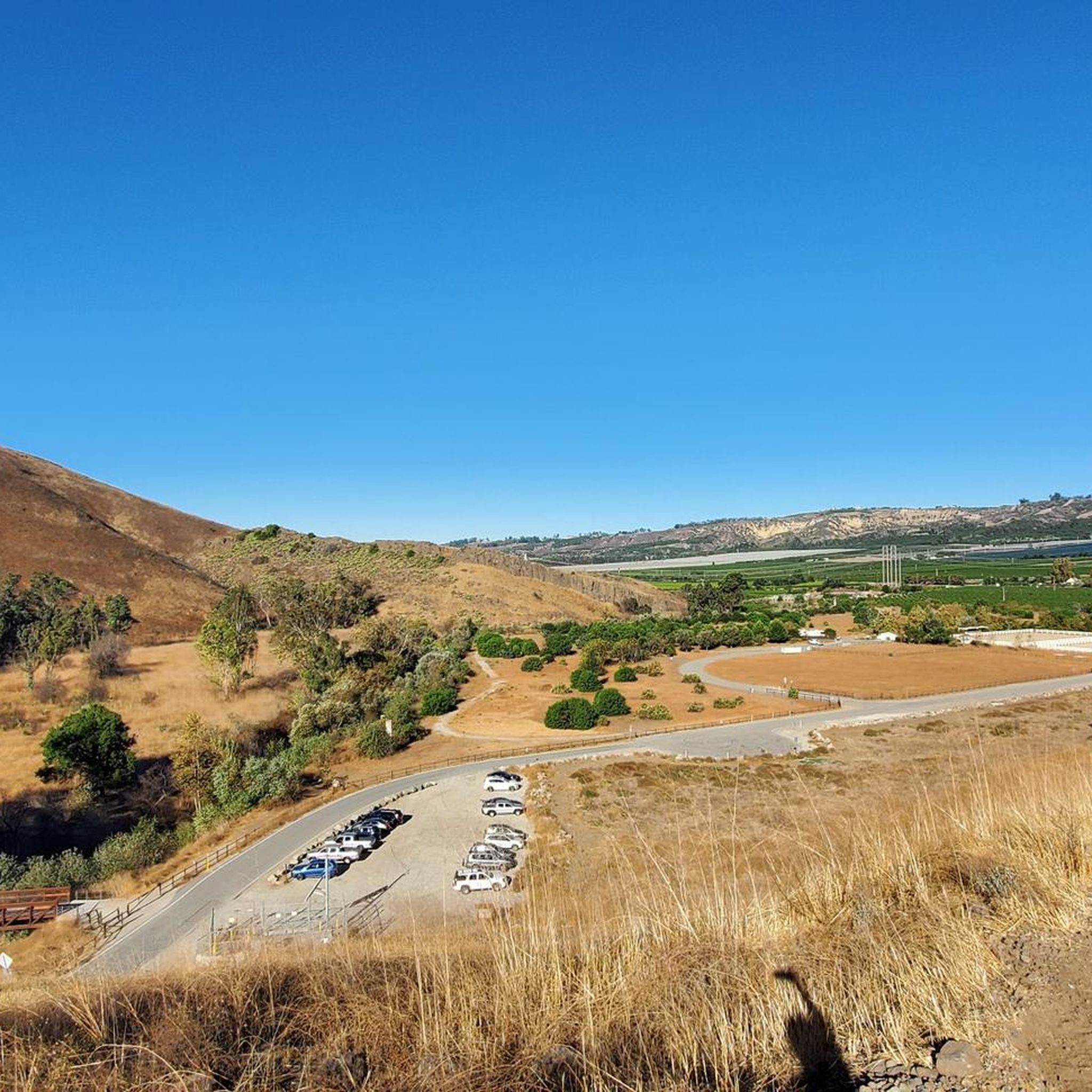
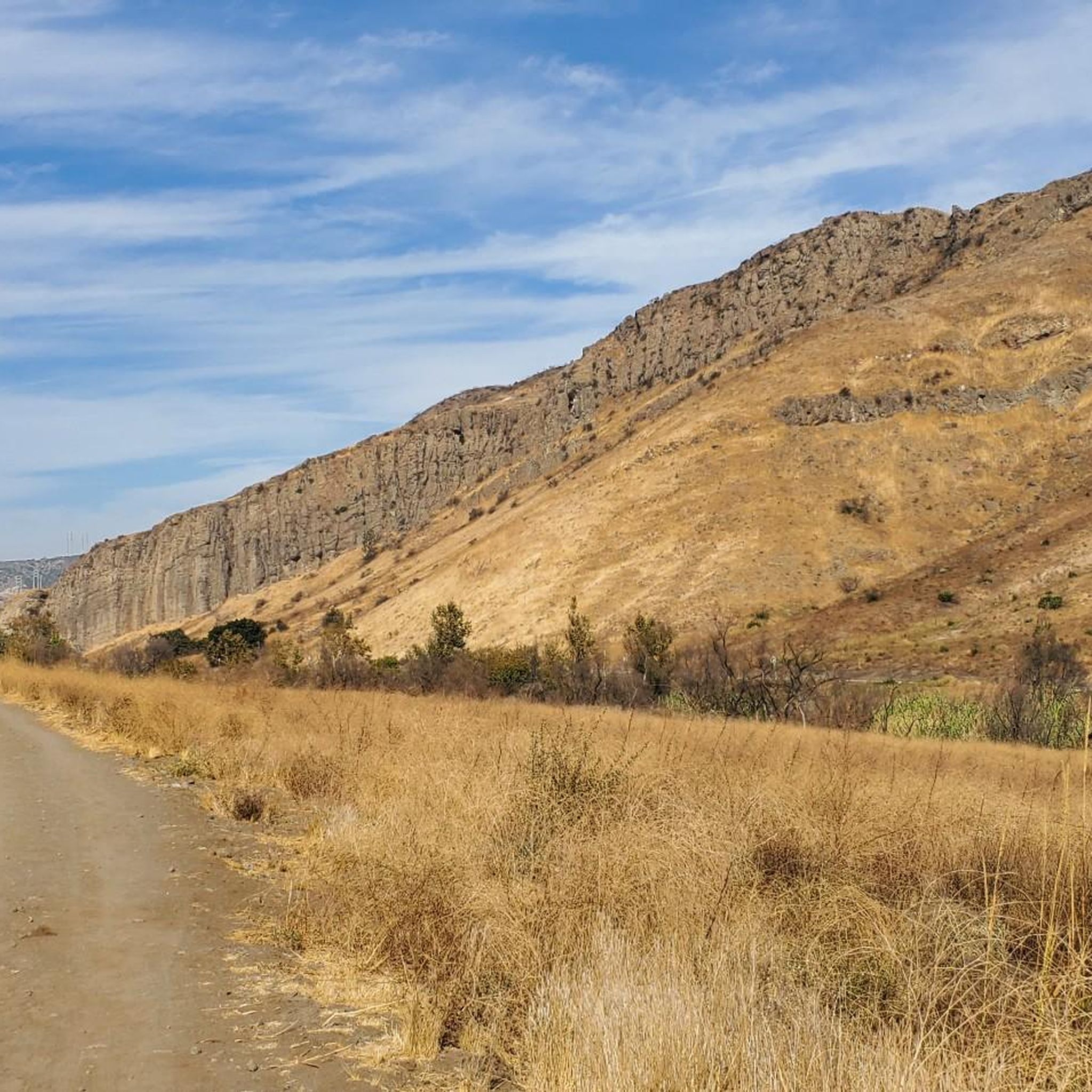
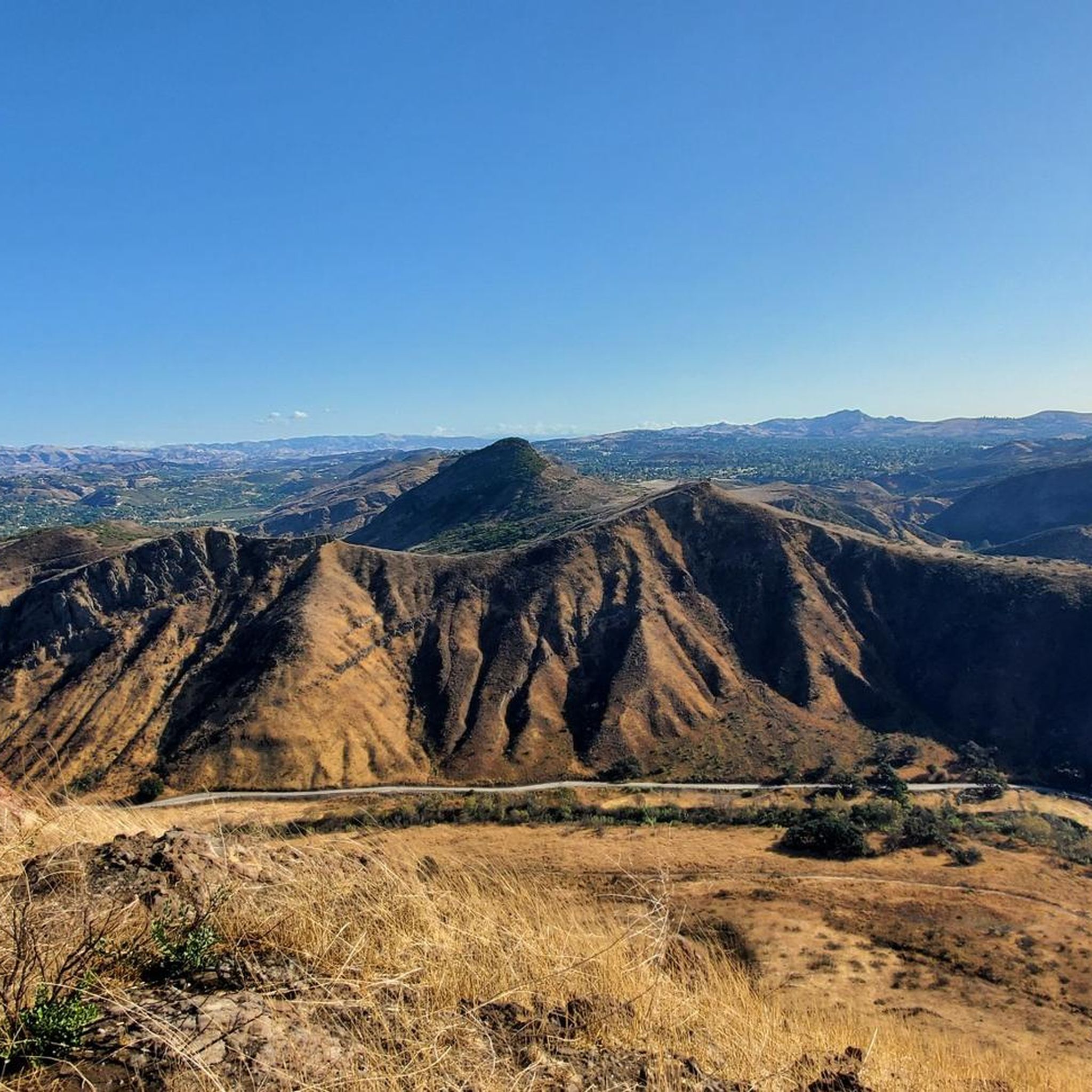
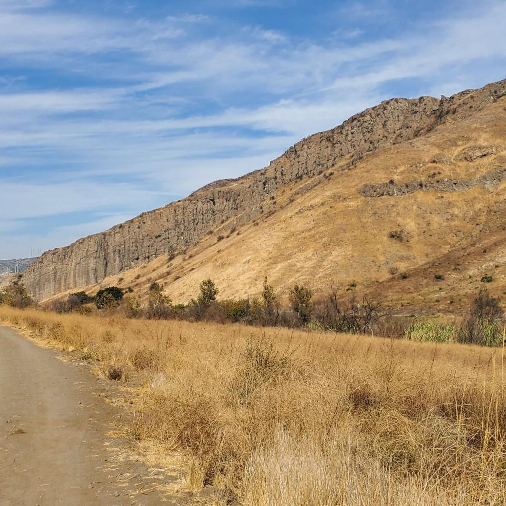

Tips from the Community

This stretch of West Potrero Road is incredibly scenic, offering breathtaking views whether you're traveling east toward the rolling hills or west toward the coastline. The winding path provides a perfect backdrop for picturesque sunsets, making it a delightful route for both a leisurely ride or a fast-paced descent.
0
0

This is one of the prettiest sections of bikeable roadway near Thousand Oaks, with gorgeous Lake Sherwood just off the road to the south. If you head west on West Potrero Road you can connect into a large loop of roughly 20 miles, doubling back toward Thousand Oaks before returning to the lake.
4
0

Beautiful area, green everywhere
5
0

The Ralph Fertig Memorial Bike Trail, also known as the Rincon Bike Path, runs along the 101 between Rincon and Mussel Shoals, offering scenic coastal views from Ventura to Carpinteria. Named in honor of Ralph Fertig, a respected advocate for cyclists, who died in 2014.
1
0

North Ranch Open Space is a 2,604-acre protected area filled with sandstone cliffs and wildlife.
0
0
Madea Creek Preserve is a hidden gem in the city's heart, providing a peaceful escape from the daily grind. The lush greenery and towering trees create a serene atmosphere. With ample space to spread out and relax, you can enjoy a lovely afternoon in nature without traveling too far away from home.
0
0

Very beautiful road surrounded by vineyards, orchards and stud farms, with beautiful wooded hills in the distance. A large emergency lane makes traffic particularly pleasant for cyclists.
2
0
Frequently Asked Questions
How many road cycling routes are available in Santa Rosa Valley?
There are over 60 road cycling routes available in Santa Rosa Valley, offering a diverse range of experiences for all skill levels.
What kind of terrain can I expect when road cycling in Santa Rosa Valley?
The Santa Rosa Valley region features a varied landscape, from rolling hills and agricultural lands to routes with significant elevation gains. You can find everything from leisurely valley rides to challenging climbs, often with distant views of the Santa Ynez Mountains.
What is the best time of year for road cycling in Santa Rosa Valley?
Santa Rosa Valley generally offers pleasant cycling conditions for much of the year. Spring and fall provide mild temperatures and beautiful scenery. While winter conditions are typically moderate, it's always wise to check local forecasts, especially for higher elevations.
Are there easy road cycling routes suitable for beginners or families?
Yes, Santa Rosa Valley offers several easy road cycling routes. For instance, the Colorful Landscape and Sunny Canyon Views loop from Moorpark is an easy option, covering about 18.8 miles with moderate elevation gain. The region also has paved trails like the Santa Rosa Creek Trail and Prince Memorial Greenway in the Sonoma County area, which are ideal for more relaxed rides.
Where can I find challenging road cycling routes with significant climbs?
For challenging rides with substantial elevation, consider routes like the Ojai & Ventura loop, which covers over 94 miles with more than 4,900 feet of climbing. Another demanding option is the Point Mugu State Park loop, offering coastal views and over 3,500 feet of ascent across 63 miles.
What scenic views or natural features can I expect on road cycling routes in Santa Rosa Valley?
Road cycling in Santa Rosa Valley offers diverse scenery. You'll encounter rolling hills, agricultural lands, and distant views of the Santa Ynez Mountains. In the broader Sonoma County area, routes meander through vineyards, oak woodlands, and meadows. Specific highlights include Lake Sherwood Drive, known for its picturesque setting, and various viewpoints like Upper Sycamore Overlook and Angel Vista Viewpoint.
Are there any waterfalls or unique natural attractions accessible from road cycling routes?
Yes, some routes in the Santa Rosa Valley area can bring you close to natural attractions. You might find Paradise Falls and Sycamore Falls, offering beautiful natural sights. The region also features significant wetlands like the Laguna de Santa Rosa, a vital stopover for migratory birds.
What do other road cyclists enjoy most about road cycling in Santa Rosa Valley?
The area is highly rated by the komoot community, with an average score of 4.7 stars. Reviewers often praise the diverse terrain, from scenic valley roads to challenging climbs, and the beautiful backdrop of rolling hills and agricultural lands. The variety of routes catering to different ability levels is also frequently highlighted.
Are there any circular road cycling routes in Santa Rosa Valley?
Yes, many of the road cycling routes in Santa Rosa Valley are designed as loops. Examples include the challenging Ojai & Ventura loop and the scenic Great Views – View of Lake Eleanor Ridge loop from Wildwood Park. These circular routes allow you to start and end at the same point, making logistics easier.
Are there any specific roads or trails known for being particularly picturesque for road cycling?
Absolutely. Lake Sherwood Drive is noted as a picturesque, bikeable road near Thousand Oaks. In the broader Sonoma County area, the 'Valley of the Moon' (Sonoma Valley) offers bike-friendly backroads with superb scenery, including oaks, meadows, and vineyards. The Dry Creek Valley & Alexander Valley loop is also famous for its breathtaking wine country views.
What are the options for long-distance road cycling routes in the Santa Rosa Valley area?
For long-distance road cycling, the Santa Rosa Valley and surrounding regions offer extensive options. The Ojai & Ventura loop is a significant 94-mile ride, and the Point Mugu State Park loop covers 63 miles. These routes provide substantial mileage and elevation for endurance cyclists.
Are there any specific parks or natural areas that are popular for road cycling in the region?
Yes, several parks and natural areas are popular. Point Mugu State Park offers coastal views and challenging climbs. In the Sonoma County area, Trione-Annadel State Park and Spring Lake Regional Park provide multi-use trails, while Taylor Mountain Regional Park offers trails with panoramic views. While these parks may have specific cycling rules, the roads around them are often part of popular cycling routes.
Most popular routes around Santa Rosa Valley
Most popular attractions around Santa Rosa Valley

Get inspired with the komoot mobile app


Explore more
Browse the best Road cycling routes in other regions.
