The best cycling routes around Rowland Heights
4.6
(34)
389
riders
41
rides
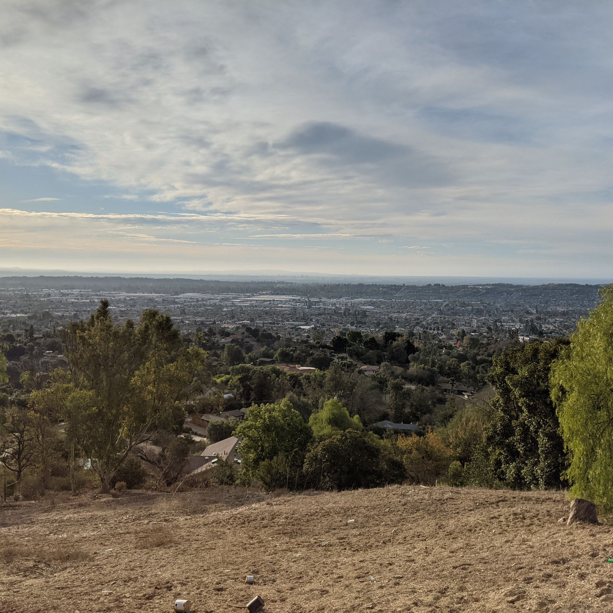
Touring cycling routes around Rowland Heights traverse a landscape characterized by rolling hills and protected nature preserves. The region offers a mix of paved paths and unpaved segments, catering to various cycling preferences. Cyclists can expect challenging climbs and panoramic views of Los Angeles County from elevated areas. Protected nature preserves and park systems provide a serene backdrop for rides through chaparral-covered hillsides and lush greenery.
Best touring cycling routes around Rowland Heights
- The most popular touring cycling route is…
Last updated: September 30, 2026
61
riders
15.0km
01:07
170m
170m
Moderate bike ride. Good fitness required. Mostly paved surfaces. Suitable for all skill levels.
4.9
(7)
46
riders
Moderate bike ride. Good fitness required. Mostly paved surfaces. Suitable for all skill levels.

24
riders
49.2km
04:48
950m
950m
Hard bike ride. Very good fitness required. Mostly paved surfaces. Suitable for all skill levels.
4.0
(1)
15
riders
45.5km
03:52
590m
590m
Hard bike ride. Very good fitness required. Mostly paved surfaces. Suitable for all skill levels.
16
riders
20.8km
02:19
580m
580m
Hard bike ride. Very good fitness required. Mostly paved surfaces. Suitable for all skill levels.
Get access to more routes and recommendations from other explorers.
Already have an account?
Our route recommendations are based on thousands of hikes, rides, and runs completed by other people on komoot.
Start today with a free account
Your next adventure awaits.

Tips from the Community

The climb from imperial to cannon is no joke but it’s a short walk to the top so bring flipflops😀.
0
0

This is the intersection of five trails: Raptor Ridge Trail, North Ridge Trail, Bovinian Delight Trail or Telegraph Canyon Road. There are also some boards with information about the trails and a restroom.
0
0

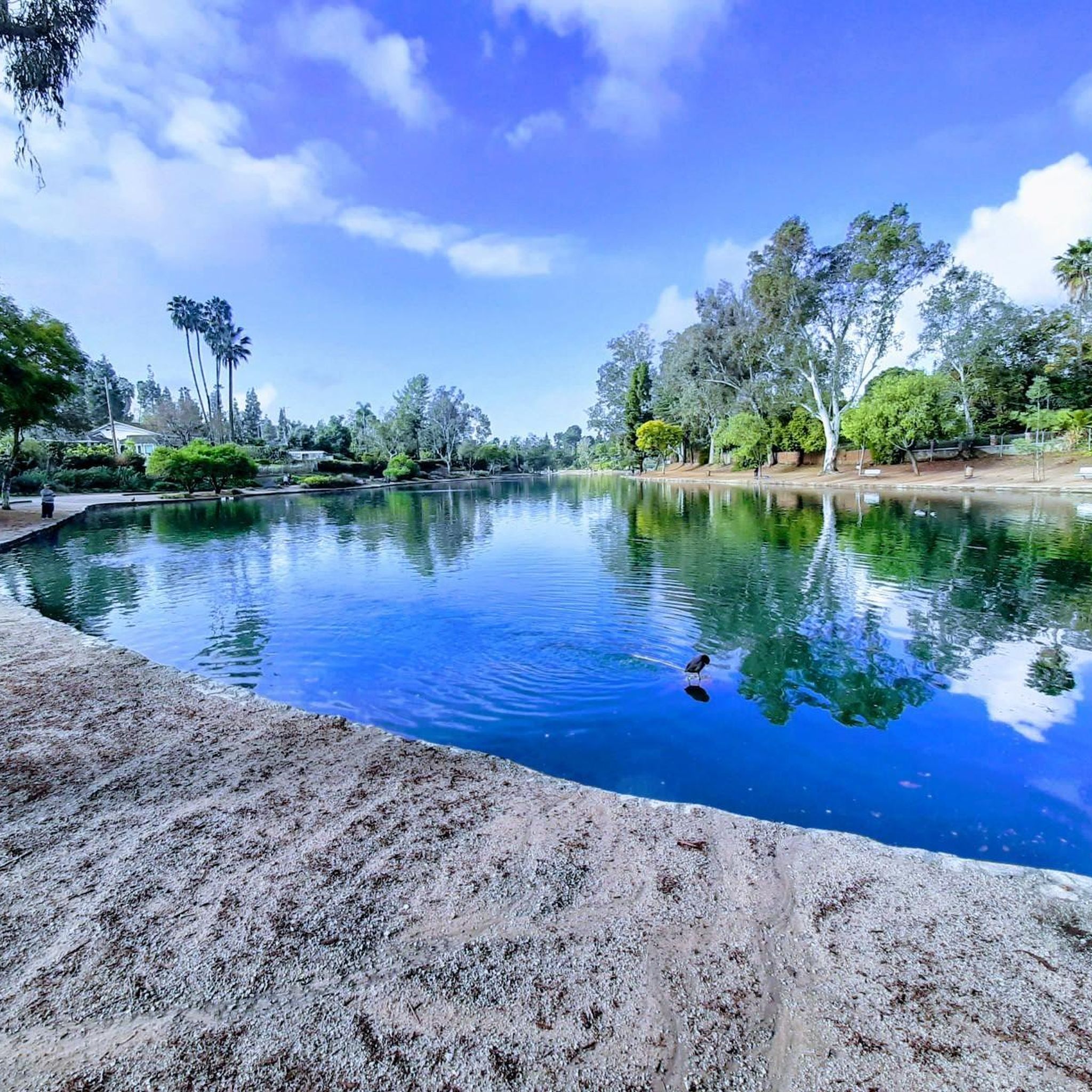
Carbon Canyon Regional Park is a great local park with a small lake and some nature trails featuring Redwoods and the Carbon Canyon Creek. It connects to the Chino Hills State Park and is a great spot for some quick day hiking, fishing, sports, or just sitting and enjoying some nature.
0
0

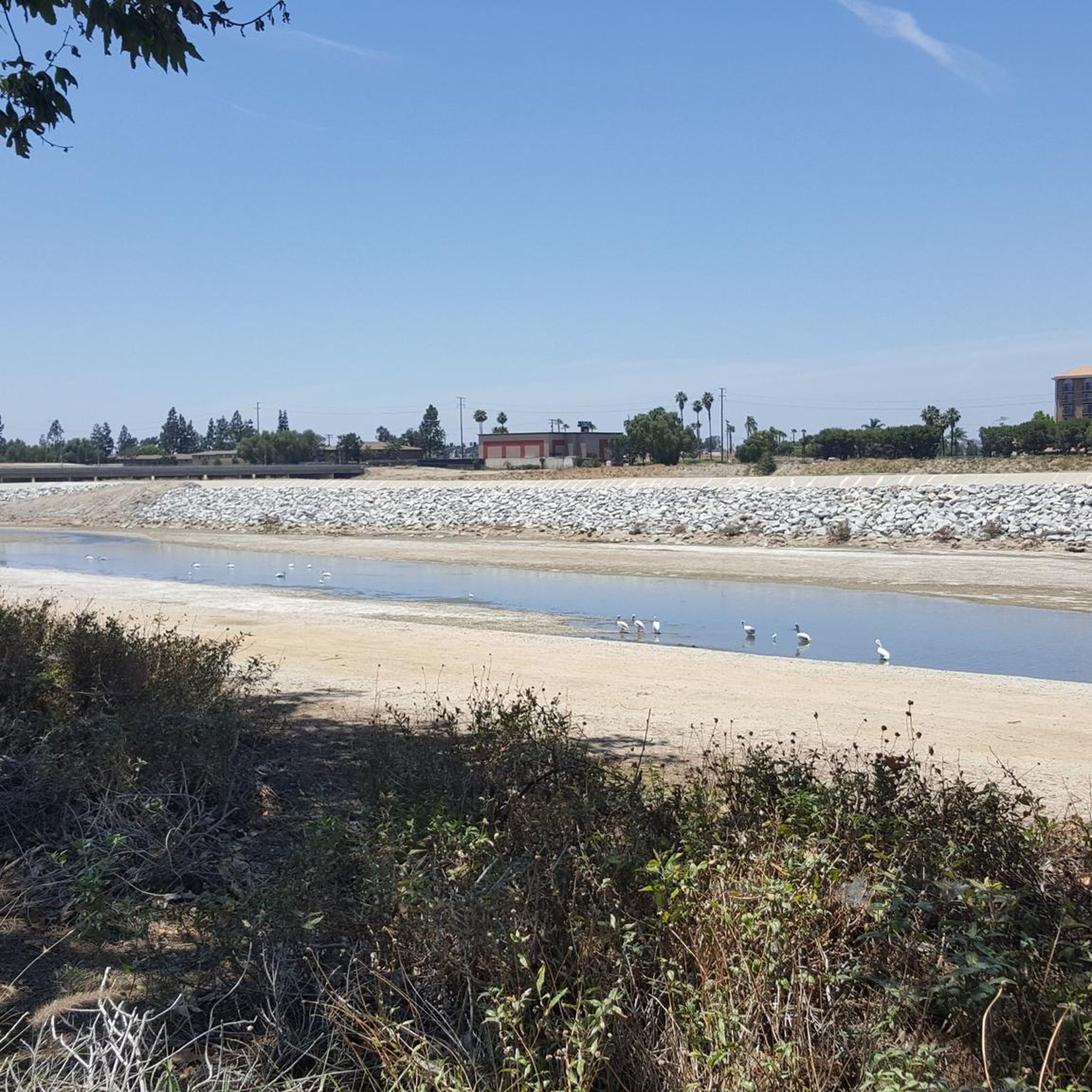
Nice wooden bridge along the Santa Ana River Trail. It takes you over the river and gives you a good view of the water.
1
0
Angel Stadium of Anaheim is the home of the Los Angeles Angels of Anaheim. The Santa Ana River Trail passes right by the stadium, so you get a great view. As you can imagine, it can get pretty busy on the trail on a game day.
1
0

Very nice walk, path suitable for strollers.
0
0

This is a beautiful lake, definitely a pleasant spot for a small break.
0
0
Frequently Asked Questions
How many touring cycling routes are available in Rowland Heights?
There are over 40 touring cycling routes around Rowland Heights, offering a diverse range of experiences for cyclists. These routes are highly rated by the komoot community, with an average score of 4.6 stars from over 25 reviews.
What kind of terrain can I expect on touring cycling routes around Rowland Heights?
The routes in Rowland Heights traverse a landscape characterized by rolling hills and protected nature preserves. You'll find a mix of paved paths and unpaved segments, catering to various cycling preferences. Expect challenging climbs in some areas, rewarded with panoramic views of Los Angeles County, and serene rides through chaparral-covered hillsides and lush greenery.
What is the best time of year for touring cycling in Rowland Heights?
Rowland Heights benefits from a mild Mediterranean climate, making year-round exploration possible. While cycling is enjoyable throughout the year, spring and fall often offer the most comfortable temperatures for longer rides.
Are there any easy touring cycling routes suitable for beginners?
Yes, there are 16 easy touring cycling routes available. An example is the Parking Area for Biking loop from Brea Olinda High School, which is 8 miles (12.9 km) long and has minimal elevation gain, making it a good option for a relaxed ride.
What are some of the more challenging touring cycling routes in the area?
For those seeking a challenge, Rowland Heights offers 10 difficult routes. The Turnbull Debris Basin – Turnbull Canyon loop from Rowland Heights Park is a demanding 27.8 miles (44.7 km) path that includes the scenic Turnbull Canyon, known for its significant climbs and rewarding views of Los Angeles County.
Are there any circular touring cycling routes in Rowland Heights?
Many routes in the area are designed as loops, allowing you to start and end at the same point. A popular moderate option is the Puente Hills Preserve loop from Puente Hills Preserve, an 8.8 miles (14.1 km) trail leading through rolling landscapes.
What scenic views or landmarks can I expect to see while cycling?
Cyclists can enjoy panoramic views of Los Angeles County from elevated areas, and on clear days, even catch glimpses of Catalina Island from spots like La Habra Heights. Notable landmarks and natural features include Turnbull Canyon, known for its scenic beauty, and the diverse landscapes within Carbon Canyon Regional Park, which features a small lake and nature trails.
Are there family-friendly touring cycling routes in Rowland Heights?
While specific routes are not explicitly labeled 'family-friendly' in the data, the 16 easy routes are generally suitable for families. These routes typically have less elevation gain and are shorter in distance, providing a more relaxed experience for all ages.
Can I bring my dog on touring cycling routes in Rowland Heights?
Many parks and preserves in the Rowland Heights area are dog-friendly, often requiring dogs to be on a leash. It's always best to check the specific regulations for each park or trail you plan to visit, such as Pathfinder Community Regional Park, before heading out with your furry companion.
Where can I find parking for touring cycling routes?
Many of the cycling routes originate from regional parks or community parks, which typically offer parking facilities. For example, routes like the Four Corners – View of Yorba Linda loop start from Carbon Canyon Regional Park, which has designated parking areas. Similarly, Rowland Heights Park and Puente Hills Preserve also serve as common starting points with parking.
Is public transport an option to reach the cycling routes?
While Rowland Heights has local public transport options, direct access to all trailheads via public transport can be limited. It's advisable to check local bus routes and schedules to see if they connect conveniently to your chosen starting point, especially for routes within larger park systems.
What do other touring cyclists enjoy the most about touring cycling in Rowland Heights?
The area is highly rated by the komoot community, with an average score of 4.6 stars. Reviewers often praise the diverse terrain, from challenging climbs with panoramic views to serene rides through protected nature preserves. The variety of routes, catering to different ability levels, is also a frequently highlighted positive aspect.
Most popular attractions around Rowland Heights

Get inspired with the komoot mobile app


Explore more
Browse the best Cycling routes in other regions.
