The best road cycling routes around Rowland Heights
4.2
(9)
565
riders
47
rides
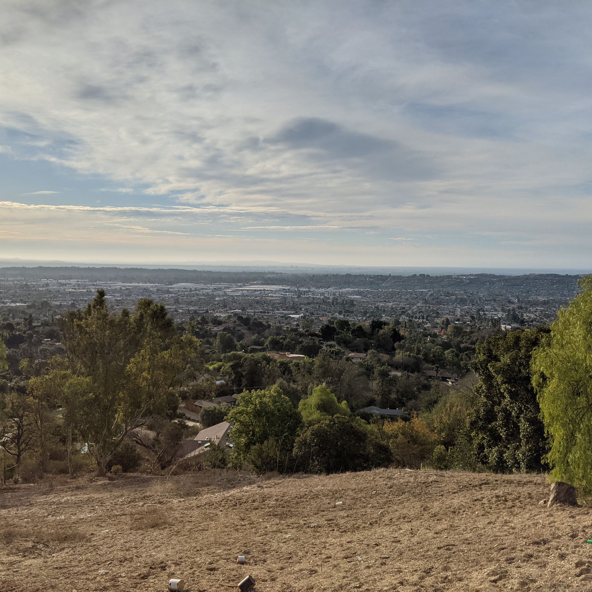
Road cycling routes around Rowland Heights are set within a landscape of rolling hills and protected natural preserves in Los Angeles County, California. The region is characterized by the dominant Puente Hills, offering varied terrain and views of the San Gabriel Valley. Chaparral-covered hillsides and native vegetation define many of the routes. This area provides an extensive network of paved paths suitable for road cycling.
Best road cycling routes around Rowland Heights
- The most popular road cycling route is Carbon…
Last updated: May 14, 2026
5.0
(1)
62
riders
Moderate road ride. Good fitness required. Some segments of this route may be unpaved and difficult to ride.
9
riders
38.6km
01:48
500m
500m
Moderate road ride. Good fitness required. Mostly well-paved surfaces and easy to ride.

Sign up for free
5
riders
102km
04:41
580m
580m
Moderate road ride. Good fitness required. Mostly well-paved surfaces and easy to ride.
5
riders
16.8km
01:04
160m
160m
Moderate road ride. Great for any fitness level. Some segments of this route may be unpaved and difficult to ride.
3
riders
26.0km
01:15
360m
360m
Moderate road ride. Good fitness required. Mostly well-paved surfaces and easy to ride.
Get access to more routes and recommendations from other explorers.
Sign up for free
Already have an account?
Our route recommendations are based on thousands of hikes, rides, and runs completed by other people on komoot.
Start today with a free account
Your next adventure awaits.
Login or Signup


Tips from the Community

The climb from imperial to cannon is no joke but it’s a short walk to the top so bring flipflops😀.
0
0

Angel Stadium of Anaheim is the home of the Los Angeles Angels of Anaheim. The Santa Ana River Trail passes right by the stadium, so you get a great view. As you can imagine, it can get pretty busy on the trail on a game day.
1
0

Bike along the Santa Ana River Trail for a fantastic view of Angel Stadium’s iconic “Big A” sign, a 230-foot-tall landmark that originally served as the stadium's scoreboard. The halo atop the sign lights up after every Angels victory, glowing even brighter for home wins. Be sure to avoid the surrounding streets on game days, as the area can get crowded.
1
0

Nice and easy paved trail that has a surprising amount of wildlife around. It can get busy so be ready to share space with other trail users.
0
0

The Mt. San Antonio College Wildlife Sanctuary is a 10-acre protected haven that proudly preserves the natural beauty of the trees, shrubs, and flowers that once thrived in the area. With a mission to provide a safe migratory refuge and breeding ground for birds and other animals, it boasts a natural stream and a pond that are home and visitation spots for many bird species. The Sanctuary is also home to a 25-seat amphitheater on the southern tip, offering a perfect setting for Biology classes and lectures for visiting groups.
0
0

Baseball fans will enjoy getting to ride by the outer gates of Angels Stadium. Ohtani might have moved down the road, but Trout is here to stay!
0
0

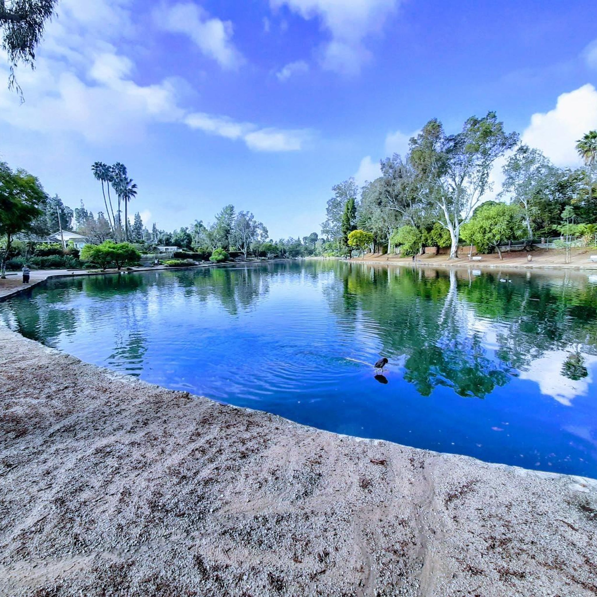
Carbon Canyon Regional Park is a great local park with a small lake and some nature trails featuring redwoods and the Carbon Canyon Creek. It connects to Chino Hills State Park.
0
0
Carbon Canyon Regional Park is a great local park with a small lake and some nature trails featuring redwoods and the Carbon Canyon Creek. It connects to Chino Hills State Park.
0
0
Frequently Asked Questions
How many road cycling routes are available around Rowland Heights?
There are over 45 road cycling routes around Rowland Heights, catering to various skill levels. The majority, about 39, are considered moderate, with a few easy and difficult options available.
What is the best time of year for road cycling in Rowland Heights?
Rowland Heights enjoys a Mediterranean climate with warm, dry summers and mild, wetter winters, making outdoor activities like road cycling enjoyable year-round. Spring and fall often offer the most comfortable temperatures for longer rides.
Are there any challenging climbs for road cyclists in the area?
Yes, for those seeking a challenge, Turnbull Canyon is a popular spot. It features a road that climbs with an average gradient of 5.2%, gaining 775 feet in elevation and peaking at 1,161 feet, offering panoramic views of Los Angeles County. You can explore routes that incorporate this climb, such as the Carbon Canyon Regional Park loop from Nogales High School, which includes significant elevation gain.
What kind of scenery can I expect on road cycling routes in Rowland Heights?
The routes in Rowland Heights are characterized by rolling hills and protected nature preserves, offering expansive views of the San Gabriel Valley. You'll encounter chaparral-covered hillsides, native vegetation, and mature oak trees, especially within areas like the Puente Hills and along trails such as Powder Canyon.
Are there any long-distance road cycling routes available?
Yes, for longer rides, consider routes like the Santa Ana River Trail – Santa Ana River Trail loop from Industry, which spans over 63 miles (102 km) and leads through the Santa Ana River corridor. This route offers a substantial distance for endurance cyclists.
Where can I find parking for road cycling trails in Rowland Heights?
Many parks and preserves offer dedicated parking. For instance, the Powder Canyon Trailhead within the Puente Hills Preserve is a primary access point with parking, restrooms, and drinking fountains. Other regional parks like Schabarum Regional Park and Carbon Canyon Regional Park also provide parking facilities for trail users.
What do other road cyclists say about the routes in Rowland Heights?
The road cycling routes in Rowland Heights are highly rated by the komoot community, with an average score of 4.0 stars from more than 9 reviews. Cyclists often praise the varied terrain, the extensive network of paved paths, and the scenic beauty of the rolling hills and natural preserves.
Are there any family-friendly road cycling options in Rowland Heights?
While many routes feature rolling hills, some parks offer more gentle, paved sections suitable for families. Rowland Heights Park, for example, has winding trails and lush greenery that can be enjoyed for leisurely rides. For specific family-friendly routes, look for those designated as 'easy' in the komoot guide, which typically have less elevation gain and shorter distances.
Can I find loop routes for road cycling in the area?
Yes, many road cycling routes around Rowland Heights are designed as loops, allowing you to start and end at the same point. A popular example is the Carbon Canyon Regional Park loop from Puente Hills Preserve, which offers diverse scenery over 33.8 miles.
What are some notable natural attractions I might see while cycling?
While cycling, you might encounter natural features such as the Puente Hills, known for their chaparral-covered hillsides and native vegetation. Turnbull Canyon offers panoramic views, and Carbon Canyon Regional Park features a small lake and nature trails with redwoods. These areas provide beautiful backdrops to your ride.
Are there any amenities like cafes or pubs near the cycling routes?
Rowland Heights is an established community, and while specific cafes or pubs directly on remote trailheads might be limited, you will find various amenities in the surrounding residential and commercial areas. It's advisable to plan your route and check for establishments in nearby towns or along main roads for refreshment stops.
What is the general difficulty level of road cycling in Rowland Heights?
The majority of road cycling routes in Rowland Heights are classified as moderate, making them suitable for cyclists with some experience. These routes often include rolling hills and varied elevation changes. There are also a few easy routes for beginners and some more difficult options for advanced riders seeking greater challenges.
Most popular attractions around Rowland Heights

Get inspired with the komoot mobile app


Explore more
Browse the best Road cycling routes in other regions.
