The best road cycling routes around Orangevale
4.4
(48)
2,221
riders
138
rides
Road cycling routes around Orangevale feature diverse landscapes, including the American River Parkway and Lake Natoma. The area is characterized by rolling hills, offering varied terrain for cyclists. This blend of riparian habitats and gentle ascents provides a range of experiences on mostly well-paved surfaces. Cyclists can find routes with significant elevation changes, alongside more leisurely options.
Best road cycling routes around Orangevale
- The most popular road cycling route is Folsom Historic District – Folsom Dam loop from Historic Folsom…
Last updated: July 9, 2026
4.3
(6)
256
riders
39.4km
01:45
180m
180m
Easy road ride. Great for any fitness level. Mostly well-paved surfaces and easy to ride.
5.0
(1)
53
riders
22.6km
00:59
90m
100m
Easy road ride. Great for any fitness level. Mostly well-paved surfaces and easy to ride.

Sign up for free
37
riders
61.9km
02:55
670m
670m
Moderate road ride. Good fitness required. Mostly well-paved surfaces and easy to ride.
63
riders
44.2km
02:10
260m
260m
Moderate road ride. Good fitness required. Some segments of this route may be unpaved and difficult to ride.
22
riders
Hard road ride. Very good fitness required. Mostly well-paved surfaces and easy to ride.
Get access to more routes and recommendations from other explorers.
Sign up for free
Already have an account?
Our route recommendations are based on thousands of hikes, rides, and runs completed by other people on komoot.
Start today with a free account
Your next adventure awaits.
Login or Signup

Tips from the Community

A beautiful historic (main) street through Folsom. However, the historic district includes not only Sutter Street but also the old industrial area along the river, as well as a residential area above Sutter Street.
0
0

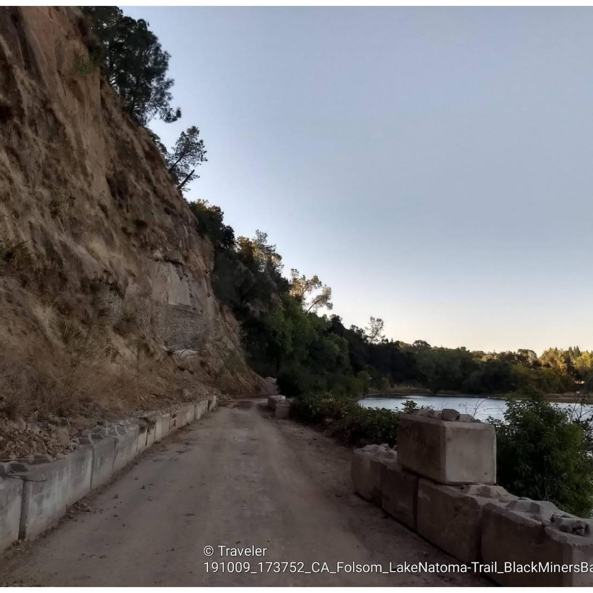
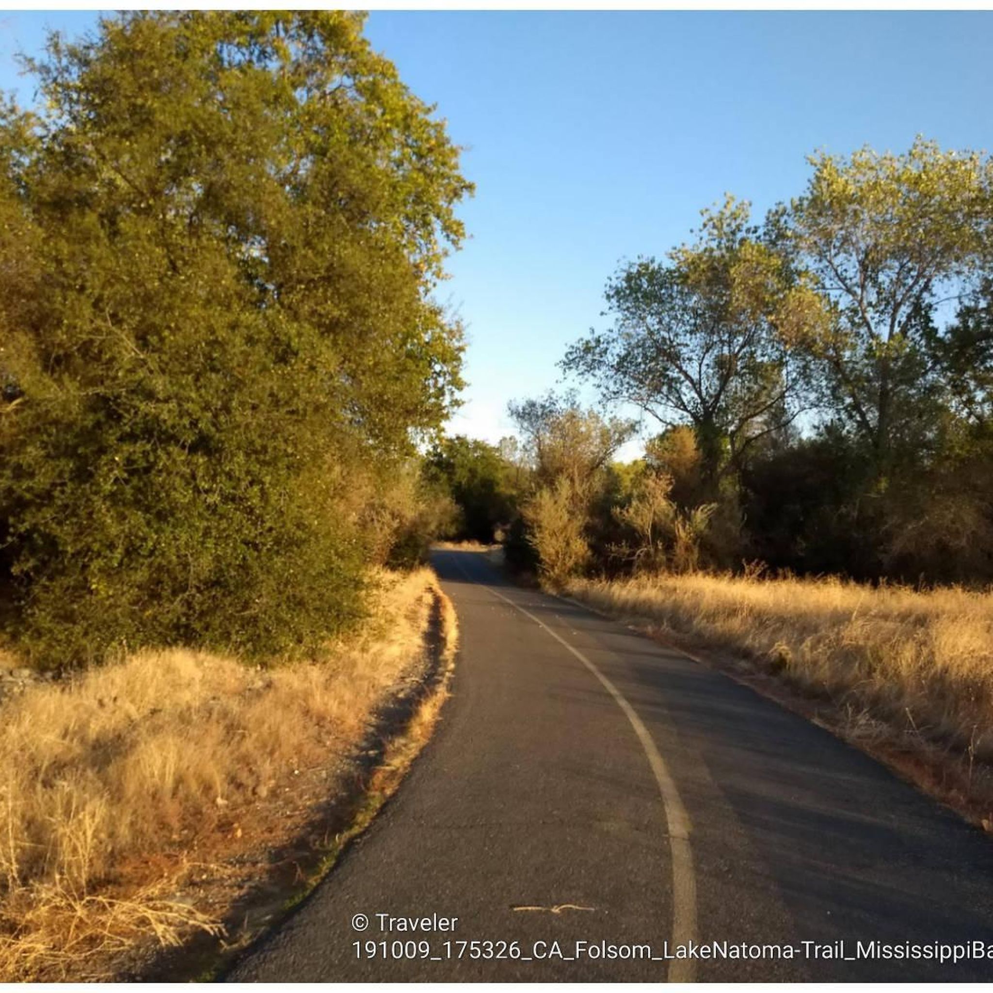
This is a section of the large Folsom Lake State Recreation Area that surrounds the Lake Natoma and Folsom Lake areas of Sacramento. In this section, there are a network of flat, paved trails that are ideal for running. You are also afforded some lovely water views too.
0
0

Two trail loops, the North and the Interpretative Loop, at the east of Miners Ravine creek, with a large Trailhead parking off Auborn Road.
1
0

Folsom South Canal is a waterway created by water from the American River that is diverted at the Nimbus Dam.
0
0
From this spot, you can exit the paved American River Trail onto a shorter, packed-dirt trail that follows the same direction as the paved trail. Both trails are multi-use, so watch out for hikers.
0
0
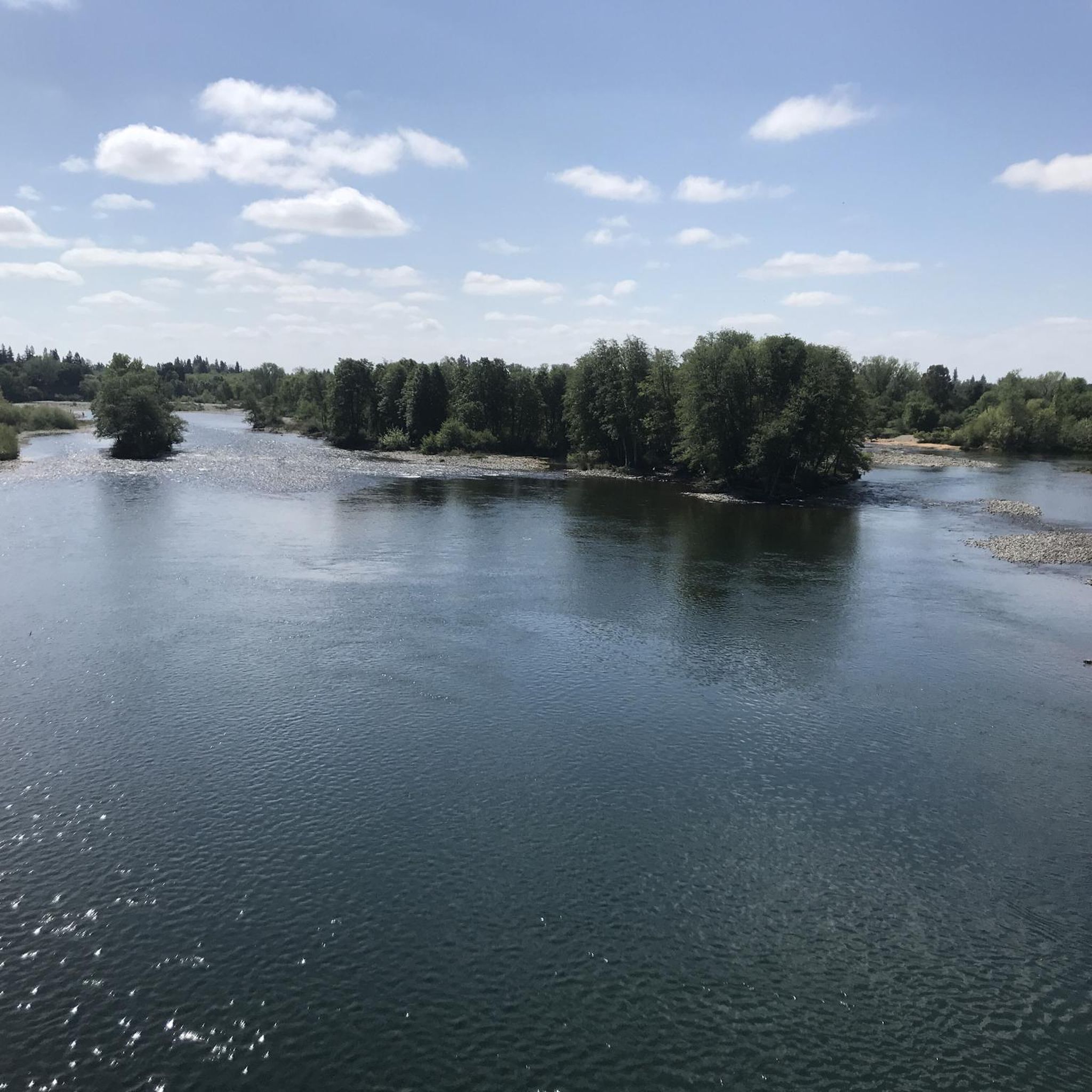
From this spot, you can see three bridges that cross the American River. The Rainbow Bridge along Greenback Lane, the Folsom Historic Truss Bridge along the American River Bike Trail, and the bridge along Folsom Boulevard.
0
0
The Jedidiah Smith Memorial Trail, also known as the American River Bike Trail, is a 32-mile paved multi-use trail that runs from Discovery Park to Folsom Lake's Beal's Point. It parallels the American River and offers some awesome waterside views.
0
0
Frequently Asked Questions
What kind of terrain can I expect on road cycling routes around Orangevale?
Orangevale's road cycling routes are characterized by rolling hills, offering varied terrain with gentle ascents and descents. While mostly well-paved, some routes can include significant elevation changes, up to 3,000 feet, providing a good workout for those seeking a challenge. The area also features picturesque waterside views along the American River and Lake Natoma.
Are there road cycling routes suitable for beginners or families in Orangevale?
Yes, Orangevale offers several easy road cycling options perfect for beginners or families. A great choice is the Lake Natoma – Nimbus Dam loop from Historic Folsom, an easy 10.3-mile (16.5 km) path that provides scenic views along Lake Natoma and the American River in a safe, well-maintained environment.
What are some of the more challenging road cycling routes in the Orangevale area?
For experienced cyclists looking for a challenge, routes with significant elevation gains are available. One such route is the Folsom Historic District – Folsom Historic Truss Bridge loop from Iron Point, which is a difficult 54.2-mile (87.3 km) ride featuring substantial climbs and descents.
What landmarks or points of interest can I see while road cycling near Orangevale?
Road cycling routes in Orangevale often pass by notable landmarks and natural features. You can cycle past the historic Folsom Historic Truss Bridge, the impressive Folsom Dam, and the scenic Lake Natoma. The renowned Jedidiah Smith Memorial Trail (American River Bike Trail) also offers picturesque waterside views.
Are there any loop routes for road cycling in Orangevale?
Yes, Orangevale features several excellent loop routes. A popular moderate option is the Folsom Historic District – Folsom Dam loop from Historic Folsom, covering 23.9 miles (38.4 km). Another great loop is the Folsom Historic Truss Bridge – Folsom Historic District loop from Iron Point, which is 25.9 miles (41.6 km) long.
How many road cycling routes are available in the Orangevale area?
There are over 130 road cycling routes available around Orangevale, catering to various skill levels. This includes approximately 48 easy routes, 60 moderate routes, and 27 difficult routes, ensuring options for every cyclist.
What do other road cyclists enjoy most about the routes in Orangevale?
The road cycling routes in Orangevale are highly rated by the komoot community, with an average score of 4.4 stars from over 50 reviews. Cyclists frequently praise the diverse landscapes, including the American River Parkway and Lake Natoma, as well as the varied terrain provided by the rolling hills.
What is the best time of year to go road cycling in Orangevale?
Orangevale offers pleasant road cycling conditions for much of the year. Spring and fall generally provide mild temperatures, making them ideal. Summers can be warm, so early morning or late afternoon rides are often preferred. Winters are typically mild, allowing for year-round cycling, though occasional rain may occur.
Are there any long-distance road cycling routes in Orangevale?
For those seeking longer rides, Orangevale has routes that extend for significant distances. An example is the Folsom Historic Truss Bridge – Folsom Historic Truss Bridge loop from Historic Folsom, a moderate route spanning 49.8 miles (80.1 km).
Are there any facilities or cafes near the road cycling routes in Orangevale?
Many road cycling routes in Orangevale pass through or near areas like the Folsom Historic District, where you can find various cafes, restaurants, and other amenities. The Sacramento State Aquatic Center, located near Lake Natoma, also offers facilities for visitors.
What are the typical elevation gains on Orangevale's road cycling routes?
Elevation gains on Orangevale's road cycling routes vary significantly. Easy routes, like the Lake Natoma loop, might have around 225 feet (68 meters) of elevation gain. More challenging routes, such as the Folsom Historic District – Folsom Historic Truss Bridge loop from Iron Point, can feature over 3,000 feet (940 meters) of climbing, offering diverse experiences for all fitness levels.
Most popular attractions around Orangevale

Get inspired with the komoot mobile app


Explore more
Browse the best Road cycling routes in other regions.
