The 9 Most Amazing Peaks around Lexington Hills
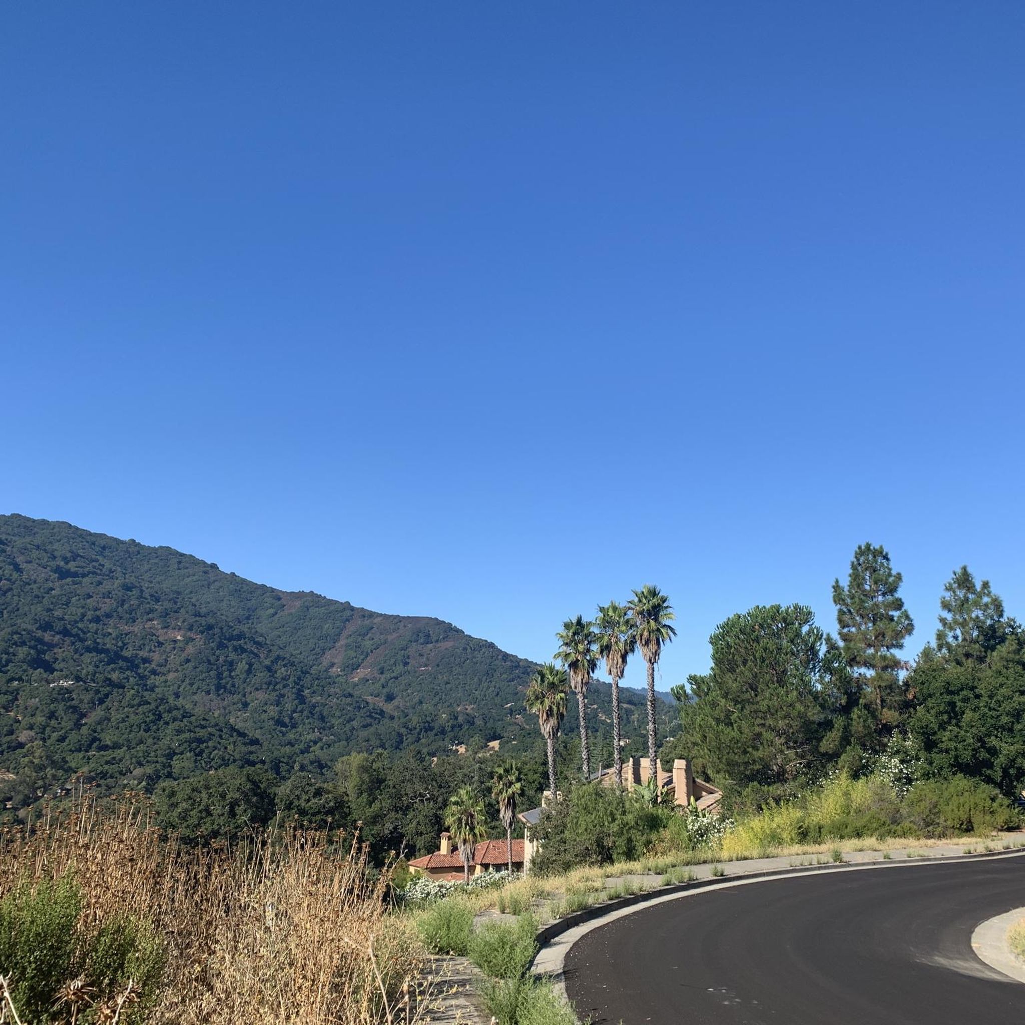
Best mountain peaks around Lexington Hills are found in a scenic region within the Santa Cruz Mountains of Santa Clara County, California. This area features diverse landscapes, including prominent peaks that offer opportunities for outdoor exploration. The region provides a range of natural features, from challenging climbs to expansive viewpoints. These peaks contribute to the area's geographical diversity, offering insights into both urban and natural surroundings.
Best mountain peaks around Lexington Hills
- The most popular mountain peaks is Saint Josephs…
Last updated: July 6, 2026
Mount Umunhum Road (climb)
Highlight (Segment) • Climb
Tip by

Saint Josephs Hill summit
Highlight • Summit
Tip by
Sign up now to discover places like this
Get recommendations on the best single tracks, peaks, & plenty of other exciting outdoor places.
Sign up for free
Summit of Sanborn County Park
Highlight • Summit
Tip by

Indian Rock
Highlight • Climb
Tip by

Randol Trail
Highlight (Segment) • Viewpoint
Tip by

Sign up for free to discover even more peaks around Lexington Hills.
Sign up for free
Already have an account?
Start today with a free account
Your next adventure awaits.
Login or Signup

Tips from the Community

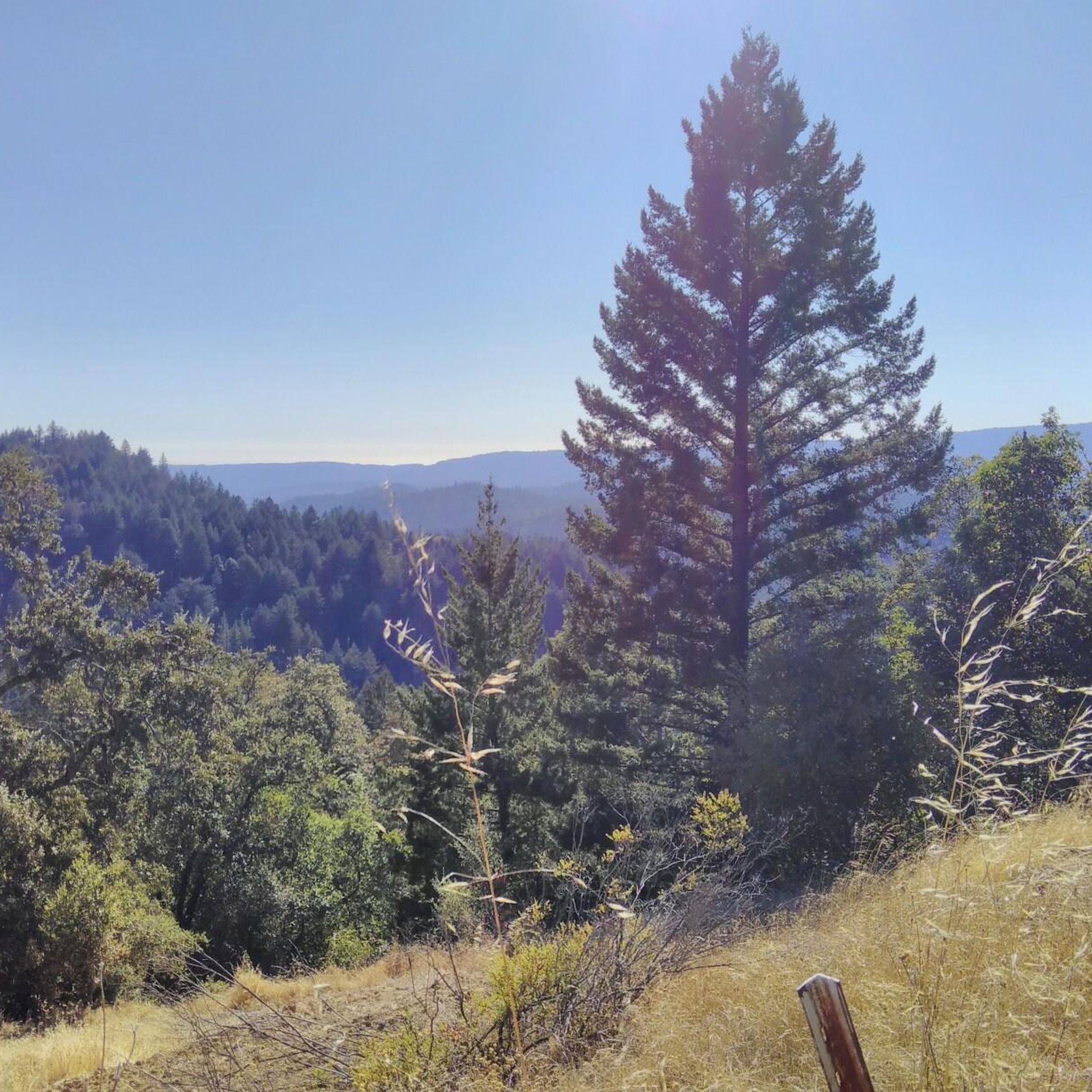
Climbing Mount Umunhum is a tough but rewarding challenge. The road is steep, with sections reaching up to 18% grades, so pace yourself. The views from the top are spectacular, making the hard work worth it. Start early to avoid traffic and the heat, and be prepared for a long, demanding ascent.
0
0

The Peak is a 3,005-foot mountain in Santa Clara County. The high point is marked by a large mossy rock, a short distance away from the end of the trail. This is a great, challenging summit for any mountain biker.
1
0

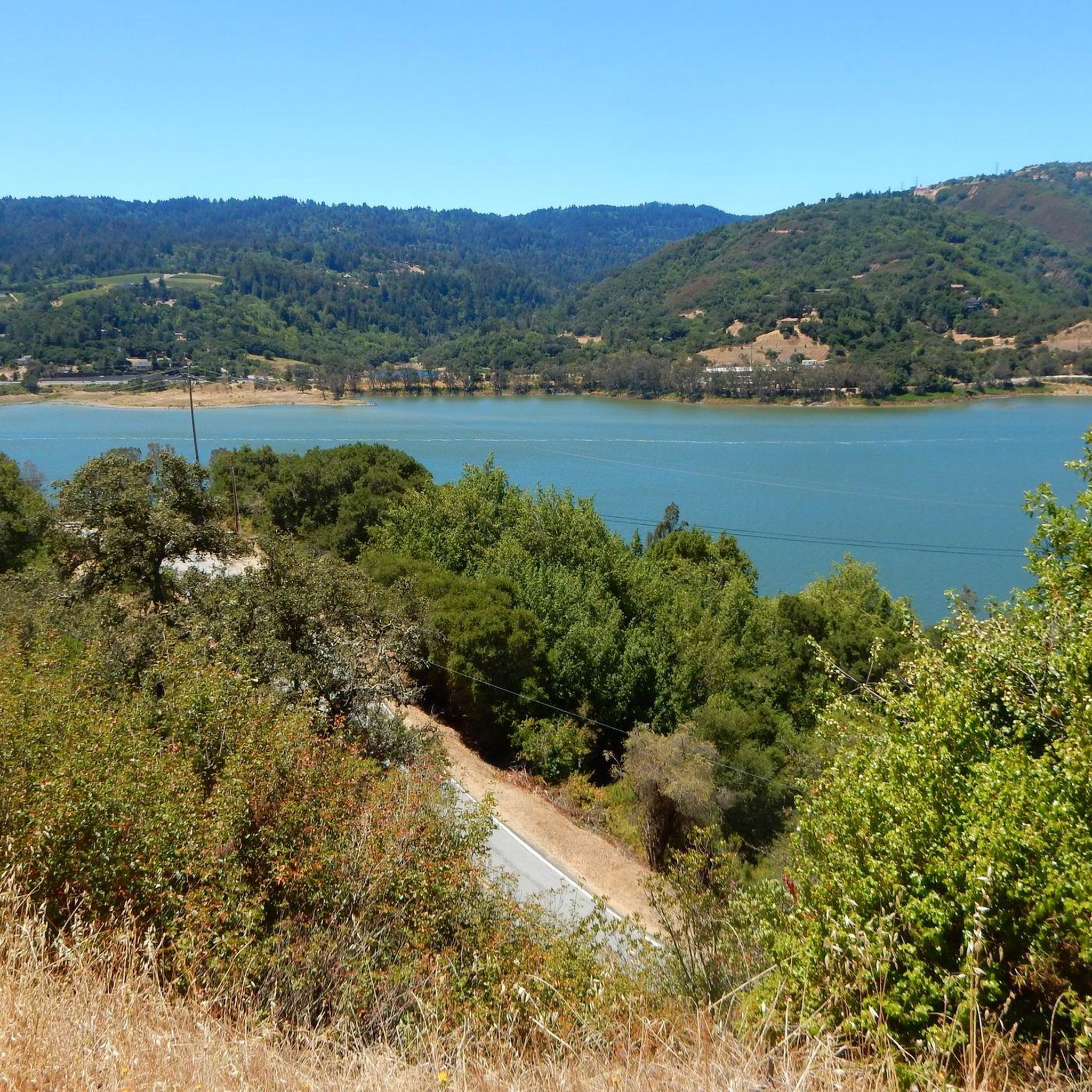
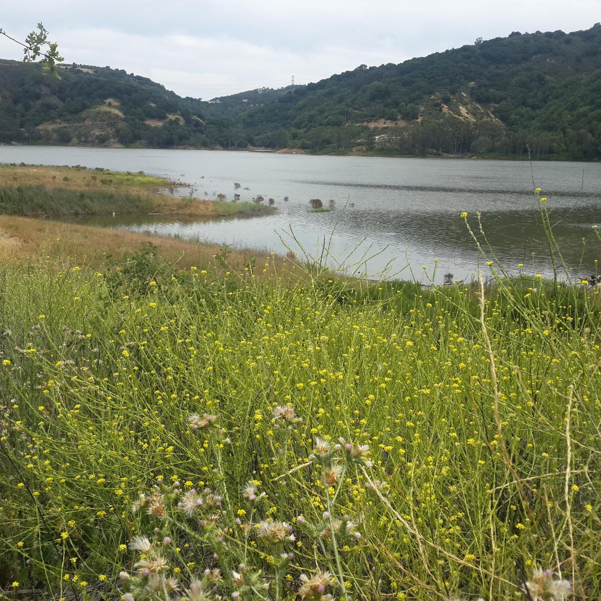
Serving as a scenic backdrop to the town of Los Gatos, St. Joseph's Hill is a 1,250-foot hill that looks down Los Gatos Creek valley and down over nearby Lexington Reservoir. It is also the summit of the Manzanita trail, which is a classic ride best done on a gravel bike.
0
0

Indian Rock, a natural climbing spot, is located at the entrance of the Sanborn-Skyline County Park. The rock consists of Sandstone, but don't have the red colors that are so commonly found in the American southwest.
0
0

This area was formerly an old mining road used to access a mercury ore tunnel. Additionally, you'll find a park bench here where you can sit and appreciate the surroundings.
0
0

One of the highest virtually car-free road climbs in the South Bay, Mount Umunhum became quickly one of the most popular biking destinations since opening to the public in 2017 after being closed several decades for military radar operations. The hard work is rewarded with spectacular 360 degree views of the Sierra Azul Open Space Preserve and the surrounding hills, all the way to the Pacific Ocean in the West and the SF Bay to the north. Modern restrooms, drinking water fountains, and viewing terraces with benches welcome the weary. Don't be afraid, or too overwhelmed by your superpowers if you look at komoot's 9800 ft uphill climb estimate for this highlight. Their software is off by a factor of 5x or more. The actual elevation difference is around 1800 feet (about 600 meters). According to GoogleMaps the distance is only 5.2 miles, with about 2000 feet uphill. Even that is not bad, and you deserve to be proud ;-)
3
0
Indian Rock, natural climbing spot is located at the entrance of the Sanborn-Skyline County Park. The rock consists of Sandstone but don't have the red colors that are so commonly found in the American southwest.
1
0
Well paved road reopened in 2017, climbing sometimes steeply in switchbacks into the Sierra Azul preserve from Hicks Road to the former radar tower on the summit of Mt Umunhum. It's a great workout, but don't be discouraged by the exaggerated 2950 feet elevation change estimate here by Komoot (in biking mode it even calculates 9750 feet): in reality it's closer to 1600 feet of climbing.
3
0
Frequently Asked Questions
What are some of the most popular mountain peaks to visit in Lexington Hills?
Visitors frequently enjoy Saint Josephs Hill summit for its expansive views of Los Gatos and Silicon Valley. Another highly regarded spot is the Mount Umunhum Road (climb), which leads to a former radar tower and offers panoramic vistas.
What kind of views can I expect from the mountain peaks in Lexington Hills?
The peaks in Lexington Hills offer diverse views. From Saint Josephs Hill summit, you can see across Los Gatos, the Los Gatos Creek valley, and into Silicon Valley, as well as south towards the Lexington Reservoir. Mount Umunhum provides spectacular 360-degree views of the Sierra Azul Open Space Preserve, the surrounding hills, and even the Pacific Ocean and SF Bay on clear days.
Are there challenging climbs for experienced hikers or cyclists in Lexington Hills?
Yes, Lexington Hills offers several challenging climbs. The Mount Umunhum Road (climb) is a significant workout for cyclists and hikers, involving switchbacks and an elevation change of approximately 1,600 to 1,800 feet. The Summit of Sanborn County Park, at 3,005 feet, also presents a great and challenging experience, particularly for mountain bikers.
What is the highest peak in the Lexington Hills area?
Loma Prieta is the highest peak in the Santa Cruz Mountains and is located within the broader Lexington Hills area. It offers some of the most expansive and commanding views in the region.
Are there opportunities for rock climbing in Lexington Hills?
Yes, Indian Rock is a natural climbing spot located at the entrance of the Sanborn-Skyline County Park. It consists of sandstone and offers a unique challenge for climbing enthusiasts.
What outdoor activities can I do near the mountain peaks in Lexington Hills?
Near the mountain peaks, you can find a variety of outdoor activities. For running, explore routes like the Alma and Redwood Springs Loop or the Manzanita and Jones Trail Loop. Mountain biking enthusiasts can tackle trails such as the Bay Area Ridge Trail: Sanborn to Saratoga Gap or the Lake Ranch Reservoir – Summit of Sanborn County Park loop. Hiking options include the Madrone Knoll Loop and the Limekiln and Priest Rock Trail Loop. You can find more details on these activities in the respective guides for running, MTB, and hiking around Lexington Hills.
Are there any viewpoints that are easily accessible or offer a place to rest?
Yes, Randol Trail is a viewpoint that was formerly an old mining road. It features a park bench where visitors can sit and appreciate the surroundings. Additionally, Mount Umunhum has modern restrooms, drinking water fountains, and viewing terraces with benches at its summit.
What natural features can I observe on the mountain peaks in Lexington Hills?
The region is rich in natural features. You can observe diverse landscapes within the Santa Cruz Mountains, including challenging climbs, expansive viewpoints, and unique geological formations like the sandstone at Indian Rock. The area also features the Lexington Reservoir and the Los Gatos Creek valley, visible from various summits.
What do visitors enjoy most about the mountain peaks in Lexington Hills?
Visitors particularly appreciate the rewarding views after a challenging climb, such as the panoramic vistas from Mount Umunhum. The accessibility and comprehensive overviews from spots like Saint Josephs Hill summit are also highly valued. The variety of experiences, from strenuous ascents to scenic viewpoints, makes the area appealing.
Are there any historical points of interest associated with the mountain peaks?
Yes, the Mount Umunhum summit features a former radar tower, which was part of military operations and has since reopened to the public in 2017. The Randol Trail viewpoint was also formerly an old mining road used to access a mercury ore tunnel, adding a historical layer to the natural beauty.
What is the best time to visit the mountain peaks in Lexington Hills?
While specific seasonal recommendations aren't detailed, starting early in the day is often advised for challenging climbs like Mount Umunhum to avoid traffic and heat. The region's diverse landscapes can be enjoyed throughout the year, but checking local weather conditions is always recommended for optimal hiking or cycling experiences.
Most popular attractions around Lexington Hills

Get inspired with the komoot mobile app


Explore more
See even more amazing summits around Lexington Hills with these guides:
