The best cycling routes around Lexington Hills
4.7
(42)
930
riders
47
rides
Touring cycling routes around Lexington Hills are situated within Santa Clara County, California, nestled in the Santa Cruz Mountains. The region features a landscape of rolling hills, lush forests, and open space preserves. Key natural features include Lexington Reservoir and surrounding parklands, offering varied terrain for cycling. This area provides a mix of paved routes and paths through mountainous environments.
Best touring cycling routes around Lexington Hills
- The most popular touring cycling route is Lake Ranch Reservoir – Lake Ranch…
Last updated: June 26, 2026
5.0
(2)
25
riders
83.6km
05:40
1,410m
1,410m
Hard bike ride. Very good fitness required. Mostly paved surfaces. Suitable for all skill levels.
19
riders
71.4km
04:45
1,110m
1,110m
Hard bike ride. Very good fitness required. Mostly paved surfaces. Suitable for all skill levels.

Sign up for free
5.0
(1)
18
riders
17.8km
01:13
310m
310m
Moderate bike ride. Good fitness required. Mostly paved surfaces. Suitable for all skill levels.
17
riders
58.8km
04:38
1,310m
1,310m
Hard bike ride. Very good fitness required. Mostly paved surfaces. Suitable for all skill levels.
13
riders
59.4km
04:19
1,230m
1,230m
Hard bike ride. Very good fitness required. Mostly paved surfaces. Suitable for all skill levels.
Get access to more routes and recommendations from other explorers.
Sign up for free
Already have an account?
Our route recommendations are based on thousands of hikes, rides, and runs completed by other people on komoot.
Start today with a free account
Your next adventure awaits.
Login or Signup
Tips from the Community

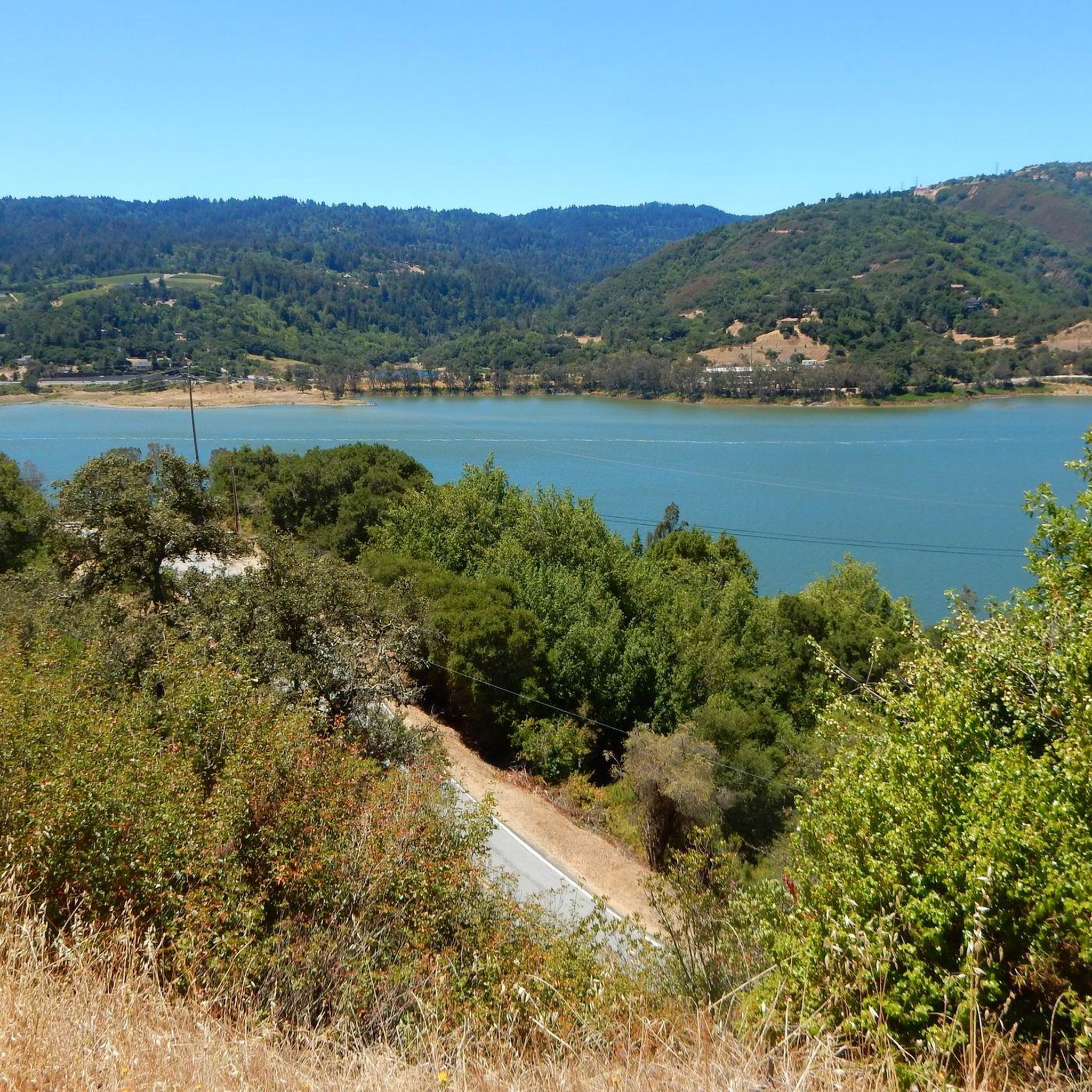
A scenic stop just off the winding roads of the Santa Cruz Mountains, Lexington Reservoir County Park is a great spot to catch your breath and enjoy the view. The smooth pavement along Alma Bridge Road makes it a popular stretch for cyclists, with rolling terrain and minimal traffic. There's parking, restrooms, and shaded areas if you need a break. From here, you can loop toward Los Gatos or push deeper into the climbs of Highway 17 and Old Santa Cruz Highway.
0
0

Vasona Reservoir, located on Los Gatos Creek, is surrounded by the 152-acre Vasona Lake County Park. Built in 1935 as one of six original reservoirs approved by voters in 1934. Vasona Reservoir holds 495 acre-feet of water and spans 57 acres. The park offers picnicking, catch-and-release fishing, and human-powered boating. Swimming is not permitted. It's a great spot for photography and sunrises.
1
0

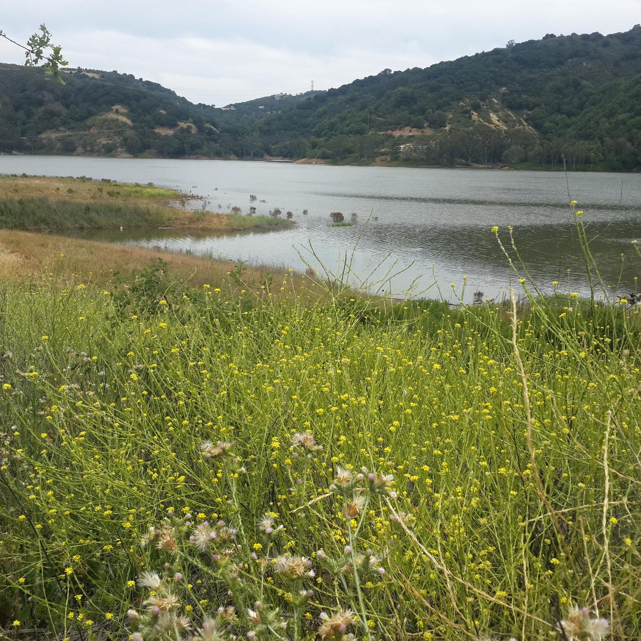
An excellent spot to take a break and enjoy the full breath of Lexington Reservoir. There is a Plaque dedicated to deputy Douglas B. Miller, who was fatally wounded while performing his duties.
0
0

If you keep biking south from here along the Los Gatos Creek Trail, you'll quickly reach Vasona Lake County Park, which has some nice multi-use trail loops where biking is allowed.
0
0

This is a great little trail that takes you through the woods, connecting the neighborhoods west of La Rinconada Country Club.
0
0
From the top of the dam you get splendid views out across Lexington Reservoir. To the north you overlook the winding end of the Los Gatos Creek Trail, which connects to the Jones Trail across from the restroom just up the road. The dam itself was constructed in 1952 and stands at nearly 200 feet tall.
0
0

Felton Covered Bridge Park is a small city park and home to the Felton Covered Bridge, which is the tallest covered bridge in the United States. The bridge is a California Historical Landmark and is listed on the National Register of Historic Places. Additionally, the park offers a playground, sand volleyball court, picnic area, and access to the San Lorenzo River.
0
0
Capitola Village is a quaint town in Santa Cruz County. The downtown area offers 90 shops, restaurants, and lodging right on the beach. It's also the oldest beach resort on the West Coast.
0
0
Frequently Asked Questions
How many touring cycling routes are available in Lexington Hills?
Lexington Hills offers a wide selection of touring cycling routes, with over 50 routes available for exploration. These routes cater to various skill levels, including easy, moderate, and challenging options.
What kind of terrain can I expect on touring cycling routes in Lexington Hills?
The touring cycling routes in Lexington Hills are primarily situated within the Santa Cruz Mountains, featuring a diverse landscape of rolling hills, lush forests, and scenic open space preserves. You'll encounter a mix of paved roads and paths, often with significant elevation changes, especially around natural features like Lexington Reservoir.
Are there touring cycling routes suitable for beginners or families in Lexington Hills?
Yes, Lexington Hills has options for less experienced riders and families. There are 8 easy touring cycling routes available, providing a gentler introduction to the area's beautiful scenery. While specific family-friendly routes aren't detailed, routes with less elevation gain, such as the James J. Lenihan Dam – Lexington Reservoir loop from Santa Cruz Mountains, could be suitable.
Are there challenging touring cycling routes for experienced riders in Lexington Hills?
Absolutely. For experienced touring cyclists seeking a challenge, Lexington Hills boasts 27 difficult routes. These often feature significant elevation gains and longer distances. Routes like the Capitola Village – Mountain Charlie Road loop from Lexington Reservoir County Park, spanning over 50 miles with substantial climbing, are popular among advanced riders.
What are some scenic viewpoints or natural features I can see along the touring cycling routes?
The routes in Lexington Hills offer numerous scenic viewpoints and natural features. You can cycle past the beautiful Lexington Reservoir, explore areas with Old Growth Redwood Trees, or even reach summits like Mount El Sombroso or Bald Mountain Summit for expansive views of the Santa Cruz Mountains.
Are there any circular touring cycling routes in Lexington Hills?
Yes, many of the touring cycling routes in Lexington Hills are designed as loops, allowing you to start and end at the same point. Examples include the challenging Lake Ranch Reservoir – Lake Ranch Reservoir loop from Lexington Reservoir County Park and the Pringle Grove loop from Lexington Reservoir County Park, which takes you through forested hills.
What do other touring cyclists enjoy the most about touring cycling in Lexington Hills?
The touring cycling routes in Lexington Hills are highly rated by the komoot community, with an average score of 4.6 stars from over 30 reviews. Reviewers often praise the challenging climbs, the stunning natural beauty of the Santa Cruz Mountains, and the scenic views around Lexington Reservoir and through the lush forests.
Where can I park when visiting touring cycling routes in Lexington Hills?
Many touring cycling routes in Lexington Hills, particularly those starting near the Lexington Reservoir County Park, offer designated parking areas. The park itself is a popular starting point and provides access to various routes. It's advisable to check specific route details on komoot for precise parking information.
Is public transport available to access touring cycling routes in Lexington Hills?
While Lexington Hills is situated in a more natural, mountainous area, public transport options directly to trailheads might be limited. Cyclists often drive to starting points like Lexington Reservoir County Park. For connections to broader areas, the Los Gatos Creek Trail offers a paved path that can connect to other parks and potentially more accessible areas.
What is the best time of year to go touring cycling in Lexington Hills?
The Santa Cruz Mountains region, where Lexington Hills is located, generally offers pleasant cycling conditions for much of the year. Spring and fall typically provide mild temperatures and beautiful scenery. Summer can be warm, especially on exposed climbs, while winter might bring cooler temperatures and occasional rain, though many routes remain accessible.
Are there any other lakes or reservoirs I can cycle near in Lexington Hills?
Beyond Lexington Reservoir, the region features several other beautiful bodies of water. You can find routes that pass by Vasona Lake County Park and Vasona Lake, or even offer views of Guadalupe Reservoir. The Vasona Lake – Camden Ponds loop from Santa Cruz Mountains is one such route that explores the area around Vasona Lake.
Are dogs allowed on touring cycling routes in Lexington Hills?
Regulations regarding dogs can vary by specific park or preserve within the Lexington Hills area. While some open spaces may allow dogs on leash, it's always best to check the specific rules for each trail or park you plan to visit, especially within county parks or preserves like Lexington Reservoir County Park or Bear Creek Redwoods Open Space Preserve.
Most popular attractions around Lexington Hills

Get inspired with the komoot mobile app


Explore more
Browse the best Cycling routes in other regions.
