The best running trails around La Crescenta-Montrose
4.1
(14)
1,319
runners
51
runs
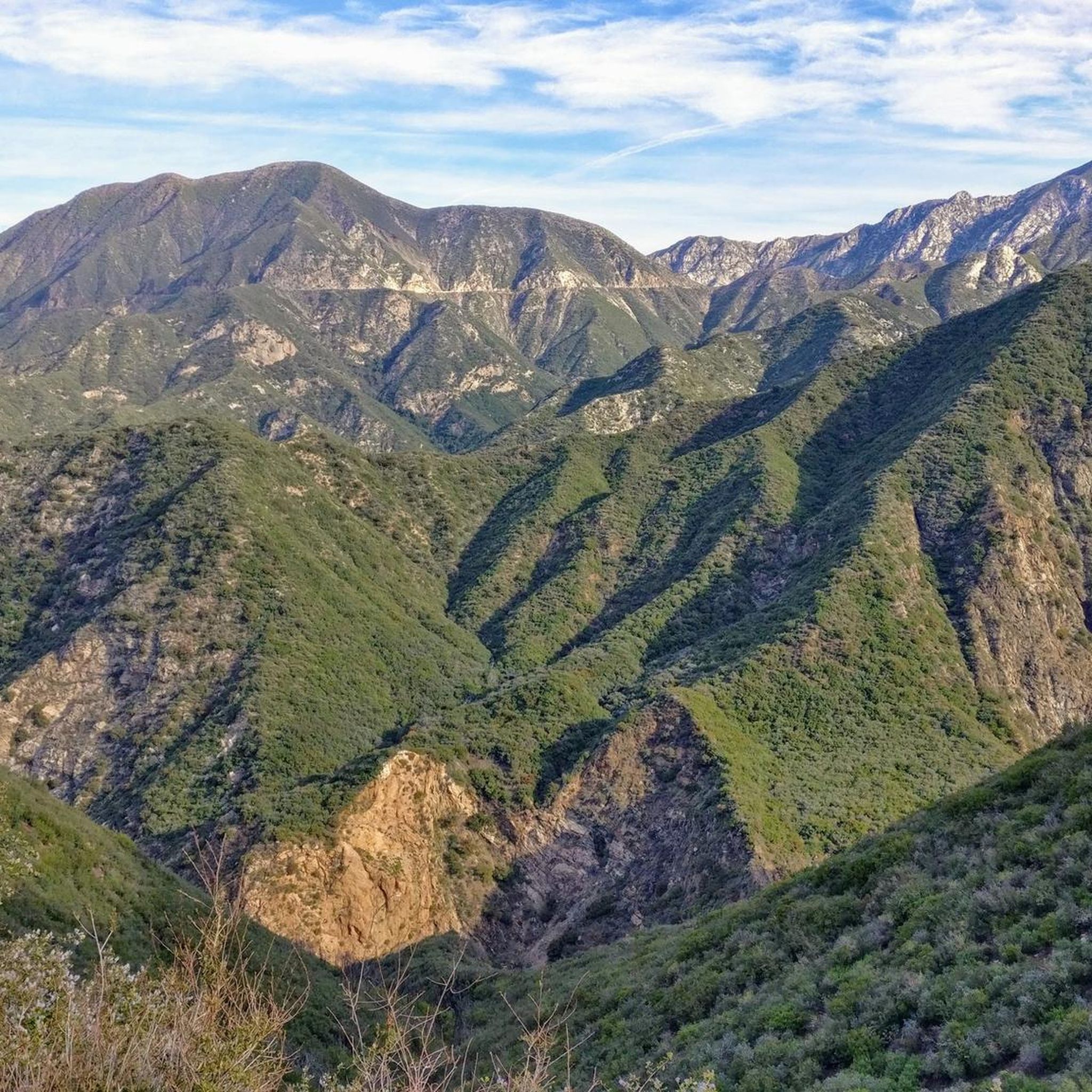
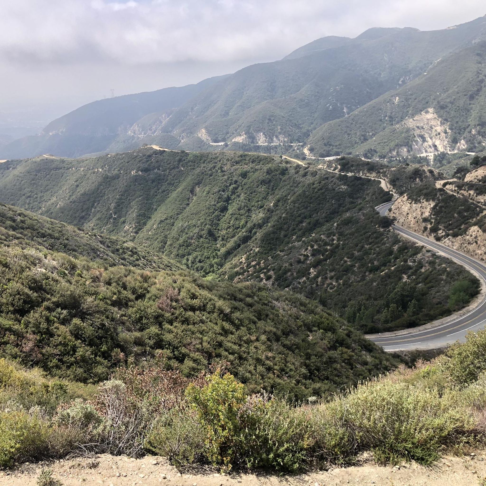
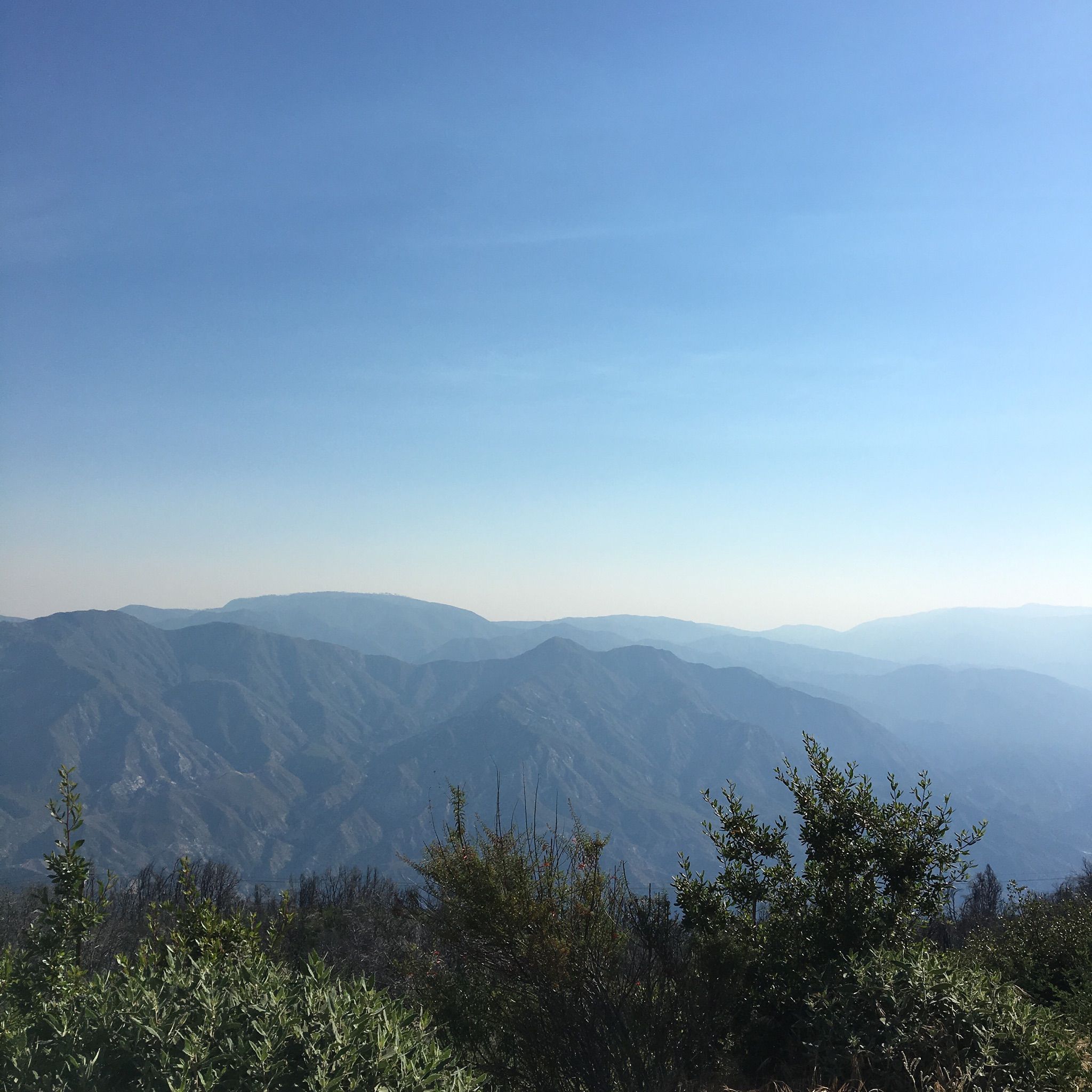
Jogging around La Crescenta-Montrose offers diverse terrain, situated at the base of the San Gabriel Mountains and bordering the Angeles National Forest. The region features extensive park systems and a variety of trails, providing opportunities for scenic runs. The landscape includes parts of the Verdugo Mountains and the northwestern San Rafael Hills, offering varied topography and rewarding views. The Crescenta Valley provides a picturesque backdrop for many running routes.
Best jogging routes around La Crescenta-Montrose
- The most popular jogging route…
Last updated: June 27, 2026

1
runners
12.5km
01:43
590m
590m
Hard run. Very good fitness required. Mostly paved surfaces. Suitable for all skill levels.
34
runners
7.23km
00:46
70m
70m
Moderate run. Good fitness required. Mostly paved surfaces. Suitable for all skill levels.

Sign up for free
34
runners
24.4km
02:36
270m
270m
Hard run. Very good fitness required. Mostly paved surfaces. Suitable for all skill levels.
14
runners
11.0km
01:15
140m
140m
Moderate run. Good fitness required. Mostly paved surfaces. Suitable for all skill levels.
10
runners
11.9km
01:36
410m
410m
Hard run. Very good fitness required. Mostly paved surfaces. Suitable for all skill levels.
Get access to more routes and recommendations from other explorers.
Sign up for free
Already have an account?
Our route recommendations are based on thousands of hikes, rides, and runs completed by other people on komoot.
Start today with a free account
Your next adventure awaits.
Login or Signup
Tips from the Community

The Gabrielino Trail spans 28.8 miles in the heart of Angeles National Forest, featuring a mix of well-known and secluded areas. This scenic route is perfect for running and boasts historical importance as well. In 1970, it became the first National Recreation Trail (NRT) in the country, honored for its regional representation, support of a diverse community, and recognition as one of America's finest trails.
0
0

Brookside Park is Pasadena's largest fully maintained park at 61.1 acres. It sits south of Rose Bowl Stadium with tons of parking off Arroyo Boulevard. The park features a lighted baseball diamond, two softball diamonds, and a large, lighted, multi-purpose field for soccer and flag football. There is also a speaker's platform with permanent seating, numerous picnic tables, barbecue pits, a play area, restrooms, and drinking fountains.
0
0
Built in 1920, Devil's Gate Dam is the oldest dam constructed by the Los Angeles County Flood Control District, designed to protect Pasadena, South Pasadena, and Los Angeles from floods. The dam was named after a rock formation resembling a devil’s face and gained popularity in the 1940s when occultists performed rituals there. Today, Devil's Gate Dam attracts hikers, paranormal investigators, and TV crews checking out its haunted reputation.
0
0

You can approach this 3,124-foot peak from several directions, but the multi-use Verdugo Motorway is the most common uphill option.
0
0

MRCA Open Space is managed by the Mountains Recreation and Conservation Authority, which oversees 75,000 acres of public parkland and open space owned by the Santa Monica Mountains Conservancy, this space offers great views and shaded trails for a refreshing and tranquil biking experience.
1
0
LA City Open Space provides a pleasant ride through a lush forest just moments away from the city. The space offers good shade provided by the trees, enhancing the overall biking experience.
0
0

Devil's Gate Dam is an abandoned dam, close to Hahamongna Watershed Park. From the bridge you get an amazing view of the valley and the surrounding area. Below the bridge there are a couple of tunnels that might be the reason why this place is considered a portal to hell, giving the dam its name.
0
0

My first time doing this peak. It was a great workout with good views.
0
0
Frequently Asked Questions
How many running routes are available in La Crescenta-Montrose?
There are over 50 running routes around La Crescenta-Montrose, offering a diverse range of options for joggers. These routes are highly rated by the komoot community, with an average score of 4.2 stars from more than 15 reviews.
What kind of terrain can I expect on the running trails in La Crescenta-Montrose?
The region offers diverse terrain, situated at the base of the San Gabriel Mountains and bordering the Angeles National Forest. You'll find mountain foothills, extensive park systems, and valley paths. Expect varied topography, from relatively flat sections in parks to significant elevation changes on trails leading into the mountains, such as those in the Verdugo Mountains and the northwestern San Rafael Hills.
Are there running routes suitable for beginners or those looking for an easy jog?
Yes, while many routes offer challenging elevation, there are options for all skill levels. The area includes easy paths within its extensive park systems. For example, the Gabrielino Trail (NRT) loop from Saint Francis High School is a moderate 5.0-mile trail that offers a less strenuous experience through the Angeles National Forest.
Can I find running routes with significant elevation gain for a more challenging workout?
Absolutely. La Crescenta-Montrose is ideal for runners seeking elevation. Routes like Wella's Peak – Angeles National Forest feature significant climbs. For an even greater challenge, the Verdugo Peak loop from San Rafael Hills Open Space offers substantial elevation changes and rewarding views from Verdugo Peak.
Are there any circular running routes in the area?
Yes, many routes in La Crescenta-Montrose are designed as loops, perfect for a continuous run. Popular options include the Brookside Park loop from Saint Francis High School, the Gabrielino Trail (NRT) loop from Saint Francis High School, and the Rose Bowl Loop from Saint Francis High School.
What natural landmarks or scenic viewpoints can I enjoy while running?
The region boasts stunning natural beauty. Many trails offer panoramic views of the Crescenta Valley, Los Angeles basin, and surrounding mountains. Notable viewpoints include Verdugo Peak, View from Mount Lukens, and Bee Rock. Deukmejian Wilderness Park and Cherry Canyon Park also provide excellent vistas.
Are there any running routes that offer shade, especially during warmer months?
Yes, many routes, particularly those within the Angeles National Forest or through parks with mature trees, offer welcome shade. Areas like Deukmejian Wilderness Park and Crescenta Valley Community Regional Park feature numerous trees and native flora, providing cooler sections for running.
Are there any waterfalls along the running trails?
Yes, for those interested in natural water features, the Upper Switzer Falls is a notable waterfall located near some of the area's trails, offering a picturesque destination or point of interest during your run.
What do other runners say about jogging in La Crescenta-Montrose?
The running routes in La Crescenta-Montrose are highly regarded by the komoot community, with an average score of 4.2 stars. Runners often praise the diverse terrain, the stunning views of the San Gabriel Mountains and Los Angeles, and the variety of trails catering to different fitness levels.
Are there any lesser-known or 'hidden gem' running spots in La Crescenta-Montrose?
Beyond the more popular trails, areas like the Rosemont Preserve offer a quieter experience with walking trails through protected wilderness. Crescenta Valley Community Regional Park is also considered a 'hidden jewel' with pleasant green spaces for runs, and Pickens Canyon Park provides a smaller, thoughtfully landscaped option for a leisurely jog.
What kind of wildlife might I encounter on the trails?
Given its proximity to the Angeles National Forest and extensive wilderness parks, runners might encounter various local wildlife. This can include deer, coyotes, and a variety of bird species. Always be aware of your surroundings and maintain a respectful distance from any animals you encounter.
Are there any historical sites or interesting man-made landmarks near the running routes?
Yes, the region has several interesting landmarks. You might consider visiting the Historic Colorado Street Bridge, the Railway yard with steam trains, or the Brand Library & Park. For history enthusiasts, the Mount Lowe Railway Ruins offer a glimpse into the area's past.
Most popular attractions around La Crescenta-Montrose

Get inspired with the komoot mobile app


Explore more
Browse the best Running Trails & Routes in other regions.
