The best walks and hikes around La Crescenta-Montrose
4.7
(108)
2,049
hikers
105
hikes
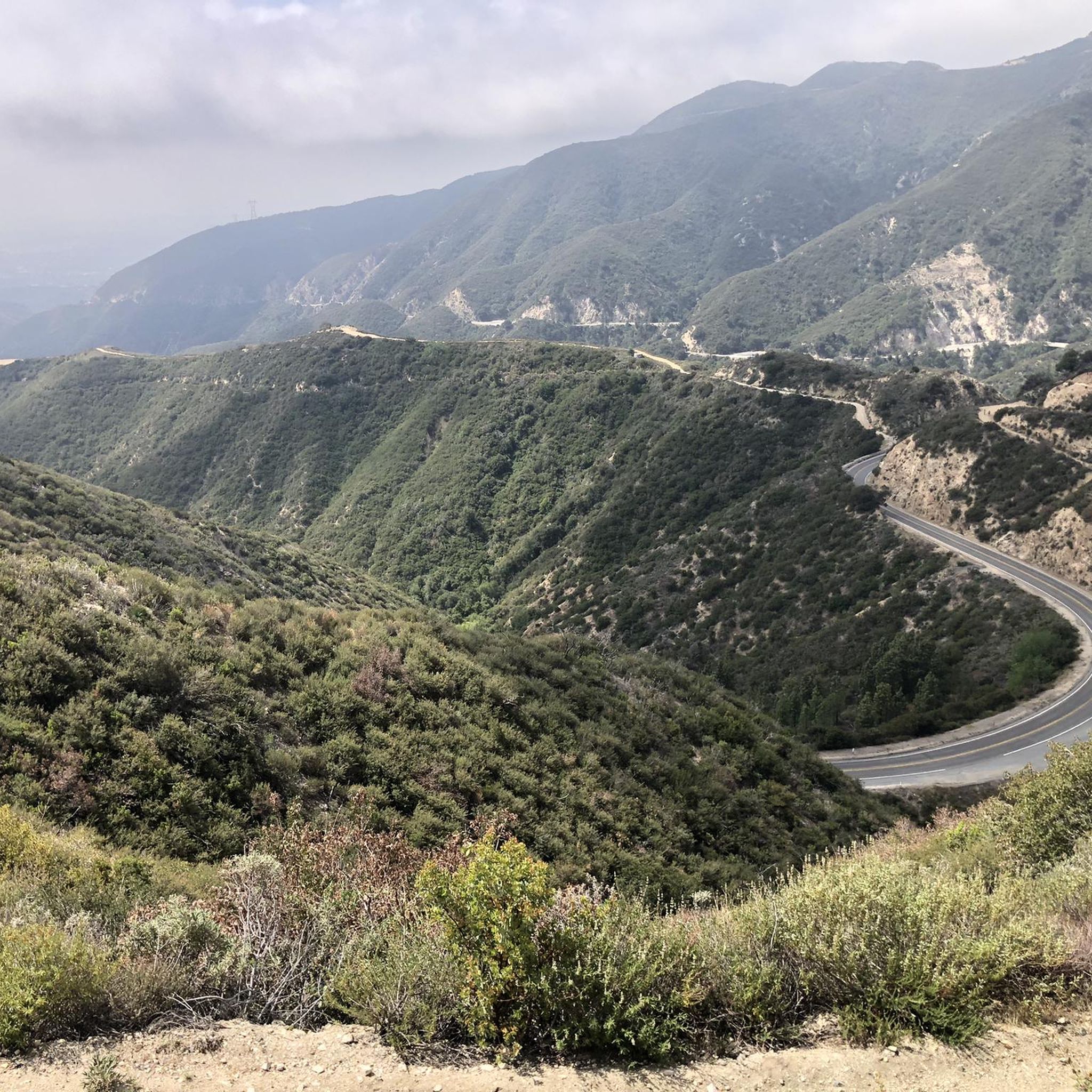
Hiking around La Crescenta-Montrose explores the foothills of the San Gabriel and Verdugo Mountains. The area is characterized by rugged, chaparral-covered slopes and provides access to the expansive Angeles National Forest. Trails primarily consist of fire roads and mountain paths, with many routes featuring significant elevation gain and views across the Crescenta Valley.
Best hiking trails around La Crescenta-Montrose
- The most popular hiking route is Tongva Peak via the Beaudry Motorway loop, a 6.7 miles (10.8 km) trail that takes 3 hours 30 minutes to complete. This moderate hike follows a wide fire road with a steady ascent to the peak.
- Another top favourite among local hikers is Mount Lukens via Dunsmore Canyon, a difficult 9.8 miles (15.8 km) path. This route involves a challenging climb with over 2,800 feet (857 m) of elevation gain.
- Local hikers also love the Earl Canyon Mountainway from La Cañada Flintridge, a 7.3 miles (11.8 km) trail leading through the Angeles National Forest, often completed in about 4 hours.
- Hiking around La Crescenta-Montrose is defined by ascents into the San Gabriel Mountains, chaparral-lined canyons, and wide fire roads. The trail network provides options for both moderate and challenging hikes with substantial elevation.
- The routes in La Crescenta-Montrose are highly rated by the komoot community with an average score of 4.6 stars from more than 70 reviews. More than 1,300 hikers have used komoot to explore La Crescenta-Montrose's varied terrain.
Last updated: September 28, 2026
5
hikers
5.22km
01:32
180m
90m
Easy hike. Great for any fitness level. Easily-accessible paths. Suitable for all skill levels.
2.28km
00:49
200m
10m
Easy hike. Great for any fitness level. Easily-accessible paths. Suitable for all skill levels.

11.4km
03:58
1,000m
30m
Hard hike. Very good fitness required. Easily-accessible paths. Suitable for all skill levels.
1.38km
00:23
20m
20m
Easy hike. Great for any fitness level. Easily-accessible paths. Suitable for all skill levels.
5.0
(2)
66
hikers
10.9km
03:31
480m
480m
Moderate hike. Good fitness required. Easily-accessible paths. Suitable for all skill levels.
Get access to more routes and recommendations from other explorers.
Already have an account?
Our route recommendations are based on thousands of hikes, rides, and runs completed by other people on komoot.
Start today with a free account
Your next adventure awaits.
Tips from the Community

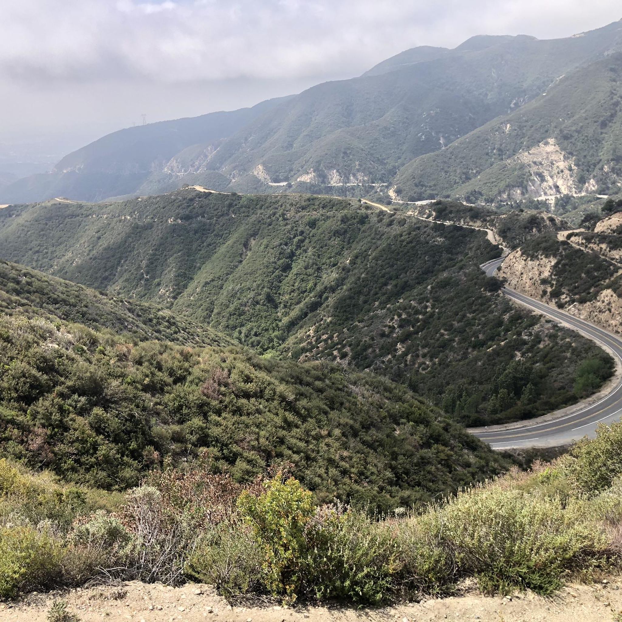
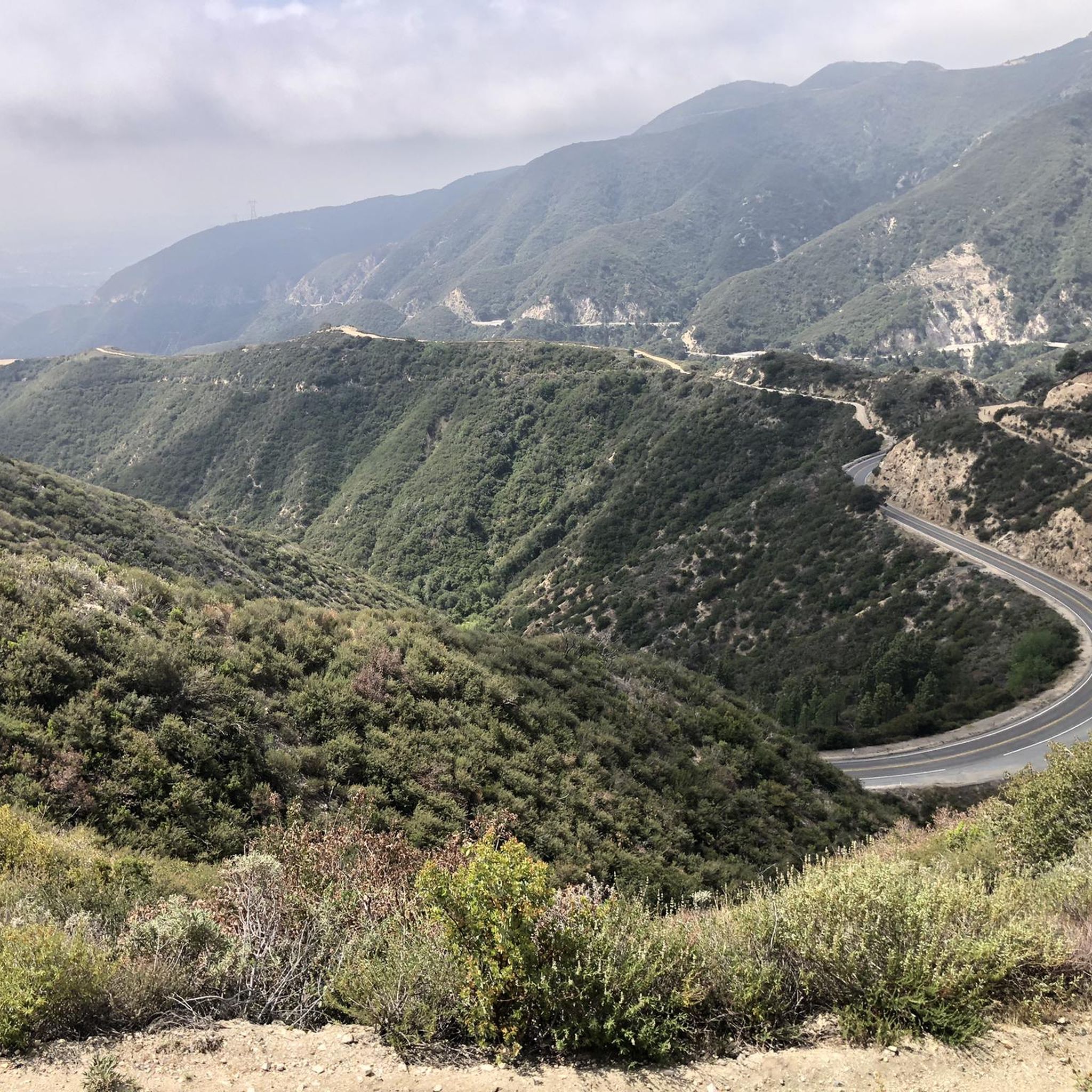
Great view of Downtown LA. The climb up into the hills to reach the viewpoint is challenging, but it is worth the effort for the excellent vistas.
0
0

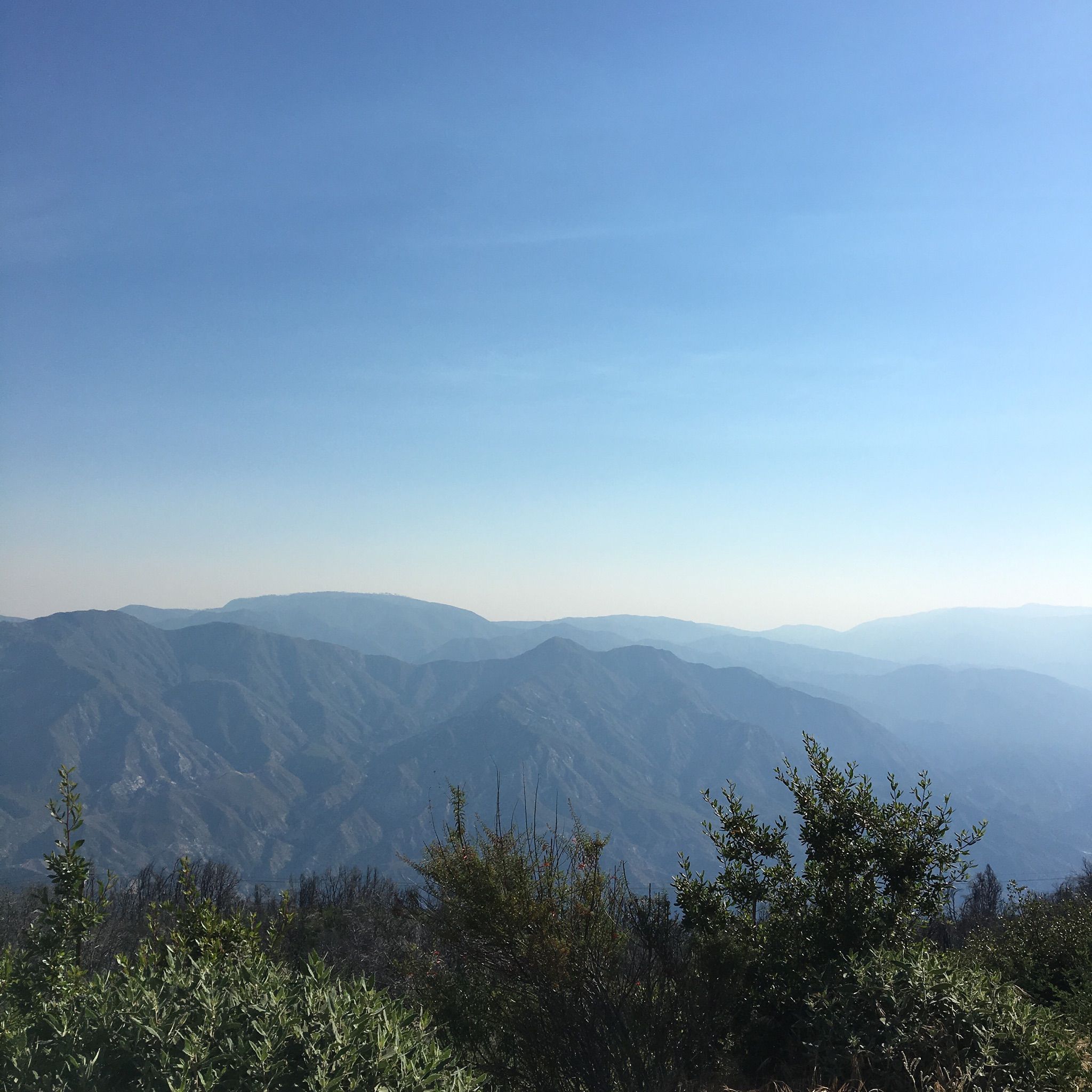
This overlook, very close to the tower on Cerro Negro, offers one of the best views in the area. Soak in the great vistas towards Glendale, Los Angeles and the Verdugo Mountains.
0
0

Tongva Peak stands at 2,656 feet and is a popular destination with hikers, trail runners, and mountain bikers and gravel riders. There are radio towers at the top along with a plaque on a rock, marking the summit. This is a great place to snap some photos and enjoy the views after a challenging hike!
0
0
Frequently Asked Questions
Are dogs allowed on the hiking trails around La Crescenta-Montrose?
Yes, many trails in the area are dog-friendly, especially the wide fire roads in the Verdugo Mountains and Angeles National Forest. Trails within Deukmejian Wilderness Park are also popular with dog owners. Always keep your dog on a leash and bring plenty of water for them, as the trails can be exposed and hot.
Can I find any waterfall hikes in the area?
While the immediate trails are mostly dry chaparral, a short drive will take you to some popular waterfall hikes. Switzer Falls Trail is a well-regarded option leading through a canyon to a waterfall. Another nearby choice is Trail Canyon Falls, which involves a moderate hike with a steep final section assisted by ropes.
What are some good easy, family-friendly hikes in La Crescenta-Montrose?
For a gentle, family-friendly experience, the trails within Deukmejian Wilderness Park are an excellent choice. They offer scenic views and a chance to see the historic Le Mesnager stone barn without a strenuous climb. Another option is the Cherry Canyon loop, known for being a relatively easy walk suitable for beginners and children.
Which trails offer the best views of the Crescenta Valley?
Many routes provide expansive views. For a challenging hike with rewarding panoramas, the Mount Lukens via Haines Canyon Road loop ascends to the highest point in Los Angeles, offering incredible vistas. For a less strenuous but still scenic option, the trails in the Verdugo Mountains, such as those around Tongva Peak, provide excellent views across the valley.
What are the trail conditions like in Deukmejian Wilderness Park?
Deukmejian Wilderness Park features a mix of well-maintained trails and more rugged paths. You'll find both gentle loops suitable for casual walks and more challenging routes that climb into the San Gabriel Mountain foothills. The park is known for its scenic vistas, native chaparral, and the historic stone barn, making it a local favorite for hiking.
Are there any circular hiking routes available?
Yes, many of the most popular hikes in the area are loops. For example, the Tongva Peak via the Beaudry Motorway loop is a well-traveled circular route on a wide fire road. These loops allow you to experience varied scenery without having to backtrack.
How many hiking trails are there to choose from around La Crescenta-Montrose?
There are over 60 designated hiking routes in the La Crescenta-Montrose area. These range from easy walks in local parks to difficult mountain ascents in the Angeles National Forest, offering plenty of options for all skill levels.
What do other hikers say about the trails in this region?
The trails around La Crescenta-Montrose are highly rated by the komoot community, with an average score of 4.6 stars. Hikers often praise the stunning panoramic views from the peaks and the network of accessible fire roads that make for great, challenging workouts.
What should I wear or bring for a hike in this area?
Sturdy hiking shoes with good grip are essential, as trails can be rocky and steep. Wear layered clothing, as temperatures can change with elevation. Most trails are very exposed to the sun, so a hat, sunglasses, and sunscreen are crucial. Always carry more water than you think you'll need, especially during warmer months.
Are these trails suitable for trail running?
Yes, the wide fire roads, known locally as 'motorways,' are very popular for trail running. Routes like the Earl Canyon Mountainway offer steady climbs and descents that are ideal for a challenging run with great views.
What is parking like at the trailheads?
Parking is typically available in designated lots at major trailheads like those in Deukmejian Wilderness Park or at the base of popular routes like the Beaudry Loop. In other areas, you may need to find street parking in residential neighborhoods. It's always best to arrive early, especially on weekends, to secure a spot and to be respectful of local residents.
Are there any particularly challenging hikes for experienced hikers?
Absolutely. For a strenuous day out, the Vergudo and Tongva Peaks loop is a difficult, nearly 12-mile (19 km) trek that summits multiple peaks in the Verdugo Mountains. It involves significant elevation gain and rewards hikers with far-reaching views.
Most popular attractions around La Crescenta-Montrose

Get inspired with the komoot mobile app


Explore more
Browse the best Hikes in other regions.
