The best walks and hikes around Fruitdale
4.1
(18)
664
hikers
58
hikes
Hiking around Fruitdale, located within the San Jose area, offers access to a comprehensive urban trail network and accessible natural spaces. The region features diverse topography, ranging from flat urban trails to paths with city views, and is characterized by significant creek systems like Los Gatos Creek. These natural features contribute to the area's green spaces and extensive trail systems, providing varied terrains for outdoor activities.
Best hiking trails around Fruitdale
- The most popular hiking route is Central Park loop, an easy 1.8 miles (2.9 km) trail that takes about 44 minutes to complete, offering a pleasant walk through a local park.
- Another top favourite among local hikers is Los Gatos Creek Trail Loop, an easy 4.6 miles (7.4 km) path. This route follows the scenic Los Gatos Creek, providing a tranquil experience alongside the water.
- Local hikers also love the Mission Santa Clara de Asis loop, a 1.2 miles (1.9 km) trail leading through historical grounds, often completed in about 28 minutes.
- Hiking around Fruitdale is defined by urban trail networks, creek systems, and accessible parklands. The network offers options for various ability levels, from easy strolls to more extended paths.
- The routes in Fruitdale are highly rated by the komoot community with an average score of 4.3 stars from more than 10 reviews. More than 600 hikers have used komoot to explore Fruitdale's varied terrain.
Last updated: July 1, 2026
8
hikers
2.91km
00:44
10m
10m
Easy hike. Great for any fitness level. Easily-accessible paths. Suitable for all skill levels.
7.36km
01:52
20m
20m
Easy hike. Great for any fitness level. Easily-accessible paths. Suitable for all skill levels.

Sign up for free
1.87km
00:29
0m
0m
Easy hike. Great for any fitness level. Easily-accessible paths. Suitable for all skill levels.
87
hikers
6.11km
01:34
20m
20m
Easy hike. Great for any fitness level. Easily-accessible paths. Suitable for all skill levels.
17
hikers
Moderate hike. Good fitness required. Easily-accessible paths. Suitable for all skill levels.
Get access to more routes and recommendations from other explorers.
Sign up for free
Already have an account?
Our route recommendations are based on thousands of hikes, rides, and runs completed by other people on komoot.
Start today with a free account
Your next adventure awaits.
Login or Signup


Tips from the Community

The Campbell Farmers' Market is held every Sunday year-round, with fresh, locally grown produce, handcrafted items, and live music. It is consistently rated as one of the best farmers' markets in the South Bay and is well worth a stop to grab something for lunch or just browse the wide variety of interesting things you'll find here.
0
0

This Franciscan mission was founded by the Spanish in 1777 and still holds services today. The architecture and gardens surrounding the church are beautiful, and this makes for the perfect place to stroll and take in the local scenery and history.
0
0

Central Park is a large community space with paved running trails, large grass fields, and a nearby aquatic center. There are potable water stops all throughout the park.
0
0
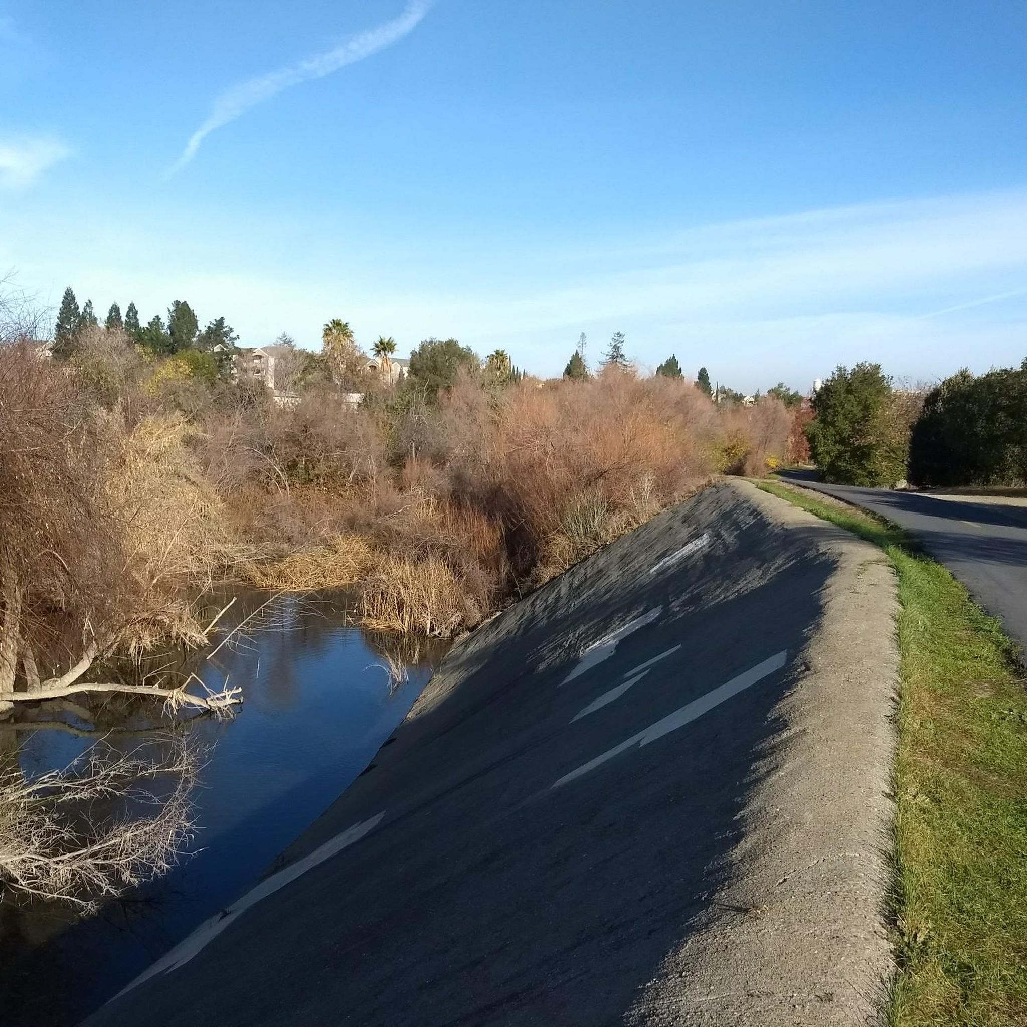
A lovely truss bridge spans the small forested canyon carved by Los Gatos Creek. On the south side there is a large parking lot for the Los Gatos Creek Trail.
1
0

Willow Glen area of the Los Gatos Creek Trail.
0
0

Camden Ponds consist of three man-made ponds designed to serve as reservoirs for water management. The ponds, along with the surrounding wetlands, make it an ideal location for birding enthusiasts.
0
0
These ponds are perfect for practicing and honing your fishing skills, as well as improving your casting technique. Typically, there are experienced anglers in the area who can offer guidance and assistance.
0
0

The Campbell Water Tower is one of the most recognizable landmarks in Campbell. Originally built by the Campbell Water Company in 1892 to serve the residents and framers with fresh water. The tower was no longer needed after Campbell Water Company merged with The San Jose Water Company in the late 1970s. In 1994 the San Jose Water Company transferred ownership of the tower back to the city, at which point it became a park.
0
0
Frequently Asked Questions
How many hiking trails are available around Fruitdale?
Fruitdale, located within the San Jose area, offers a wide variety of options for hikers. There are over 50 hiking routes available, catering to different preferences and skill levels.
Are there hiking trails for all skill levels in Fruitdale?
Yes, the trails around Fruitdale accommodate various skill levels. You'll find a good selection of easy routes, with over 35 options perfect for a leisurely stroll. There are also 14 moderate trails for those seeking a bit more challenge, and a couple of difficult routes for experienced hikers.
What kind of landscapes can I expect to see while hiking in Fruitdale?
Hiking around Fruitdale offers diverse topography, from flat urban trails to paths with panoramic city views. The region is characterized by significant creek systems like Los Gatos Creek and Guadalupe River, contributing to green spaces and extensive trail networks. You can also find areas with rolling grasslands and wooded sections, especially in parks like Santa Teresa County Park.
Are there any circular hiking routes around Fruitdale?
Yes, there are several circular routes available. For an easy and pleasant walk, consider the Central Park loop. Another popular option is the Los Gatos Creek Trail Loop, which offers a tranquil experience alongside the water. You might also enjoy the historical grounds of the Mission Santa Clara de Asis loop.
What do other hikers enjoy the most about hiking in Fruitdale?
The hiking experience around Fruitdale is highly rated by the komoot community, with an average score of 4.3 stars from over 10 reviews. Hikers often praise the accessibility of the urban trail networks, the scenic creek systems, and the variety of accessible parklands that offer both easy strolls and more extended paths.
Are there any family-friendly hiking options in Fruitdale?
Many of the easy trails in Fruitdale are suitable for families. The Central Park loop is a short and easy option. Parks like Vasona Lake County Park, which features trails and recreational activities, also provide great settings for family outings.
What interesting places or landmarks can I see while hiking near Fruitdale?
While hiking, you can explore several interesting landmarks and natural features. The Guadalupe River Trail, Park & Gardens offers public art and follows the river. You can also visit Vasona Lake County Park, which surrounds a 57-acre reservoir and provides opportunities for picnicking and boating. For a unique sight, look for Lupe the Mammoth.
Are there any trails that follow creeks or offer water views?
Yes, the region is known for its creek systems. The Los Gatos Creek Trail Loop is a prime example, running alongside the scenic Los Gatos Creek. The Guadalupe River Trail also follows the Guadalupe River, offering pleasant water views and green spaces.
What is the best time of year to hike in Fruitdale?
Spring is an excellent time to hike in Fruitdale, as parks and trails in the wider San Jose area, such as Santa Teresa Park and Almaden Quicksilver County Park, burst with native wildflowers, including the California poppy. The weather is generally pleasant for outdoor activities during this season.
Is parking generally available at trailheads in the Fruitdale area?
Given Fruitdale's location within the San Jose area and its comprehensive urban trail network, many parks and trail access points typically offer designated parking facilities. However, it's always advisable to check specific park or trailhead information for details on parking availability and any potential fees.
Are there any longer hiking routes for more extended outings?
While many routes are shorter, you can combine sections of trails for longer outings. For example, the Los Gatos Creek Trail extends for 9.7 miles, offering the potential for longer walks by connecting various parks. The Fly Casting Pond loop from Campbell is another option, covering approximately 4 miles.
Can I find trails with historical significance in Fruitdale?
Yes, the region has historical connections. The Mission Santa Clara de Asis loop takes you through historical grounds. Additionally, the nearby Almaden Quicksilver County Park, a site of over 135 years of mining activities, offers trails amidst natural beauty and historical insights.
Most popular attractions around Fruitdale

Get inspired with the komoot mobile app


Explore more
Browse the best Hikes in other regions.
