The best walks and hikes around Friant
62
hikers
11
hikes
If you've ever tried planning a hike around Friant, you know how quickly the options can feel overwhelming. With so many trails to choose from, it's tough to tell which ones are genuinely worth your time and effort. That's where we come in: our komoot community has mapped, walked, and reviewed countless routes here, and we've distilled that collective wisdom into a curated shortlist of the very best. We're here to save you the guesswork and point you straight to the trails that deliver.
Hiking around Friant is all about embracing the unique blend of the San Joaquin River's rugged cliffs and the rolling foothills of the Sierra Nevada. You'll find everything from gentle riverside paths to more challenging ascents that reward you with expansive views over Millerton Lake. The terrain here is diverse, offering a great mix for all abilities, though many of the best experiences involve some steady climbs.
If you only do one hike, make it the Pincushion Peak Trail, a 3.0-mile (4.8 km) route that offers some of the most rewarding panoramic views for its length. For a more relaxed experience with beautiful lake views and gentle rolling hills, the Tesoro Viejo Trail is a fantastic 3.5-mile (5.6 km) option. Ready to explore? Dive into our top picks and find your next favorite route with komoot.
Last updated: May 28, 2026
16
hikers
4.78km
01:33
170m
270m
The Pincushion Peak Trail offers a surprisingly intense climb for its length, leading you through beautiful oak woodland to a summit with truly expansive views. You'll navigate mixed dirt and loose gravel, with some steep sections and even a Class 2 rock scramble near the top. From Pincushion Mountain, you're rewarded with a 360-degree panorama of Millerton Lake, Table Mountain, and the distant high Sierras, making the 3.0-mile (4.8 km) round trip with 544 feet (166 metres) of elevation gain feel well worth the effort.
Plan your visit during the cooler months of spring or fall to enjoy wildflowers and green grass, as summer can be very hot with sparse shade. The trail is officially rated easy, but don't underestimate the consistent uphill grade; it's a vigorous workout that typically takes around 1 hour and 33 minutes. Remember to carry plenty of water, and keep an eye out for rattlesnakes, especially when it's warm.
Located within the Millerton Lake State Recreation Area, this trail is a popular spot for photography and wildlife viewing, with deer, rabbits, and even bald eagles occasionally spotted. While it's a short out-and-back, you can extend your adventure by connecting to the longer San Joaquin River Trail or exploring a 4.5-mile loop option. Dogs are welcome on leash, making it a great outing for your canine companion.
4
hikers
2.54km
00:58
260m
40m
The Pincushion Peak Trail offers a surprisingly intense workout for its length, rewarding hikers with expansive 360-degree views from the summit. You'll navigate a steep, consistent uphill climb over 1.6 miles (2.5 km) of mixed dirt, loose gravel, and rocky terrain, with some boulder scrambling near the top. From Pincushion Mountain, you can gaze out over Millerton Lake, the San Joaquin River, and the distant Sierra Nevada mountains, especially beautiful when spring wildflowers bloom in the oak woodland.
Planning your visit means preparing for a challenging ascent and a potentially slippery descent, so sturdy hiking shoes are a must. With 850 feet (259 metres) of elevation gain packed into just 58 minutes, this trail is a quick but rigorous experience. There's minimal shade, so bring ample water, and consider hiking during the cooler months of fall, winter, or early spring; dogs are permitted on leash.
Despite its "easy" difficulty rating, the Pincushion Peak Trail is known locally as a demanding "hill climb" that has even hosted races, making it a popular spot for those seeking a quick, high-intensity outdoor challenge. The trail's consistent steepness and significant elevation gain over a short distance make it a unique test of endurance, offering a rewarding sense of accomplishment and exceptional viewpoints for your effort.

Sign up for free
5.56km
01:27
30m
60m
The Tesoro Viejo Trail offers a delightful journey through the Sierra Nevada foothills, showcasing a blend of open grasslands, oak woodlands, and views of distant orchards. You'll navigate a mix of paved and dirt paths, encountering unique spots like Beaver Pond and the serene Old Oak Grove, which add character to the landscape. It's an easy route, perfect for those seeking accessible nature and a chance to spot wildlife like hawks.
Planning your visit is straightforward, with the trailhead conveniently located at the Tesoro Viejo Town Center. Given the limited shade, the best time to hike is during Fall, Winter, or Spring; if you go in summer, aim for early mornings. Always keep dogs on leashes and stick to designated paths to protect the local environment.
This 3.5-mile (5.6 km) hike, with a minimal 95 feet (29 metres) of elevation gain, is rated easy and typically takes about 1 hour and 27 minutes. It's part of an extensive trail system that prioritizes preserving natural open space, making it a notable example of community-integrated conservation in Madera County.
7.04km
02:07
230m
210m
The Pincushion Mountain Trail offers a rewarding escape into the local landscape, providing a good workout with scenic payoffs. As you ascend, you'll likely traverse varied terrain, eventually linking up with the San Joaquin River Trail, where views of the river and surrounding natural features can be enjoyed. This route is a moderate 4.4-mile (7.0 km) hike with 746 feet (227 metres) of elevation gain, making it a perfect choice for a half-day adventure that takes about 2 hours and 7 minutes.
Planning your visit is straightforward; the trail is generally accessible for day use. It's always wise to bring plenty of water, especially if you're hiking during warmer periods, and wear sturdy shoes suitable for inclines. Starting your hike in the morning or late afternoon can help you avoid the midday heat and enjoy the best light for photography.
This trail is a great way to experience the natural beauty of Fresno County, offering a chance to connect with the local environment. The highlight of the route, the San Joaquin River Trail at Pincushion Mountain, suggests a blend of mountain views and riparian scenery. It's an excellent option for those looking for a moderately challenging hike that provides a sense of accomplishment without requiring an entire day.
3
hikers
5.27km
01:37
190m
190m
The Pincushion Peak Trail offers a surprisingly vigorous workout for its length, leading you up a consistent climb over mixed dirt and loose gravel. You'll navigate some steep sections and a short rock scramble near the top, but the reward is a stunning 360-degree panoramic view from the summit, encompassing Millerton Lake, Table Mountain, and the San Joaquin River. This 3.3-mile (5.3 km) hike, with 609 feet (186 metres) of elevation gain, is rated easy but provides a solid challenge, typically taking about 1 hour and 36 minutes to complete.
Planning your visit is straightforward, as the trail is accessible year-round. However, spring and fall are ideal for cooler temperatures and the chance to see wildflowers. Be prepared for an exposed path with very little shade, especially during warmer months, and ensure you have good grip on your footwear for the potentially slippery descent. It's a popular choice for a quick, impactful outdoor experience, so consider an early start to beat any crowds.
What makes this trail stand out is its ability to deliver spectacular, sweeping vistas without requiring an extensive time commitment. It's a favorite among locals and visitors alike for its rewarding views, making it an excellent spot for photography. Keep an eye out for grazing cows, but also be aware that rattlesnakes are present in the area.
Get access to more routes and recommendations from other explorers.
Sign up for free
Already have an account?
Our route recommendations are based on thousands of hikes, rides, and runs completed by other people on komoot.
Start today with a free account
Your next adventure awaits.
Login or Signup
Popular around Friant

Tips from the Community

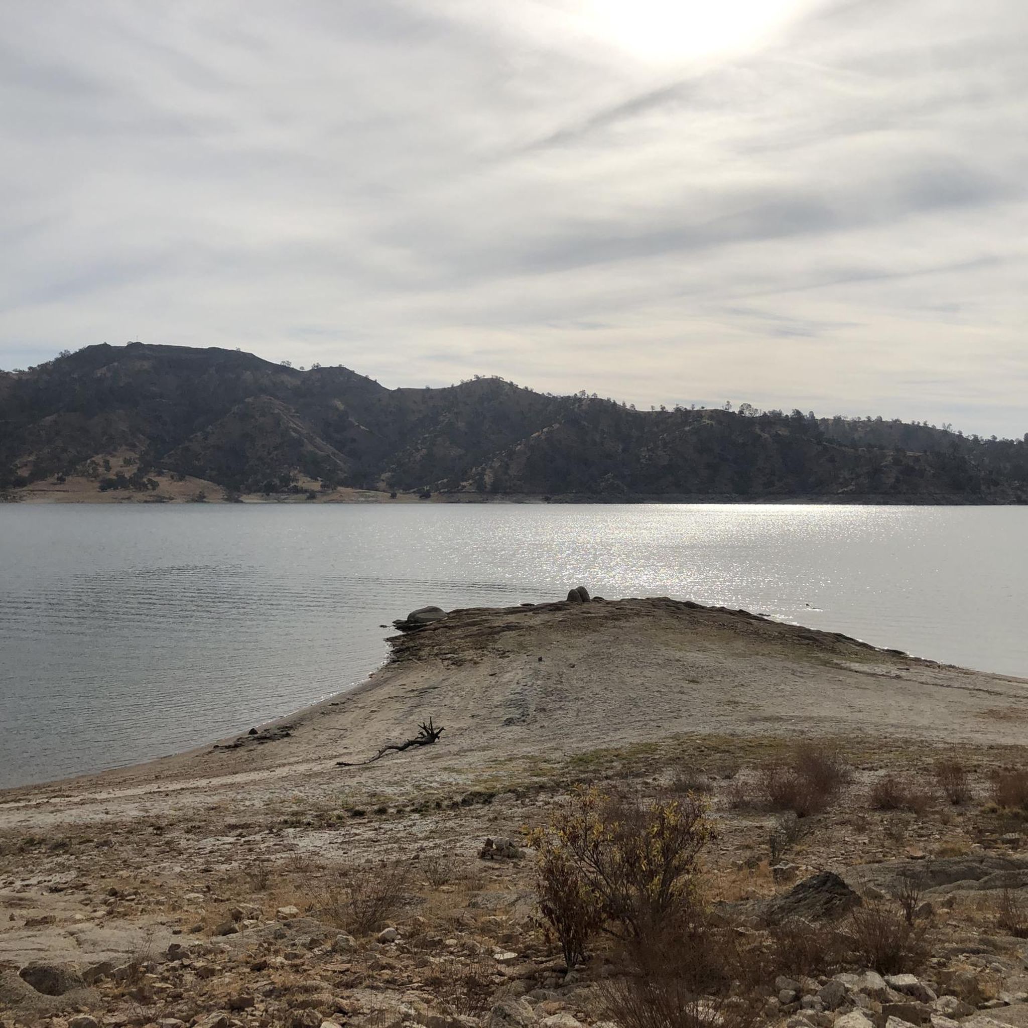
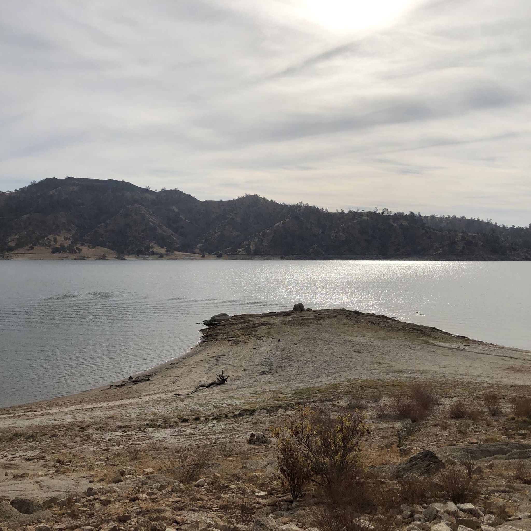
The San Joaquin River Trail starts at the base of Pincushion Mountain right at the shoreline of Millerton Lake which was created by damming up the river. The trail leads to the summit of the 1,580 feet high Pincushion Mountain with stunning views over the lake and nearby hills and ends within the San Joaquin River Gorge Special Recreation Management Area further north.
2
0
Frequently Asked Questions
How many hiking trails are available around Friant?
There are several hiking trails around Friant, offering diverse experiences. komoot lists 7 routes, ranging from easy riverside paths to more challenging ascents, allowing you to explore the Sierra Nevada foothills and the San Joaquin River area.
Are there easy hiking trails suitable for beginners in Friant?
Yes, Friant offers several easy hiking trails. For instance, the Blue Oak Trail – Millerton Lake State Recreation Area is an easy path traversing the shoreline of Millerton Lake, known for its gentle rolling terrain and birdwatching opportunities. The Hidden Homes Nature Trail is another short, easy path.
Are there any challenging hikes for experienced hikers in the Friant area?
While many trails are easy, the region does offer more strenuous options. The San Joaquin River Trail, for example, features rugged cliffs, rolling hills, and deep canyons, providing a more adventurous experience. For experienced hikers, the Table Mountain Trail near Friant ascends to the top, offering expansive views and unique flora.
What kind of natural features and landmarks can I expect to see on hikes around Friant?
Hiking around Friant offers diverse natural features. You'll encounter the scenic San Joaquin River, the expansive Millerton Lake, and views of the Sierra Nevada foothills. Trails often provide opportunities for wildlife viewing, especially various bird species. Notable landmarks include Millerton Lake itself, and the San Joaquin River Trail at Pincushion Mountain.
Are there any circular hiking routes in Friant?
Yes, there are circular routes available. A popular option is the Pincushion Mountain loop from Friant, which leads through the Millerton Lake area and offers scenic views.
What is the best time of year to go hiking in Friant?
The best time for hiking in Friant is generally during the cooler months, from late fall through spring (October to May), when temperatures are mild and comfortable. Summers can be very hot, making early morning or late afternoon hikes preferable if visiting during that season.
Are the hiking trails around Friant suitable for families with children?
Yes, many trails in Friant are family-friendly. The Small Fry Trail at the Friant Interactive Nature Site (FINS) is specifically designed as a children's exploratory trail. The Hidden Homes Nature Trail is another short, engaging option for families. Easy trails like the Blue Oak Trail are also suitable for families.
Are dogs allowed on the hiking trails in Friant?
Many trails in the Friant area are dog-friendly, though leash laws typically apply. It's always best to check specific regulations for each park or trail section you plan to visit. The Lewis S. Eaton Trail is a multi-use trail where dogs are generally permitted.
What do other hikers enjoy most about hiking in Friant?
The area is highly rated by the komoot community, with an average score of 5.0 stars. Hikers often praise the diverse terrain, from riverside paths to lake views, and the opportunities for nature observation and wildlife viewing along the trails.
Are there accessible hiking options for people with mobility challenges?
The MacMichael Trail within the Jensen River Ranch property includes a paved, ADA-accessible section, making it suitable for individuals with mobility challenges. The Lewis S. Eaton Trail is also a multi-use path that can accommodate various users.
Is parking available at the trailheads in Friant?
Parking is generally available at popular trailheads and recreation areas around Friant, such as Millerton Lake State Recreation Area and Lost Lake Recreation Area. Specific parking details may vary by location, so it's advisable to check ahead for your chosen starting point.
Where can I find more information about the San Joaquin River Parkway?
The San Joaquin River Parkway offers an extensive network of properties for public recreation. For more detailed information on open properties and recreational opportunities, you can visit the official website: sjrc.ca.gov.
Most popular routes around Friant
Most popular attractions around Friant

Get inspired with the komoot mobile app


Explore more
Browse the best Hikes in other regions.
