The best walks and hikes around East Pasadena
4.8
(100)
1,987
hikers
87
hikes
Hikes around East Pasadena provide access to the rugged terrain of the San Gabriel Mountains and Angeles National Forest. The area is characterized by a transition from urban parks to steep canyons, pine-covered ridges, and fire roads. Trails range from gentle paths in the Arroyo Seco to challenging ascents to peaks with expansive views.
Best hiking trails around East Pasadena
- The most popular hiking route is Jones Peak — Angeles National Forest, a 6.5 mile (10.5 km) trail that…
Last updated: July 1, 2026
5.0
(1)
17
hikers
4.15km
01:06
30m
40m
Easy hike. Great for any fitness level. Easily-accessible paths. Suitable for all skill levels.
14
hikers
4.09km
01:05
40m
50m
Easy hike. Great for any fitness level. Easily-accessible paths. Suitable for all skill levels.

Sign up for free
4
hikers
3.01km
01:22
310m
10m
Moderate hike. Good fitness required. Mostly accessible paths. Sure-footedness required.
3
hikers
2.14km
00:33
10m
0m
Easy hike. Great for any fitness level. Easily-accessible paths. Suitable for all skill levels.
1.09km
00:24
110m
0m
Easy hike. Great for any fitness level. Easily-accessible paths. Suitable for all skill levels.
Get access to more routes and recommendations from other explorers.
Sign up for free
Already have an account?
Our route recommendations are based on thousands of hikes, rides, and runs completed by other people on komoot.
Start today with a free account
Your next adventure awaits.
Login or Signup




Tips from the Community

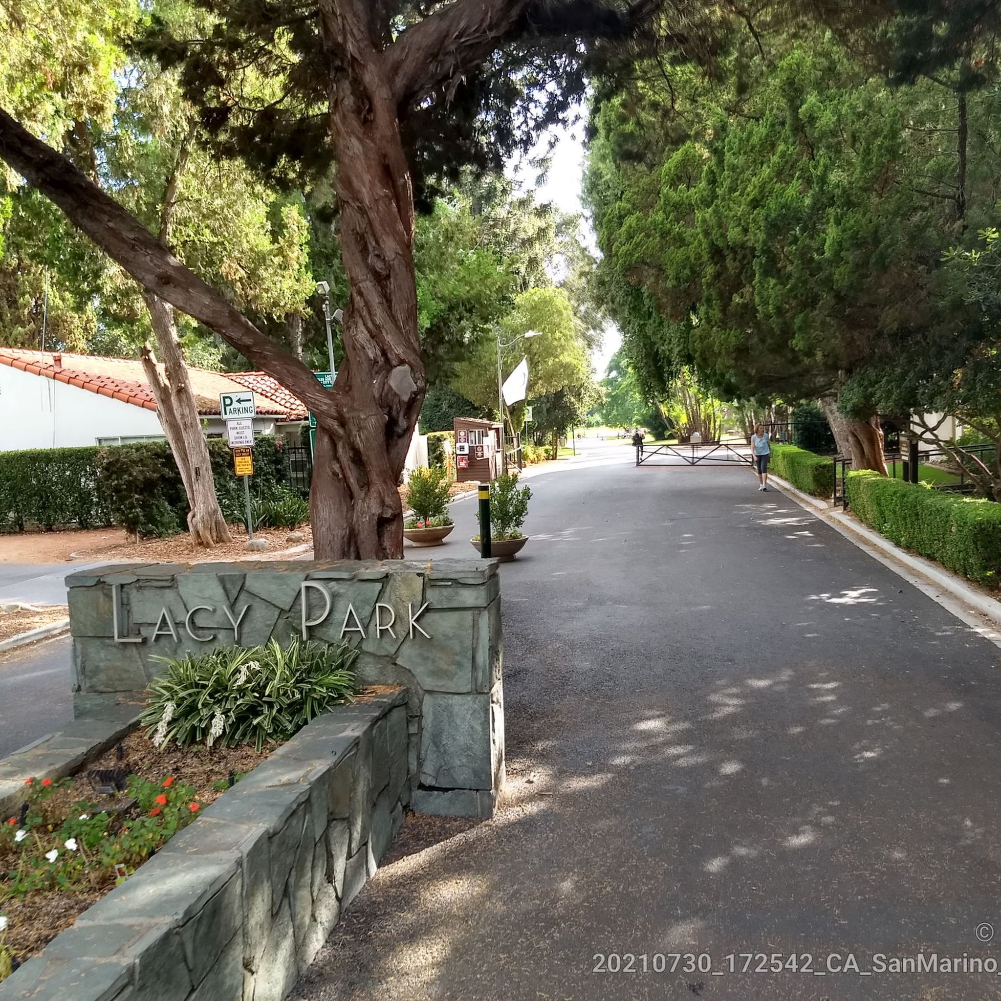
Famous art museum and Botanical Gardens open to the public, $25. Library for reaearchers
2
0
Frequently Asked Questions
Are there any easy, family-friendly hikes in East Pasadena?
Yes, the area offers several gentler options perfect for families or beginners. The Remains of an old mountain cabin loop from Sierra Madre is a moderate 5.5-mile (8.8 km) path that explores the foothills without extreme elevation. For a very easy and accessible walk, the Rose Bowl Three Mile Loop is a popular, paved path with great scenery.
Where can I find a hike with a waterfall?
The most well-known waterfall hike is in the Eaton Canyon Natural Area, which leads to a beautiful 40-foot waterfall. The trail is very popular and accessible for most skill levels. For a different experience, the Switzer Falls Trail in the Angeles National Forest also leads to a waterfall in a scenic gorge.
Can I bring my dog on the trails near East Pasadena?
Many trails in the Pasadena area and the Angeles National Forest are dog-friendly, provided your dog is on a leash. Hahamongna Watershed Park is a great option, as it has extensive trails and a dedicated dog park. Always check specific regulations for the trail you plan to hike, as some areas like the Eaton Canyon Natural Area may have restrictions to protect wildlife.
What's a good option for a challenging, strenuous hike?
For a tough workout with rewarding views, consider the Mount Yale via Bastard Ridge. This is a difficult hike with over 1,000 meters of elevation gain, taking you deep into the San Gabriel Mountains. It's a demanding route best suited for experienced hikers.
Which trails offer the most scenic views?
For expansive views of the city and mountains, the hike to Jones Peak — Angeles National Forest is an excellent choice. The significant elevation gain pays off with stunning panoramic vistas from the top. The Willson Skyline Trailhead is another starting point for routes known for their breathtaking scenery.
Are there any good circular or loop hikes?
Yes, you can find several great loop trails. The Mt. Wilson Trail via Bailey Canyon Trail loop is a 7.5-mile (12 km) circuit that offers a varied experience through different canyons. This allows you to enjoy a continuous journey without backtracking.
What should I know about trail safety in this area?
The San Gabriel Mountains are a rugged, natural environment. Always carry plenty of water, especially in summer. Be aware of your surroundings; rattlesnakes are native to the area and can sometimes be seen on trails. It's also critical to check for trail closures, particularly after rain or due to fire risk. Check the official Angeles National Forest page for the latest alerts before you go.
Are there any shaded trails for hiking in the summer?
Many of the canyon trails offer good shade, making them better choices for hot days. The trail through Millard Canyon is known for being relatively cool and shaded. Similarly, the lower sections of the Switzer Falls trail follow a creek and are shaded by trees. The South Pasadena Nature Park also features a pleasant, shaded trail.
How many hiking trails are there around East Pasadena?
There are over 40 curated hiking routes available to explore around East Pasadena on Komoot. These range from easy walks in city parks to extremely challenging ascents in the San Gabriel Mountains, offering something for every fitness level.
What do other hikers like about the trails in East Pasadena?
The trails are highly regarded by the Komoot community, with an average rating of 4.8 stars. Hikers frequently praise the incredible accessibility, allowing a quick transition from the city into true wilderness. The variety of trails, from shaded canyon paths to exposed ridges with panoramic views, is another commonly highlighted feature.
Is parking available at the trailheads?
Most popular trailheads, such as those for Eaton Canyon and in the Angeles National Forest, have dedicated parking lots. However, these can fill up very quickly, especially on weekends. It's always a good idea to arrive early or have a backup plan. Some trailheads in residential areas rely on street parking, so be sure to check for any restrictions.
Most popular attractions around East Pasadena

Get inspired with the komoot mobile app


Explore more
Browse the best Hikes in other regions.
