Attractions and Places To See around Camino Tassajara - Top 20
Best attractions and places to see around Camino Tassajara include a blend of natural beauty, historical sites, and recreational opportunities. This unincorporated community in Contra Costa County, California, is characterized by its picturesque landscape of rolling hills and open spaces. The area features the Sycamore Valley Regional Open Space and Sycamore Creek, offering scenic views and outdoor activities. It provides access to various hiking opportunities and is situated near prominent natural landmarks.
Best attractions and places to see around Camino…
Last updated: July 2, 2026
Mount Diablo Summit
Highlight • Summit
Tip by

Morgan Territory Road
Highlight (Segment) • Cycleway
Tip by

Sign up now to discover places like this
Get recommendations on the best single tracks, peaks, & plenty of other exciting outdoor places.
Sign up for free
Iron Horse Trail
Highlight (Segment) • Trail
Tip by
Devil's Pulpit
Highlight • Viewpoint
Tip by

Coyote Creek bridge
Highlight (Segment) • Bridge
Tip by

Sign up for free to discover even more attractions around Camino Tassajara.
Sign up for free
Already have an account?
Start today with a free account
Your next adventure awaits.
Login or Signup
Tips from the Community

Mount Diablo, is the Bay Area second-highest peak at 1173m (3849ft). The challenging climb features constantly fluctuating gradients averaging 8%, with tough sections up to 18% and a brutal 23% finish in the last 200m. The equally demanding descent requires good bike handling due to tight corners, potholes, and strong winds. The road to the top is open daily from 8 AM till sunset.
0
0

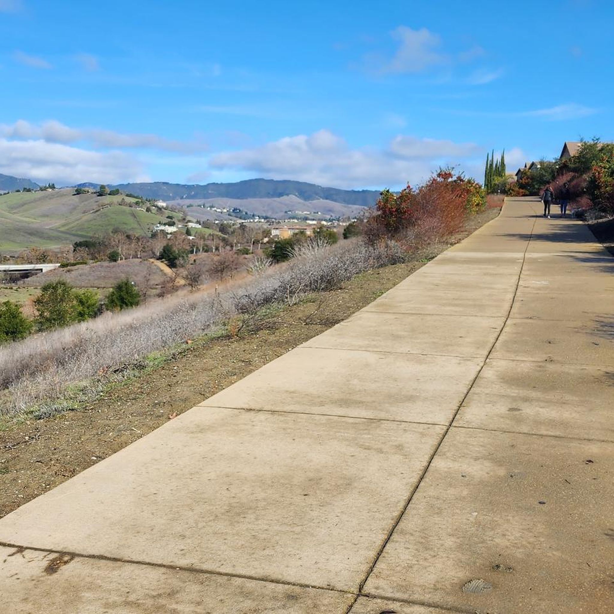
The Iron Horse Trail, open from 5 a.m. to 10 p.m., stretches 32 miles between Concord and Pleasanton, following the former Southern Pacific Railroad. The latest segment, connecting Pleasanton/Dublin BART to Santa Rita Road, opened in 2014 after nearly 30 years of planning. This multi-use trail links residential areas, schools, parks, and public transportation, providing a trail to the local community. This paved trail crosses roads but is a safe way of getting around away from traffic.
0
0


One of the fiercest peaks in the Bay. Always worth the effort. It’s often much cooler on the summit than the rest of the trails — there is a water spigot up there to fill up bottles. Also a store is open at some times. Don’t bank on it.
0
0

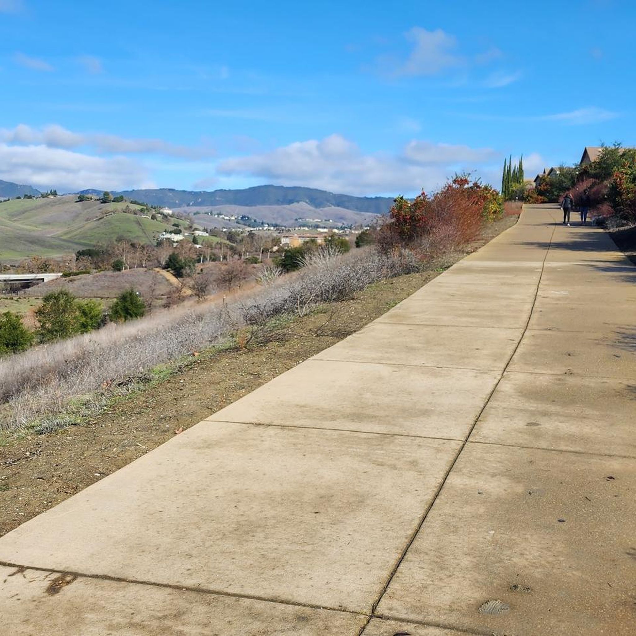
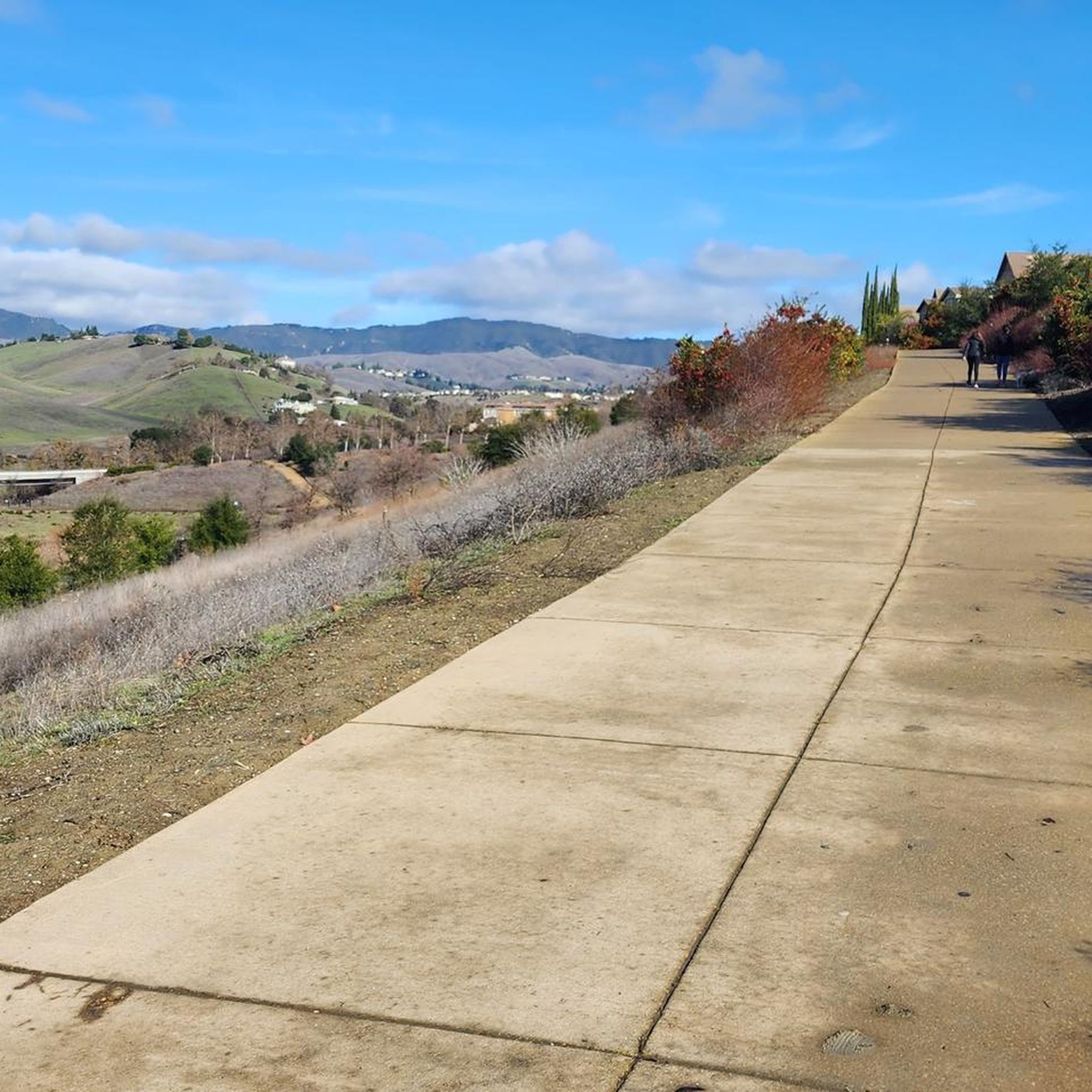
The trail runs through the great neighborhood of Southern San Ramon and crosses the bridge over Coyote Creek.
1
0
Morgan Territory Road in Contra Costa County is a picturesque and winding road known for its beauty. This 14.7-mile road runs from Marsh Creek Road to Manning Road, going in a north-south direction. There are stories of it being haunted. The fully paved, one-way road features narrow and curvy sections, adding to its unique and challenging ride.
0
0

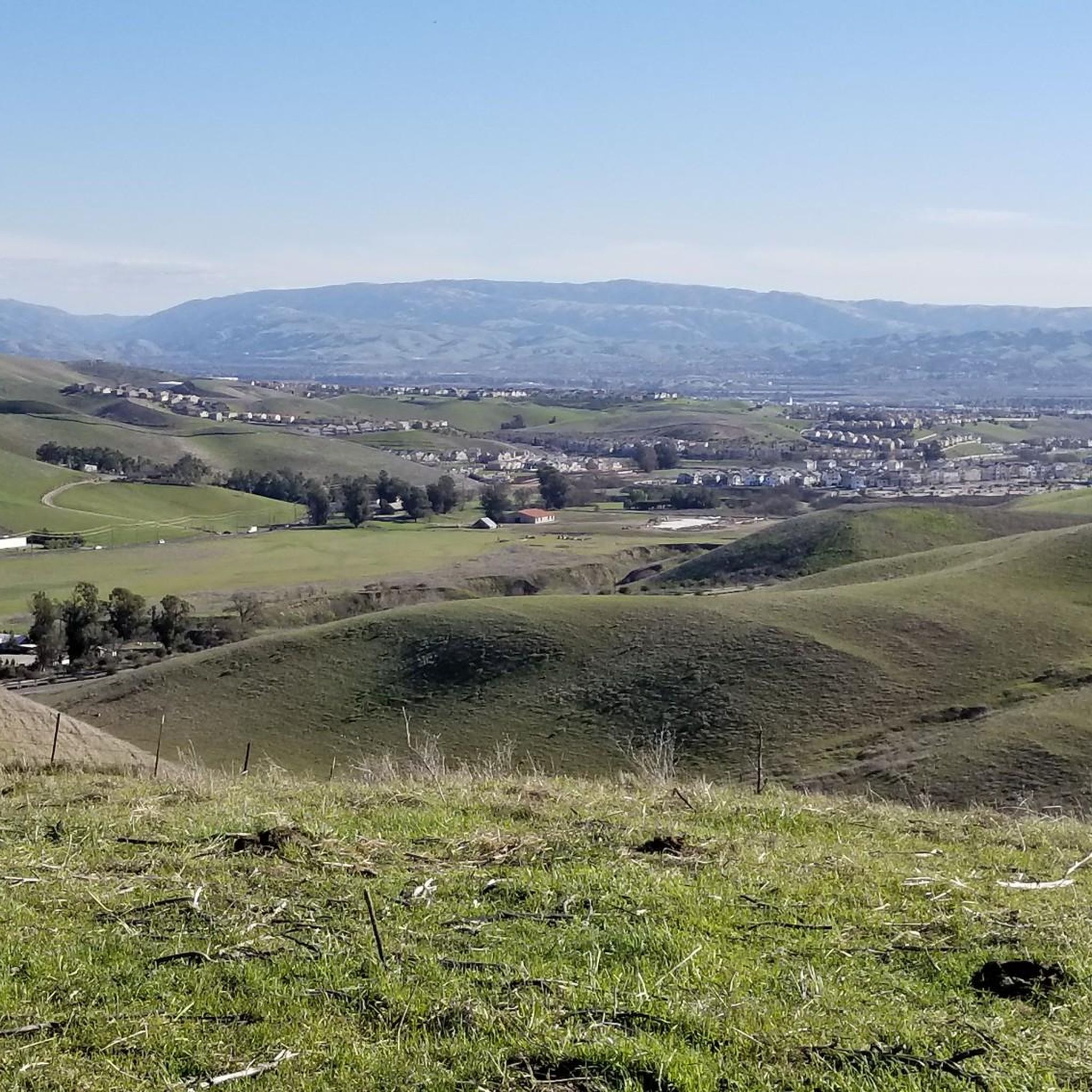
Mount Diablo is 3,849 feet in elevation and is visible from most of the San Francisco Bay Area.
0
0

This is a fantastic rocky outcrop just beneath Mount Diablo's main summit. It is worth scrambling to the top to get more of the incredible views this area offers.
0
0
Frequently Asked Questions
What natural features can I explore around Camino Tassajara?
The region is rich in natural beauty, featuring the Sycamore Valley Regional Open Space and Sycamore Creek, known for scenic views, wildlife, and seasonal wildflowers. A prominent landmark is Mount Diablo Summit, the highest peak in San Francisco's East Bay area, offering expansive views.
Are there good hiking trails in the Camino Tassajara area?
Yes, the area provides various hiking opportunities, including trails that traverse Dougherty Valley Ridge, Rolling Hills, Tassajara Ridge, and Hidden Valley Ridge. For easier options, you can explore routes like the Wall Point, Summit & Staircase Trails loop in Mount Diablo State Park, or the Rolling Hills Trail in Hidden Valley Open Space. You can find more details on easy hikes around Camino Tassajara.
What historical sites or landmarks can I visit near Camino Tassajara?
You can explore the area's history at Forest Home Farms Historic Park in San Ramon, which preserves agricultural history with old farm buildings and houses. The Tassajara School House, an 1889 schoolhouse, is also located off Camino Tassajara in Danville and offers picnic facilities.
Are there family-friendly attractions or activities around Camino Tassajara?
Yes, Rancho San Ramon Community Park offers a large playground with modern equipment, including a zip line and splash pad. Hidden Valley Park is another 4-acre park with a playground and open space. For walks, the Iron Horse Trail and the path over Coyote Creek bridge are paved and suitable for families.
What kind of cycling opportunities are available in the region?
The Iron Horse Trail is a 32-mile paved multi-use trail connecting Concord and Pleasanton, ideal for cycling. For more challenging rides, Morgan Territory Road offers a picturesque and winding route. Mountain biking enthusiasts can find trails like the Tassajara Ridge Trail loop in Hidden Valley Open Space. Discover more options on MTB Trails around Camino Tassajara.
Are there any accessible trails for people with limited mobility?
Yes, the Iron Horse Trail and the path over Coyote Creek bridge are paved and noted as wheelchair accessible, providing smooth surfaces for various users.
What are some challenging outdoor activities or trails available?
For those seeking a challenge, the Mount Diablo Summit offers demanding climbs and trails like the Summit Trail. Longer and more challenging hikes can connect to Mount Diablo State Park and Morgan Territory Regional Preserve, such as the Old Finley Road or Highland Ridge Trail loops. You can also find difficult running routes like the Mount Diablo – Water spigot loop. Explore more on running trails around Camino Tassajara.
What is the best time of year to visit Camino Tassajara for outdoor activities?
The region's rolling hills and open spaces are beautiful year-round. Spring brings seasonal wildflowers, while fall offers pleasant temperatures for hiking. Summer is great for activities in parks with splash pads. For specific trail conditions, it's always best to check local weather forecasts.
Are there opportunities for horseback riding in the area?
Yes, Camino Tassajara is known for its 'horse country' ambiance and is home to several equestrian facilities. La Jolla Equestrian Center and Yarra Yarra Equestrian Center are examples of places offering horseback riding and training.
What do visitors particularly enjoy about the attractions around Camino Tassajara?
Visitors appreciate the stunning panoramic views from Mount Diablo Summit, often extending to San Francisco and the Pacific Ocean. The multi-use Iron Horse Trail is valued for its safety and connectivity. The community also enjoys the well-maintained parks and the blend of natural beauty with recreational opportunities.
Where can I find unique cultural experiences near Camino Tassajara?
The Blackhawk Museum, located nearby in Danville, offers diverse galleries including the Spirit of the Old West, Art of Africa, and The World of Nature, providing a rich cultural experience beyond outdoor activities.
Are there any specific viewpoints I should seek out?
The Mount Diablo Summit is renowned for offering the best views in the Bay Area, with sights of San Francisco, the Santa Cruz Mountains, and on clear days, even the snow-capped Sierra Nevadas. The Summit Trail also provides access to an observation deck with excellent vistas.
Most popular attractions around Camino Tassajara

Get inspired with the komoot mobile app


Explore more
Still not found the Highlight you’re looking for? See guides of the top attractions in other regions:
