The best cycling routes around Camino Tassajara
4.6
(44)
799
riders
44
rides
Touring cycling routes around Camino Tassajara traverse a landscape characterized by rolling hills and expansive open spaces in Contra Costa County, California. The area features Sycamore Valley Regional Open Space and Tassajara Creek, providing natural waterways and scenic views. Mount Diablo, the highest peak in the East Bay, offers a dramatic backdrop and challenging ascents for some routes. The region's terrain includes both paved multi-use trails and roads with varying elevation profiles.
Best touring cycling routes around Camino Tassajara
- The…
Last updated: July 8, 2026
10
riders
26.4km
01:47
340m
350m
Moderate bike ride. Good fitness required. Mostly paved surfaces. Suitable for all skill levels.
11
riders
Hard bike ride. Very good fitness required. Mostly paved surfaces. Suitable for all skill levels.

Sign up for free
5
riders
Easy bike ride. Great for any fitness level. Mostly paved surfaces. Suitable for all skill levels.
7
riders
Easy bike ride. Great for any fitness level. Mostly paved surfaces. Suitable for all skill levels.
4
riders
Moderate bike ride. Good fitness required. Mostly paved surfaces. Suitable for all skill levels.
Get access to more routes and recommendations from other explorers.
Sign up for free
Already have an account?
Our route recommendations are based on thousands of hikes, rides, and runs completed by other people on komoot.
Start today with a free account
Your next adventure awaits.
Login or Signup
Tips from the Community

The Museum of the San Ramon Valley was established in 1985 and sits in a restored 1891 Southern Pacific Railroad Depot with the Victorian-era “Combination Station No. 22” listed on the National Register of Historic Places. The Official Visitor Information Center offers maps, guides, and knowledgeable staff, along with free parking and restrooms located in the caboose.
1
0

This rest area is a popular stop and gathering place, with plenty of benches and a few shaded spots. It features a water fountain, bike racks, and several restaurants within easy walking distance.
1
0
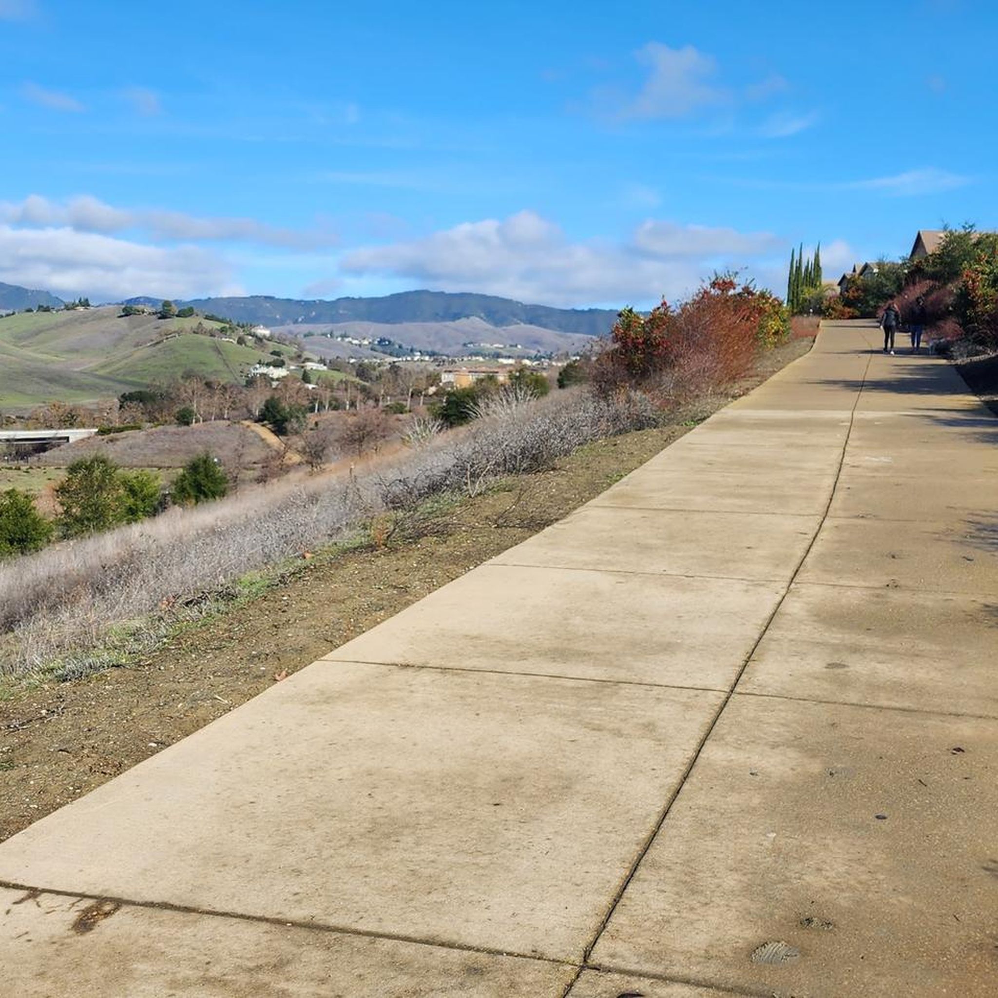
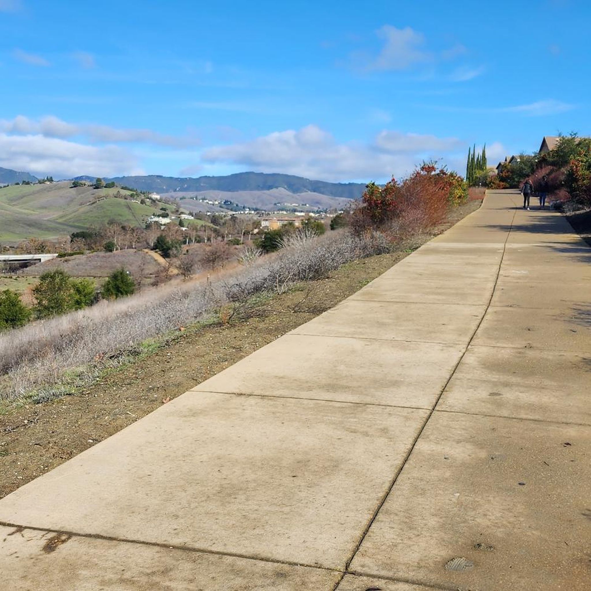
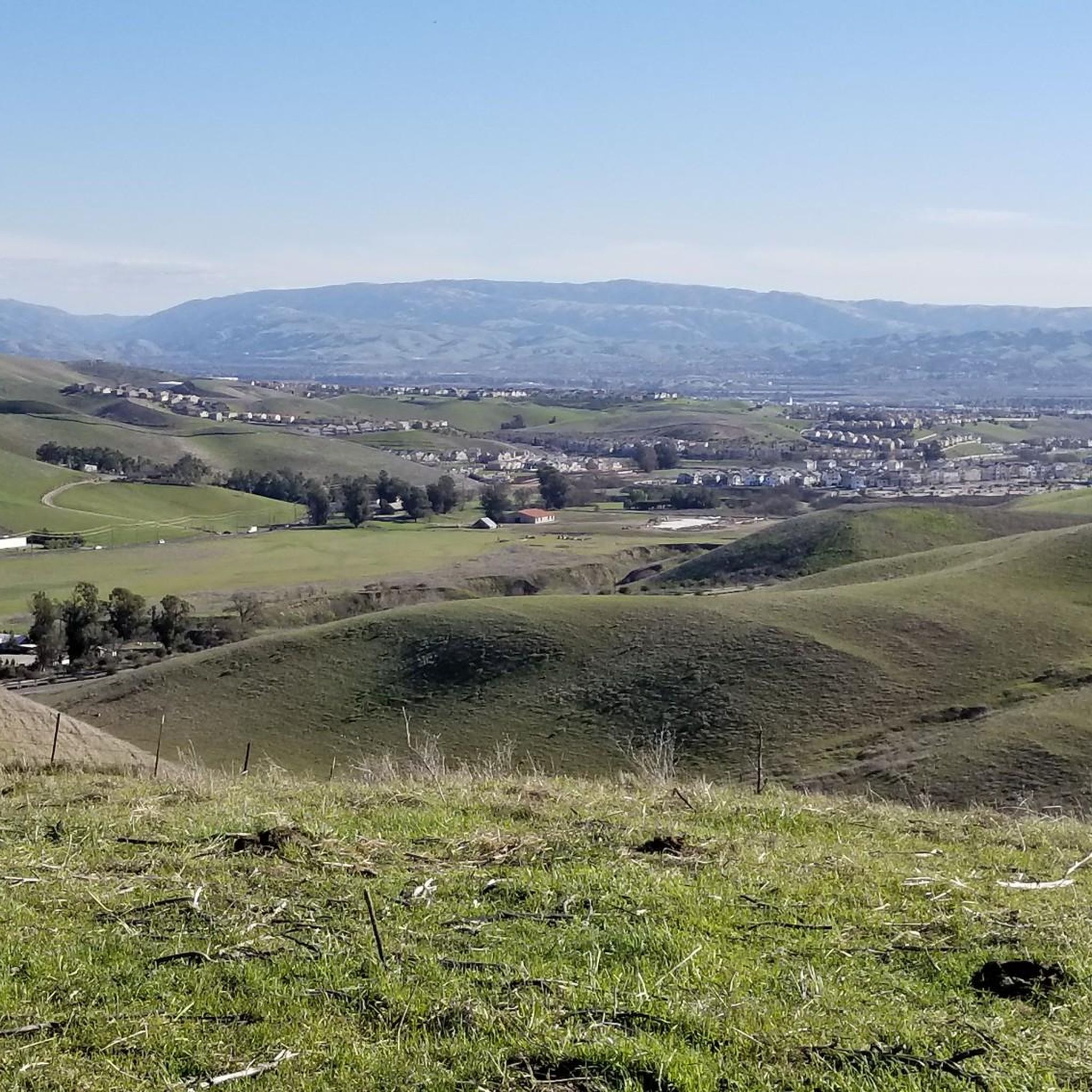
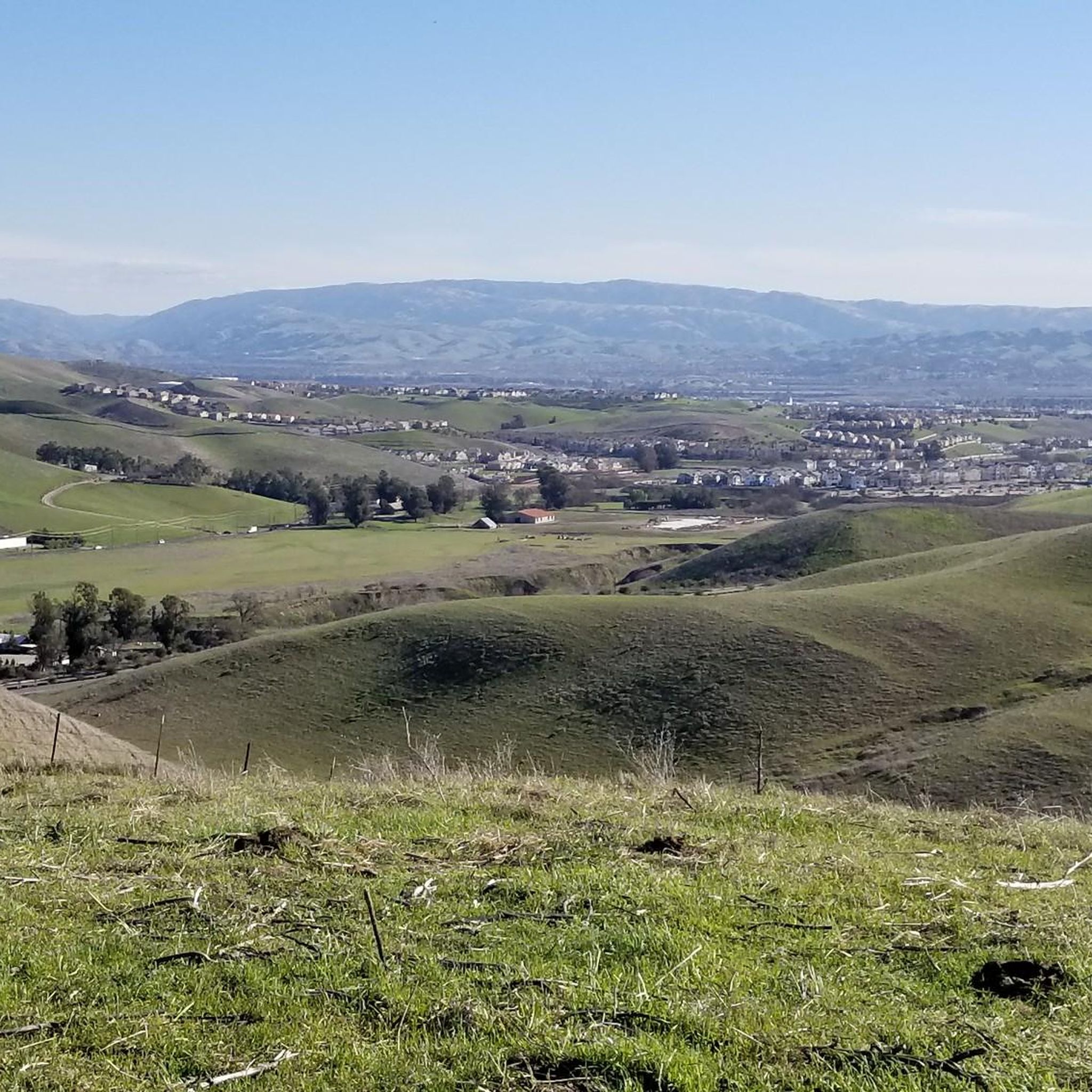
This multi-use trail skirts around the southern portion of San Ramon and is popular for walkers, runners, and cyclists, with views including Camp Parks, the valley's rolling hills and various wildlife, including jackrabbits. The trail is a mix of paved and singletrack trails, with some moderate ups and downs in elevation. You can access the trail from several points within the Stonehenge Way and Holborn Way neighborhoods.
0
0
Strategic trail junction of these two excellent, flat, paved, car-free trail systems.
0
0
This sports bar is conveniently located near the trails, making it a well-liked destination for those looking to unwind and savor some delicious local dishes after a tiring ride. You can expect to find typical American pub food and a variety of screens for watching sports matches. The outdoor deck is a great place to hang out, and the happy hour specials make the beer prices easier on your wallet.
0
0

Wide well paved flat biking trail following a former rail line along the San Ramon Valley from Pleasanton via Dublin and Walnut Creek to Concord.
0
0

Danville is situated in the heart of the San Ramon Valley and has been voted "the safest town in California" for five consecutive years. It offers trendy restaurants, boutiques, and a thriving art scene.
0
0
This short section of paved trail runs along the San Ramon Creek and makes for a nice way to avoid traffic on Sycamore Valley Road.
0
0
Frequently Asked Questions
How many touring cycling routes are available around Camino Tassajara?
Based on komoot data, there are over 50 touring cycling routes around Camino Tassajara. These routes cater to various skill levels, from easy rides on paved surfaces to more challenging routes with significant elevation gains, some of which may include unpaved segments.
What kind of terrain can I expect on touring cycling routes around Camino Tassajara?
The region is characterized by picturesque rolling hills and expansive open spaces, offering stunning views. You'll find a mix of paved multi-use trails, such as sections of the Iron Horse Trail, and roads with varying elevation profiles. Some routes, especially those heading towards Mount Diablo, involve significant climbs.
Are there any easy touring cycling routes suitable for beginners or families?
Yes, there are several easy routes. For instance, the Museum of the San Ramon Valley – Iron Horse Trail loop from Camino Tassajara is an easy 14.8-mile trail that utilizes the multi-use Iron Horse Trail, making it suitable for a more relaxed ride. Another easy option is the Bike loop from Dougherty Valley High School.
Where can I find challenging touring cycling routes with significant climbs?
For a more challenging experience, consider routes that venture towards Mount Diablo. The Mount Diablo Scenic Boulevard – Curry Point loop from Tassajara Ranch Drive & Blackstone Drive is a difficult 58.3-mile path featuring substantial elevation gain, leading towards the peak and offering expansive vistas.
What are some notable landmarks or viewpoints I can see while cycling?
The area offers several points of interest. You can cycle past the Iron Horse Trail, a significant multi-use path. For panoramic views, routes leading to Mount Diablo Summit provide incredible vistas that can extend to San Francisco on a clear day. Other viewpoints include Devil's Pulpit and the Livermore Valley Overlook.
Are there any circular touring cycling routes in the Camino Tassajara area?
Yes, many of the touring cycling routes around Camino Tassajara are designed as loops. Examples include the popular Rolling Hills Trail loop from Dougherty Valley High School, which offers scenic views, and the Museum of the San Ramon Valley – Iron Horse Trail loop from Camino Tassajara.
What do other touring cyclists enjoy most about cycling in Camino Tassajara?
The touring cycling routes in Camino Tassajara are highly rated by the komoot community, with an average score of 4.6 stars. Cyclists often praise the scenic rolling hills, the expansive open spaces, and the variety of routes that cater to different ability levels, from easy paved paths to challenging climbs with rewarding views.
Are there any routes that incorporate the Iron Horse Trail?
Absolutely. The Iron Horse Trail is a significant multi-use path in the region. Routes like the Museum of the San Ramon Valley – Iron Horse Trail loop from Camino Tassajara and the Museum of the San Ramon Valley – Iron Horse Trail loop from Crow Canyon Road & Dougherty Road integrate sections of this popular trail, providing a safe route away from traffic.
What natural features can I expect to see along the routes?
The region is rich in natural beauty, defined by its rolling golden hills and expansive open spaces, often dotted with grazing cattle. You'll encounter natural waterways like Sycamore Creek and Tassajara Creek. Mount Diablo serves as a dramatic backdrop, and areas like Sycamore Valley Regional Open Space offer a sense of tranquility.
Is there parking available near the touring cycling routes?
While specific parking locations are not detailed for every route, many routes start from accessible points like Dougherty Valley High School or Tassajara Ranch Drive & Blackstone Drive, which typically have parking facilities nearby. It's advisable to check the starting point of your chosen route for specific parking information.
What is the best time of year to go touring cycling in Camino Tassajara?
The region generally offers pleasant cycling conditions for much of the year. Spring and fall often provide mild temperatures and clear skies, ideal for enjoying the rolling hills and open spaces. Summers can be warm, so early morning rides are recommended, while winters are typically mild but can bring occasional rain.
Most popular attractions around Camino Tassajara

Get inspired with the komoot mobile app


Explore more
Browse the best Cycling routes in other regions.
