The best road cycling routes around Cambrian Park
4.5
(190)
5,850
riders
203
rides
Road cycling around Cambrian Park offers a diverse range of terrain, from reservoir-side paths to significant mountain road climbs. The region features varied landscapes, including areas around Guadalupe Reservoir and Vasona Lake Dam, alongside routes ascending Mount Umunhum. These popular road cycling routes in Cambrian Park provide options for different skill levels, with notable Cambrian Park road cycling elevation gain on some trails.
Best road cycling routes around Cambrian Park
- The most popular road cycling route is Guadalupe Reservoir –…
Last updated: August 25, 2026
4.8
(19)
175
riders
51.4km
02:50
880m
880m
Moderate road ride. Good fitness required. Mostly well-paved surfaces and easy to ride.
4.5
(2)
135
riders
41.5km
02:24
690m
690m
Moderate road ride. Good fitness required. Mostly well-paved surfaces and easy to ride.

Sign up for free
118
riders
104km
04:48
1,090m
1,090m
Hard road ride. Very good fitness required. Some segments of this route may be unpaved and difficult to ride.
5.0
(2)
93
riders
40.9km
02:43
1,090m
1,090m
Hard road ride. Very good fitness required. Mostly well-paved surfaces and easy to ride.
5.0
(2)
84
riders
47.4km
02:33
860m
860m
Moderate road ride. Good fitness required. Mostly well-paved surfaces and easy to ride.
Get access to more routes and recommendations from other explorers.
Sign up for free
Already have an account?
Our route recommendations are based on thousands of hikes, rides, and runs completed by other people on komoot.
Start today with a free account
Your next adventure awaits.
Login or Signup
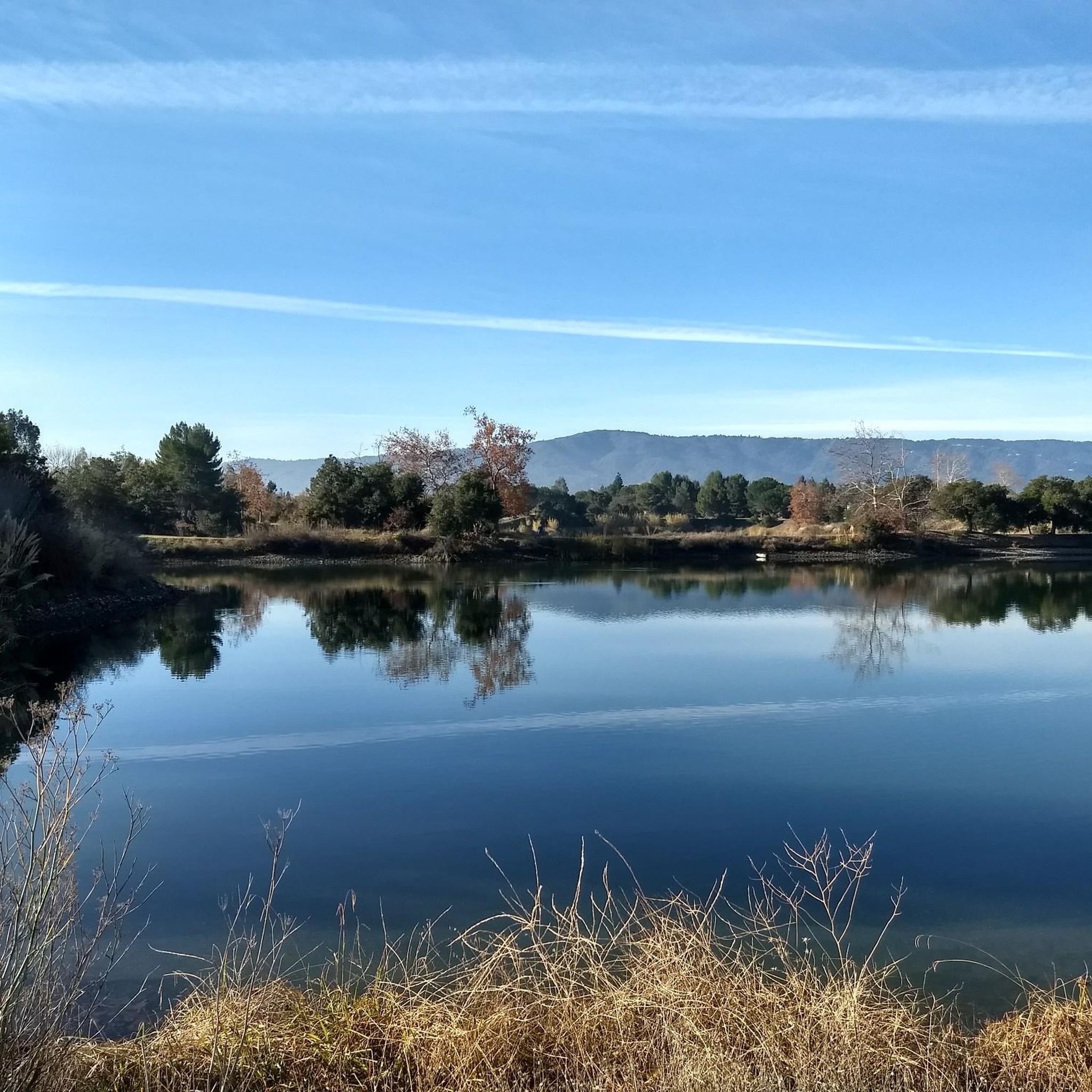
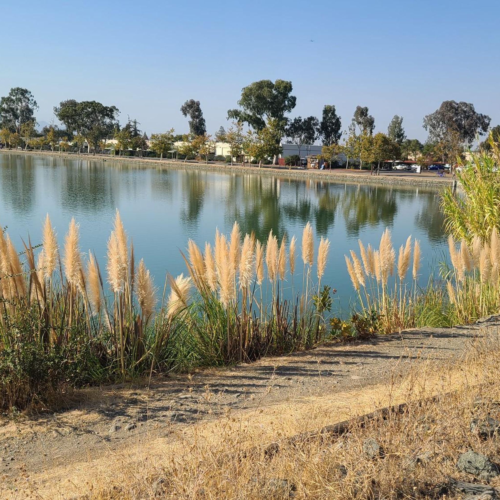

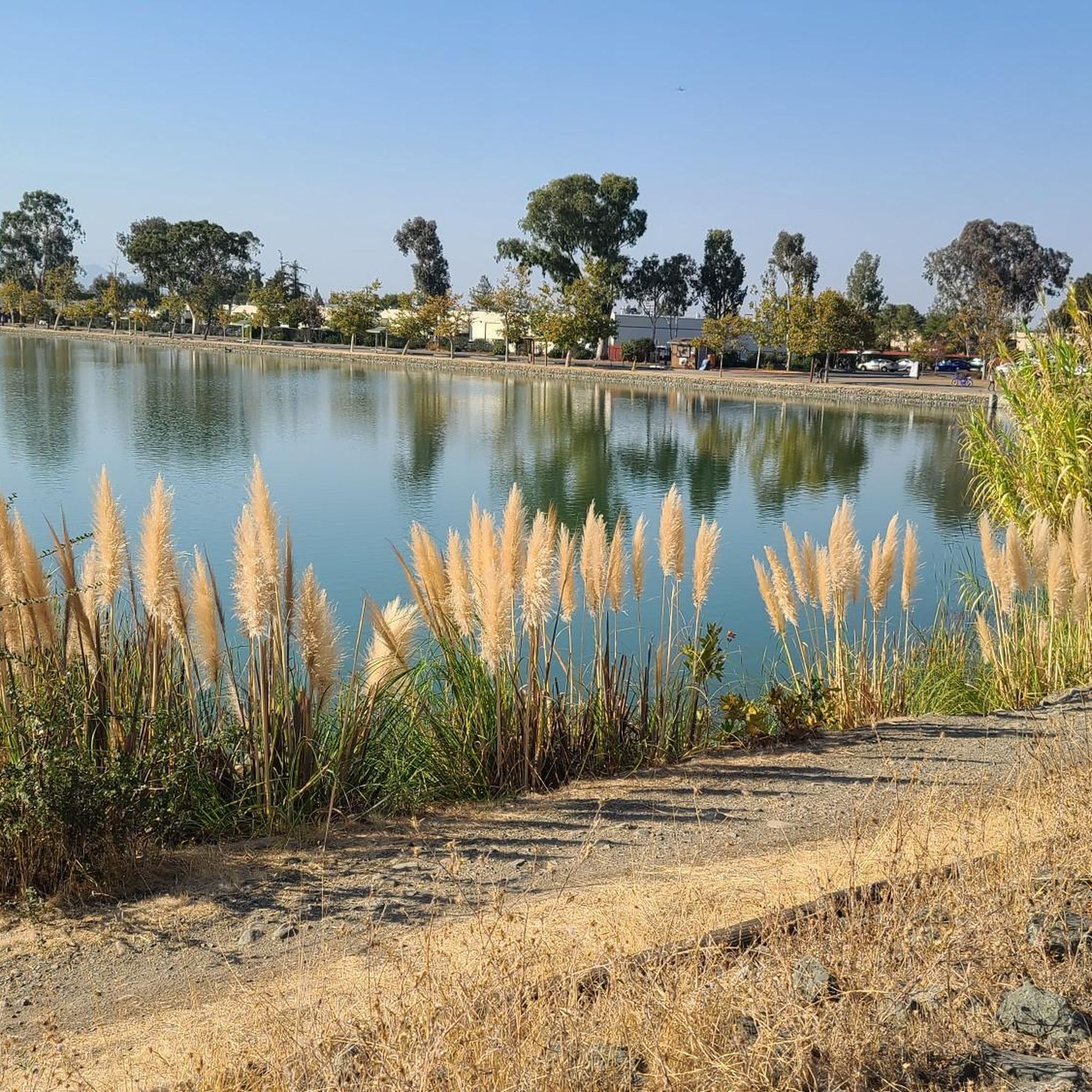
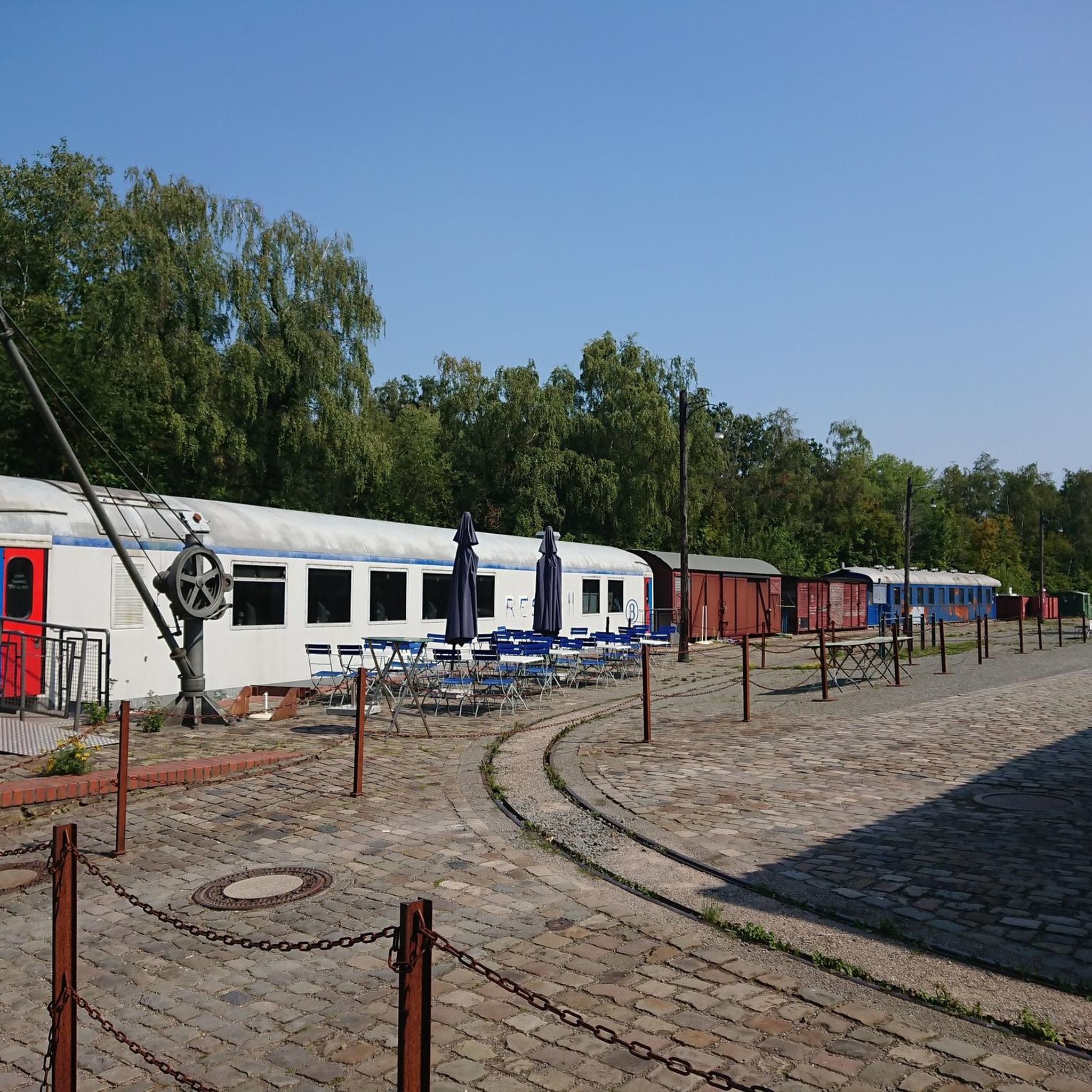
Tips from the Community

If you make the summit a fantastic view awaits. Be aware the road goes down then up to the road about then up again to the summit!…
0
0
Great bar. Friendly helpful staff/owner simple ordering system. Great place to watch the world go by with a beer 🍻
0
0

Still one of the highest points in the Santa Cruz Mountains, even though the military graded and flattened the actual summit to create an Air Force base. The summit was cleaned of hazardous material in 2009, then carefully restored after a lot of community input. It's a lovely place to visit now!
0
0
This mostly paved bike trail alongside Alpine Road is great for bike commuting — just don't run over any slower trail users! The trail runs all the way from Portola Valley to Stanford, offering some nice shade along the way. The brief moments of unpaved trail are near the Portola Valley end.
0
0

Didn’t OLR used to turn into Dirt before reaching Skyline? Is it all pavement now?? Scott
0
0


The Palo Alto-Los Altos Bike and Pedestrian Path, also known as the Hetch Hetchy Trail, is a well-maintained multi-use route that connects Los Altos Avenue to Arastradero Road. It’s popular for biking, running, and hiking, offering scenic views and access to parks like Terman Park, Bol Park, and Barron Park Donkeys. The trail includes a mini library and is part of Henry M. Gunn High School's recommended walking routes.
1
0
Guadalupe Creek flows eastward from San Bruno Mountain in San Mateo County, passing through San Bruno Mountain State and County Park and Brisbane before reaching Brisbane Lagoon, a remnant of San Francisco Bay. The area is home to endangered butterflies and the San Francisco garter snake. The creek can be seen from Hicks Road, and it winds along the side of the road.
1
0
Frequently Asked Questions
How many road cycling routes are available in Cambrian Park?
There are over 180 road cycling routes available in Cambrian Park, offering a wide variety of options for different skill levels and preferences.
What kind of terrain can I expect on road cycling routes in Cambrian Park?
Road cycling in Cambrian Park features diverse terrain, ranging from flat, scenic paths around reservoirs like Vasona Lake and Guadalupe Reservoir, to challenging mountain road climbs with significant elevation gain, particularly on routes ascending Mount Umunhum.
Are there road cycling routes suitable for beginners in Cambrian Park?
Yes, Cambrian Park offers many routes suitable for beginners. Approximately 70 routes are rated as easy, providing gentler gradients and shorter distances. A good example is the Vasona Lake Dam – Camden Ponds loop from Cambrian Park, which offers a scenic ride with minimal elevation changes.
What are some challenging road cycling routes for experienced riders?
For experienced riders seeking a challenge, Cambrian Park has over 30 difficult routes. The Guadalupe Reservoir – Mount Umunhum Road loop from Winchester is a popular choice, featuring significant elevation gain as it climbs Mount Umunhum Road. Another demanding option is the Camden Ponds – Old Santa Cruz Highway loop from Winchester, which covers over 90 km with substantial climbing.
Are there any scenic viewpoints or natural features along the road cycling routes?
Absolutely. Many routes offer stunning views and pass by natural features. You can enjoy reservoir vistas, such as at Guadalupe Reservoir Vista, or experience mountain scenery. Some routes also provide panoramic views of Silicon Valley from points like View of Silicon Valley from St. Joseph's Hill.
Can I find long-distance road cycling routes in Cambrian Park?
Yes, Cambrian Park features several long-distance road cycling routes. For example, the Camden Ponds – Old Santa Cruz Highway loop from Winchester is a difficult route spanning over 91 kilometers, ideal for those looking for an extended ride.
What do other cyclists say about road cycling in Cambrian Park?
The road cycling routes in Cambrian Park are highly rated by the komoot community, with an average score of 4.5 stars from over 190 reviews. Cyclists often praise the diverse terrain, from serene reservoir-side paths to challenging mountain climbs, and the well-maintained roads.
Are there loop routes available for road cycling in Cambrian Park?
Many of the road cycling routes in Cambrian Park are designed as loops, allowing you to start and finish at the same point. Examples include the Guadalupe Reservoir – Mount Umunhum Road loop from Winchester and the Mount Umunhum Road – Blossom Hill - Shannon Road loop from Winchester.
What is the best time of year for road cycling in Cambrian Park?
Cambrian Park generally offers good road cycling conditions year-round due to its mild climate. Spring and fall provide particularly pleasant temperatures, while summer can be warm, especially on exposed climbs. Winter cycling is often possible, though some higher elevation roads might experience cooler temperatures.
Are there family-friendly road cycling options in Cambrian Park?
For families looking for a more relaxed ride, the easier routes with minimal elevation gain are ideal. The paths around Vasona Lake and Camden Ponds, such as the Vasona Lake Dam – Camden Ponds loop from Cambrian Park, offer relatively flat and scenic options suitable for a family outing.
Where can I find parking for road cycling routes in Cambrian Park?
Many road cycling routes in Cambrian Park start from areas with public parking, particularly near parks or trailheads. It's advisable to check the specific route details on komoot for recommended starting points and parking availability, especially for popular areas like Vasona Lake County Park or near Winchester.
Are there any cafes or places to stop for refreshments along the routes?
While specific cafes are not directly on all routes, many routes pass through or near towns and commercial areas where you can find cafes, restaurants, and convenience stores for refreshments. Planning your stops in advance, especially on longer or more remote routes, is recommended.
How accessible are the road cycling routes in Cambrian Park by public transport?
Accessibility by public transport varies depending on the specific starting point of the route. Some routes may be reachable via local bus services, particularly those starting within or close to urban centers. For routes beginning in more rural or mountainous areas, driving to the trailhead is often the most convenient option.
Most popular attractions around Cambrian Park

Get inspired with the komoot mobile app


Explore more
Browse the best Road cycling routes in other regions.
