The best walks and hikes around Cambrian Park
4.5
(96)
2,045
hikers
104
hikes
Hikes near Cambrian Park San Jose provide access to a variety of landscapes, from creekside paths to trails in nearby county parks and open space preserves. The area is characterized by rolling hills, oak groves, and extensive trail systems that connect several local parks. The terrain offers a mix of relatively flat routes along waterways and more challenging ascents into the surrounding hills with open valley views.
Best hiking trails around Cambrian Park
- The most popular hiking route is Valley…
Last updated: August 25, 2026
3
hikers
5.71km
01:28
30m
20m
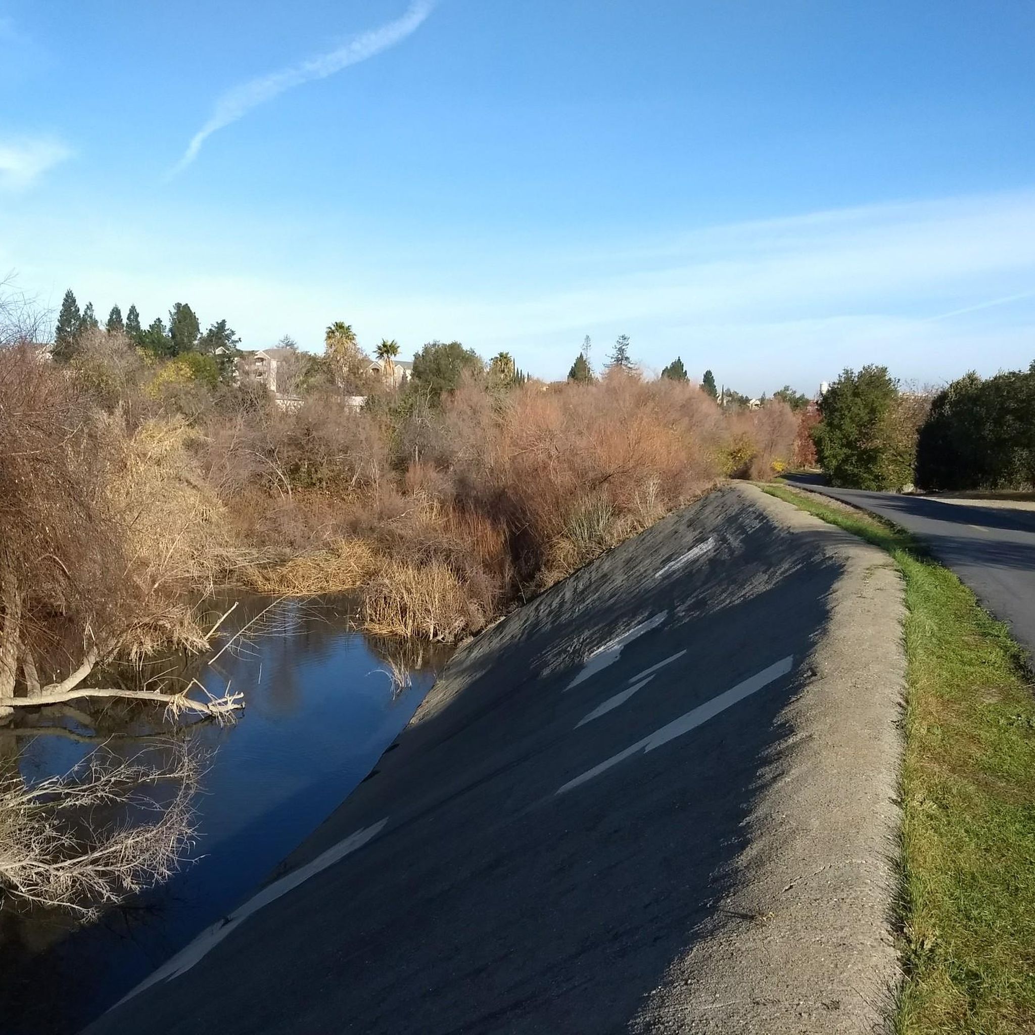
Enjoy an easy 3.5-mile hike along Los Gatos Creek from Camden Ponds to Vasona Reservoir, featuring scenic water views and wildlife.
3
hikers
11.4km
03:00
150m
20m
Hike the moderate 7.1-mile Los Gatos Creek Trail, gaining 503 feet in elevation while enjoying Vasona Lake and Lexington Reservoir views.

Sign up for free
4.0
(4)
36
hikers
5.98km
01:50
210m
200m
Hike the moderate 3.7-mile Valley View, Sky Lane, and Santa Rosa Trail Loop for South Bay views and diverse terrain.
5.0
(1)
22
hikers
2.79km
00:52
110m
110m
Easy hike. Great for any fitness level. Easily-accessible paths. Suitable for all skill levels.
19
hikers
Easy hike. Great for any fitness level. Easily-accessible paths. Suitable for all skill levels.
Get access to more routes and recommendations from other explorers.
Sign up for free
Already have an account?
Our route recommendations are based on thousands of hikes, rides, and runs completed by other people on komoot.
Start today with a free account
Your next adventure awaits.
Login or Signup

Tips from the Community

This 152-acre park connects right to the Los Gatos Creek Parkway. The park is open from 8am to sunset, and if you ride your bike you don't have to pay the vehicle entrance fee (currently $6).
1
1

The Los Gatos Creek Trail offers a safe paved trail for walkers, joggers, cyclists, skaters, and nature lovers. Spanning multiple jurisdictions, it runs from San Jose through Campbell and Los Gatos, managed by agencies from these areas. The Campbell section has some nice shady spots, a gazebo, and an exercise circuit near Campbell Park; the whole trail spans about 10 miles.
0
0
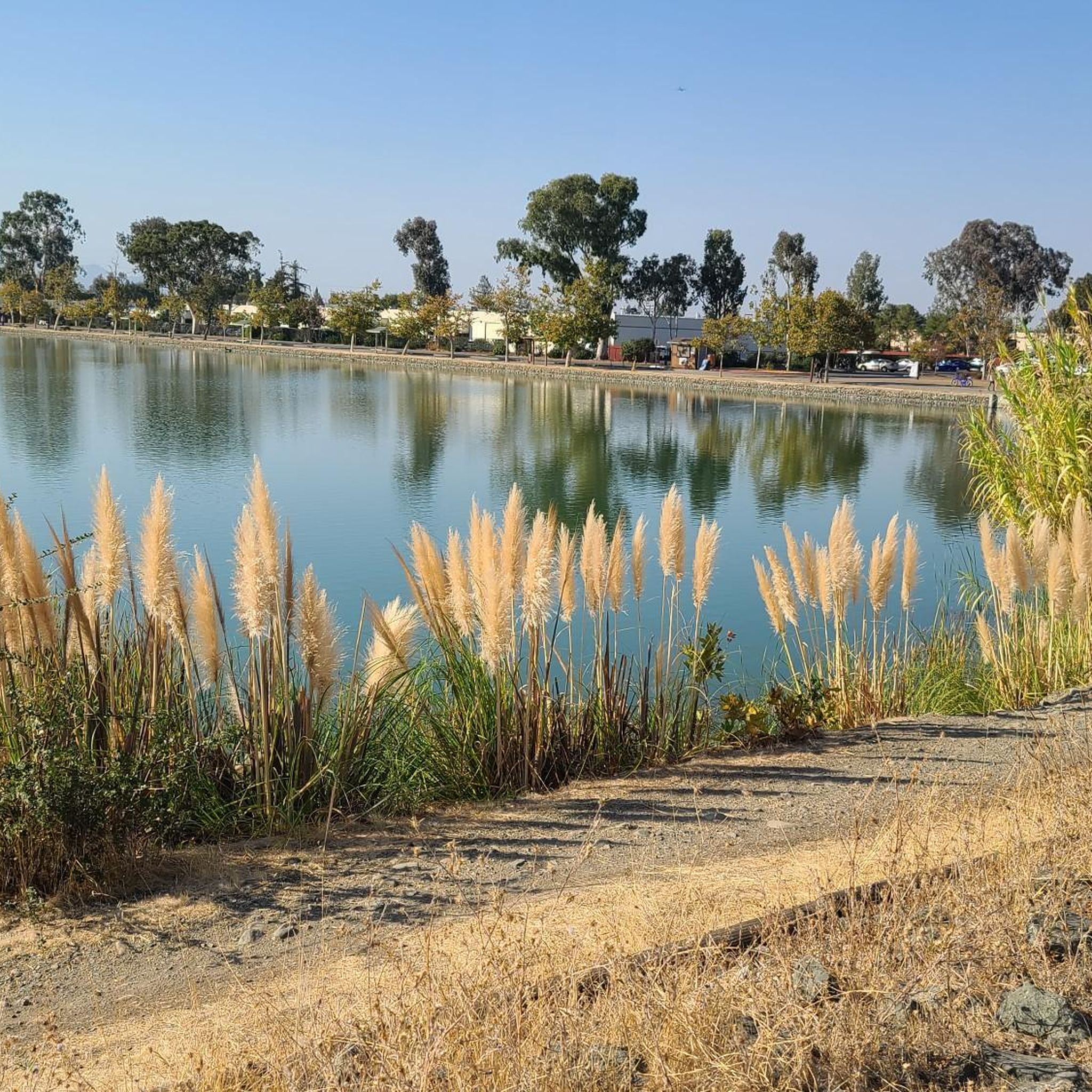
Vasona Reservoir, located on Los Gatos Creek, is surrounded by the 152-acre Vasona Lake County Park. Built in 1935 as one of six original reservoirs approved by voters in 1934. Vasona Reservoir holds 495 acre-feet of water and spans 57 acres. The park offers picnicking, catch-and-release fishing, and human-powered boating. Swimming is not permitted. It's a great spot for photography and sunrises.
1
0
Forbes Mill Museum, housed in a two-story building of the original 1854 flour mill, offers a glimpse into Los Gatos' history. Built by James Alexander Forbes as California's first commercial flour mill, over the years, it served various roles, including a power plant and a PG&E substation. Saved from demolition in 1982, the building now features historical exhibits as part of New Museum Los Gatos.
0
0

From the top of the dam you get splendid views out across Lexington Reservoir. To the north you overlook the winding end of the Los Gatos Creek Trail, which connects to the Jones Trail across from the restroom just up the road. The dam itself was constructed in 1952 and stands at nearly 200 feet tall.
0
0
The Los Gatos Creek Trail offers a safe paved trail for walkers, joggers, cyclists, skaters, and nature lovers. Spanning multiple jurisdictions, it runs from San Jose through Campbell and Los Gatos, managed by agencies from these areas. The Campbell section has some nice shady spots, a gazebo, and an exercise circuit near Campbell Park; the whole trail spans about 10 miles.
0
0

This grove is home to one of the Bay Area's most impressive public displays of ornamental eucalyptus species. Planted in 1964 by a local enthusiast, these majestic trees are now over 40 years old and provide a stunning backdrop for capturing photos.
0
0

Camden Ponds consist of three man-made ponds designed to serve as reservoirs for water management. The ponds, along with the surrounding wetlands, make it an ideal location for birding enthusiasts.
0
0
Frequently Asked Questions
Are there many hiking trails to choose from around Cambrian Park?
Yes, there are over 75 routes to explore in the area. These range from easy creekside walks to more challenging ascents in the nearby hills, offering a wide variety of options for all skill levels.
What do other hikers think of the trails near Cambrian Park?
The area is highly rated by the komoot community, with an average score of 4.5 stars. Reviewers often praise the mix of accessible urban trails and the rugged, scenic paths found in the nearby county parks and open space preserves.
Are there any easy, family-friendly hikes in the area?
Absolutely. The region is great for families, with 41 easy-rated trails. A good option is the Santa Rosa Openspace loop from Vasona Junction. It's a relatively short walk that still provides a sense of being out in nature without being too strenuous for younger children.
Can I bring my dog on the trails?
Many parks and trails near Cambrian Park are dog-friendly, but rules can vary. For example, Almaden Quicksilver County Park and Santa Teresa County Park generally welcome leashed dogs on their extensive trail networks. Always check the specific park's regulations before you go, as some areas may have restrictions to protect wildlife.
Where can I find hikes with the best views?
For expansive valley views, local hikers often head to Sierra Vista Open Space Preserve or Alum Rock Park. Both are highly regarded for their trails that climb into the hills, rewarding you with panoramic vistas of San Jose and the surrounding landscape, especially around sunrise or sunset.
Are there any circular or loop hikes available?
Yes, loop trails are very common. A great moderate option that follows the Los Gatos Creek is the Vasona Lake – Camden Ponds loop from Vasona Junction. This route allows you to enjoy the scenery without having to backtrack.
What are some popular parks for hiking near Cambrian Park?
Several large parks with extensive trail systems are just a short drive away. Popular choices include:
- Almaden Quicksilver County Park: Known for its mining history and over 37 miles of trails through oak forests and open meadows.
- Santa Teresa County Park: Offers a quieter escape with rolling grasslands and challenging trails for both hikers and mountain bikers.
- Alum Rock Park: A local favorite featuring rugged canyon scenery and unique geological formations.
What is the best time of year to hike around San Jose?
Spring and fall offer the most pleasant hiking conditions, with mild temperatures and beautiful scenery. Spring is particularly special in parks like Almaden Quicksilver, when the hills are green and wildflowers are in full bloom. Summers can be very hot, so if you hike then, it's best to go early in the morning and bring plenty of water.
Are there any trails with waterfalls?
While the immediate area around Cambrian Park is not known for significant waterfalls, some creeks and streams in parks like Alum Rock Park can have flowing water after heavy winter and spring rains. However, large, year-round waterfalls are not a common feature of the local trails.
What should I pack for a day hike in this area?
It's wise to pack layered clothing, as weather can change. Essentials include plenty of water, especially on hot days, sunscreen, and a hat, as many trails have exposed sections. Sturdy walking shoes are a must. For longer routes in parks like Santa Teresa or Almaden Quicksilver, a map or a fully charged phone with the komoot app is highly recommended.
How difficult are the hikes in the area?
The difficulty varies widely. You can find everything from flat, paved paths like the Los Gatos Creek Trail to strenuous climbs. There are 6 designated difficult hikes for those seeking a challenge, but the majority of routes are rated easy or moderate, making the region accessible to most hikers.
Where can I find information about parking for the trails?
Most of the larger parks like Almaden Quicksilver County Park and Santa Teresa County Park have designated parking lots, though some may charge a fee. For popular spots like Sierra Vista Open Space Preserve, it's recommended to arrive early on weekends as parking can fill up quickly, especially for sunset hikes.
Most popular attractions around Cambrian Park

Get inspired with the komoot mobile app


Explore more
Browse the best Hikes in other regions.
