The best road cycling routes around Wangermeer
4.7
(145)
2,116
riders
133
rides
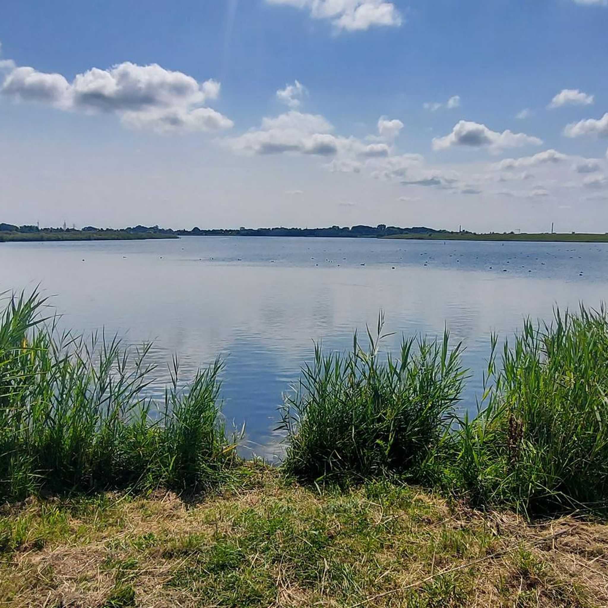
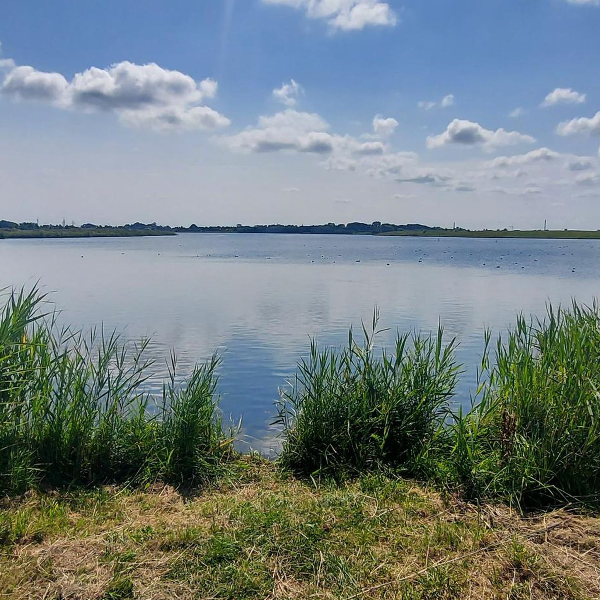
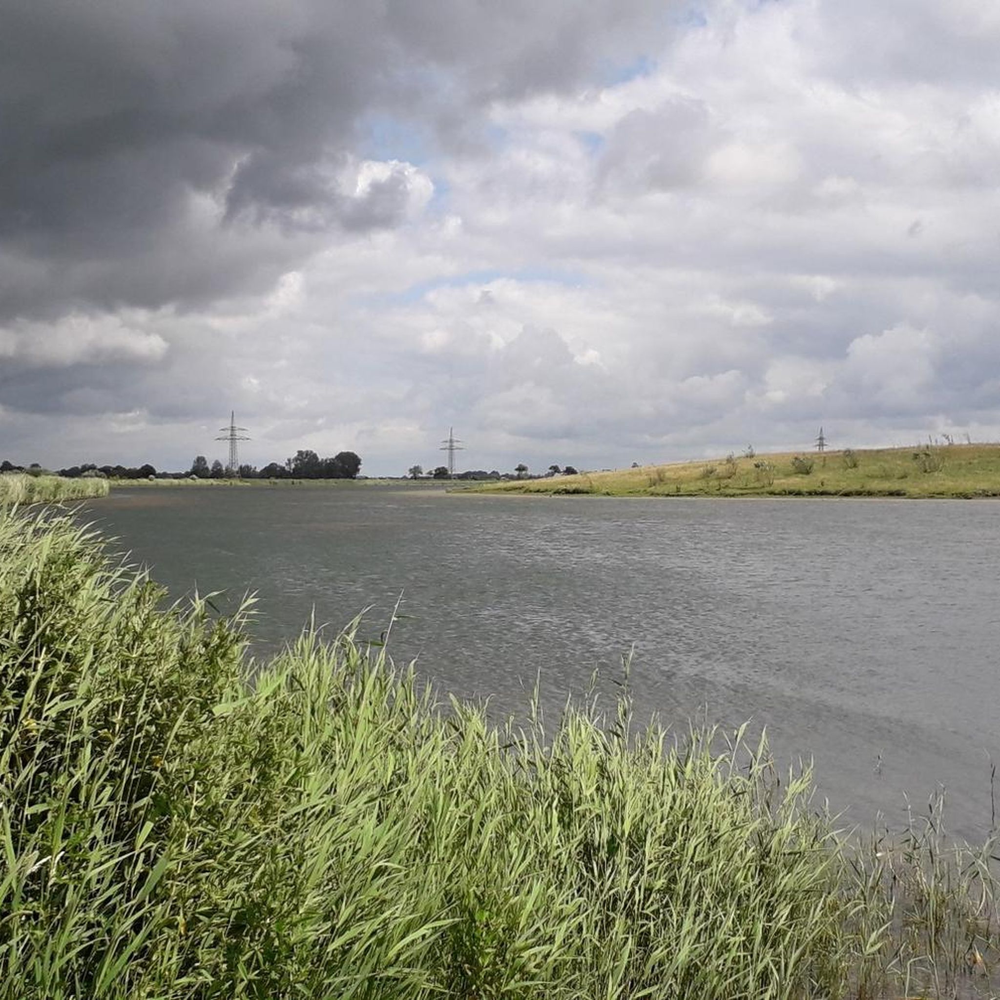
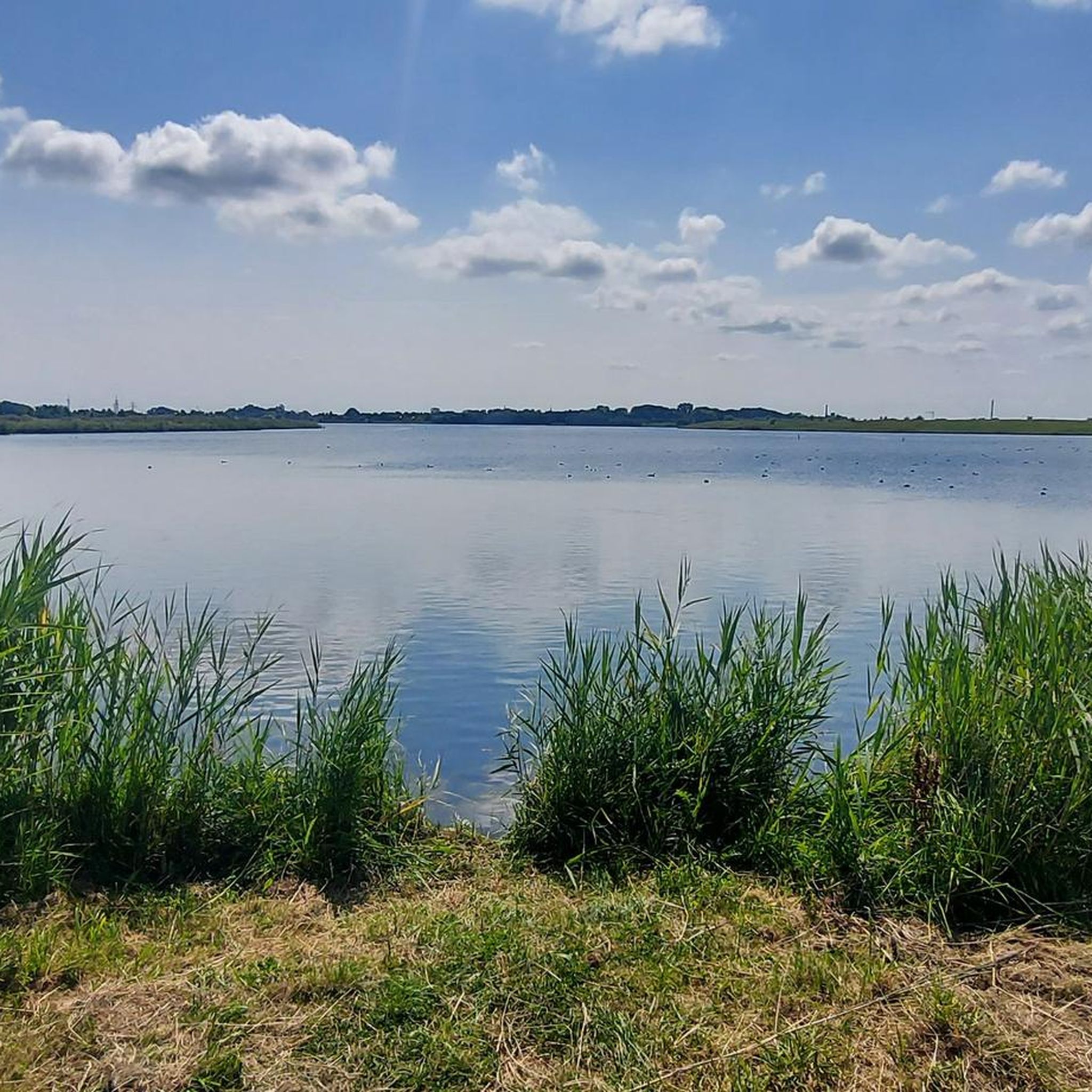
Road cycling around Wangermeer features flat terrain, making it suitable for riders of all fitness levels. The region is characterized by the 100-hectare artificial freshwater lake, which provides scenic views and a tranquil environment. Cyclists can expect mostly paved surfaces, with routes often passing near the North Sea, contributing to a unique coastal landscape. A notable feature is the 325-meter-long promenade bridge connecting to an island in the middle of the lake.
Best road cycling routes around Wangermeer
- The most…
Last updated: August 24, 2026
5.0
(6)
51
riders
Moderate road ride. Good fitness required. Mostly well-paved surfaces and easy to ride.
5.0
(1)
22
riders
27.5km
01:17
30m
30m
Moderate road ride. Great for any fitness level. Some segments of this route may be unpaved and difficult to ride.

Sign up for free
22
riders
Moderate road ride. Great for any fitness level. Some segments of this route may be unpaved and difficult to ride.
17
riders
Easy road ride. Great for any fitness level. Mostly well-paved surfaces and easy to ride.
5.0
(3)
8
riders
Easy road ride. Great for any fitness level. Mostly well-paved surfaces and easy to ride.
Get access to more routes and recommendations from other explorers.
Sign up for free
Already have an account?
Our route recommendations are based on thousands of hikes, rides, and runs completed by other people on komoot.
Start today with a free account
Your next adventure awaits.
Login or Signup
Tips from the Community

It's not a true lighthouse. It's a radar and radio tower for shipping.
0
0


You pass this place on your way along the Wadden Sea. This beautiful sculpture
6
1

Here you can really let it fly. Very nice
0
0
With a tailwind, it's a lot of fun; with a headwind, it's a great workout. But: always watch out for the sheep ;)
0
0
Here, you can fly among the sheep (if the wind is right). But you should always keep in mind that sheep also like to make unpredictable maneuvers :D So keep your eyes open and be foresighted.
0
0
Low-traffic connecting route to the railway line
0
0
Frequently Asked Questions
How many road cycling routes are available around Wangermeer?
There are over 130 road cycling routes around Wangermeer, offering a wide range of options for different skill levels. You'll find 48 easy routes, 89 moderate routes, and 1 more challenging option, ensuring there's something for everyone.
What is the typical terrain and elevation like for road cycling in the Wangermeer area?
The Wangermeer region is characterized by its predominantly flat terrain, making it ideal for road cycling. Routes generally have minimal elevation gain, with even longer rides like the View of the Jade Bight – View of Jade Bay loop from Hohenkirchen, which is over 62 km, featuring less than 80 meters of ascent. This flat landscape is perfect for riders of all fitness levels.
Are there any circular road cycling routes around Wangermeer?
Yes, many routes are designed as loops, allowing you to start and end in the same location. A popular moderate circular route is the Wangermeer – Signpost at the Wangermeer loop from Hohenkirchen, which circles the lake and provides continuous scenic views.
What kind of landmarks or natural features can I expect to see while cycling around Wangermeer?
The region offers picturesque views of the 100-hectare artificial freshwater lake, Wangermeer itself. You can cycle across the unique Promenade Bridge that connects to an island in the middle of the lake. The eastern shore also features a Birdwatching Hut, where you can observe various bird species. Many routes also pass close to the North Sea, offering a distinct coastal landscape.
Is Wangermeer suitable for family-friendly road cycling?
Absolutely. The flat terrain and mostly paved surfaces make Wangermeer an excellent choice for family-friendly road cycling. Routes like the Jever Brewery – Schlachtmühle Jever Windmill loop from Hohenkirchen are classified as easy, providing enjoyable rides for all ages.
What is the best time of year to go road cycling in Wangermeer?
While road cycling is possible year-round, the best seasons are typically spring, summer, and early autumn. During these months, the weather is generally milder and more predictable, making for more comfortable rides. The flat terrain means routes are less affected by snow and ice in winter compared to more mountainous regions.
Are there cafes or places to stop for refreshments along the cycling routes?
Yes, the area is well-equipped for cyclists. The Buhl Activity Park, located on the lake, is easily reachable by bike and hosts the 'Sturmbude,' a café and snack bar with a sun terrace overlooking the lake. This makes for an ideal stop during your cycling tour.
What do other road cyclists enjoy most about cycling in Wangermeer?
The road cycling routes in Wangermeer are highly rated by the komoot community, with an average score of 4.8 stars from over 120 reviews. Cyclists often praise the tranquil environment, the scenic views of the lake and coastal areas, and the well-maintained, flat paved paths that are suitable for all levels.
Where can I park my car when visiting Wangermeer for road cycling?
While specific parking locations aren't detailed in the route descriptions, the region is generally well-prepared for visitors. Hohenkirchen, a common starting point for many routes, is likely to have public parking facilities. It's advisable to check local signage upon arrival for designated cyclist parking areas.
Can I reach Wangermeer by public transport with my bike?
Information on specific public transport options for bikes to Wangermeer is not readily available. However, many regional transport services in Germany allow bikes, often with a special ticket. It's recommended to check with local bus or train operators serving the Wangerland region for their current bike carriage policies and schedules.
Are there any routes that offer views of the North Sea or coastal areas?
Yes, the proximity of Wangermeer to the North Sea means several routes incorporate coastal views. For example, the Harlesiel Harbour – Harlesiel Pumping Station loop from Hohenkirchen takes you towards the coast, offering a unique blend of lake and sea landscapes.
Most popular routes around Wangermeer
Most popular attractions around Wangermeer

Get inspired with the komoot mobile app


Explore more
Browse the best Road cycling routes in other regions.
