The best walks and hikes around Lengener Meer
4.5
(913)
3,407
hikers
204
hikes
Hiking around Lengener Meer offers access to a distinctive high moor lake, a rare natural feature in Germany. The region is characterized by its unique moor landscapes, which form part of a larger nature reserve spanning 240 hectares. These protected areas provide habitats for diverse flora and fauna, including various sphagnum mosses and rare bird species. The terrain is generally flat and easily walkable, making it suitable for a range of outdoor activities.
Best hiking trails around Lengener Meer
- The…
Last updated: May 20, 2026
5.0
(3)
17
hikers
3.61km
00:54
0m
0m
Easy hike. Great for any fitness level. Easily-accessible paths. Suitable for all skill levels.
5.0
(1)
16
hikers
Easy hike. Great for any fitness level. Easily-accessible paths. Suitable for all skill levels.

Sign up for free
5.0
(1)
1
hikers
Moderate hike. Good fitness required. Easily-accessible paths. Suitable for all skill levels.
4.7
(23)
100
hikers
1.53km
00:23
0m
0m
Easy hike. Great for any fitness level. Easily-accessible paths. Suitable for all skill levels.
3
hikers
15.0km
03:46
10m
10m
Moderate hike. Good fitness required. Easily-accessible paths. Suitable for all skill levels.
Get access to more routes and recommendations from other explorers.
Sign up for free
Already have an account?
Our route recommendations are based on thousands of hikes, rides, and runs completed by other people on komoot.
Start today with a free account
Your next adventure awaits.
Login or Signup
Tips from the Community

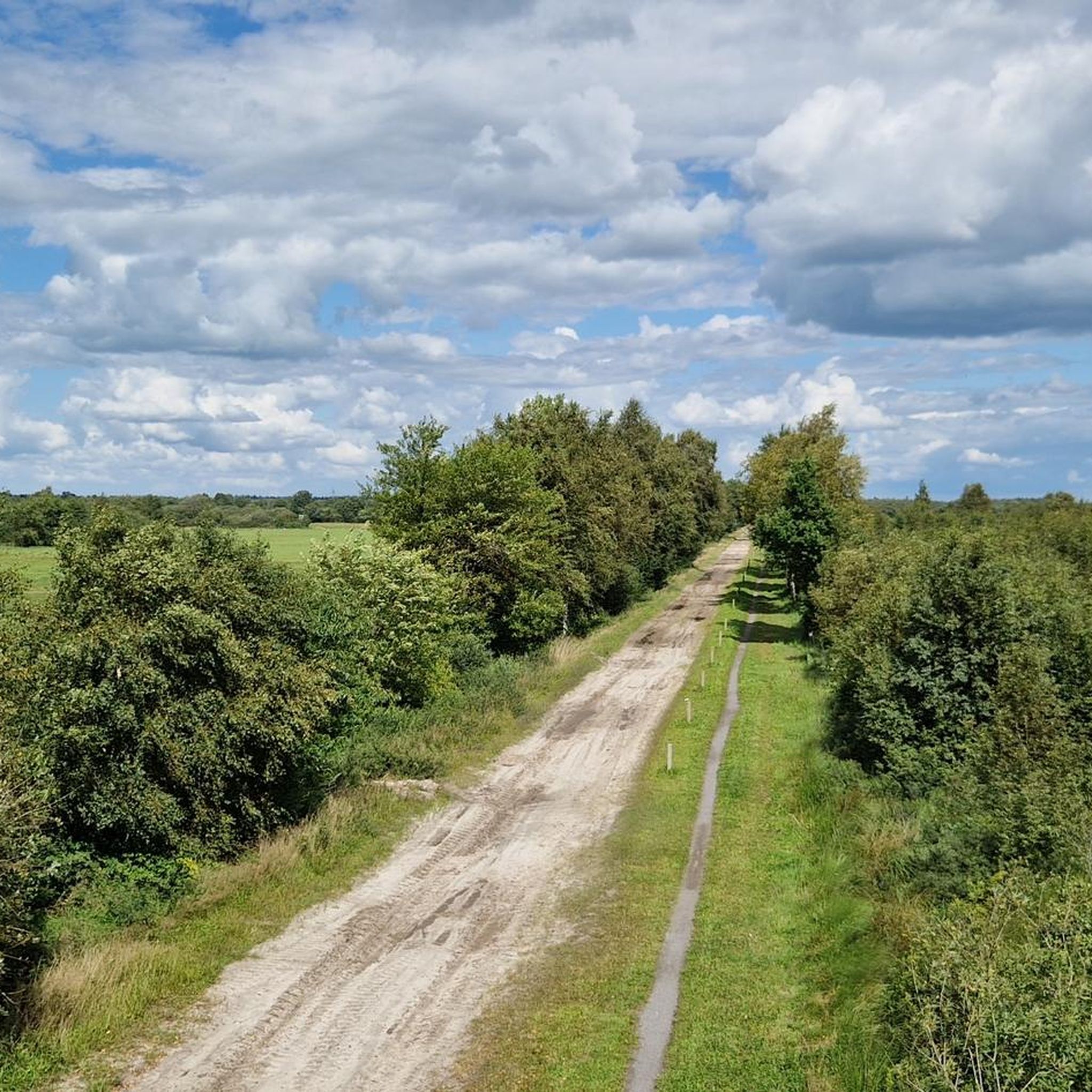
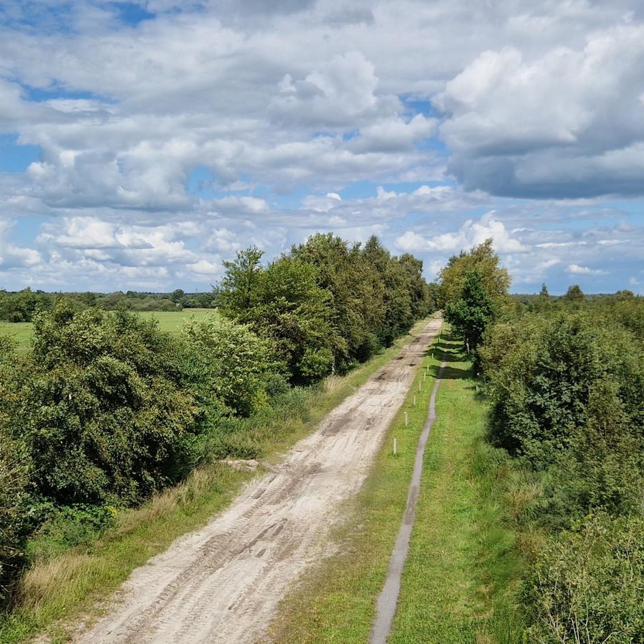
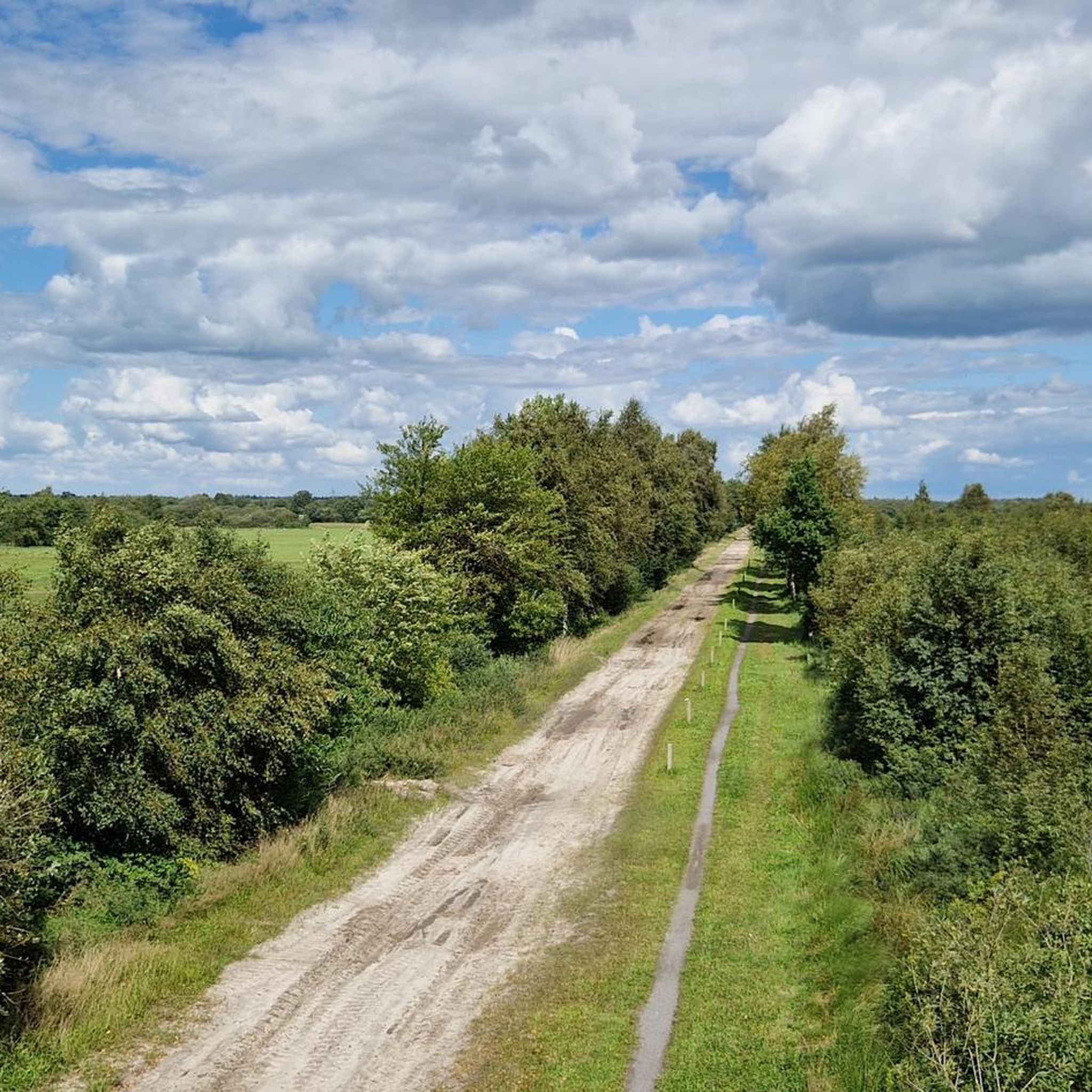
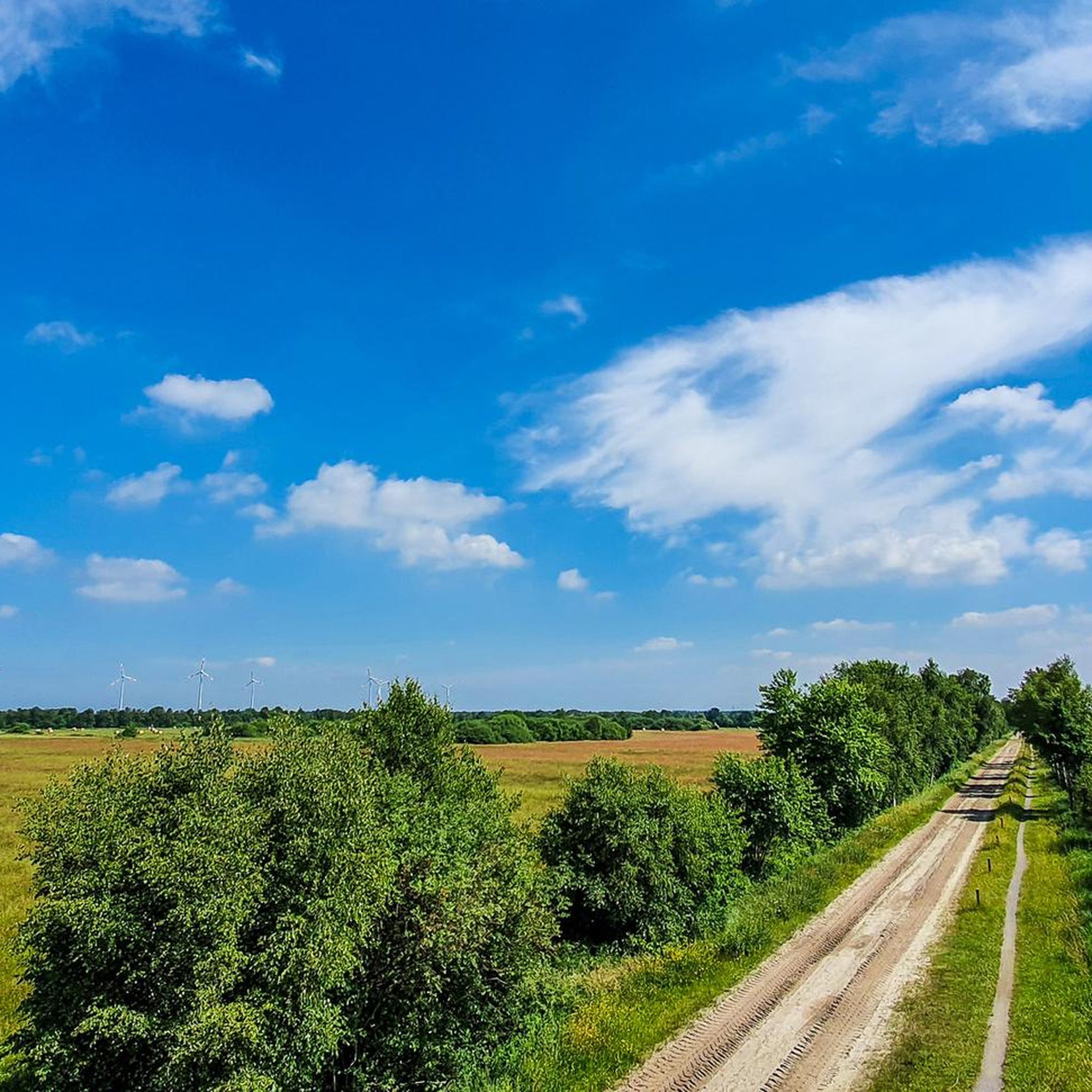
Idyllic spot with a beautiful view of the Lengener Meer.
1
0

A beautiful spot of nature with a single track and a viewpoint. A great place to unwind and enjoy nature.
1
0

The ideal destination for cyclists, hikers and nature lovers. The adventure trail near Uplengen was completed at the end of 2008. This circular hiking trail with a lookout tower and a replica of an ancient plank path that led through the moor thousands of years ago gives visitors an idea of how the impassable moor was crossed back then. You can also take a break in the middle of the untouched nature or learn information about the flora and fauna from several information boards set up there. The trail is 1.6 km long. There is enough parking space.
3
0

Large moorland area with a great viewing platform. Information boards are available and the cycle path goes right past here.
1
0
Great large platform that offers a nice overview of the moor. With interesting information boards.
0
0

The lookout is visibly showing its age and needs maintenance but is still stable and the all-round view is very good
0
0
The actual road may be like a sand track but there is a good cycle path next to it
1
0

Very nice area to rest
2
0
Frequently Asked Questions
How many hiking trails are there in Lengener Meer?
The Lengener Meer area offers a wide variety of hiking opportunities, with over 200 routes available. These range from easy strolls to more moderate paths through the unique moor landscape.
Are there easy hiking trails suitable for beginners or families?
Yes, the terrain around Lengener Meer is generally flat and easily walkable, making it suitable for all fitness levels. There are 146 easy routes available. For a pleasant, short walk, consider the Hiking loop from Stapeler Moor und Umgebung, which is 1.0 mile (1.5 km) and takes about 23 minutes.
Can I bring my dog on the hiking trails around Lengener Meer?
Many trails in the Lengener Meer area are suitable for dogs, allowing you to explore the unique moor landscapes together. However, as much of the area is a nature reserve, it's always best to keep your dog on a leash to protect the local flora and fauna, especially rare bird species.
Are there circular hiking routes available?
Yes, circular routes are a popular way to experience the Lengener Meer. For example, the Hiking loop from Lengener Meer is an easy 2.2-mile (3.6 km) path that offers views of the central high moor lake. Another option is the moderate Hiking loop from Ruttelerfeld, covering 5.0 miles (8.1 km) through the surrounding moorlands.
What kind of landscapes and wildlife can I expect to see?
Lengener Meer is characterized by its unique high moor lake and extensive moor landscapes, which are part of a 240-hectare nature reserve. You can observe diverse flora, including sphagnum mosses, cotton grass, and bell heather. The area is also a haven for rare bird species, especially waterfowl like teal and mallards in winter. Observation platforms provide excellent vantage points for wildlife spotting.
Are there any viewpoints or observation platforms along the trails?
Yes, the region features observation platforms and towers specifically designed to offer panoramic views of the largely untouched high moor lake and its inhabitants. These are ideal spots for patient observers to spot rare bird and plant species.
What is the best time of year to go hiking in Lengener Meer?
Lengener Meer offers unique experiences throughout the year. Spring and summer showcase the vibrant flora of the moorlands. In autumn, the changing colors are beautiful. Winter attracts numerous waterfowl to the lake and Stapeler Moor, offering excellent birdwatching opportunities. The trails are generally accessible year-round, but conditions may vary with weather.
What do other hikers enjoy the most about hiking in Lengener Meer?
The area is highly rated by the komoot community, with an average score of 4.5 stars from over 900 reviews. Hikers often praise the unique, tranquil moor landscapes, the well-maintained and easily walkable trails, and the opportunities for wildlife observation, especially around the high moor lake.
Are there any longer, more challenging routes for experienced hikers?
While the region is known for its generally flat and easy terrain, there are some longer, moderate options. For instance, the Waldhaus loop from Schwarzes Meer is a moderate 9.3-mile (15 km) route that takes approximately 3 hours 46 minutes to complete, offering a more extended exploration of the area.
Are there any specific points of interest or landmarks to look out for?
Beyond the Lengener Meer itself, which is a rare high moor lake, the area includes the Spolsener Moor, known for its preserved habitats. Specific points of interest along routes can include the 'Torfschuppen' (peat shed) and the historic 'Das Schloss Neuenburg' (Neuenburg Castle), which are part of the broader regional experience.
Is there parking available near the hiking trails?
Yes, parking facilities are generally available at common starting points for trails around Lengener Meer and within the nature reserve areas. These are typically well-marked to provide convenient access for hikers.
How long do hikes around Lengener Meer typically take?
Hikes vary in length and duration. Many easy routes, like the Hiking loop from Stapeler Moor und Umgebung, can be completed in under an hour. Moderate routes, such as the Hiking loop from Ruttelerfeld, might take around 2 hours. The longest routes can extend to 3-4 hours, allowing for a full day of exploration.
Most popular routes around Lengener Meer

Get inspired with the komoot mobile app


Explore more
Browse the best Hikes in other regions.
