The best running trails around Agoura Hills
4.6
(9)
475
runners
26
runs
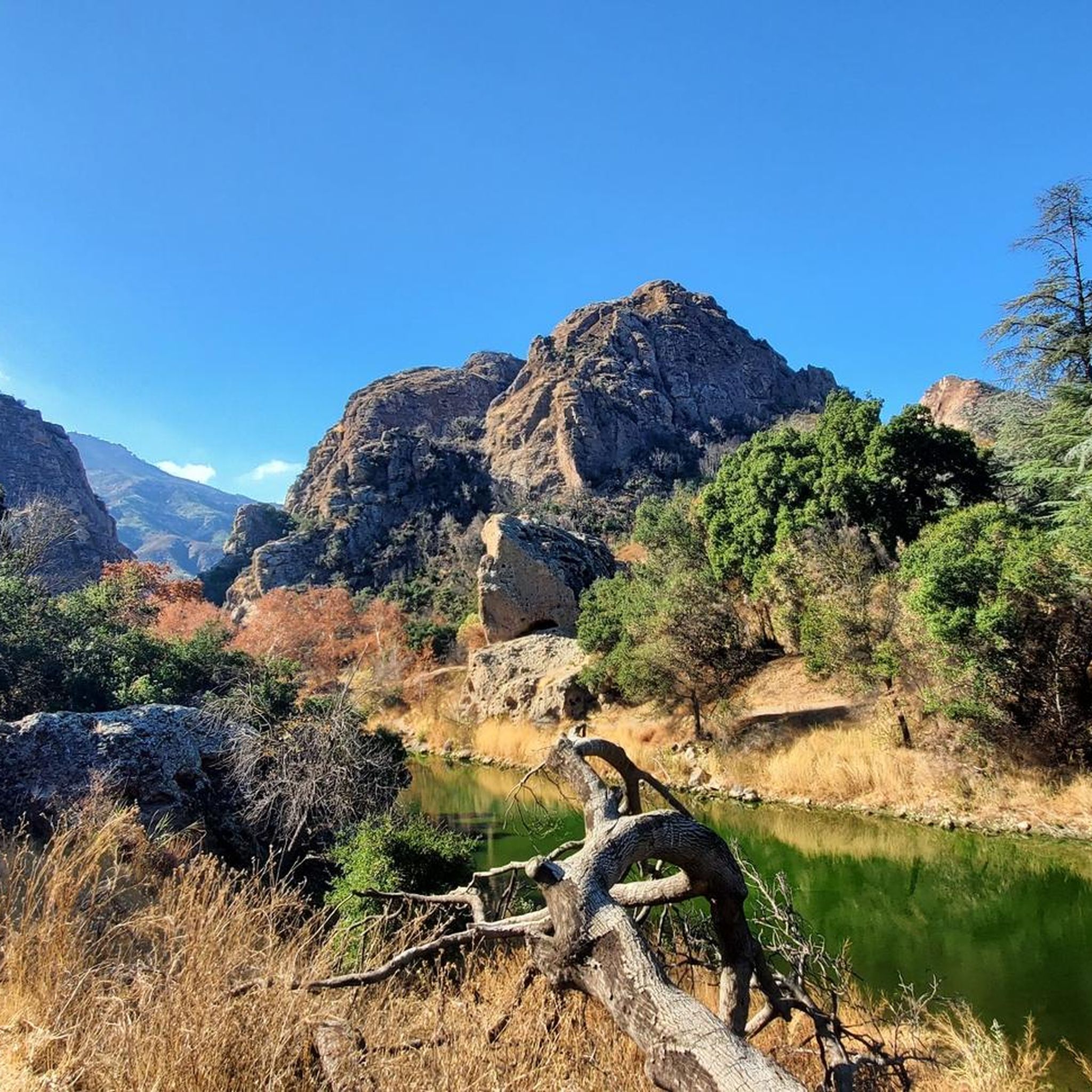
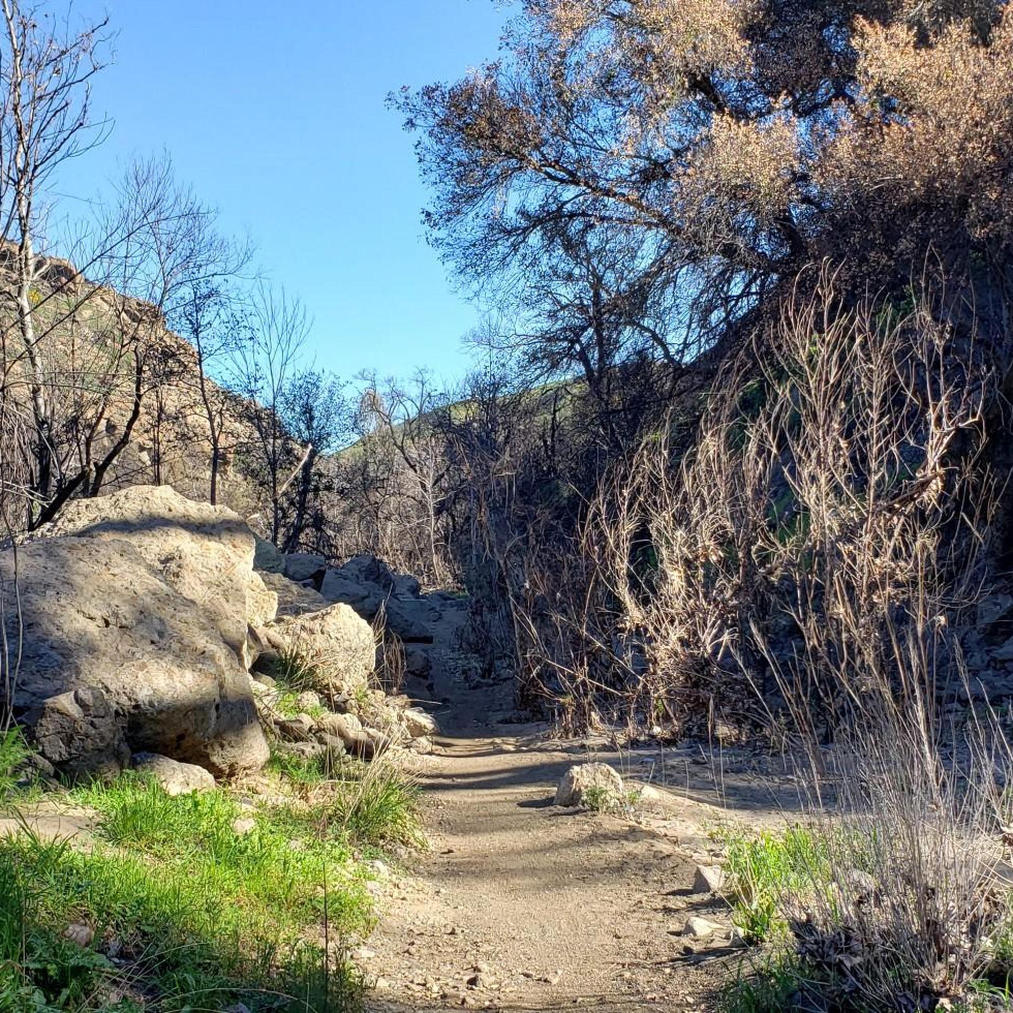
Jogging around Agoura Hills offers access to a diverse network of trails within the Santa Monica Mountains. The region features oak woodlands, chaparral-covered hills, and canyon trails, providing varied terrain for runners. These routes often include gentle inclines, wide-open spaces, and shaded paths through riparian areas. The landscape is characterized by its natural features, making it suitable for different running preferences.
Best jogging routes around Agoura Hills
- The most popular jogging route is Cheeseboro Ridge and Cheeseboro Canyon Loop, a 10.0 miles (16.0 km) trail that takes 1 hour 55 minutes to complete. This difficult route offers challenging inclines and rewarding views of the surrounding landscape.
- Another top favourite among local runners is Cheeseboro Canyon Trailhead – Cheeseboro Canyon Trail loop from Agoura Hills, a difficult 14.1 miles (22.7 km) path. This route features a mix of dirt roads and single-track sections through the canyons.
- Local runners also love the Cheeseboro Canyon Trail – Cheeseboro Canyon Trailhead loop from Agoura Hills, an 8.2 miles (13.3 km) trail leading through oak woodlands and canyon terrain, often completed in about 1 hour 35 minutes.
- Jogging around Agoura Hills is defined by oak woodlands, chaparral-covered hills, and canyon trails. The network offers options for various ability levels, from moderate paths to more difficult ascents.
- The routes in Agoura Hills are highly rated by the komoot community with an average score of 4.1 stars from more than 5 reviews. More than 400 runners have used komoot to explore Agoura Hills's varied terrain.
Last updated: July 7, 2026
21
runners
16.0km
01:55
290m
290m
This difficult 10.0-mile jogging loop in Santa Monica Mountains National Recreation Area offers varied terrain and scenic canyon views.
35
runners
20.0km
02:24
290m
290m
The Cheeseboro Canyon Trail loop from Agoura Hills offers a demanding jogging experience, perfect if you're seeking a substantial workout. This difficult route covers 12.4 miles (20.0 km) and includes 950 feet (290 metres) of elevation gain, making it a true test of endurance. Expect a consistent effort throughout the estimated 2 hours and 23 minutes it takes to complete.
To plan your visit, ensure you arrive early to secure parking, especially since this is one of the popular routes for jogging in Agoura Hills. Always bring ample water, as the duration and difficulty mean you'll need to stay well-hydrated. Checking the weather beforehand will help you prepare for the conditions on the trail.
This trail is particularly well-suited for experienced joggers looking to push their limits. Its length and elevation make it a significant challenge, distinguishing it from beginner jogging trails in the area. If you're ready for a rigorous run, this loop provides a rewarding experience.

Sign up for free
20
runners
7.98km
00:59
70m
70m
Moderate run. Good fitness required. Mostly paved surfaces. Suitable for all skill levels.
5.0
(1)
15
runners
Moderate run. Good fitness required. Mostly paved surfaces. Suitable for all skill levels.
16
runners
Moderate run. Good fitness required. Mostly paved surfaces. Suitable for all skill levels.
Get access to more routes and recommendations from other explorers.
Sign up for free
Already have an account?
Our route recommendations are based on thousands of hikes, rides, and runs completed by other people on komoot.
Start today with a free account
Your next adventure awaits.
Login or Signup

Tips from the Community

Cheeseboro Canyon Trailhead features a parking lot, toilets and a water fountain.
0
0

This trail presents a challenging incline of 400 feet in just about a mile. The rewarding views of the area and the vibrant display of wildflowers make it well worth the effort.
0
0
This trail presents a challenging incline of 400 feet in just about a mile. The rewarding views of the area and the vibrant display of wildflowers make it well worth the effort.
0
0

The Cheeseboro Ridge Trail parallels the Cheeseboro Canyon Trail to the West. Both trails are popular with cyclists and long distance runners.
0
0
This is the end point for the Cheeseboro Canyon Trail. Now you can either head down the Sheep Corral Trail or turn right to connect to the Cheeseboro Ridge Trail that loops around back down to the Cheeseboro Canyon trailhead.
0
0
The Cheeseboro Canyon trail is popular with runners, hikers and mountain bikers. The whole canyon system is a super place to run with a variety of routes. If you include Cheeseboro Ridge then you have a perfect nine mile loop.
0
0
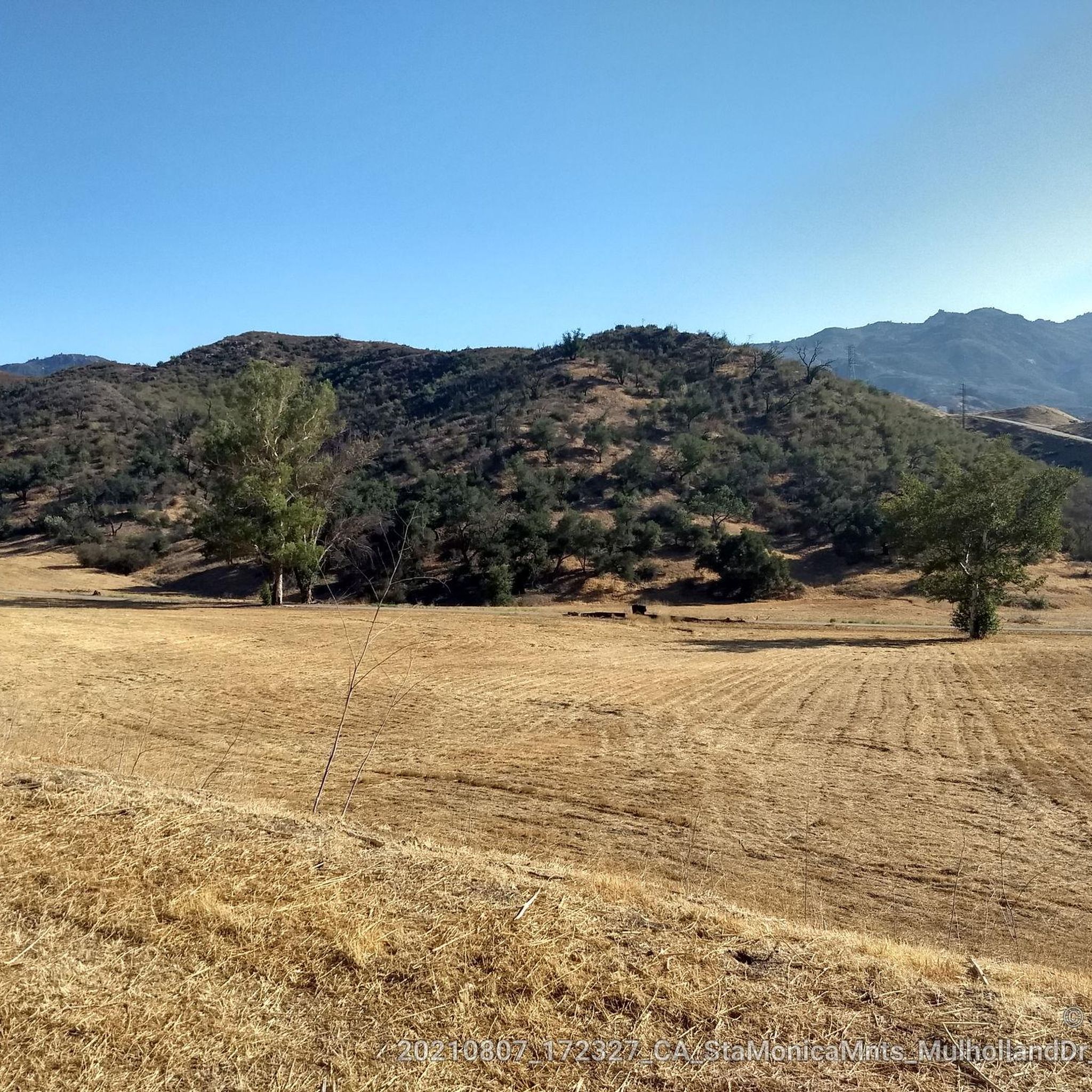
The gently rounded hills and canyons of Cheeseboro and Palo Comado are a beautifully formed section of the Santa Monica Mountains and provides a popular destination for hikers, bikers, and runners. There are parking and restroom facilities here.
0
0

The Sunrise Meadows Open Space has trail systems running through it, welcoming hiking, mountain biking, trail running, horseback riding, picnicking, birdwatching, and dog walking. The fields are up against the Oak Park residential area.
0
0
Frequently Asked Questions
What types of running terrain can I expect in Agoura Hills?
Agoura Hills, often called the "Gateway to the Santa Monica Mountains," offers a diverse range of running terrain. You'll find everything from challenging inclines on ridgelines to gentle paths through oak woodlands and chaparral-covered hills. Many routes feature a mix of dirt roads and single-track sections, with some shaded paths along riparian areas, particularly in areas like Cheeseboro and Palo Comado Canyons.
Are there any easy or beginner-friendly running routes in Agoura Hills?
While many routes in Agoura Hills offer moderate to difficult challenges, there are options for easier runs. Local parks like Agoura Hills Community Park provide paved pathways and open grassy areas suitable for shorter, less strenuous jogs. The Medea Creek Trail also offers a scenic, tree-lined path ideal for walking and jogging. For a moderate trail experience, consider the Cheeseboro Canyon Trail – Cheeseboro Canyon Trailhead loop from Agoura Hills, which leads through oak woodlands and canyon terrain.
Where can I find longer or more challenging running trails in the area?
For advanced runners seeking longer and more challenging routes, Agoura Hills delivers. The Cheeseboro Ridge and Cheeseboro Canyon Loop is a difficult 10-mile trail known for its challenging inclines and rewarding views. Another demanding option is the Cheeseboro Canyon Trailhead – Cheeseboro Canyon Trail loop from Agoura Hills, a 14.1-mile path featuring a mix of dirt roads and single-track sections through the canyons.
Are there any running routes that are suitable for families or those with children?
Yes, several areas offer family-friendly options. Reyes Adobe Park features lush grassy meadows and trails, while Chumash Park provides walking trails and access to the Santa Monica Mountains National Recreation Area. The Medea Creek Trail is also a pleasant, scenic path suitable for family jogs. For a moderate trail experience, the Cheeseboro Canyon Trailhead – Cheeseboro Canyon Trailhead loop from Liberty Canyon Open Space offers a good balance of distance and manageable elevation.
Can I bring my dog on the running trails in Agoura Hills?
Many trails within the Santa Monica Mountains National Recreation Area, including those in Cheeseboro and Palo Comado Canyons, are dog-friendly, typically requiring dogs to be on a leash. It's always best to check specific park regulations before heading out, but generally, you'll find plenty of opportunities to run with your canine companion on the extensive trail network.
What kind of natural features or landmarks can I see while running in Agoura Hills?
Agoura Hills' running routes are rich with natural beauty and interesting landmarks. You can explore oak woodlands, chaparral-covered hills, and enjoy sweeping views from high ridgelines. Within Malibu Creek State Park, you might encounter the iconic Malibu Creek Rock Pools or the preserved M*A*S*H television show set. The Ladyface Mountain trail offers stunning views, and Paramount Ranch provides a unique experience with trails winding through oak groves and historic filming locations.
Are there any loop or circular running routes available?
Yes, many of the popular running routes in Agoura Hills are designed as loops, allowing for varied scenery without retracing your steps. Examples include the challenging Cheeseboro Ridge and Cheeseboro Canyon Loop and the Cheeseboro Canyon Trail – Ranch Center Trail loop from Liberty Canyon Open Space, which offers a moderate experience through canyon terrain.
What is the best time of year to go running in Agoura Hills?
The best time for running in Agoura Hills is generally during the cooler months, from late fall through spring. The mild temperatures make for more comfortable runs, and you might even catch beautiful wildflower blooms in spring. Summers can be hot, so early morning or late evening runs are recommended during that season. Always check local weather conditions before heading out.
Are there good parking options near the running trailheads?
Yes, many of the major trailheads in and around Agoura Hills, particularly those accessing the Santa Monica Mountains National Recreation Area like Cheeseboro Canyon, offer dedicated parking facilities. Local parks such as Agoura Hills Community Park and Reyes Adobe Park also provide convenient parking for visitors.
What do other runners say about the trails in Agoura Hills?
The running routes in Agoura Hills are highly regarded by the komoot community, with an average score of 4.1 stars from over 9 reviews. Runners often praise the varied terrain, the natural beauty of the Santa Monica Mountains, and the extensive network of trails that cater to different ability levels. Many appreciate the opportunities for wildlife viewing and the peaceful, scenic environment.
How many running routes are there in Agoura Hills?
Agoura Hills offers a wide selection of running routes, with over 20 different tours available on komoot. These routes range in difficulty and length, providing plenty of options for runners of all experience levels.
Are there any routes that offer scenic viewpoints?
Absolutely. Many trails in Agoura Hills provide breathtaking vistas, especially those that climb to higher elevations. The Cheeseboro Ridge and Cheeseboro Canyon Loop, for instance, offers rewarding views of the surrounding landscape. Additionally, trails leading to Ladyface Mountain or within Malibu Creek State Park often feature stunning overlooks of the canyons and mountains.
Most popular routes around Agoura Hills
Most popular attractions around Agoura Hills

Get inspired with the komoot mobile app


Explore more
Browse the best Running Trails & Routes in other regions.
