The best road cycling routes around Watsonville
4.7
(12)
475
riders
49
rides
Road cycling routes around Watsonville offer a diverse landscape blending coastal beauty, agricultural vistas, and rolling hills. The region features expansive beaches, fertile farmlands, and natural wetlands, providing varied terrain for cyclists. Routes often wind through strawberry fields and past sloughs, with some leading to state beaches. The area's topography includes gentle coastal paths and more challenging ascents into the surrounding hills.
Best road cycling routes around Watsonville
- The most popular road cycling route is Pleasure Point Beach – Capitola Village loop from Corralitos, a 52.9 miles (85.2 km) trail that takes 4 hours 32 minutes to complete. This difficult route connects inland areas with popular coastal destinations.
- Another top favourite among local road cyclists is Calero Reservoir – Uvas Reservoir loop from Corralitos, a difficult 72.9 miles (117.3 km) path. This route features significant elevation gain through rolling hills and reservoir landscapes.
- Local road cyclists also love the Manresa State Beach – Sunset State Beach loop from Watsonville, a 25.5 miles (41.0 km) trail leading through coastal areas and agricultural fields, often completed in about 1 hour 45 minutes.
- Road cycling around Watsonville is defined by coastal paths, agricultural fields, and rolling hills. The network offers options for different ability levels, from moderate coastal loops to difficult routes with significant elevation.
- The routes in Watsonville are highly rated by the komoot community with an average score of 4.2 stars from over 15 reviews. More than 750 road cyclists have used komoot to explore Watsonville's varied terrain.
Last updated: July 8, 2026
51
riders
85.2km
04:34
1,210m
1,210m
Hard road ride. Very good fitness required. Mostly well-paved surfaces and easy to ride.
5.0
(1)
26
riders
117km
06:29
1,830m
1,830m
Hard road ride. Very good fitness required. Some segments of this route may be unpaved and difficult to ride.

Sign up for free
4.0
(1)
13
riders
41.0km
01:46
310m
310m
Moderate road ride. Good fitness required. Mostly well-paved surfaces and easy to ride.
12
riders
33.3km
01:46
540m
540m
Moderate road ride. Good fitness required. Mostly well-paved surfaces and easy to ride.
13
riders
76.3km
03:26
410m
410m
Moderate road ride. Good fitness required. Some segments of this route may be unpaved and difficult to ride.
Get access to more routes and recommendations from other explorers.
Sign up for free
Already have an account?
Our route recommendations are based on thousands of hikes, rides, and runs completed by other people on komoot.
Start today with a free account
Your next adventure awaits.
Login or Signup
Tips from the Community


For cyclists exploring Santa Cruz, Pleasure Point Beach on 38th Avenue beckons with its beauty and recreational opportunities. Ideal for swimming, sunbathing, and surfing, the beach offers a picturesque setting. It is accessible via a brief walk from the road.
0
0

Twin Lakes State Beach features a mile of sandy shoreline for swimming and picnicking, situated near the Santa Cruz Harbor. Adjacent Schwan Lake Park offers picturesque walking trails through oak preserves and coastal grasslands, ideal for dog-walking and bird watching. The day-use area operates from sunrise to sunset.
0
0

Sunset State Beach is a large park surrounded by fertile farmland. The beach stretches 3 miles down to the mouth of the Pajaro River. The park offers a wooded campground, picnic areas, and 200-foot-high dunes.
0
0
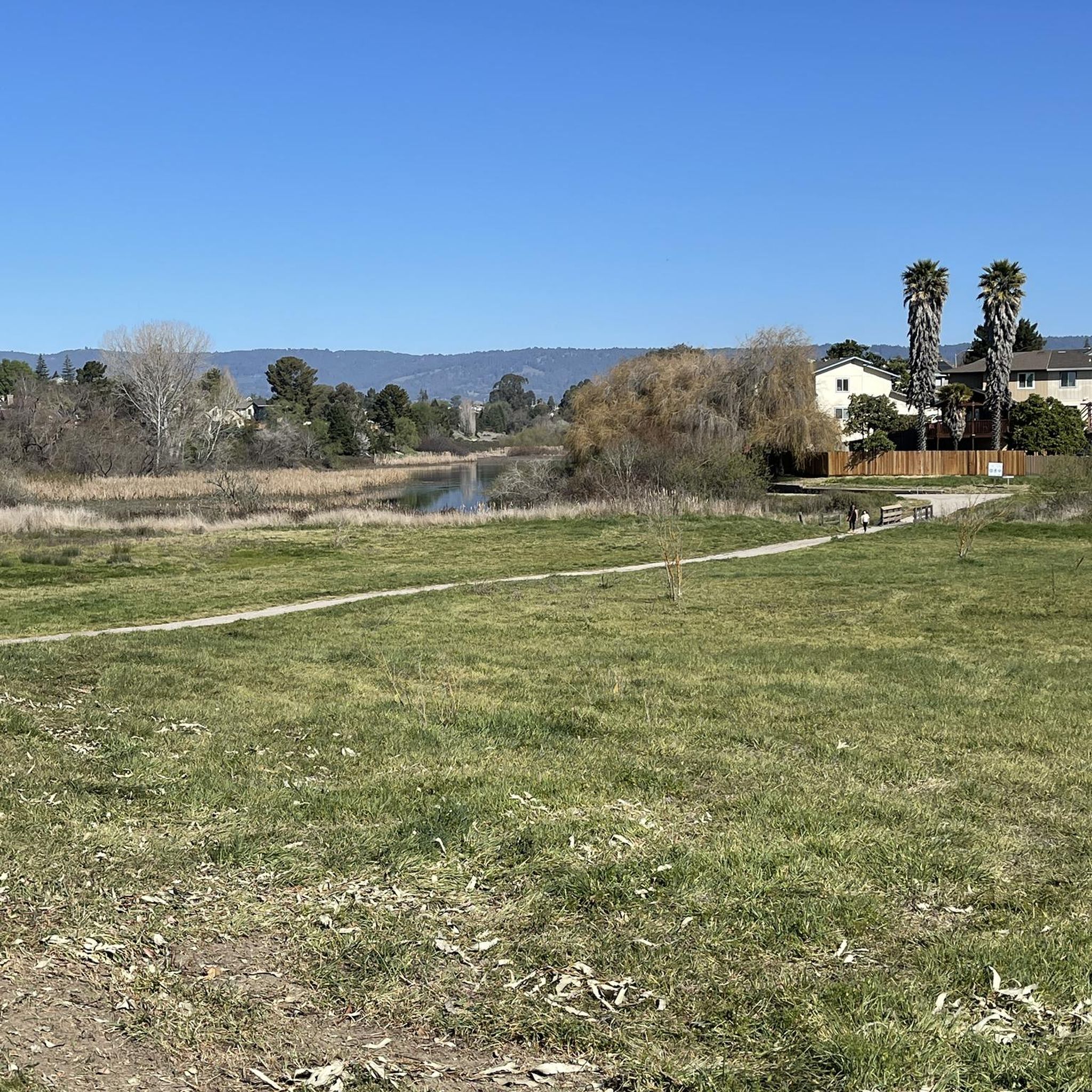
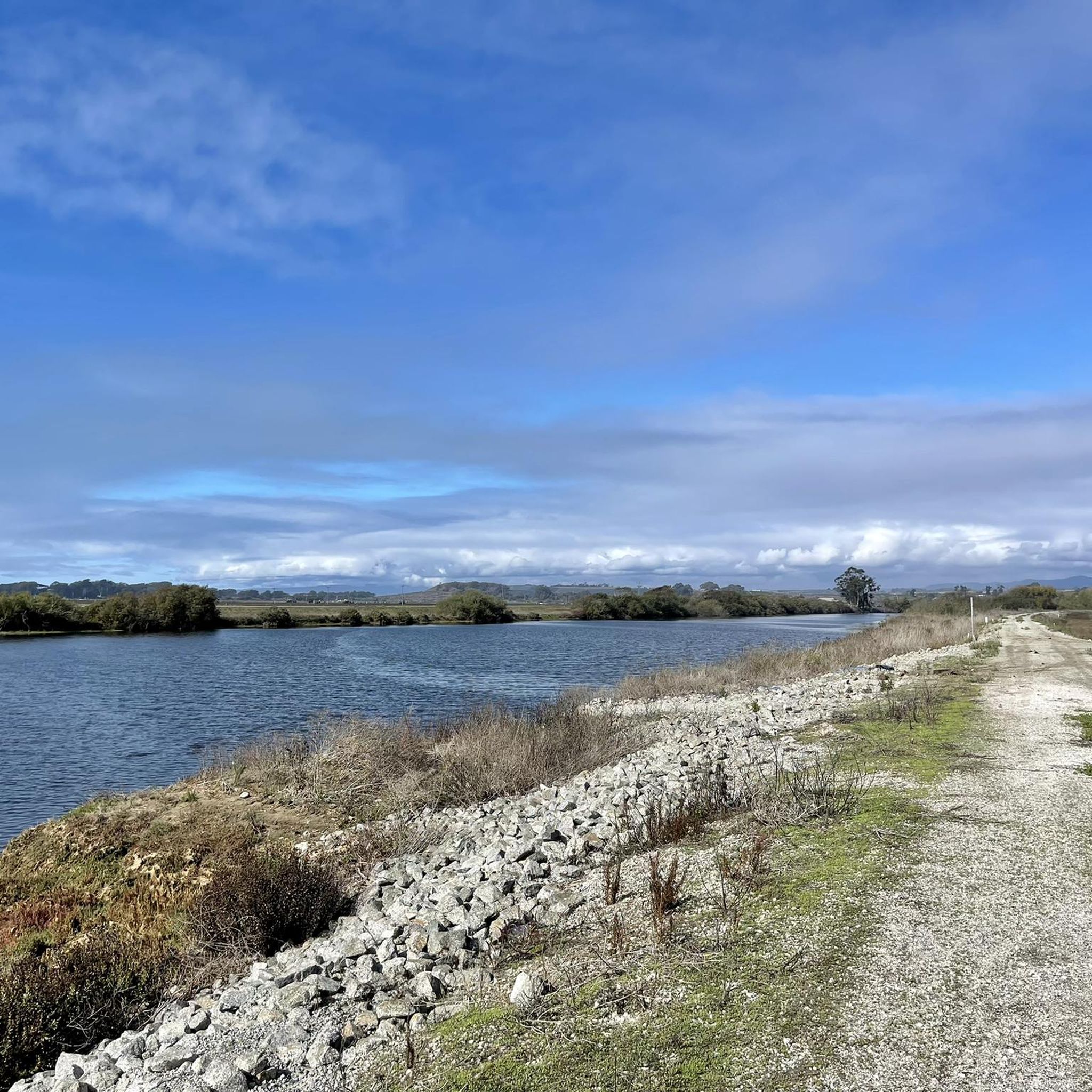
The Pajaro River stretches for 30 miles from the Diablo Range to where it empties into Monterey Bay. Additionally, the river forms the border between Monterey County and Santa Cruz County.
0
0
The Seascape Village is a shopping center that offers a mix of boutique stores, eateries, and essential services. The shops are known for their blend of coastal charm and business.
0
0
Branciforte Drive is a beautiful and mellow road to ride. The climbs are gentle compared to other roads in the area.
0
0
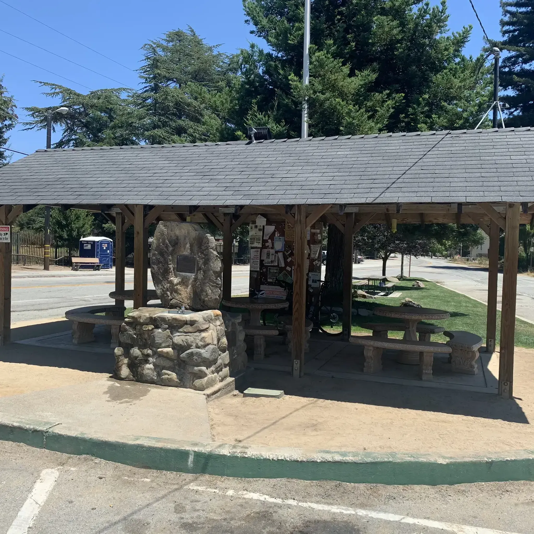
Pleasure Point Beach is a popular surf spot and is part of Pleasure Point Park. The park also features restrooms, picnic tables, and offers great views.
0
0
Frequently Asked Questions
What kind of terrain can I expect on road cycling routes around Watsonville?
Road cycling routes in Watsonville offer a diverse landscape. You'll find everything from gentle coastal paths and routes winding through rich agricultural fields, like strawberry fields, to more challenging ascents into the rolling hills surrounding the area. The region also features natural wetlands and sloughs, providing varied scenery.
Are there road cycling routes suitable for beginners or those looking for an easier ride?
Yes, Watsonville offers options for various skill levels. While many routes feature significant elevation, there are also easier options. For example, the Manresa State Beach – Sunset State Beach loop from Watsonville is a moderate 25.5-mile route that takes you through coastal areas and agricultural fields, offering a less strenuous experience.
What are some of the more challenging road cycling routes in the Watsonville area?
For experienced road cyclists seeking a challenge, routes like the Calero Reservoir – Uvas Reservoir loop from Corralitos offer significant elevation gain over its 72.9 miles. Another demanding option is the Pleasure Point Beach – Capitola Village loop from Corralitos, which spans 52.9 miles and connects inland areas with popular coastal destinations.
What natural features or landmarks can I see along the road cycling routes?
Many routes offer scenic views of the Pacific coastline, expansive beaches like Manresa State Beach, and vast agricultural fields. You might also encounter natural wetlands and sloughs, home to diverse wildlife. Some routes pass by significant natural monuments such as Uvas Reservoir and the forested areas of Mount Madonna County Park.
Are there any routes that feature waterfalls?
Yes, for those interested in natural water features, some routes in the broader Watsonville area can bring you close to waterfalls. Notable examples include Granuja Falls and Upper Falls, which are highlights in the region.
Can I find long-distance road cycling routes in Watsonville?
Absolutely. Watsonville is a great starting point for longer rides. Routes such as the Santa Cruz Boardwalk – Pleasure Point Beach loop from Corralitos covers over 66 miles (106 km), offering an extensive journey through varied landscapes.
Are there circular road cycling routes available?
Many of the road cycling routes around Watsonville are designed as loops, allowing you to start and end at the same point. This includes popular options like the Pajaro River – Pajaro Valley View loop from Watsonville, which provides a scenic circular tour.
What is the best time of year for road cycling in Watsonville?
Watsonville generally enjoys a mild climate, making road cycling enjoyable for much of the year. However, the spring and fall often offer the most pleasant temperatures and clearer skies. The region's agricultural fields, particularly the strawberry fields, are vibrant during their growing seasons, adding to the scenic appeal.
What do other road cyclists enjoy most about the routes in Watsonville?
The road cycling routes in Watsonville are highly rated by the komoot community, with an average score of 4.2 stars from over 15 reviews. Cyclists often praise the diverse scenery, which blends coastal views, agricultural vistas, and rolling hills, as well as the variety of routes available for different ability levels.
Are there any specific cycleways or dedicated cycling infrastructure in Watsonville?
Yes, Watsonville has growing cycling infrastructure. The city features an interactive cycle map detailing various types of cycling infrastructure, including official cycle routes and marked cycle lanes. The Watsonville Rail Trail, part of the larger Santa Cruz Coastal Rail Trail, is a multi-use paved path that offers a safe route for cyclists.
Where can I find more information about local attractions in Watsonville?
For more details on attractions within the city, you can visit the official Watsonville city website at watsonville.gov/394/Watsonville-Attractions. Information on things to do, including the Wetlands of Watsonville Nature Center, is also available at watsonville.gov/1037/Things-to-Do and watsonville.gov/413/Wetlands-of-Watsonville-Nature-Center.
Most popular routes around Watsonville
Most popular attractions around Watsonville

Get inspired with the komoot mobile app


Explore more
Browse the best Road cycling routes in other regions.
