The best walks and hikes around Watsonville
4.8
(14)
388
hikers
24
hikes
Hiking around Watsonville, California, offers diverse landscapes including extensive freshwater wetlands, ancient redwood forests, and rolling hills. The region provides coastal access to Monterey Bay, featuring trails near beaches and sloughs. Hikers can explore varied terrain, from smooth dirt paths along creeks to routes winding through dense forests and past waterfalls. The area is characterized by a blend of freshwater wetlands, redwood forests, and coastal features, providing a range of hiking experiences.
Best hiking trails around Watsonville
- The most popular hiking route is Nature Trail, Merry Go Round and Ridge Trail Loop, a moderate 5.4 miles (8.6 km) trail that takes 2 hours 47 minutes to complete. This route features scenic vistas through redwood forests and hills.
- Another top favourite among local hikers is Byrne Trail, an easy 3.4 miles (5.5 km) path. This route offers trails through serene redwood and oak woodlands.
- Local hikers also love the Pinto Lake County Park Loop, a 1.7 miles (2.8 km) trail leading through peaceful wetlands and offering lake views, often completed in about 44 minutes.
- Hiking around Watsonville is defined by freshwater wetlands, redwood forests, and coastal access. The network offers options for various ability levels, from easy strolls to moderate climbs.
- The routes in Watsonville are highly rated by the komoot community with an average score of 4.8 stars from over 20 reviews. More than 400 hikers have used komoot to explore Watsonville's varied terrain.
Last updated: July 9, 2026
5.0
(1)
16
hikers
11.5km
04:06
660m
660m
The Knibbs Knob and Waterfall Loop is a fascinating journey through Uvas Canyon County Park, offering a dramatic shift in scenery and effort. You'll begin with a demanding climb up Knibbs Knob, traversing dense forests before reaching exposed sections with expansive views of the Santa Cruz and Diablo Mountains. The second part of the route immerses you in the lush, shaded woodlands of the Waterfall Loop, where you can enjoy the tranquil sounds of rushing water and discover multiple cascades like Upper Falls and Granuja Falls.
To hike this 7.2-mile (11.5 km) route, which involves 2168 feet (661 metres) of elevation gain and takes about 4 hours and 5 minutes, you'll need to pay an entrance fee for Uvas Canyon County Park. Reservations are recommended, particularly during busy periods. The best time of year to hike Knibbs Knob and Waterfall Loop for vibrant waterfalls is during the wetter winter and spring months, when the cascades are at their fullest.
This moderate trail is notable for its stark contrast: from the strenuous, panoramic ascent of Knibbs Knob to the serene, waterfall-rich environment of the canyon floor. Knibbs Knob itself is named after Henry Knibb, who homesteaded in the area in 1891, adding a layer of local history to your adventure. It's a great option if you're looking for a varied hiking experience that combines a challenging workout with peaceful natural beauty.
5.0
(1)
15
hikers
8.64km
02:47
370m
420m
The Nature Trail, Merry Go Round and Ridge Trail Loop offers a delightful escape into the varied ecosystems of Mount Madonna County Park. You'll traverse through towering redwood forests, providing cool shade, before emerging into sun-dappled oak woodlands and dense chaparral. The path winds past scenic spots like Sprig Lake, giving you a real sense of journey through different natural environments.
This moderate 5.4-mile (8.6 km) hike involves a significant 1221 feet (372 metres) of elevation gain, taking about 2 hours and 46 minutes to complete. The initial climb is steep, so be prepared for a good cardio challenge early on. Parking is available within Mount Madonna County Park, and the trail is generally not crowded, making it ideal for a peaceful outing. Dogs are also welcome on leash.
Beyond the natural beauty, the loop provides a chance to experience the historical elements within Mount Madonna County Park, adding another layer to your adventure. It's a fantastic option for those seeking a diverse hiking experience with a good workout, combining natural scenery with points of interest like the White Deer Pen.

Sign up for free
8
hikers
5.55km
01:47
270m
150m
The Byrne Trail offers a delightful blend of natural beauty and whimsical art, winding through redwood and mixed-hardwood forests in the Byrne-Milliron Forest. You'll encounter unique wooden sculptures and find yourself at viewpoints like "AJ's Point of View," which provides sweeping vistas of the Pajaro Valley and Monterey Bay. This easy 3.5-mile (5.6 km) hiking route, with 899 feet (274 metres) of elevation gain, takes approximately 1 hour and 46 minutes, making it accessible for many.
Located in Corralitos, California, the Byrne Trail is a popular choice for those seeking a relaxed outing. It's one of the few parks in Santa Cruz County where you can bring your dog off-leash, adding to its appeal for pet owners. While specific parking information isn't detailed, planning for a visit during pleasant weather will enhance your experience on this charming trail.
What truly sets this trail apart are the quirky, off-beat wooden animal characters and other artistic installations by caretaker Jeff Helmer, including a "Cathedral" resting spot. Beyond the art, the forest is home to abundant wildlife, from hawks overhead to deer and foxes, and even features the impressive 1,000-year-old "Great White" redwood. This trail offers a unique blend of nature and creativity.
4.0
(1)
7
hikers
7.22km
02:19
340m
300m
The Ridge and Camp Trail Loop offers a captivating hike through varied terrain, from winding single-track paths on its western side to broader double-track sections on the eastern ridge. You'll encounter historical markers like abandoned oil wells, providing a glimpse into the area's past, all while navigating a moderate 4.5-mile (7.2 km) route with 1101 feet (336 metres) of elevation gain. This trail is a great choice if you appreciate a mix of natural scenery and historical context, typically taking about 2 hours and 19 minutes to complete.
When planning your visit, be aware that the Ridge and Camp Trail Loop is strictly for hikers; no bikes or horses are permitted. It's important to stick to the designated trail to prevent disorientation and to watch out for common plants like stinging nettle and poison ivy. If you're considering an overnight stay, remember that camping reservations are necessary for any shelters within Oil Creek State Park.
Part of the larger Oil Creek State Park, this trail is situated in a gorge carved out by a glacial lake approximately 10,000 years ago. The park itself holds significant historical value, preserving the site of the 1859 oil discovery that shaped the region. As with all natural areas, practicing Leave No Trace principles is essential to protect this unique environment and its ecosystems.
4.03km
01:13
220m
10m
Hike the easy 2.5-mile Santa Rosalia Mountain trail, gaining 721 feet through redwood forests to a Monterey Bay vista.
Get access to more routes and recommendations from other explorers.
Sign up for free
Already have an account?
Our route recommendations are based on thousands of hikes, rides, and runs completed by other people on komoot.
Start today with a free account
Your next adventure awaits.
Login or Signup
Tips from the Community

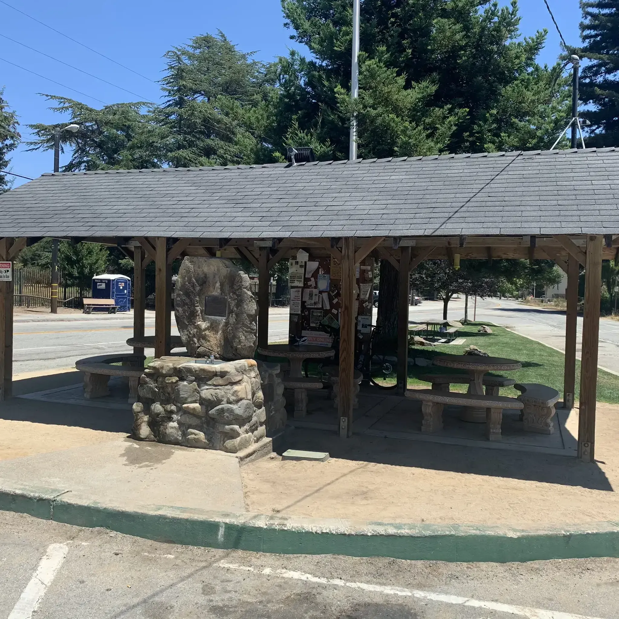
Here is the entrance to Uvas Canyon County Park. The park has several small falls surrounded by forest, walking less than a mile in, you’ll find a waterfall. Here you can find water fountains, restrooms and a campground. This is the perfect place to end or start your ride.
0
0

A cute waterfall but not much going on during summer (we were here in July).
0
0
This is a nice little pond to refresh in during the summer. The rest of the valley is really nice but a bit low on water in July.
0
0

This is a very small waterfall, which, with its nearby counterparts, makes the Waterfall Loop and Contour Trails special.
0
0

The White Deer Pen at the top of Mount Madonna is one of the coolest exhibits at Mount Madonna County Park. There are a bunch of different trails and roads circling the park and traveling up to the higher viewpoints.
1
0
The White Deer Pen at the top of Mount Madonna is one of the coolest exhibits at Mount Madonna County Park. There are a bunch of different trails and roads circling the park and traveling up to the higher viewpoints.
0
0
This is a very small waterfall, which, with its nearby counterparts, makes the Waterfall Loop and Contour Trails special.
0
0
Located a few hundred feet away from Granuja Falls, Upper Falls leads the water from its stream into Swanson Canyon.
0
0
Frequently Asked Questions
How many hiking trails are there in Watsonville?
Watsonville offers a diverse range of hiking experiences with over 15 distinct routes. These trails cater to various skill levels, from easy strolls to more moderate climbs, ensuring there's something for everyone.
Are there any trails with waterfalls near Watsonville?
Yes, Uvas Canyon County Park, a short drive from Watsonville, is renowned for its beautiful waterfalls. You can explore routes like the Waterfall and Contour Trails loop or the Granuja Falls – Black Rock Falls loop, both offering views of multiple falls and unique rock formations. You can also find highlights like Granuja Falls and Upper Falls.
What kind of terrain can I expect on hikes around Watsonville?
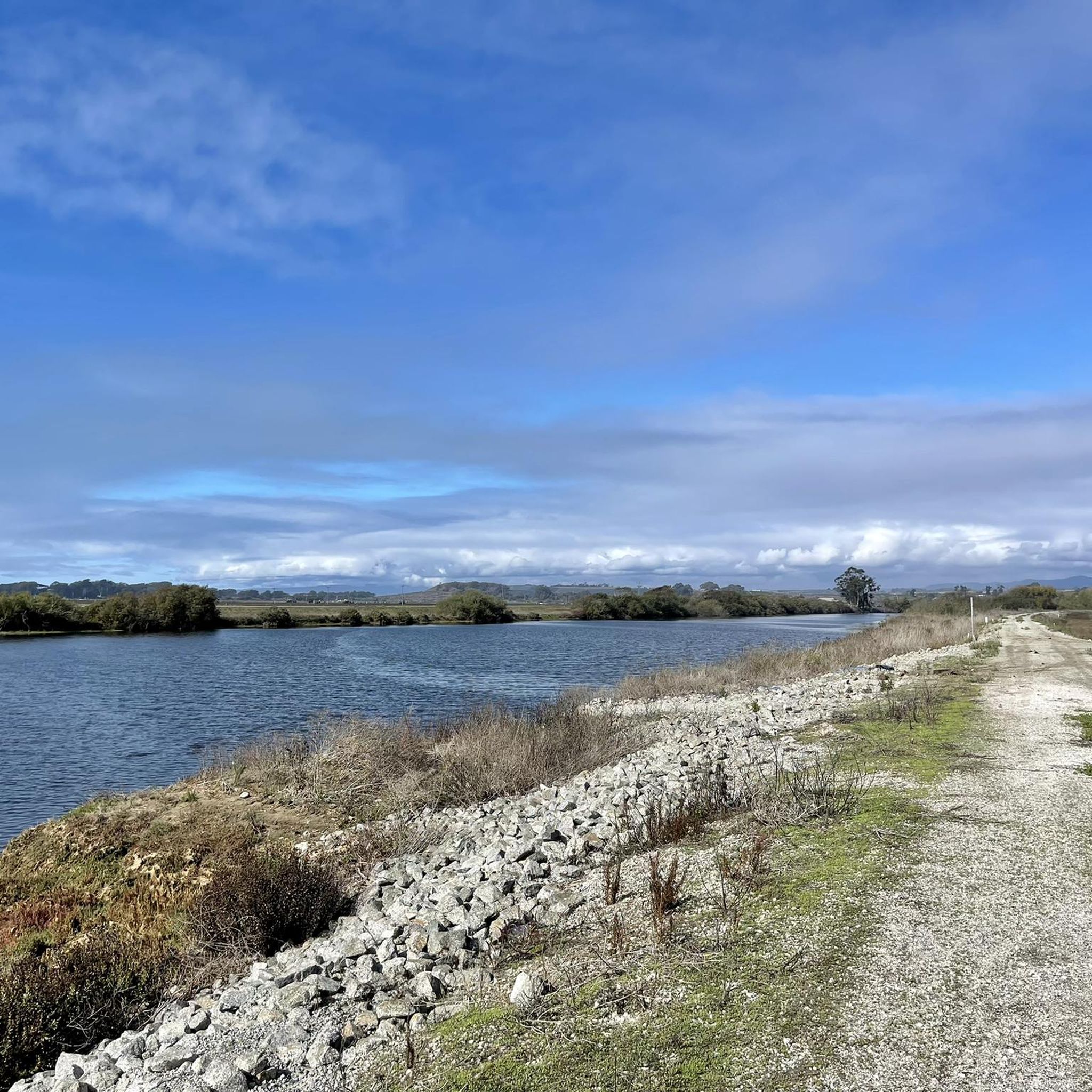
The terrain around Watsonville is incredibly varied. You'll find wide, smooth dirt paths winding along creeks and ponds in the Watsonville Wetlands, trails through dense redwood forests and rolling hills at Mount Madonna County Park, and varied landscapes including oak woodlands and meadows at Elkhorn Slough. Some trails also offer coastal access.
Are there family-friendly hiking options in Watsonville?
Absolutely. Many trails in the Watsonville area are suitable for families. The Watsonville Wetlands offer over seven miles of easily accessible, wide, smooth dirt paths perfect for all ages. Pinto Lake County Park also features a 2.7-mile loop trail with picturesque views that is suitable for all skill levels.
What are some scenic viewpoints or natural attractions to look out for?
Hikers can enjoy a variety of scenic spots. Mount Madonna County Park offers trails with scenic vistas through redwood forests. The Uvas Reservoir is a notable lake nearby. For coastal views, trails near Manresa and Sunset State Beaches are ideal. The Byrne-Milliron Forest also provides stunning views of the Pajaro Valley and Monterey Bay, and is home to 'Great White,' a 1,000-year-old redwood tree.
Are there any circular hiking routes available?
Yes, several circular routes are popular in the area. Examples include the Waterfall and Contour Trails loop in Uvas Canyon County Park, and the Mount Madonna County Park – Ridge Trail loop. Pinto Lake County Park also features a 2.7-mile loop trail.
What makes the Watsonville Wetlands unique for hiking?
The Watsonville Wetlands are a unique freshwater wetland system spanning 800 acres, offering over seven miles of trails. It's an exceptional spot for birdwatching, with over 220 species, and you might also spot muskrats, bobcats, and tree frogs. Interpretive signs along the paths provide insights into the area's natural and cultural history. You can learn more at the Wetlands of Watsonville Nature Center.
Where can I find trails through redwood forests?
For hiking through majestic redwood forests, Mount Madonna County Park is an excellent choice. Trails like the Ridge Trail loop and the White Deer Pen loop wind through these impressive trees, offering shaded areas and scenic views. The Byrne-Milliron Forest also features extensive redwood and hardwood forests.
Is there public transport access to hiking trails in Watsonville?
While specific public transport routes directly to all trailheads can vary, many trails, especially within the Watsonville Wetlands, have multiple entry points that are easily accessible from various neighborhoods within the city. For detailed local transport information, it's best to check the Santa Cruz Metro Transit District website.
What do other hikers say about the trails in Watsonville?
The hiking routes in Watsonville are highly rated by the komoot community, with an average score of 4.9 stars from over 18 reviews. Hikers often praise the diverse landscapes, from the tranquil wetlands to the majestic redwood forests, and appreciate the variety of trails suitable for different abilities.
Are there any coastal hiking opportunities near Watsonville?
Yes, Watsonville's proximity to Monterey Bay means you can enjoy coastal trails. Manresa and Sunset State Beaches offer less crowded options for walks, especially beautiful at sunset. The Monterey Bay Coastal Recreation Trail also provides additional opportunities for hiking along the coast.
Where can I find more information about local attractions in Watsonville?
For a broader overview of attractions and things to do in Watsonville beyond hiking, you can visit the official city website. Useful pages include Watsonville Attractions and Things to Do.
Most popular attractions around Watsonville

Get inspired with the komoot mobile app


Explore more
Browse the best Hikes in other regions.
