The best cycling routes around Lomita
4.5
(75)
1,287
riders
56
rides
Touring cycling routes around Lomita offer a diverse landscape for exploration, blending urban and suburban environments with natural features. The region is characterized by its varied terrain, including access to scenic coastal routes and the hilly topography of the Palos Verdes Peninsula. Cyclists can navigate through a mix of developed areas and natural bluffs, providing a range of experiences within the greater Los Angeles area.
Best touring cycling routes around Lomita
- The most popular touring cycling route is Palos Verdes…
Last updated: June 23, 2026
4.4
(8)
122
riders
37.7km
02:25
500m
500m
Hard bike ride. Very good fitness required. Mostly paved surfaces. Suitable for all skill levels.
5.0
(1)
1
riders
92.4km
05:18
210m
210m
Hard bike ride. Very good fitness required. Mostly paved surfaces. Suitable for all skill levels.

Sign up for free
2
riders
31.5km
01:50
160m
160m
Moderate bike ride. Good fitness required. Mostly paved surfaces. Suitable for all skill levels.
16.9km
01:06
190m
190m
Moderate bike ride. Good fitness required. Mostly paved surfaces. Suitable for all skill levels.
5.0
(2)
9
riders
19.9km
01:22
360m
360m
Moderate bike ride. Good fitness required. Mostly paved surfaces. Suitable for all skill levels.
Get access to more routes and recommendations from other explorers.
Sign up for free
Already have an account?
Our route recommendations are based on thousands of hikes, rides, and runs completed by other people on komoot.
Start today with a free account
Your next adventure awaits.
Login or Signup
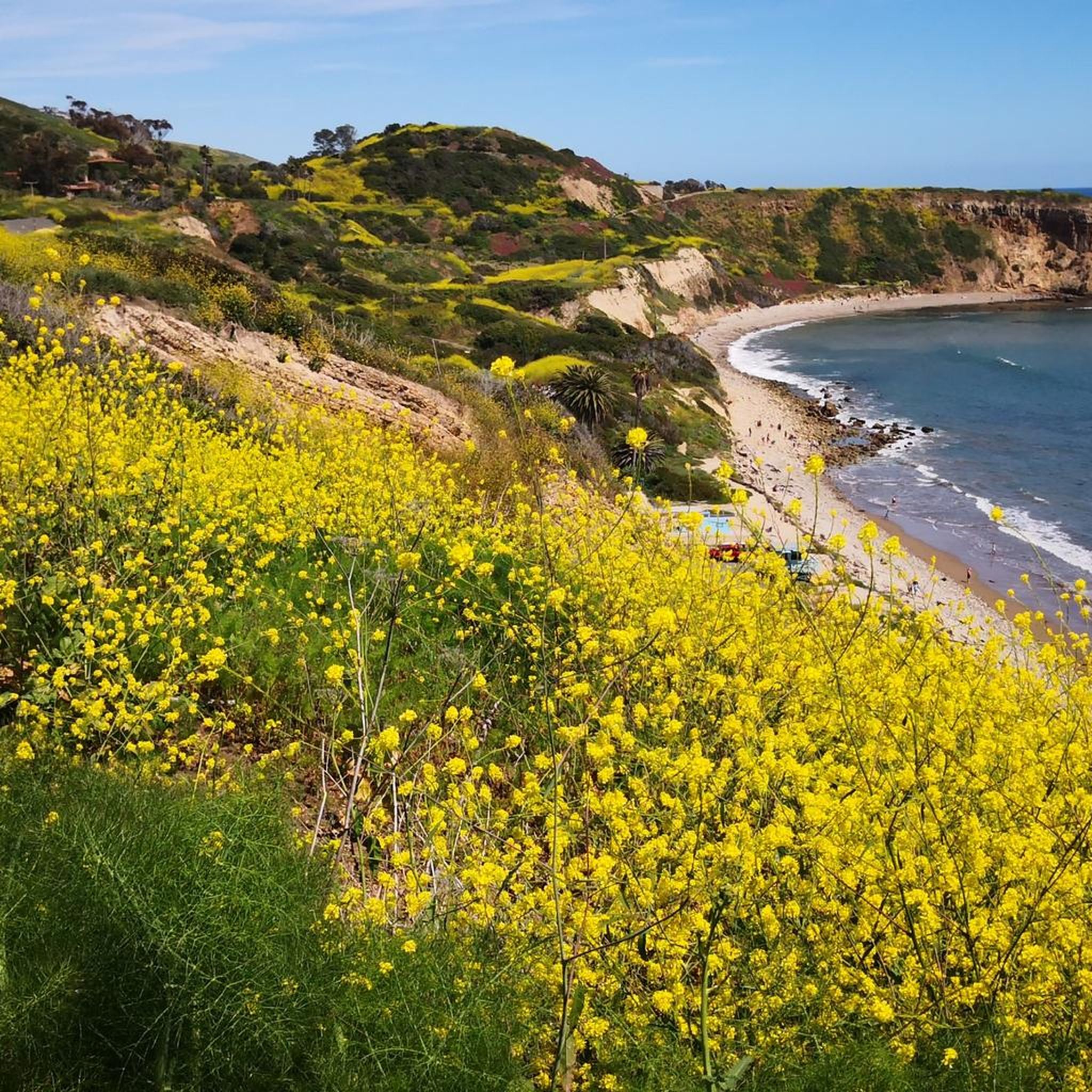
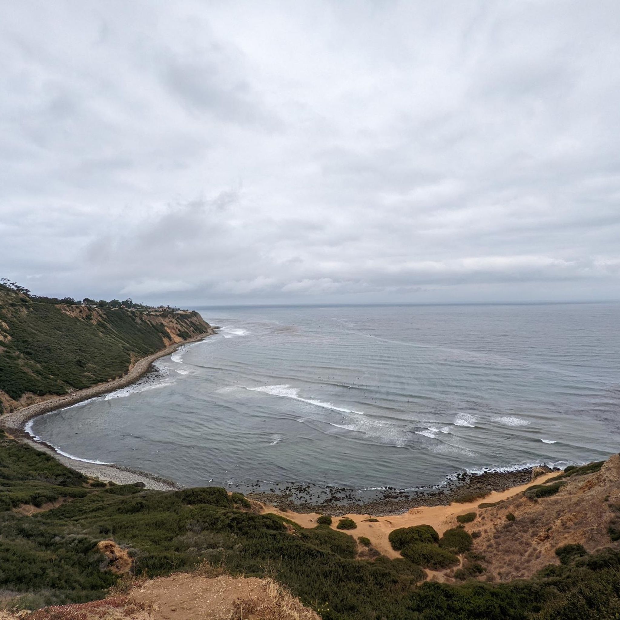
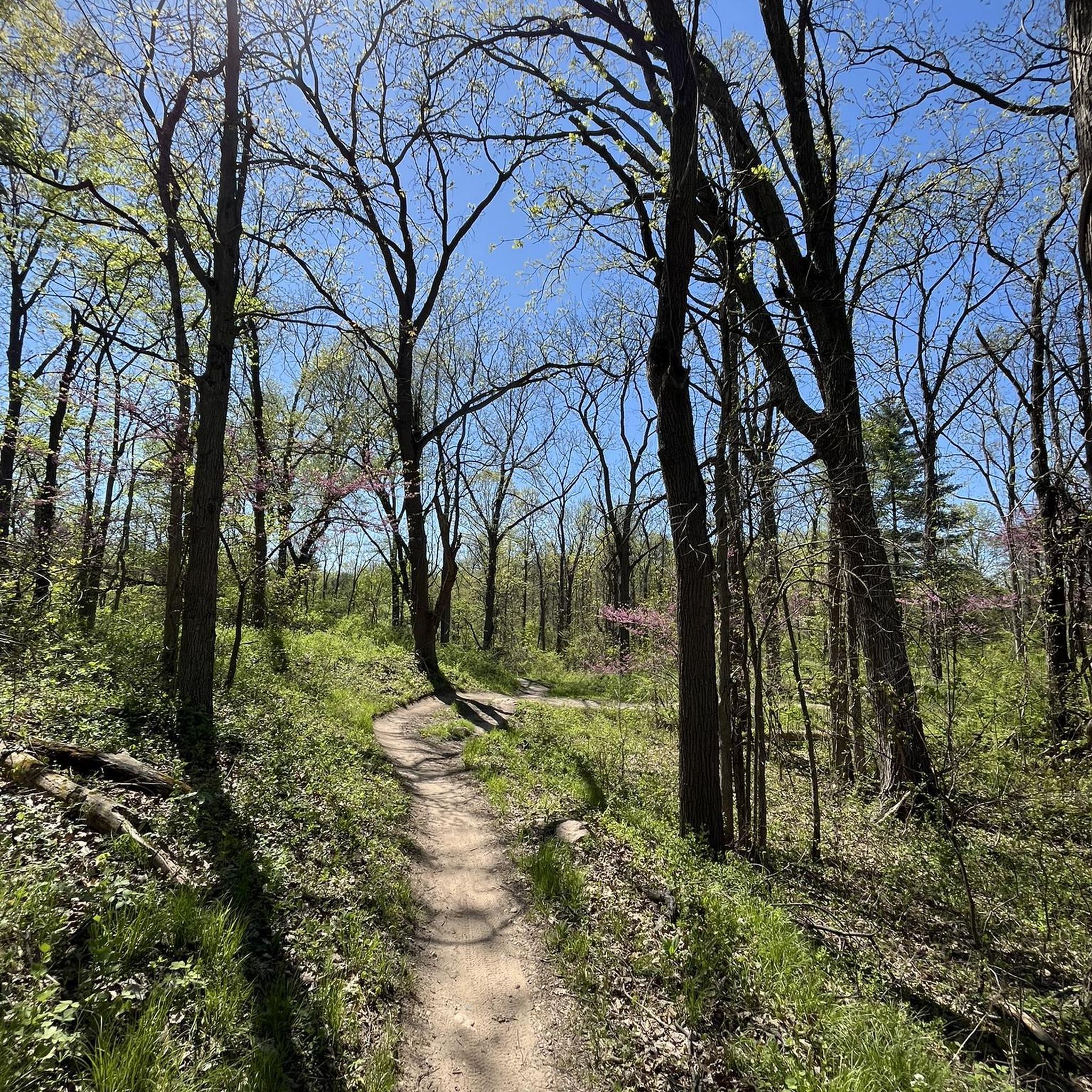
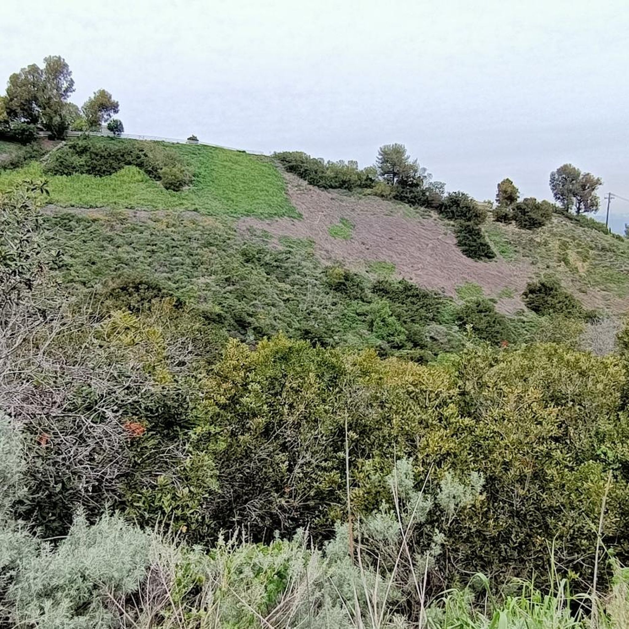
Tips from the Community

In 1936, the Federal Art Project partially funded the creation of a statue of Juan Rodriguez Cabrillo by sculptor Henry Lion at Cabrillo Beach in San Pedro. The city provided the funding for the cost of materials, while the Federal Art Project paid for the labor. Juan Rodriguez Cabrillo was a Spanish (not Portuguese as frequently surmised) explorer and the first European to reach the coast of California in 1542. Cabrillo’s life story begins when he left Palma del Rio in Andalusia for Seville as a young man to sail to the Americas. He is thought to have served the empire in Panama in 1514 and then traveled to Cuba to become involved with Hernán Cortés as a boat builder. He participated in the conquest of Guatemala, married a Spanish woman in Seville in 1532, had several children, and continued to manage his estates in Guatemala until he was commissioned by its governor, Pedro de Alvarado, to build 13 vessels for an expedition to the Philippines and California. The fleet embarked in 1542, but soon after, Alvarado’s death left three of the ships under Cabrillo’s command—San Salvador, La Victoria, and San Miguel. While the bulk of the fleet split off to cross the Pacific, Cabrillo sailed north. After landing at Ensenada on September 17, he reached San Diego and anchored at today’s Ballast Point on September 28, remaining for five days. Cabrillo encouraged his crew to have friendly exchanges with the native people of San Diego and Catalina Island, both for their own safety and in pursuit of his ultimate goal—to find a short trade route to China. His fleet visited the Channel Islands without remarkable incident until December 1542, when Cabrillo set out in a landing boat to retrieve a group of his crewmen from the rocky shore. “As he began to jump out of the boat,” wrote eyewitness Francisco de Vargas, “one foot struck a rocky ledge, and he splintered a shinbone.” Cabrillo’s condition worsened so quickly that many assume he contracted a bacterial infection from the injury. He died on January 3, 1543 and is likely buried somewhere on Catalina Island, though his final resting place remains unknown.
1
0
Torrance Beach lies between Redondo Beach and Malaga Cove. The region shared by Torrance and Redondo Beaches is often called “RAT Beach” (short for “Right After Torrance” Beach or “Redondo and Torrance Beach”). This beautiful, soft sand beach has 40 acres of beach and is at the foot of cliffs which extend to the Palos Verdes Peninsula. There restrooms, a concession stand, showers, bike path, beach wheelchairs, and volleyball nets. Torrance Beach is great for swimming, fishing, scuba and skin diving, and surfing.
1
0
Memorial to the senator 1853-1901 who succeeded to locate LA Port here in San Petro instead of Santa Monica Bay, where the powerful railroad barons wanted it.
1
0
Ocean Trails Preserve Trailhead from Palos Verdes Drive & W 25th St
1
0

Ken Malloy Harbor Regional Park 231 is a public park with a golf course, lake, and freshwater wetland. The park is a dedicated city wildlife sanctuary, so this is an ideal spot for birding.
0
0

Torrance Beach sometimes goes by another name: locals call the last sandy stretch before the Palos Verdes cliffs "RAT" Beach, meaning "Right After Torrance." Torrance Beach, nestled between Redondo Beach and Malaga Cove, features 40 acres of soft sand at the base of cliffs extending to the Palos Verdes Peninsula. With over 300 parking spaces, many at the end of the Esplinade, the beach offers restrooms, showers, a concession stand, bike paths, and volleyball nets. It's a popular spot for swimming, fishing, scuba diving, and surfing.
0
0
Miramar Park, located on 1.6 acres above Torrance Beach, offers pristine ocean views and easy access to the shoreline via a ramp or staircase. Owned and maintained by the City of Torrance, the park was dedicated in 1984 after a collaborative effort with Los Angeles County to secure beach access. It features benches, security lighting, whimsical animal statues, and a plaque marking the historic site of the Hollywood Riviera Beach Club, which existed from 1931 to 1958. The park also includes a “Fido Fountain” for dogs and marks the end of the upper Esplanade.
0
0

The Ballona Creek Bike Path connects Syd Kronenthal Park with Venice Beach, following Ballona Creek the entire way. The path is partially shaded and well-connected, passing by the Ballona Wetlands Ecological Reserve and leading you to Marina del Rey.
0
0
Frequently Asked Questions
How many touring cycling routes are available around Lomita?
There are over 45 touring cycling routes around Lomita, offering a diverse range of experiences. These include 11 easy routes, 21 moderate routes, and 14 difficult routes, catering to various fitness levels and preferences.
What kind of terrain can I expect on touring cycling routes near Lomita?
Touring cycling routes near Lomita feature a varied landscape, blending urban and suburban environments with natural features. You can expect access to scenic coastal routes, the hilly topography of the Palos Verdes Peninsula, and a mix of developed areas and natural bluffs. The region offers challenging climbs and rewarding descents, particularly around the Palos Verdes Peninsula.
Are there any family-friendly touring cycling routes in Lomita?
Yes, Lomita offers several easy touring cycling routes suitable for families. While specific family-focused routes aren't detailed, the 11 easy routes available provide gentler terrain for a more relaxed ride. For example, the Ken Malloy Regional Park loop is a moderate 19.5-mile trail through a regional park, which could be suitable for families with some cycling experience.
Which routes offer the best coastal views around Lomita?
Many routes around Lomita provide stunning coastal views, especially those traversing the Palos Verdes Peninsula. The Palos Verdes Drive Loop is renowned for its sweeping coastal vistas. Another option is the San Pedro seafront loop from North Pacific Avenue, which offers a moderate ride along the coast.
Are there any challenging routes for experienced touring cyclists?
Absolutely. Lomita and its surroundings offer 14 difficult routes for experienced touring cyclists. The Palos Verdes Drive Loop is a challenging 23.4-mile route with significant elevation gain. Another demanding option is the Los Angeles River and South Bay Bike Loop, a difficult 57.4-mile path exploring urban landscapes and coastal views.
What are some interesting landmarks or attractions I can see along the touring cycling routes?
Along your touring cycling routes, you can discover various attractions. Notable natural features include Bluff Cove, a scenic rocky area popular for water activities, and Torrance Beach, perfect for a break. You might also spot the historic Point Vicente Lighthouse or enjoy views from Miramar Park.
Are there any loop routes for touring cyclists in the Lomita area?
Yes, many touring cycling routes around Lomita are designed as loops, allowing you to start and end at the same point. Examples include the Palos Verdes Drive Loop, the Los Angeles River and South Bay Bike Loop, and the Ken Malloy Regional Park loop. These circular routes offer convenient exploration of the region.
What do other touring cyclists say about the routes in Lomita?
The touring cycling routes in Lomita are highly regarded by the komoot community, with an impressive average rating of 4.7 stars from over 140 reviews. Cyclists often praise the diverse terrain, the stunning coastal views, and the blend of urban and natural landscapes that make each ride unique and rewarding.
What is the best season for touring cycling in Lomita?
Lomita benefits from a mild climate, making touring cycling enjoyable for much of the year. The 'cool Pacific Ocean breeze' can be a welcome relief during rides, especially in warmer months. Spring and fall generally offer the most comfortable temperatures for longer rides, though winter can also be pleasant with less heat.
Are there any routes that connect to longer bike trails?
Yes, the Lomita area provides connections to longer bike trails. The Coast Highway Protected Trail parallels the Pacific Coast Highway, and there are connections to trails like the Aliso Creek Riding and Hiking Trail and the Santa Clara River Trail, allowing for extended touring adventures beyond the immediate Lomita vicinity.
Can I find routes that combine urban exploration with natural scenery?
Many routes around Lomita offer a unique blend of urban and natural landscapes. The Los Angeles River and South Bay Bike Loop is a prime example, allowing cyclists to explore urban areas while also enjoying coastal views. The region's location at the foothills of the Palos Verdes Peninsula naturally integrates both environments into its cycling paths.
What is the longest touring cycling route available from Lomita?
One of the longest touring cycling routes from Lomita is the Venice Beach Bike Path – El Segundo Beach loop from Lomita, which spans approximately 58.6 miles (94.3 km). This difficult route offers a substantial challenge and takes around 5 hours and 32 minutes to complete.
Most popular routes around Lomita
Most popular attractions around Lomita

Get inspired with the komoot mobile app


Explore more
Browse the best Cycling routes in other regions.
