The best running trails around West Covina
3.9
(17)
764
runners
77
runs
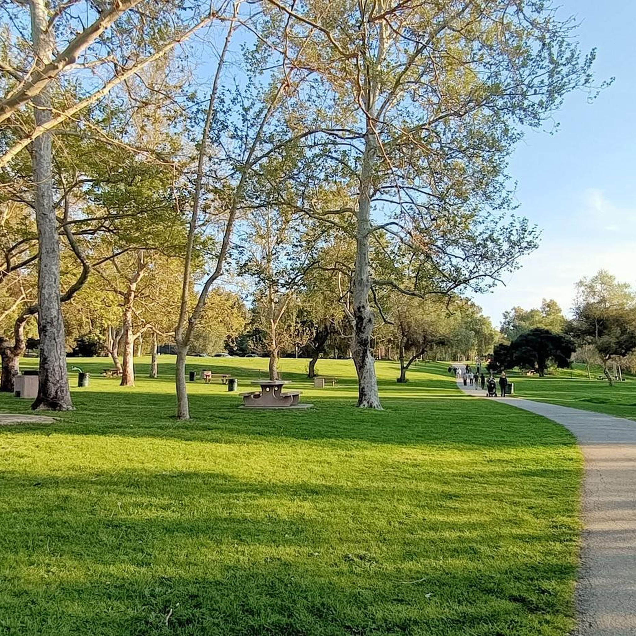
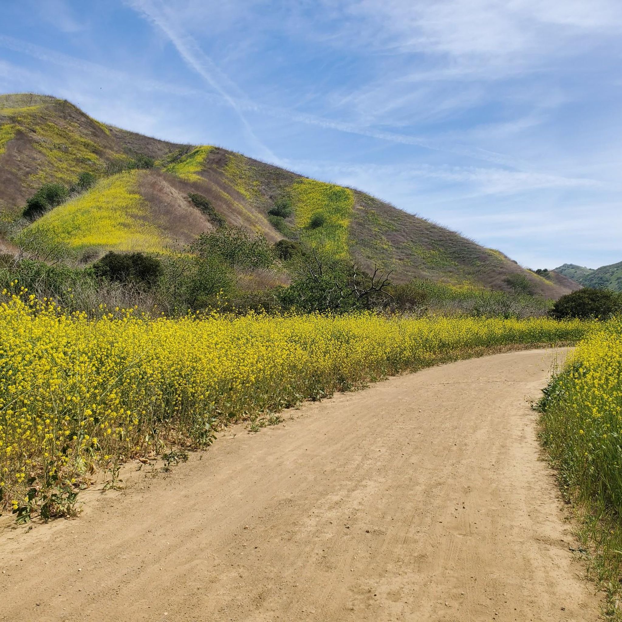
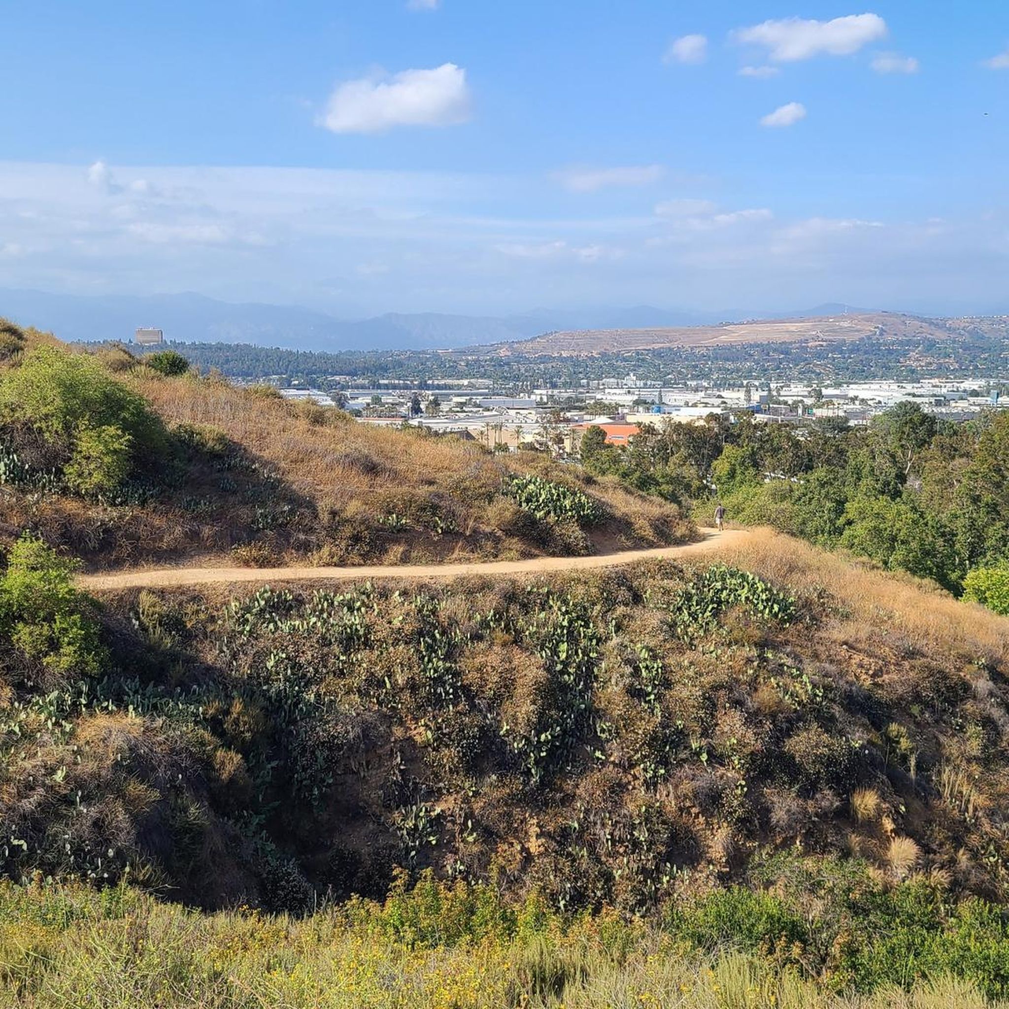
Jogging routes around West Covina offer a blend of urban green spaces and access to natural landscapes. The region is characterized by its proximity to the San Gabriel Mountains, providing a scenic backdrop for many running routes. Extensive trail systems are found within Frank G. Bonelli Regional Park, which encompasses Puddingstone Reservoir, and along the San Gabriel River Greenway. Local parks also provide accessible options for daily running.
Best jogging routes around West Covina
- The most popular jogging route is California Black Walnut Trees loop from Mount San Antonio College, a 4.6 miles (7.4 km) trail that takes about 45 minutes to complete. This route offers varied terrain near the college campus.
- Another top favourite among local runners is Running loop from Country Hollow Park, a moderate 3.7 miles (6.0 km) path. This route features local park scenery and residential areas.
- Local runners also love the Running loop from Three Oaks, a 3.4 miles (5.5 km) trail leading through local neighborhoods and green spaces, often completed in about 45 minutes.
- Jogging around West Covina is defined by its local parks, the San Gabriel River Greenway, and views of the San Gabriel Mountains. The network offers options for easy, moderate, and difficult running, catering to various ability levels.
- The routes in West Covina are highly rated by the komoot community with an average score of 4.5 stars from more than 10 reviews. More than 500 runners have used komoot to explore West Covina's varied terrain.
Last updated: June 27, 2026
58
runners
7.38km
00:48
70m
70m
Moderate run. Good fitness required. Mostly paved surfaces. Suitable for all skill levels.
2.0
(1)
7
runners
6.03km
00:45
150m
160m
Moderate run. Good fitness required. Mostly paved surfaces. Suitable for all skill levels.

Sign up for free
2.0
(1)
7
runners
5.54km
00:44
150m
150m
Moderate run. Good fitness required. Mostly paved surfaces. Suitable for all skill levels.
7
runners
14.4km
01:33
60m
60m
Moderate run. Good fitness required. Mostly paved surfaces. Suitable for all skill levels.
3
runners
8.92km
00:59
110m
110m
Moderate run. Good fitness required. Mostly paved surfaces. Suitable for all skill levels.
Get access to more routes and recommendations from other explorers.
Sign up for free
Already have an account?
Our route recommendations are based on thousands of hikes, rides, and runs completed by other people on komoot.
Start today with a free account
Your next adventure awaits.
Login or Signup
Tips from the Community

Santa Fe Flood Control Basin is a recreation area in the empty reservoir behind the Santa Fe Dam. You can see and access this area from the San Gabriel River Greenway, a 35.4-mile paved, multi-use path that parallels the San Gabriel River.
1
0
Frequently Asked Questions
How many running routes are available in West Covina?
West Covina offers a wide selection of running routes, with over 60 trails available for exploration. These routes cater to various preferences, from urban green spaces to paths with natural landscapes.
What are the difficulty levels of running trails in West Covina?
The running trails around West Covina offer a good mix of difficulty levels. You'll find approximately 6 easy routes, 46 moderate routes, and 16 more challenging trails, ensuring options for all fitness levels.
What do other runners say about the trails in West Covina?
The running routes in West Covina are highly regarded by the komoot community, boasting an average rating of 4.5 stars from over 10 reviews. Many runners praise the varied terrain and the scenic views, especially those routes offering glimpses of the San Gabriel Mountains.
Are there running routes with mountain views in West Covina?
Yes, many running routes in and around West Covina offer scenic views of the majestic San Gabriel Mountains. For example, areas like San Dimas Canyon Park and Frank G. Bonelli Regional Park provide excellent backdrops for your run.
Can I find running trails near water in West Covina?
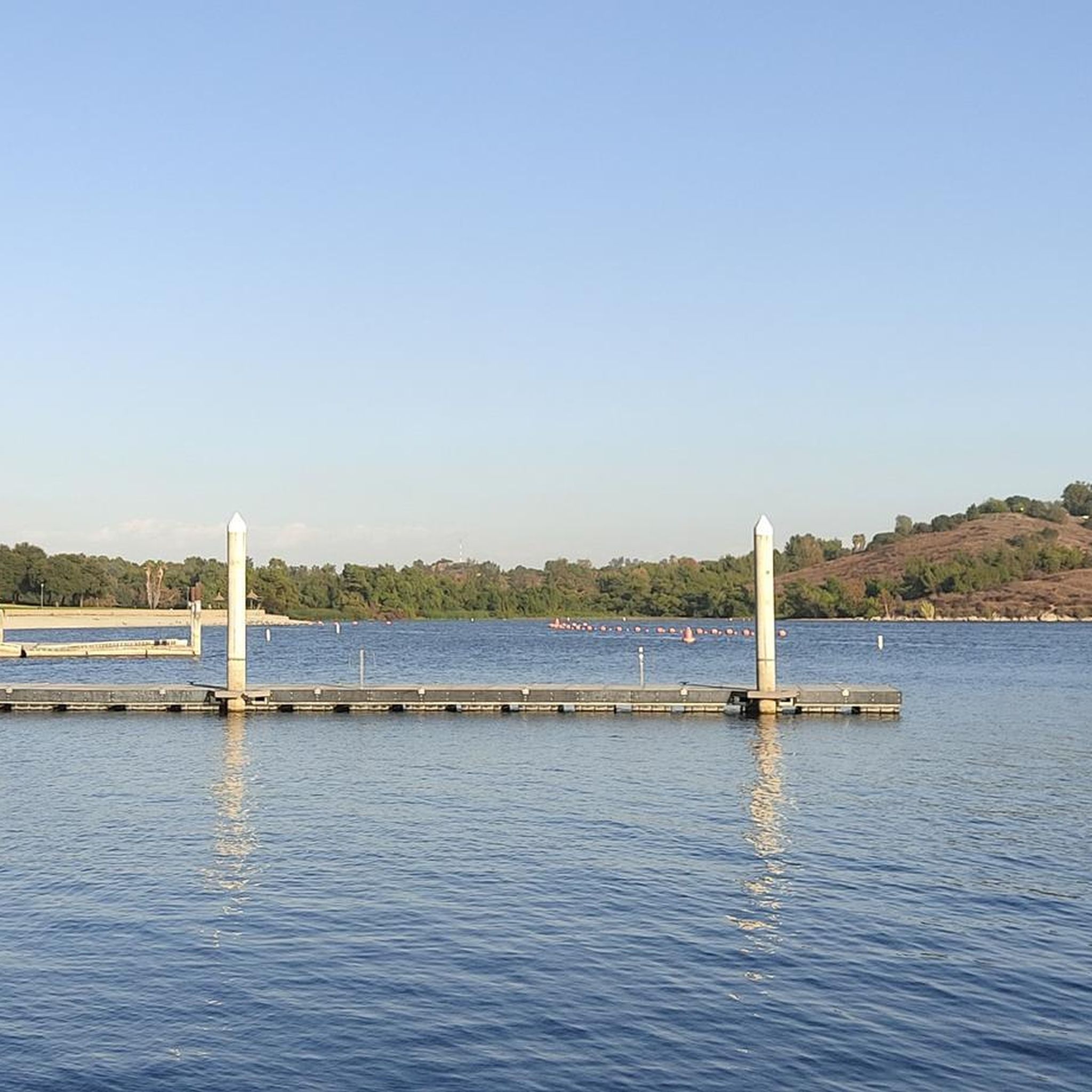
Absolutely! West Covina is close to several beautiful water features. You can find extensive trails around Puddingstone Reservoir within Frank G. Bonelli Regional Park, and the San Gabriel River Greenway offers a long, paved path alongside the river. The Whittier Narrows Recreation Area also features trails around Legg Lake.
Are there any trails with waterfalls near West Covina?
For those seeking a more rugged run with a rewarding view, the Eaton Canyon Natural Area, though a short drive, offers trails that lead to beautiful waterfalls, providing a challenging and visually stunning experience.
Are there any family-friendly running paths in West Covina?
Many local parks in West Covina, such as West Covina Civic Center Park and West Covina Community Park, offer easily accessible and well-maintained green spaces perfect for family-friendly jogs. The San Gabriel River Greenway is also a great option with its paved, flat surface suitable for all ages.
Are there dog-friendly running trails in West Covina?
Yes, many parks and trails in West Covina are dog-friendly, though leash laws typically apply. Frank G. Bonelli Regional Park and the San Gabriel River Greenway are popular choices where you can enjoy a run with your canine companion.
Are there long-distance running options in West Covina?
For longer runs, the San Gabriel River Greenway is an excellent choice, offering a dedicated, paved multi-use path stretching over 35 miles. You can also combine loops within Frank G. Bonelli Regional Park for extended distances. Consider the Santa Fe Flood Control Basin loop from Irwindale for a moderate 9-mile run.
Are there shaded running routes in West Covina?
While many routes offer open views, parks like Galster Wilderness Park and sections of Frank G. Bonelli Regional Park provide more natural, tree-lined trails that can offer shade, especially during warmer parts of the day. Local community parks also often have mature trees providing cover.
Are there circular running routes available?
Yes, West Covina has several excellent circular running routes. Popular options include the California Black Walnut Trees loop from Mount San Antonio College, the Running loop from Country Hollow Park, and the Running loop from Three Oaks.
What about parking for running trails in West Covina?
Most major parks and trailheads in West Covina, such as Frank G. Bonelli Regional Park and various community parks, offer designated parking facilities. For routes along the San Gabriel River Greenway, you can often find parking at access points or nearby recreational areas like the Santa Fe Flood Control Basin.
Can I reach running trails using public transport in West Covina?
West Covina's public transportation system, Foothill Transit, serves various parts of the city, potentially offering access to some local parks and trailheads. For routes like those along the San Gabriel River Greenway, checking local bus routes for stops near access points would be advisable.
Most popular attractions around West Covina

Get inspired with the komoot mobile app


Explore more
Browse the best Running Trails & Routes in other regions.
