The best cycling routes around West Covina
4.4
(46)
1,061
riders
62
rides
Touring cycling around West Covina, California, benefits from its location near the San Gabriel Mountains, offering a diverse range of routes. The region features dedicated bike paths like the San Gabriel River Trail and the Duarte Bike Trail, providing varied terrain for cyclists. Natural features such as the Puddingstone Reservoir and the San Gabriel River are incorporated into many routes, enhancing the cycling experience. The area's landscape includes both challenging mountain ascents and more moderate, flatter paths.
Best touring cycling…
Last updated: June 29, 2026
4.5
(2)
61
riders
58.8km
04:22
1,300m
1,300m
Prepare for a challenging touring bicycle adventure on the San Gabriel Canyon Road loop. This difficult route spans 36.6 miles (58.8 km) and demands a significant 4251 feet (1296 metres)…
6
riders
107km
08:06
2,710m
2,710m
This difficult 66.3-mile touring cycling route in Angeles National Forest features 8878 feet of elevation gain and panoramic mountain views.

Sign up for free
4.8
(5)
52
riders
Easy bike ride. Great for any fitness level. Mostly paved surfaces. Suitable for all skill levels.
5.0
(1)
17
riders
Easy bike ride. Great for any fitness level. Mostly paved surfaces. Suitable for all skill levels.
20
riders
64.8km
04:20
940m
940m
Hard bike ride. Very good fitness required. Mostly paved surfaces. Suitable for all skill levels.
Get access to more routes and recommendations from other explorers.
Sign up for free
Already have an account?
Our route recommendations are based on thousands of hikes, rides, and runs completed by other people on komoot.
Start today with a free account
Your next adventure awaits.
Login or Signup

Tips from the Community

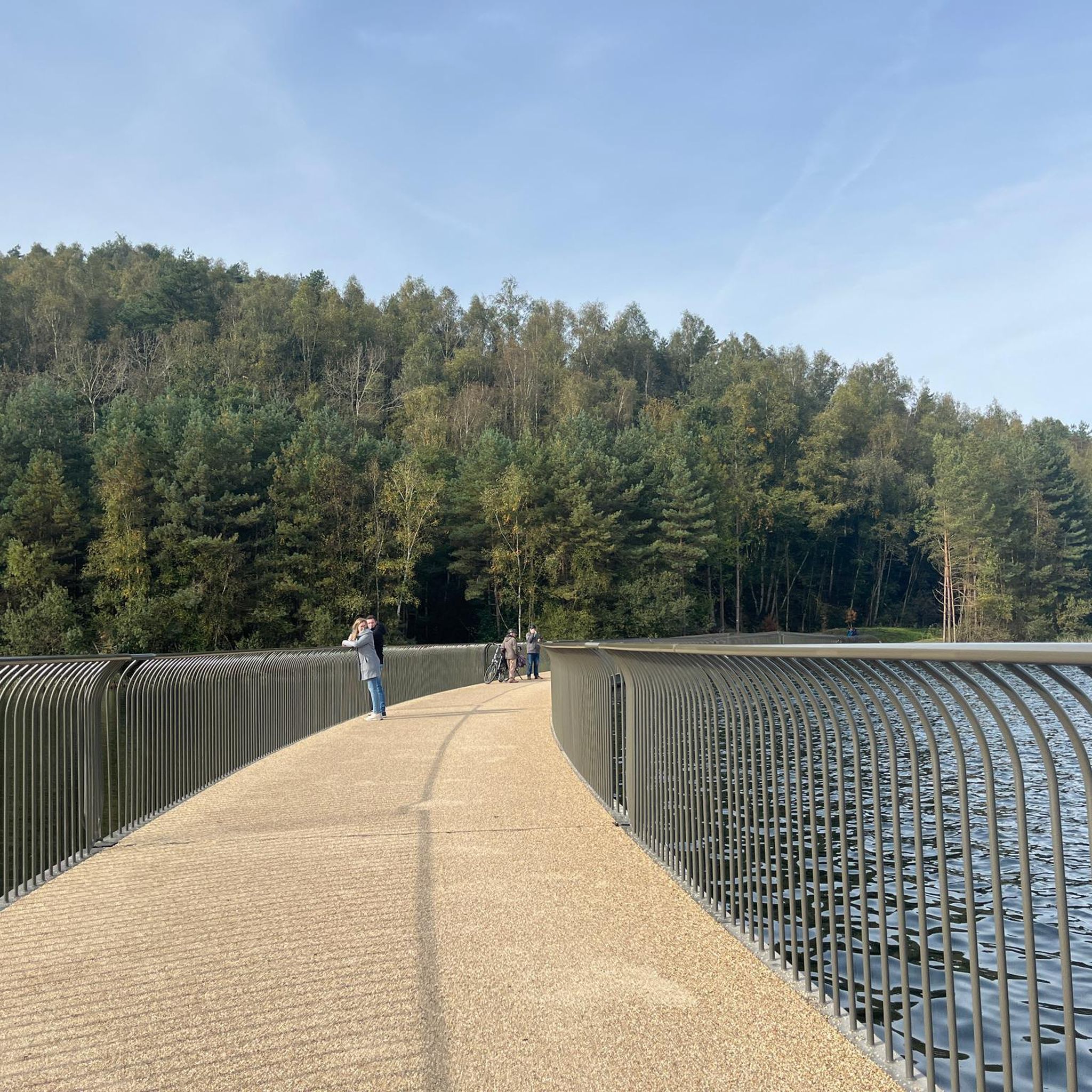
You can cycle across the top of the dam, which was constructed in 1928 to help control flooding in the region. It stands at 147 feet high, and today supports a myriad of outdoor recreation activities on the reservoir.
0
0

Nice bike path. not much roads to cross. some are hilly but doable for newbies. It's our first time and we had a good time. just some areas are with a lot of homeless people, esp. the tunnels.
0
0

Great view from the cycle path of the San Gabriel Mountains in the distance.
0
0

One of the best dedicated bike trails in the LA area, leading from the San Gabriel mountains north of Azuza along a car free paved river route all the way to Seal beach
1
0
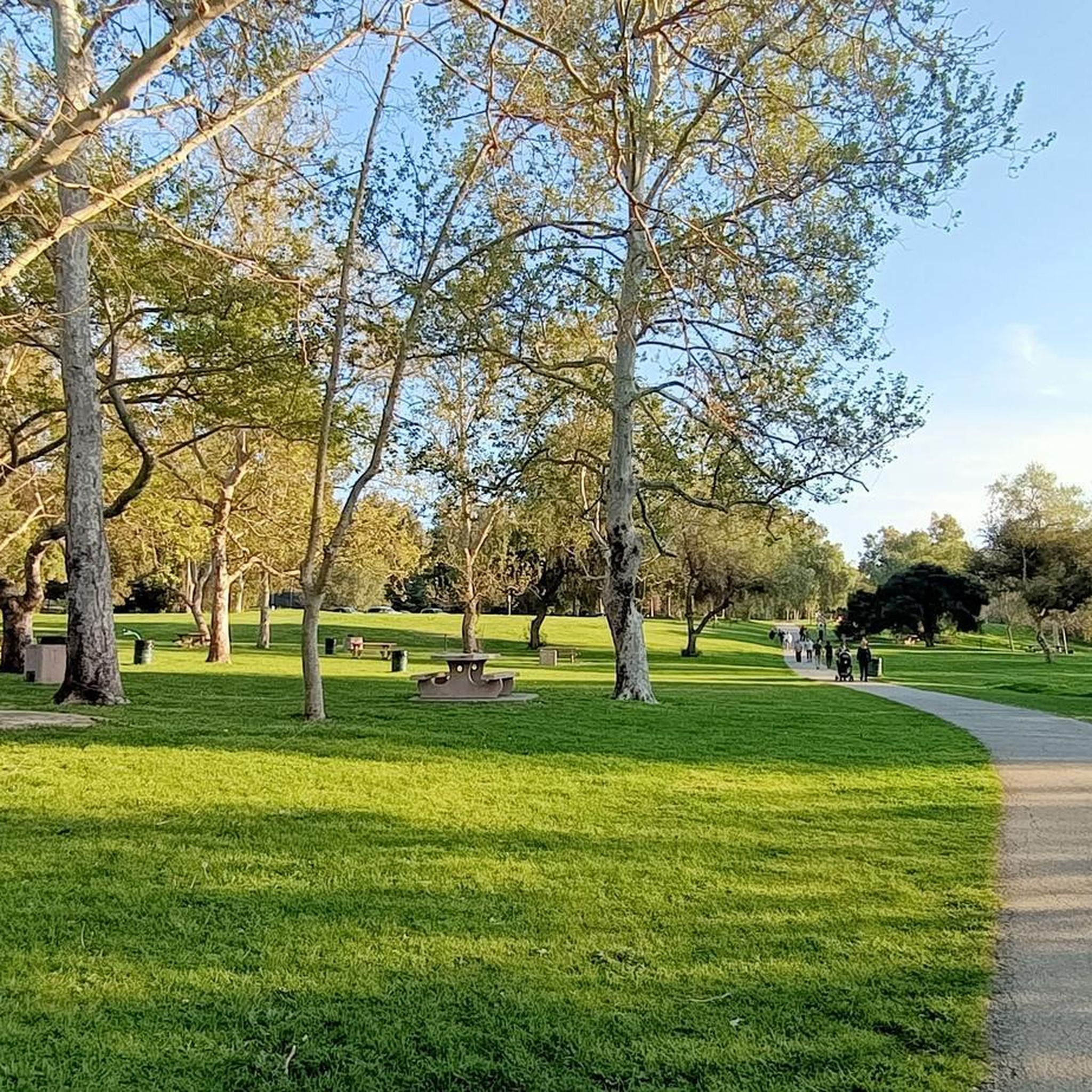
Leafy park with lawns and shaded seating, restrooms, drinking water fountains, and a bike repair station. Great for a break or as trailhead to ride west along the dedicated Duarte Bike Trail, a multi-purpose trail that was founded in 1977. It stretches 1.6 miles from Royal Oaks Park at Vineyard Avenue to Buena Vista Avenue. Next to the paved cycling path runs a dirt jogging and equestrian trail shaded by oak trees. The gently sloped trail follows the historic Pacific Electric Railway route, passing an arched bridge that once carried Red Trolley Cars to Los Angeles.
1
0
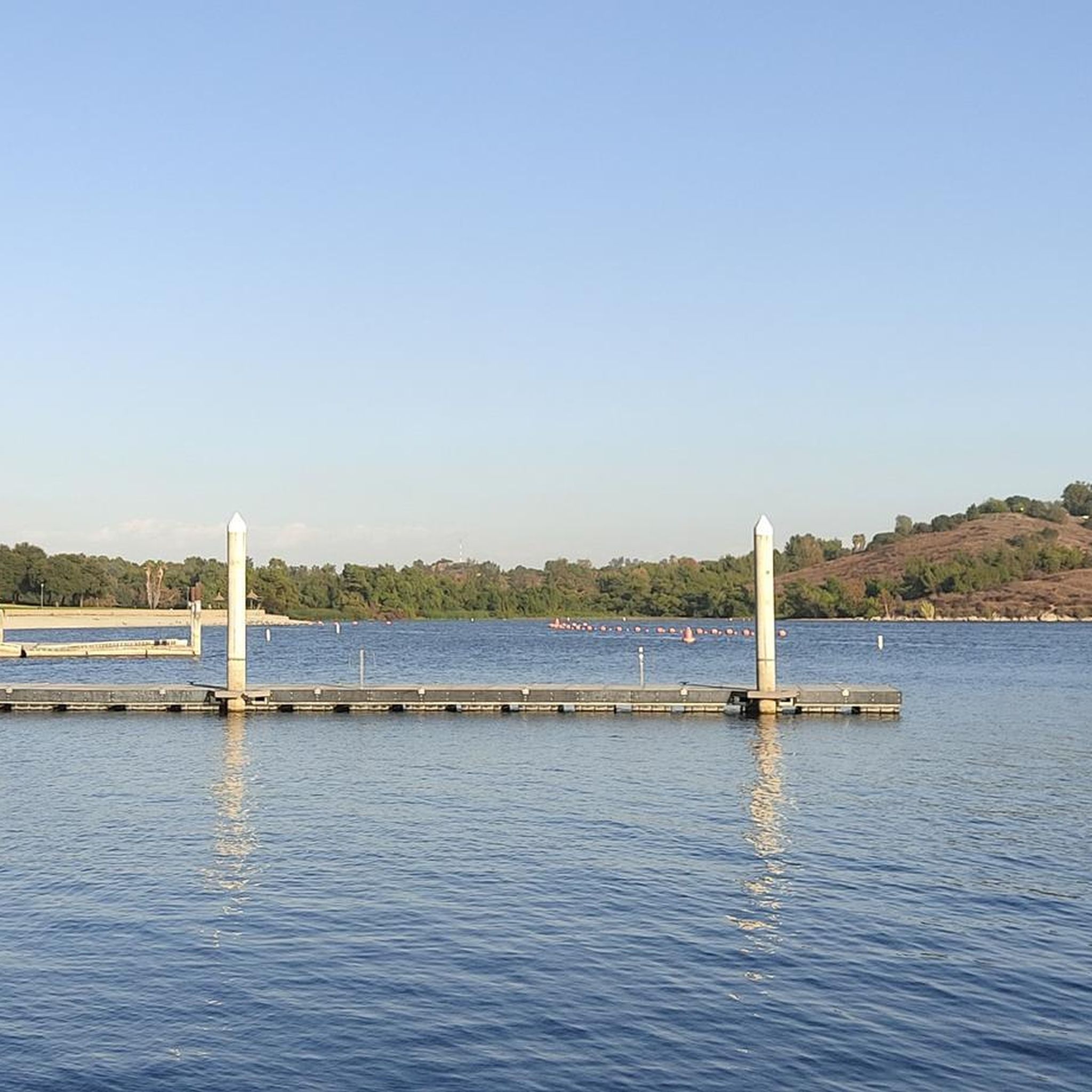
Great view of the Puddingstone Reservoir, a 250-acre man-made body of water. There is a road that runs along the perimeter of the reservoir and there is a spot to pull off the road to get a close up view of the water.
0
0

Hear a plane coming in for a landing? You're experiencing air traffic from Brackett Field Airport. This airport is over 100 years old; it was established in 1911 and is one of the oldest operating airports in the Los Angeles area. There are only two runways here, and this small airport is a hub for flight training schools, charter services, and recreational flying.
0
1

The San Gabriel River Greenway is a 35.4-mile paved path that is known as an easy spot to ride. The trail parallels the San Gabriel River.
0
0
Frequently Asked Questions
How many touring cycling routes are available around West Covina?
There are over 50 touring cycling routes available around West Covina, offering a wide variety of experiences for cyclists of all levels. These routes are highly rated by the komoot community, with an average score of 4.4 stars from more than 40 reviews.
Are there touring cycling routes suitable for beginners in West Covina?
Yes, West Covina offers several easy touring cycling routes perfect for beginners. For instance, the View of San Gabriel Mountains loop from Azusa is an easy 11.2-mile (18.0 km) path that provides scenic views without significant elevation gain, making it a great option to start.
What options are there for experienced touring cyclists seeking a challenge?
Experienced touring cyclists looking for a challenge will find several difficult routes with significant elevation gain. The San Gabriel Canyon Road & Mt Baldy loop from Lario Staging Area is a demanding 66.3-mile (106.7 km) path featuring extensive climbing and scenic views towards Mt Baldy. Another challenging option is the San Gabriel Canyon Road loop from Lario Staging Area, which covers 36.5 miles (58.8 km) with substantial elevation through the San Gabriel Canyon.
What natural features or landmarks can I expect to see while cycling around West Covina?
Cycling around West Covina offers views of the dramatic San Gabriel Mountains and incorporates natural features like the San Gabriel River and the Puddingstone Reservoir. You might encounter highlights such as the Duarte Bike Trail, the Turnbull Canyon, or the View of Puddingstone Reservoir. The region also features parks like Frank G. Bonelli Regional Park and Santa Fe Dam Recreation Area, which offer additional scenic beauty.
Are there any scenic loop routes around West Covina?
Yes, West Covina has several scenic loop routes. A popular choice is the Puddingstone Dam loop from Life Pacific University, a 10.2-mile (16.4 km) route that circles the area around Puddingstone Reservoir, offering pleasant views of the water and surrounding landscape.
Are there family-friendly touring cycling routes in the West Covina area?
Many of the easier routes around West Covina are suitable for families, especially those on dedicated bike paths. The region's parks and trails, such as sections of the San Gabriel River Trail or the Duarte Bike Trail, provide safer, often paved, environments away from vehicle traffic, ideal for family outings. Always check the route's difficulty and terrain to ensure it matches your family's skill level.
What is the best time of year for touring cycling in West Covina?
The best time for touring cycling in West Covina is generally during the spring and fall months when temperatures are mild and comfortable. Summers can be hot, especially for longer rides, while winters are typically mild but can bring occasional rain. Checking local weather forecasts before your ride is always recommended.
Are there options for parking near the touring cycling routes?
Yes, many touring cycling routes in and around West Covina offer accessible parking. Major parks like Frank G. Bonelli Regional Park and Santa Fe Dam Recreation Area, as well as various trailheads, typically provide designated parking areas for visitors. It's advisable to check specific route details for parking information before heading out.
Can I access touring cycling routes in West Covina using public transport?
While some areas of West Covina are served by public transport, direct access to all trailheads via public transport might be limited. Cyclists often use a combination of personal vehicles or ride-sharing services to reach the starting points of more remote or extensive touring routes. For routes closer to urban centers, public transport might be a viable option.
Are there any long-distance touring cycling routes available?
Yes, for those seeking longer distances, routes like the San Gabriel Canyon Road & Mt Baldy loop from Lario Staging Area offer a substantial 66.3 miles (106.7 km) of cycling. The extensive network of trails, including the San Gabriel River Trail, also allows for combining sections to create longer, customized touring experiences.
What kind of terrain can I expect on touring cycling routes in West Covina?
The terrain for touring cycling in West Covina is quite varied. You can find dedicated paved bike paths like the Duarte Bike Trail and sections of the San Gabriel River Trail, which are generally flat. However, routes extending into the San Gabriel Mountains, such as the San Gabriel Canyon Road loop, feature significant elevation changes and challenging climbs, offering a diverse cycling experience.
Most popular attractions around West Covina

Get inspired with the komoot mobile app


Explore more
Browse the best Cycling routes in other regions.
