The best walks and hikes around Duarte
4.8
(37)
589
hikers
58
hikes
Hiking around Duarte offers access to the foothills of the San Gabriel Mountains and the expansive Angeles National Forest. The region is characterized by rugged terrain, canyons, and diverse plant and animal life, providing varied landscapes for outdoor exploration. Hikers can experience significant elevation changes, forested paths, and natural features such as Fish Canyon Falls.
Best hiking trails around Duarte
- The most popular hiking route is Sturtevant Falls Trail, an easy 3.1 miles (5.0 km) trail that takes 1 hour 33 minutes to complete, leading to the scenic Sturtevant Falls.
- Another top favourite among local hikers is Mount Wilson via Sturtevant Trail loop — Angeles National Forest, a difficult 12.0 miles (19.3 km) path offering extensive views within the Angeles National Forest.
- Local hikers also love the Mt. Zion loop — Angeles National Forest, a 12.5 miles (20.0 km) trail leading through the San Gabriel Mountains, often completed in about 7 hours 5 minutes.
- Hiking around Duarte is defined by its proximity to the San Gabriel Mountains, the Angeles National Forest, and notable waterfalls like Fish Canyon Falls. The network offers options for different ability levels, from easy multi-purpose paths to challenging mountain ascents.
- The routes in Duarte are highly rated by the komoot community with an average score of 4.8 stars from over 30 reviews. More than 500 hikers have used komoot to explore Duarte's varied terrain.
Last updated: May 12, 2026
2
hikers
2.17km
00:41
120m
10m
Easy hike. Great for any fitness level. Easily-accessible paths. Suitable for all skill levels.
2
hikers
2.99km
00:46
20m
10m
Easy hike. Great for any fitness level. Easily-accessible paths. Suitable for all skill levels.

Sign up for free
7.78km
01:59
30m
20m
Easy hike. Great for any fitness level. Easily-accessible paths. Suitable for all skill levels.
701m
00:11
0m
0m
Easy hike. Great for any fitness level. Easily-accessible paths. Suitable for all skill levels.
16
hikers
8.26km
02:30
280m
280m
Moderate hike. Good fitness required. Easily-accessible paths. Suitable for all skill levels.
Get access to more routes and recommendations from other explorers.
Sign up for free
Already have an account?
Our route recommendations are based on thousands of hikes, rides, and runs completed by other people on komoot.
Start today with a free account
Your next adventure awaits.
Login or Signup

Tips from the Community

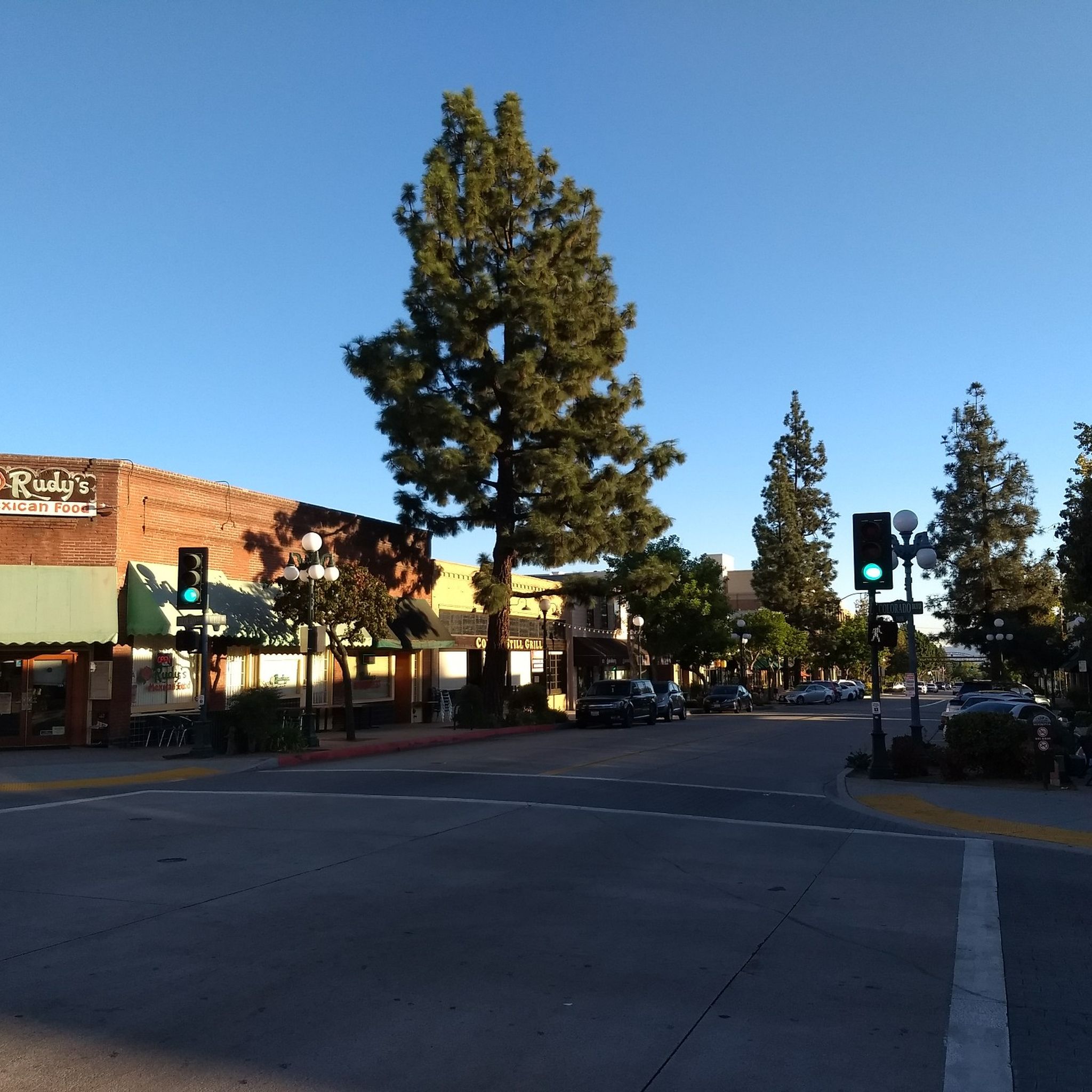
Mostly smooth fire road through Monrovia Hillside Wilderness, but with some steep and technical sections that might challenge beginners. Ride counterclockwise from Canyon Park and follow the signs—many side trails cross private land. The descent includes tight switchbacks and a short singletrack section. You can stick to the main road or take the “advanced” trail, Cactus Road, for more climbs, exposure, and a fun technical finish.
0
0

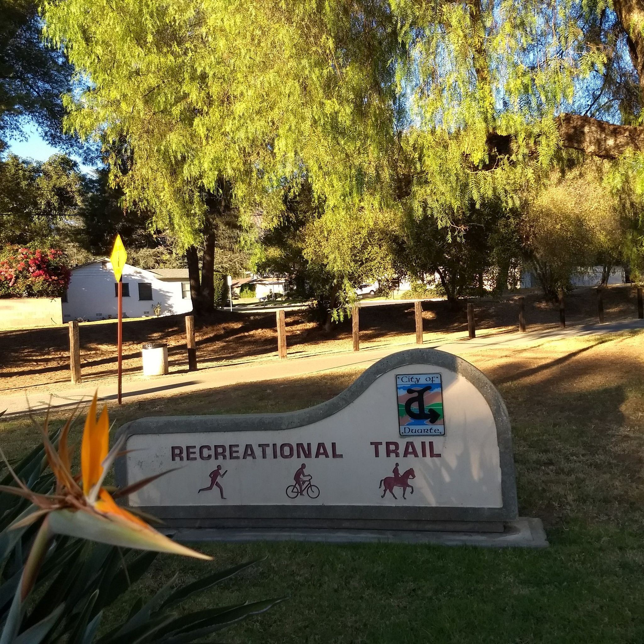
Leafy park with lawns and shaded seating, restrooms, drinking water fountains, and a bike repair station. Great for a break or as trailhead to ride west along the dedicated Duarte Bike Trail, a multi-purpose trail that was founded in 1977. It stretches 1.6 miles from Royal Oaks Park at Vineyard Avenue to Buena Vista Avenue. Next to the paved cycling path runs a dirt jogging and equestrian trail shaded by oak trees. The gently sloped trail follows the historic Pacific Electric Railway route, passing an arched bridge that once carried Red Trolley Cars to Los Angeles.
1
0
Frequently Asked Questions
How many hiking trails are available around Duarte?
Duarte offers a wide selection of hiking opportunities, with over 35 routes available. These trails range from easy walks to challenging mountain ascents, catering to various skill levels.
What kind of terrain can I expect on Duarte's hiking trails?
The trails around Duarte are primarily situated in the foothills of the San Gabriel Mountains and within the Angeles National Forest. You can expect rugged terrain, canyons, and diverse plant life. Many routes feature significant elevation changes, offering both forested paths and panoramic views of the San Gabriel Valley.
Are there any waterfalls I can hike to in Duarte?
Yes, Duarte is home to notable waterfalls. You can hike to the spectacular Fish Canyon Falls, a tiered waterfall within the San Gabriel Mountains National Monument that typically maintains a reliable flow year-round. Another popular option is the scenic Sturtevant Falls Trail, which leads to the majestic fifty-foot Sturtevant Falls.
Are there family-friendly hiking options in Duarte?
Absolutely. For a leisurely outdoor experience, the Duarte Recreational Trail offers a gentle, shady path suitable for walking and jogging. For a more traditional hike, the Sturtevant Falls Trail is an easy and scenic option that many families enjoy.
What do other hikers enjoy most about hiking in Duarte?
The hiking routes in Duarte are highly rated by the komoot community, with an average score of 4.8 stars from over 30 reviews. Hikers often praise the diverse terrain, from easy multi-purpose paths to challenging mountain ascents, and the stunning natural features like Fish Canyon Falls and the expansive views from higher elevations.
Are there any loop hikes available in Duarte?
Yes, there are several loop options for hikers who prefer not to retrace their steps. A popular choice is the Mt. Zion loop — Angeles National Forest, a challenging 12.5-mile trail through the San Gabriel Mountains. Another demanding loop is the Mount Wilson via Sturtevant Trail loop — Angeles National Forest, offering extensive views.
What are some notable landmarks or viewpoints along the trails?
Many trails offer breathtaking views of the San Gabriel Valley, especially from higher elevations like Mount Bliss. The region is defined by its proximity to the San Gabriel Mountains and the Angeles National Forest. You can also explore the historic Pacific Electric Railway path along the Duarte Bike Trail.
What is the best time of year to hike in Duarte?
Duarte offers year-round hiking opportunities. Spring brings vibrant wildflowers, while fall showcases golden foliage. Waterfalls like Fish Canyon Falls typically maintain a good flow throughout the year. Always check local weather conditions, especially during summer months when temperatures can be high, and during winter for potential rain or cooler conditions at higher altitudes.
Are there any easy hiking trails for beginners?
Yes, Duarte has several easy trails. The Sturtevant Falls Trail is an easy 3.1-mile route leading to a beautiful waterfall. The Duarte Recreational Trail also provides a gentle, paved and dirt path perfect for a relaxed walk or jog.
Can I find parking near the trailheads in Duarte?
Parking availability varies by trailhead. Many popular trailheads in the Angeles National Forest, which borders Duarte, have designated parking areas. For trails within Duarte city limits, such as the Duarte Recreational Trail, parking is generally accessible near parks or designated access points. It's always recommended to check specific trail information for detailed parking instructions.
What kind of wildlife might I encounter on Duarte's trails?
The diverse landscapes of the San Gabriel Mountains and Angeles National Forest support a variety of wildlife. Hikers may spot various bird species, rabbits, squirrels, and occasionally larger mammals like deer. Observing wildlife from a distance and respecting their natural habitat is always encouraged.
Are there any longer, more challenging hikes for experienced hikers?
For experienced hikers seeking a challenge, Duarte provides several difficult routes. The Mount Wilson via Sturtevant Trail loop — Angeles National Forest is a difficult 12.0-mile path with significant elevation gain. Another demanding option is the Clamshell Peak from Arcadia Wilderness Park — Angeles National Forest, which covers over 8 miles with substantial climbing.
Most popular attractions around Duarte

Get inspired with the komoot mobile app


Explore more
Browse the best Hikes in other regions.
